Harbour crescent
The town follows the curve of its southern harbour, where a waterfront road and a few parallel streets are pressed against the hills behind.
Minimalist map poster · Vietnam
20.7278° N / 107.0482° E
A harbour town on a limestone island, looking out on a maze of karst islets, sheltered bays and floating villages in Lan Ha Bay.

One city, five moods
Tap a style to see it on the wall. Every style costs the same — printed, framed or as HD files.
 Actual pixels · 24 × 36″ print file
Print-sharp
This is a 100% crop of the real print file. Every poster — printed, framed or downloaded — is rendered on our servers at 300 DPI, up to 7,200 × 10,800 pixels, so even the smallest lanes stay crisp on a 24 × 36″ print.
On the wall
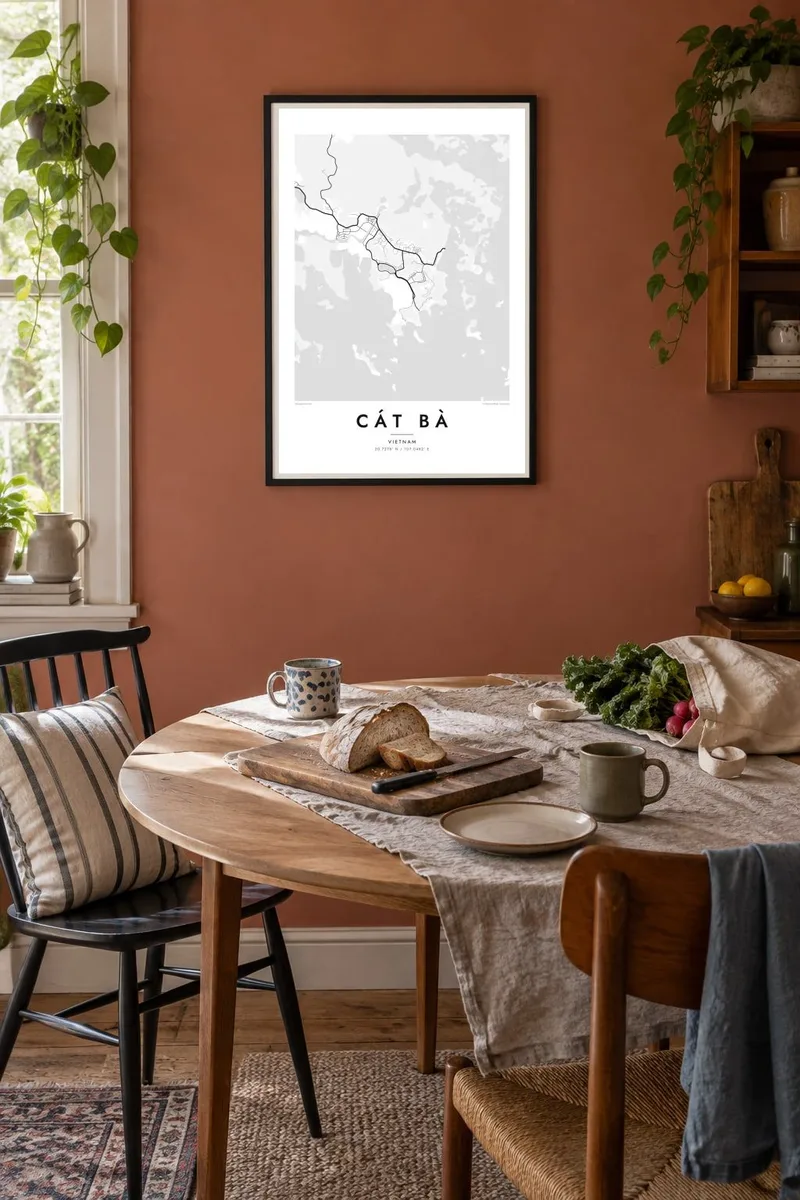


The map
Cát Bà is the largest island in the archipelago that stretches from Hai Phong toward Ha Long Bay. Its main town curves around a harbour on the south coast. From above, the town is a thin crescent of streets squeezed between the waterfront and steep limestone hills. Most of the island around it is forested karst with few roads.
Just offshore, Lan Ha Bay is scattered with hundreds of small limestone islets, and together they make one of the most striking coastlines anywhere. On a map, each islet is a small irregular shape, and together they form a dense, almost pixelated pattern. In 2023, the UNESCO World Heritage listing for Ha Long Bay was extended to include the Cát Bà archipelago.
Much of the island is protected as Cát Bà National Park, part of a UNESCO biosphere reserve and home to the critically endangered Cát Bà langur. A Cát Bà map poster works in two ways: tightly framed on the harbour town, or widened to show the islands that make the area famous.
The town follows the curve of its southern harbour, where a waterfront road and a few parallel streets are pressed against the hills behind.
Lan Ha Bay's many limestone outcrops appear as small, scattered shapes across the water. They create a rich, detailed texture that suits a monochrome print.
Much of the island's forested interior is protected land. On the map it appears as broad open space crossed by only a few winding roads.
Make it yours
Add a date, a name or a line of your own, switch style, size or orientation.
The free preview is low-resolution with a watermark. Prints and HD files are rendered at 300 DPI, up to 7,200 × 10,800 px, without a watermark.
Why Cát Bà
Cát Bà is often a highlight of a trip through northern Vietnam, a place of boat trips, cliffs and mornings over the bay. A map records that journey more quietly than a photograph and still shows the shapes that made it memorable.
Add a title, subtitle and your own coordinates, and choose Classic black and white, Noir, Paper, Blueprint or Sand. The HD files for $9 come in six sizes, each as a 300 DPI PNG and print-ready PDF, and a free watermarked preview is available first.
Order the Cát Bà poster| Print size | Resolution | Files |
|---|---|---|
| 30 × 40 cm11.8 × 15.7″ | 3,543 × 4,724 px | PNG · PDF |
| 29.7 × 42 cm (A3)11.7 × 16.5″ | 3,508 × 4,961 px | PNG · PDF |
| 42 × 59.4 cm (A2)16.5 × 23.4″ | 4,961 × 7,016 px | PNG · PDF |
| 45.7 × 61 cm18 × 24″ | 5,400 × 7,200 px | PNG · PDF |
| 50 × 70 cm19.7 × 27.6″ | 5,906 × 8,268 px | PNG · PDF |
| 61 × 91.4 cm24 × 36″ | 7,200 × 10,800 px | PNG · PDF |
For comparison, the free preview is 900 px wide, watermarked and meant for screens. The HD files have up to 8× the resolution in each direction and print cleanly at full poster size.
Pick a style at the top of the page, then choose Printed Poster — a size and, if you like, a frame — or Digital HD Files. Checkout takes one step, and your order page updates as soon as the payment goes through.
It is printed on premium 200 gsm matte paper in one of six sizes, from 30 × 40 cm to 24 × 36″. Printed posters start at $39, shipping included.
Yes. Choose a solid wood frame in black, white, natural oak or dark wood. It comes with shatterproof glazing and is ready to hang. Framed posters start at $99, shipping included.
Shipping is free to 60+ countries. Each poster is printed by the nearest of our print partners in 30+ countries and usually arrives in 3–7 business days. You can follow the status and tracking under My Orders. A few countries take 2–5 weeks, and where we don't ship yet, the site tells you before you pay.
Send us a photo within 14 days of delivery and we will reprint it for free or refund you.
Yes. In the editor on this page, change the title, the subtitle and the coordinates line to anything you like, and pick a style and size. Printed, framed and digital orders all use exactly your design.
For $9 you get 300 DPI PNG and print-ready PDF files in all six sizes, without a watermark, to print anywhere. Not sure yet? Download a free watermarked preview first.
Nearby
