Renmin Square
A large circular square in the centre where several major roads meet, one of a series of roundabout plazas that give the map its distinctive radial geometry.
Minimalist map poster · China
43.8800° N / 125.3228° E
Wide planned boulevards and large circular squares on the northeastern plain, interspersed with lakes, parks and forest.

One city, five moods
Tap a style to see it on the wall. Every style costs the same — printed, framed or as HD files.
 Actual pixels · 24 × 36″ print file
Print-sharp
This is a 100% crop of the real print file. Every poster — printed, framed or downloaded — is rendered on our servers at 300 DPI, up to 7,200 × 10,800 pixels, so even the smallest lanes stay crisp on a 24 × 36″ print.
On the wall

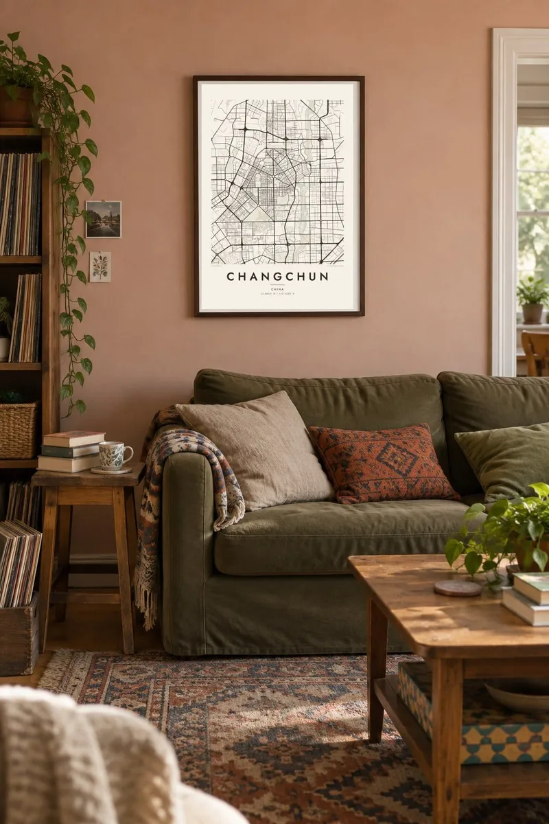

The map
Changchun's map is shaped by early twentieth-century planning. Long, wide boulevards cut across the city in straight lines, meeting at large circular squares from which roads radiate in several directions. Much of this layout dates from the period when the city served as Xinjing, the capital of the Japanese-controlled state of Manchukuo between 1932 and 1945.
Renmin Street runs north to south through the centre for more than ten kilometres, connecting several of these squares. After 1949, Changchun became a centre of the Chinese car industry: First Automobile Works was founded here in 1953, and its large industrial district still occupies a significant part of the south-western map.
Green spaces are generous. Nanhu Park, with its large lake, lies close to the centre, and to the south-east the Jingyuetan reservoir is surrounded by one of the largest planted forests in Asia. A Changchun map poster brings together the formal boulevards, the circles and the lakes in an unusually structured composition.
A large circular square in the centre where several major roads meet, one of a series of roundabout plazas that give the map its distinctive radial geometry.
An extensive park wrapped around an irregular lake just south-west of the centre, forming the largest open space within the inner city.
A reservoir surrounded by planted forest on the south-eastern edge of the city, its winding shoreline and wooded hills a soft counterpoint to the straight avenues.
Make it yours
Add a date, a name or a line of your own, switch style, size or orientation.
The free preview is low-resolution with a watermark. Prints and HD files are rendered at 300 DPI, up to 7,200 × 10,800 px, without a watermark.
Why Changchun
Changchun, the capital of Jilin province, has a map that reads almost like an architectural drawing: boulevards, circles and parks set in careful relation. It suits people from the north-east, families with ties to the car industry, and anyone who appreciates a planned city.
Edit the title, subtitle and coordinates line to record a hometown, a graduation year or a date together. Choose from five styles: Blueprint brings out the planning, while Noir makes the circles bold. The $9 download covers six sizes, from A3 to 24×36″.
Order the Changchun poster| Print size | Resolution | Files |
|---|---|---|
| 30 × 40 cm11.8 × 15.7″ | 3,543 × 4,724 px | PNG · PDF |
| 29.7 × 42 cm (A3)11.7 × 16.5″ | 3,508 × 4,961 px | PNG · PDF |
| 42 × 59.4 cm (A2)16.5 × 23.4″ | 4,961 × 7,016 px | PNG · PDF |
| 45.7 × 61 cm18 × 24″ | 5,400 × 7,200 px | PNG · PDF |
| 50 × 70 cm19.7 × 27.6″ | 5,906 × 8,268 px | PNG · PDF |
| 61 × 91.4 cm24 × 36″ | 7,200 × 10,800 px | PNG · PDF |
For comparison, the free preview is 900 px wide, watermarked and meant for screens. The HD files have up to 8× the resolution in each direction and print cleanly at full poster size.
Pick a style at the top of the page, then choose Printed Poster — a size and, if you like, a frame — or Digital HD Files. Checkout takes one step, and your order page updates as soon as the payment goes through.
It is printed on premium 200 gsm matte paper in one of six sizes, from 30 × 40 cm to 24 × 36″. Printed posters start at $39, shipping included.
Yes. Choose a solid wood frame in black, white, natural oak or dark wood. It comes with shatterproof glazing and is ready to hang. Framed posters start at $99, shipping included.
Shipping is free to 60+ countries. Each poster is printed by the nearest of our print partners in 30+ countries and usually arrives in 3–7 business days. You can follow the status and tracking under My Orders. A few countries take 2–5 weeks, and where we don't ship yet, the site tells you before you pay.
Send us a photo within 14 days of delivery and we will reprint it for free or refund you.
Yes. In the editor on this page, change the title, the subtitle and the coordinates line to anything you like, and pick a style and size. Printed, framed and digital orders all use exactly your design.
For $9 you get 300 DPI PNG and print-ready PDF files in all six sizes, without a watermark, to print anywhere. Not sure yet? Download a free watermarked preview first.
Nearby
