Industrial footprints
Large factory sites appear as bold rectangular blocks with few internal streets, giving the map strong geometric anchors among the finer village lanes.
Minimalist map poster · Indonesia
6.4856° S / 106.8819° E
An industrial town at the foot of the limestone hills south of Jakarta, where factories, villages and toll roads meet.

One city, five moods
Tap a style to see it on the wall. Every style costs the same — printed, framed or as HD files.
 Actual pixels · 24 × 36″ print file
Print-sharp
This is a 100% crop of the real print file. Every poster — printed, framed or downloaded — is rendered on our servers at 300 DPI, up to 7,200 × 10,800 pixels, so even the smallest lanes stay crisp on a 24 × 36″ print.
On the wall
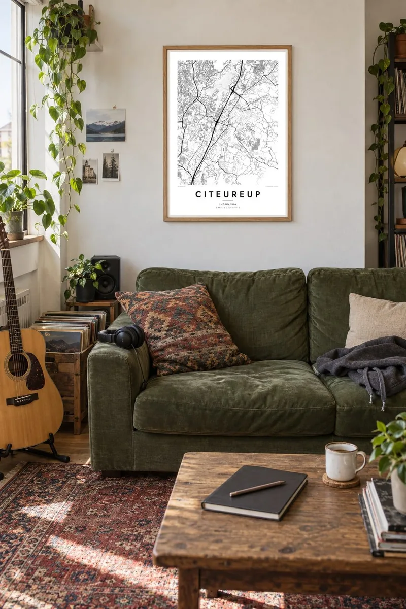

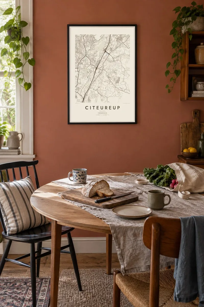
The map
Citeureup is a district of Bogor Regency in West Java, lying on the lowland corridor between Jakarta and Bogor. Its map is a mix of scales: large industrial sites with broad, rectilinear footprints sit beside village clusters where narrow lanes wind between houses and fields. To the east the land begins to rise into hills, and the street pattern thins out accordingly.
The district is known as a home of heavy industry, most notably a large cement works that has operated here for decades, drawing on limestone from the nearby hills. Toll roads linking the capital with Bogor pass close by, and access roads branch from them into the district, tying it firmly to the wider metropolitan area.
Small rivers flowing north toward the Jakarta plain cut across the district, often lined by narrow strips of green. A Citeureup map poster shows a working landscape rather than a tourist view, the kind of place where many people build their lives around a factory shift, a family compound and the road between them.
Large factory sites appear as bold rectangular blocks with few internal streets, giving the map strong geometric anchors among the finer village lanes.
Toward the east, the built area gives way to higher, more broken ground, where roads follow ridges and valleys instead of straight lines.
Kampung neighbourhoods form dense, branching networks of small paths, producing a delicate texture that prints especially well at larger sizes such as 50×70 cm.
Make it yours
Add a date, a name or a line of your own, switch style, size or orientation.
The free preview is low-resolution with a watermark. Prints and HD files are rendered at 300 DPI, up to 7,200 × 10,800 px, without a watermark.
Why Citeureup
For people who grew up in Citeureup or worked in its plants for years, this is a map of daily life: the route to work, the neighbourhood mosque, the family house. It turns an ordinary place into something worth framing.
Add a name, a year or a short dedication to the title and subtitle, and choose Classic black and white, Noir, Paper, Blueprint or Sand. The $9 digital files cover six print sizes, or order a matte print delivered through partners in 30+ countries.
Order the Citeureup poster| Print size | Resolution | Files |
|---|---|---|
| 30 × 40 cm11.8 × 15.7″ | 3,543 × 4,724 px | PNG · PDF |
| 29.7 × 42 cm (A3)11.7 × 16.5″ | 3,508 × 4,961 px | PNG · PDF |
| 42 × 59.4 cm (A2)16.5 × 23.4″ | 4,961 × 7,016 px | PNG · PDF |
| 45.7 × 61 cm18 × 24″ | 5,400 × 7,200 px | PNG · PDF |
| 50 × 70 cm19.7 × 27.6″ | 5,906 × 8,268 px | PNG · PDF |
| 61 × 91.4 cm24 × 36″ | 7,200 × 10,800 px | PNG · PDF |
For comparison, the free preview is 900 px wide, watermarked and meant for screens. The HD files have up to 8× the resolution in each direction and print cleanly at full poster size.
Pick a style at the top of the page, then choose Printed Poster — a size and, if you like, a frame — or Digital HD Files. Checkout takes one step, and your order page updates as soon as the payment goes through.
It is printed on premium 200 gsm matte paper in one of six sizes, from 30 × 40 cm to 24 × 36″. Printed posters start at $39, shipping included.
Yes. Choose a solid wood frame in black, white, natural oak or dark wood. It comes with shatterproof glazing and is ready to hang. Framed posters start at $99, shipping included.
Shipping is free to 60+ countries. Each poster is printed by the nearest of our print partners in 30+ countries and usually arrives in 3–7 business days. You can follow the status and tracking under My Orders. A few countries take 2–5 weeks, and where we don't ship yet, the site tells you before you pay.
Send us a photo within 14 days of delivery and we will reprint it for free or refund you.
Yes. In the editor on this page, change the title, the subtitle and the coordinates line to anything you like, and pick a style and size. Printed, framed and digital orders all use exactly your design.
For $9 you get 300 DPI PNG and print-ready PDF files in all six sizes, without a watermark, to print anywhere. Not sure yet? Download a free watermarked preview first.
Nearby
