Tunari range
The mountains rise sharply along the northern edge of the valley, so the city's street grid stops abruptly at their foot, leaving a strong, clean boundary.
Minimalist map poster · Bolivia
17.3819° S / 66.1599° W
A high Andean valley city spread across a flat basin, overlooked by the Tunari range and a hilltop statue of Christ.

One city, five moods
Tap a style to see it on the wall. Every style costs the same — printed, framed or as HD files.
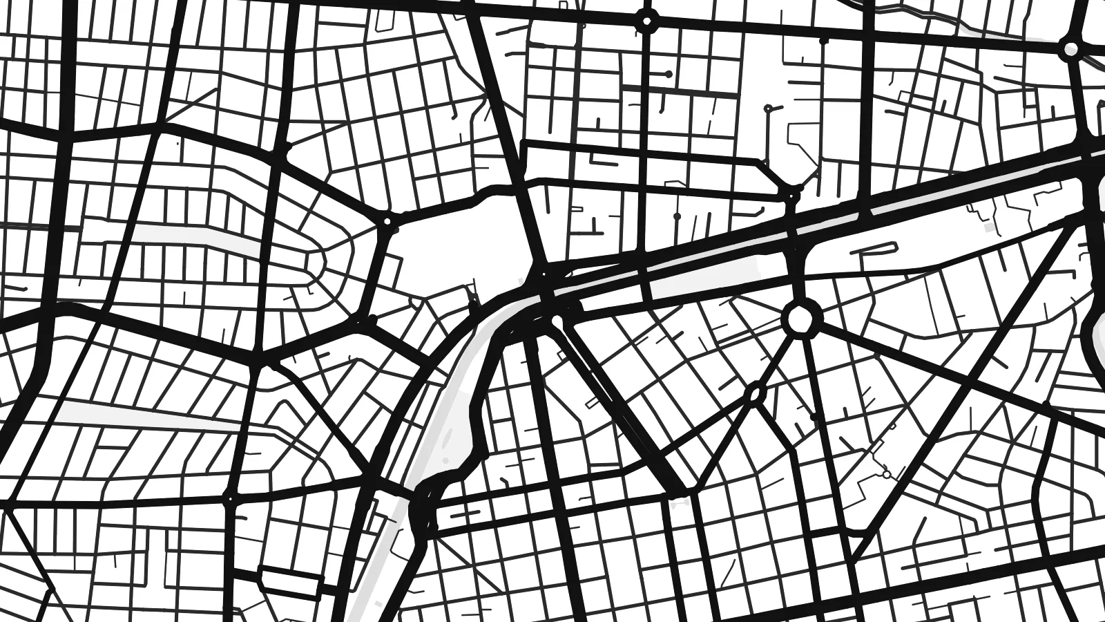 Actual pixels · 24 × 36″ print file
Print-sharp
This is a 100% crop of the real print file. Every poster — printed, framed or downloaded — is rendered on our servers at 300 DPI, up to 7,200 × 10,800 pixels, so even the smallest lanes stay crisp on a 24 × 36″ print.
On the wall
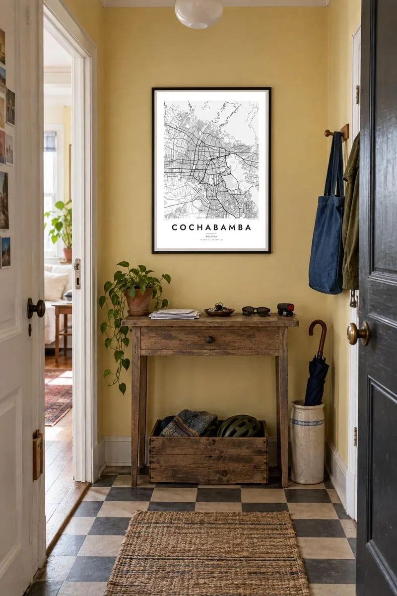


The map
Cochabamba lies in a fertile basin at around 2,500 metres in the Bolivian Andes, a setting that gives it a mild climate often described as eternal spring. From above, the city fills the valley floor in a wide, fairly regular grid, bounded to the north by the steep wall of the Tunari range and cut through by the channel of the Rocha River.
The colonial centre is organised around Plaza 14 de Septiembre, with straight blocks extending outward in every direction. To the east stands San Pedro hill, crowned by the Cristo de la Concordia, a statue taller than the famous figure in Rio de Janeiro. Nearby, the Alalay lagoon forms a broad oval of water at the south-eastern edge of the centre.
The city is also remembered for the water protests of 2000, which drew international attention to questions of public resources. A Cochabamba map poster translates the valley into clear lines: the grid of the centre, the diagonal avenues, the river channel and the open slopes that frame the basin on every side.
The mountains rise sharply along the northern edge of the valley, so the city's street grid stops abruptly at their foot, leaving a strong, clean boundary.
This shallow lagoon near the centre appears as a large smooth shape within the urban fabric, surrounded by roads and residential blocks.
The hill east of the centre breaks the grid with winding paths leading up to the Cristo de la Concordia statue at its summit.
Make it yours
Add a date, a name or a line of your own, switch style, size or orientation.
The free preview is low-resolution with a watermark. Prints and HD files are rendered at 300 DPI, up to 7,200 × 10,800 px, without a watermark.
Why Cochabamba
Cochabamba is a city people remember for its markets, its food and the light over the valley. A map of it fits a kitchen, a hallway or a study, and is a thoughtful gift for Bolivians living abroad.
The title, subtitle and coordinates line are yours to change, and the design comes in five styles: Classic black & white, Noir, Paper, Blueprint and Sand. Download the HD files for $9 or order a printed, framed version.
Order the Cochabamba poster| Print size | Resolution | Files |
|---|---|---|
| 30 × 40 cm11.8 × 15.7″ | 3,543 × 4,724 px | PNG · PDF |
| 29.7 × 42 cm (A3)11.7 × 16.5″ | 3,508 × 4,961 px | PNG · PDF |
| 42 × 59.4 cm (A2)16.5 × 23.4″ | 4,961 × 7,016 px | PNG · PDF |
| 45.7 × 61 cm18 × 24″ | 5,400 × 7,200 px | PNG · PDF |
| 50 × 70 cm19.7 × 27.6″ | 5,906 × 8,268 px | PNG · PDF |
| 61 × 91.4 cm24 × 36″ | 7,200 × 10,800 px | PNG · PDF |
For comparison, the free preview is 900 px wide, watermarked and meant for screens. The HD files have up to 8× the resolution in each direction and print cleanly at full poster size.
Pick a style at the top of the page, then choose Printed Poster — a size and, if you like, a frame — or Digital HD Files. Checkout takes one step, and your order page updates as soon as the payment goes through.
It is printed on premium 200 gsm matte paper in one of six sizes, from 30 × 40 cm to 24 × 36″. Printed posters start at $39, shipping included.
Yes. Choose a solid wood frame in black, white, natural oak or dark wood. It comes with shatterproof glazing and is ready to hang. Framed posters start at $99, shipping included.
Shipping is free to 60+ countries. Each poster is printed by the nearest of our print partners in 30+ countries and usually arrives in 3–7 business days. You can follow the status and tracking under My Orders. A few countries take 2–5 weeks, and where we don't ship yet, the site tells you before you pay.
Send us a photo within 14 days of delivery and we will reprint it for free or refund you.
Yes. In the editor on this page, change the title, the subtitle and the coordinates line to anything you like, and pick a style and size. Printed, framed and digital orders all use exactly your design.
For $9 you get 300 DPI PNG and print-ready PDF files in all six sizes, without a watermark, to print anywhere. Not sure yet? Download a free watermarked preview first.
Nearby
