Central grid
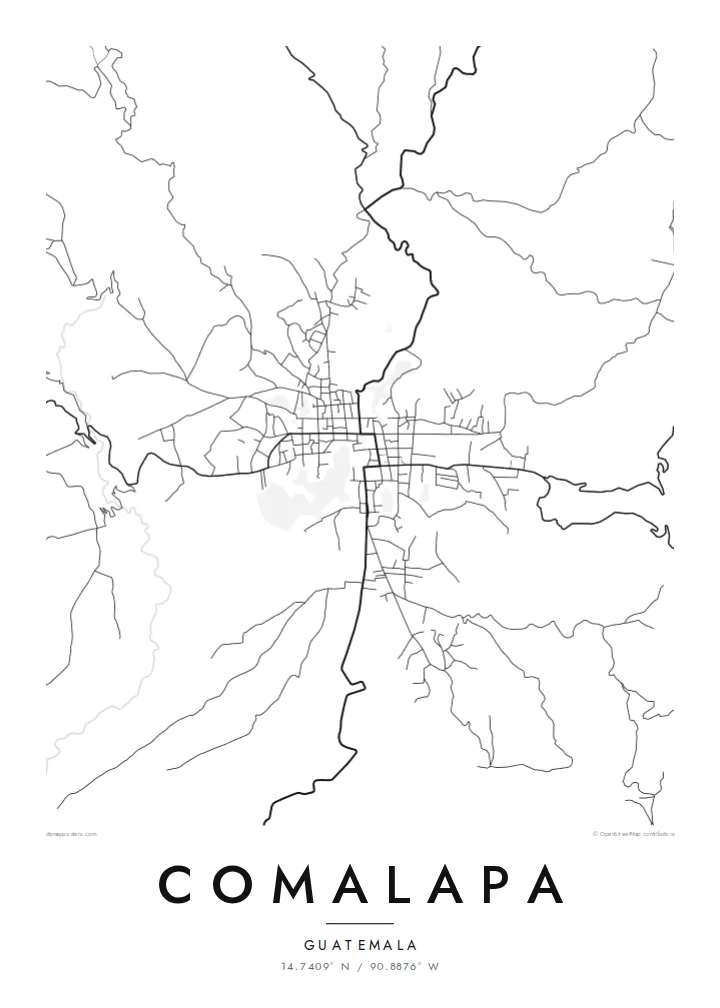
Straight streets meet at right angles around the main square. They form a compact block pattern that is the visual heart of the poster.
Minimalist map poster · Guatemala
14.7409° N / 90.8876° W
A highland town grid on a plateau edge, its streets running straight until deep ravines cut them short.
One city, five moods
Tap a style to see it on the wall. Every style costs the same — printed, framed or as HD files.
 Actual pixels · 24 × 36″ print file
Print-sharp
This is a 100% crop of the real print file. Every poster — printed, framed or downloaded — is rendered on our servers at 300 DPI, up to 7,200 × 10,800 pixels, so even the smallest lanes stay crisp on a 24 × 36″ print.
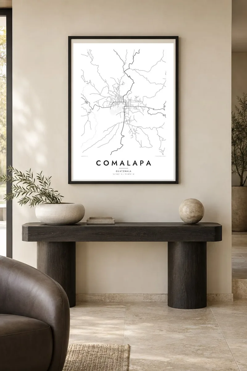
On the wall


The map
San Juan Comalapa lies in the highlands of Chimaltenango, on a plateau broken by steep ravines. From above, the centre is a clear colonial-style grid of blocks around a central square and church, and the pattern holds until the ground drops away. At the edges, roads bend to follow the ridges, and the tidy rectangles give way to fields and wooded gullies.
Most of the town's people are Kaqchikel Maya, and Comalapa is widely known for its painters, who work in a detailed, narrative style often called Maya naive art. The painter Andrés Curruchich, from Comalapa, helped bring that tradition to international attention in the twentieth century. Murals showing local history appear on walls around the town.
A Comalapa map poster turns this setting into line: a dense, orderly core with an irregular fringe shaped by the terrain. It is a small place, but the contrast between the planned centre and the ravines around it gives the map a distinctive outline that is easy to recognise.
Straight streets meet at right angles around the main square. They form a compact block pattern that is the visual heart of the poster.
Deep gullies surround the plateau, so the grid ends abruptly on several sides. On the map this creates ragged, organic edges around a regular centre.
Outside the town, roads curve along the high ground between ravines. They draw thin winding lines that lead out toward neighbouring highland communities.
Make it yours
Add a date, a name or a line of your own, switch style, size or orientation.
The free preview is low-resolution with a watermark. Prints and HD files are rendered at 300 DPI, up to 7,200 × 10,800 px, without a watermark.
Why Comalapa
For people with family roots in Comalapa, or visitors who came for its painting tradition, this map holds a very specific sense of place. Its clean structure works well next to colourful art and lets the geography speak quietly.
Personalise the title and subtitle, perhaps with a family name or a year, and pick one of five styles, from Classic black & white to warm Sand. Choose the $9 digital files in six sizes or a printed poster shipped from a print partner.
Order the Comalapa poster| Print size | Resolution | Files |
|---|---|---|
| 30 × 40 cm11.8 × 15.7″ | 3,543 × 4,724 px | PNG · PDF |
| 29.7 × 42 cm (A3)11.7 × 16.5″ | 3,508 × 4,961 px | PNG · PDF |
| 42 × 59.4 cm (A2)16.5 × 23.4″ | 4,961 × 7,016 px | PNG · PDF |
| 45.7 × 61 cm18 × 24″ | 5,400 × 7,200 px | PNG · PDF |
| 50 × 70 cm19.7 × 27.6″ | 5,906 × 8,268 px | PNG · PDF |
| 61 × 91.4 cm24 × 36″ | 7,200 × 10,800 px | PNG · PDF |
For comparison, the free preview is 900 px wide, watermarked and meant for screens. The HD files have up to 8× the resolution in each direction and print cleanly at full poster size.
Pick a style at the top of the page, then choose Printed Poster — a size and, if you like, a frame — or Digital HD Files. Checkout takes one step, and your order page updates as soon as the payment goes through.
It is printed on premium 200 gsm matte paper in one of six sizes, from 30 × 40 cm to 24 × 36″. Printed posters start at $39, shipping included.
Yes. Choose a solid wood frame in black, white, natural oak or dark wood. It comes with shatterproof glazing and is ready to hang. Framed posters start at $99, shipping included.
Shipping is free to 60+ countries. Each poster is printed by the nearest of our print partners in 30+ countries and usually arrives in 3–7 business days. You can follow the status and tracking under My Orders. A few countries take 2–5 weeks, and where we don't ship yet, the site tells you before you pay.
Send us a photo within 14 days of delivery and we will reprint it for free or refund you.
Yes. In the editor on this page, change the title, the subtitle and the coordinates line to anything you like, and pick a style and size. Printed, framed and digital orders all use exactly your design.
For $9 you get 300 DPI PNG and print-ready PDF files in all six sizes, without a watermark, to print anywhere. Not sure yet? Download a free watermarked preview first.
Nearby
