Commonwealth Avenue
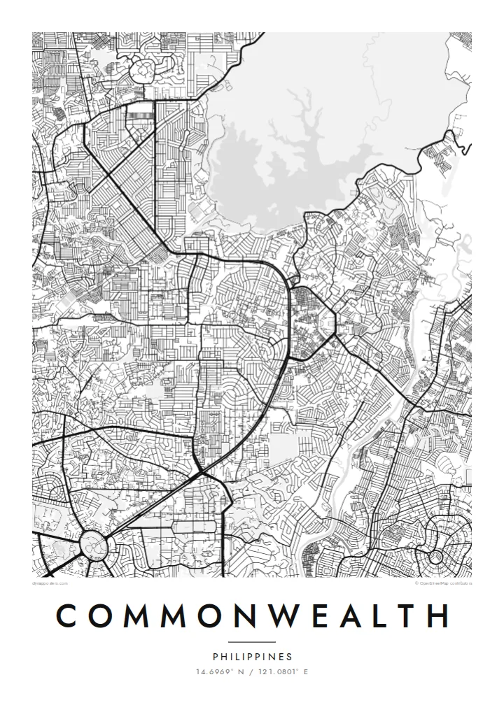
A multi-lane arterial road that forms the strongest line on the map, cutting a broad, gently curving path through the northeast of Quezon City.
Minimalist map poster · Philippines
14.6969° N / 121.0801° E
A long, wide avenue slices through dense residential blocks on the northeastern side of Quezon City, framed by winding subdivision streets.
One city, five moods
Tap a style to see it on the wall. Every style costs the same — printed, framed or as HD files.
 Actual pixels · 24 × 36″ print file
Print-sharp
This is a 100% crop of the real print file. Every poster — printed, framed or downloaded — is rendered on our servers at 300 DPI, up to 7,200 × 10,800 pixels, so even the smallest lanes stay crisp on a 24 × 36″ print.
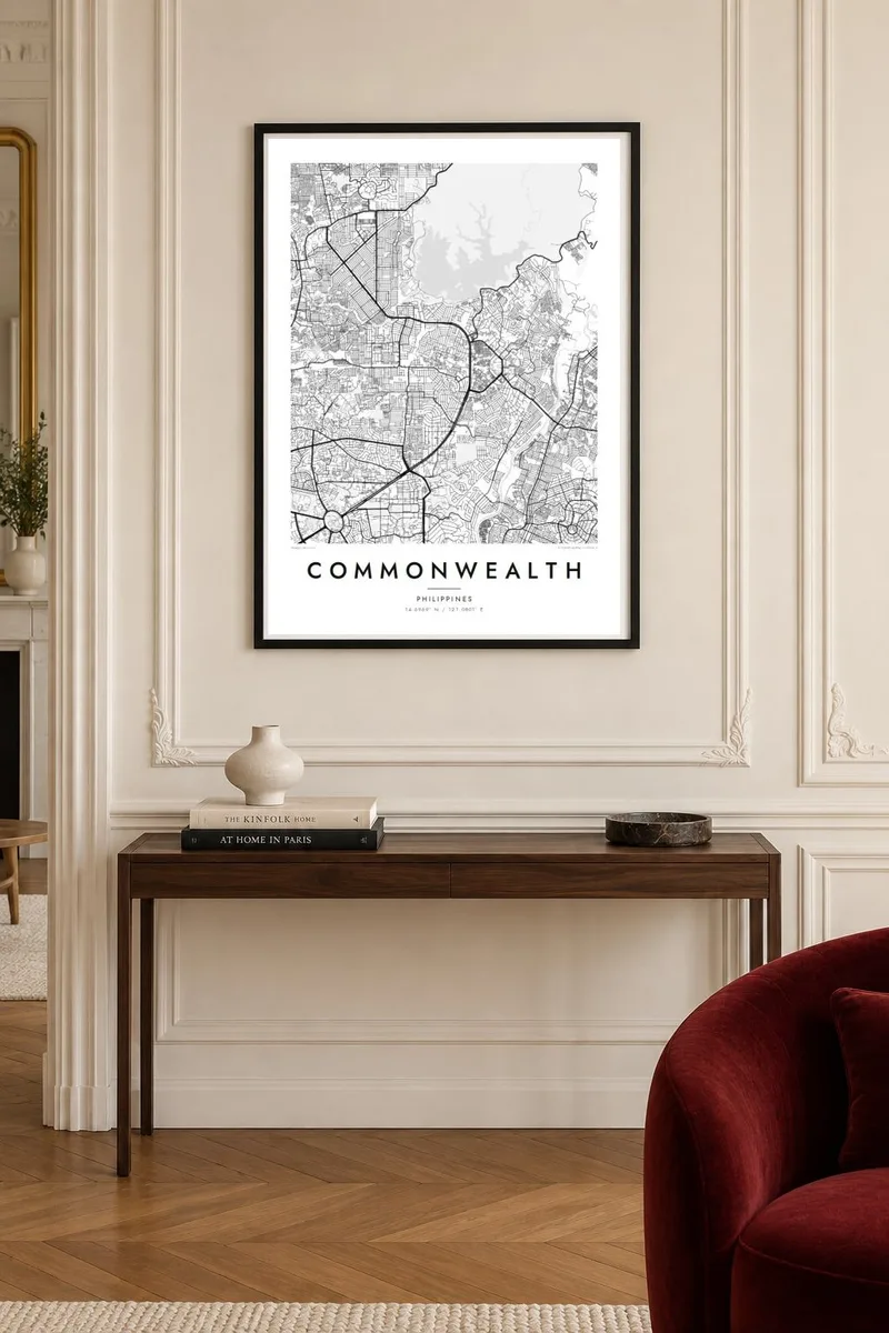
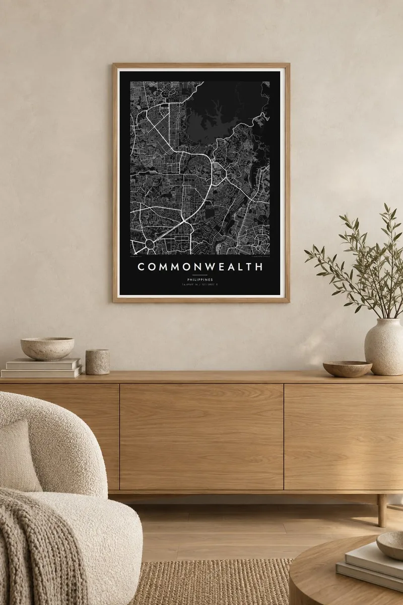
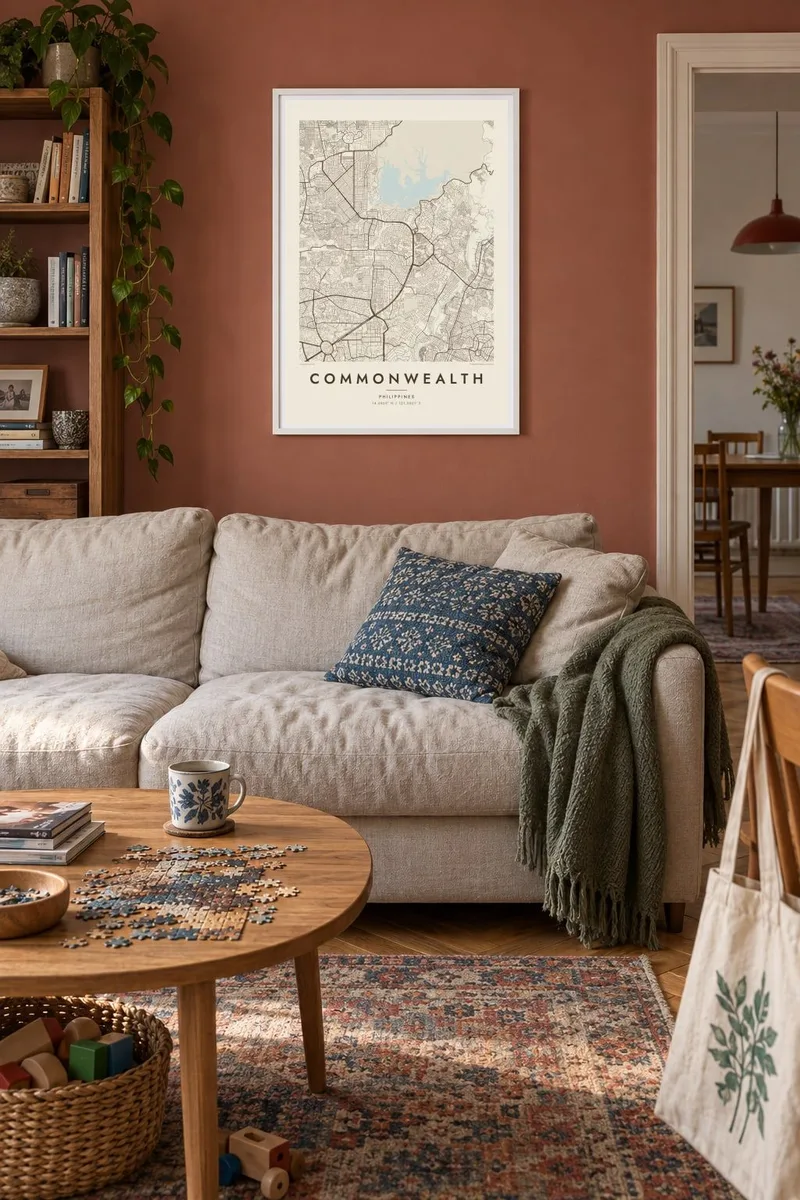
On the wall
The map
Commonwealth is a barangay of Quezon City, part of Metro Manila, and one of the most populous barangays in the country. From above it reads as a patchwork: planned subdivisions with looping streets sit beside tightly packed neighbourhoods where lanes branch and fork without a fixed pattern. The result is a surface of fine, irregular texture that holds a surprising amount of detail at poster scale.
Running through it is Commonwealth Avenue, the broad arterial that carries traffic between central Quezon City and the northern suburbs. It is often described as one of the widest roads in the Philippines, and on a map it appears as a heavy, confident stroke against the fine grain of the side streets. Few urban features translate to line work as clearly as this one.
A Commonwealth map poster centres on that contrast between a single dominant road and the intricate residential fabric around it. The composition suits black and white well, since the density itself does the visual work and nothing needs colour to explain it. It is a portrait of everyday Metro Manila rather than a postcard view, and that is exactly its appeal.
A multi-lane arterial road that forms the strongest line on the map, cutting a broad, gently curving path through the northeast of Quezon City.
Planned residential enclaves show up as curving streets and cul-de-sacs, an orderly counterpoint to the informal lanes packed tightly between them.
Hundreds of short lanes and alleys create an almost textile-like pattern, especially striking in the Classic black and white or Noir styles.
Make it yours
Add a date, a name or a line of your own, switch style, size or orientation.
The free preview is low-resolution with a watermark. Prints and HD files are rendered at 300 DPI, up to 7,200 × 10,800 px, without a watermark.
Why Commonwealth
For people who grew up here, commuted along the avenue every day or moved abroad and still miss it, this map captures a place most visitors never see. Add a family name, a move-in year or a short dedication to the title and subtitle lines.
Choose from five styles, Classic black and white, Noir, Paper, Blueprint or Sand, then download the HD files for $9 or order a matte print, with an optional wooden frame, shipped from print partners in more than 30 countries.
Order the Commonwealth poster| Print size | Resolution | Files |
|---|---|---|
| 30 × 40 cm11.8 × 15.7″ | 3,543 × 4,724 px | PNG · PDF |
| 29.7 × 42 cm (A3)11.7 × 16.5″ | 3,508 × 4,961 px | PNG · PDF |
| 42 × 59.4 cm (A2)16.5 × 23.4″ | 4,961 × 7,016 px | PNG · PDF |
| 45.7 × 61 cm18 × 24″ | 5,400 × 7,200 px | PNG · PDF |
| 50 × 70 cm19.7 × 27.6″ | 5,906 × 8,268 px | PNG · PDF |
| 61 × 91.4 cm24 × 36″ | 7,200 × 10,800 px | PNG · PDF |
For comparison, the free preview is 900 px wide, watermarked and meant for screens. The HD files have up to 8× the resolution in each direction and print cleanly at full poster size.
Pick a style at the top of the page, then choose Printed Poster — a size and, if you like, a frame — or Digital HD Files. Checkout takes one step, and your order page updates as soon as the payment goes through.
It is printed on premium 200 gsm matte paper in one of six sizes, from 30 × 40 cm to 24 × 36″. Printed posters start at $39, shipping included.
Yes. Choose a solid wood frame in black, white, natural oak or dark wood. It comes with shatterproof glazing and is ready to hang. Framed posters start at $99, shipping included.
Shipping is free to 60+ countries. Each poster is printed by the nearest of our print partners in 30+ countries and usually arrives in 3–7 business days. You can follow the status and tracking under My Orders. A few countries take 2–5 weeks, and where we don't ship yet, the site tells you before you pay.
Send us a photo within 14 days of delivery and we will reprint it for free or refund you.
Yes. In the editor on this page, change the title, the subtitle and the coordinates line to anything you like, and pick a style and size. Printed, framed and digital orders all use exactly your design.
For $9 you get 300 DPI PNG and print-ready PDF files in all six sizes, without a watermark, to print anywhere. Not sure yet? Download a free watermarked preview first.
Nearby
