Buriganga riverfront
The river curves along the southern edge of Old Dhaka, lined with ghats and the Sadarghat launch terminal, and forms the city’s oldest and most important waterfront.
Minimalist map poster · Bangladesh
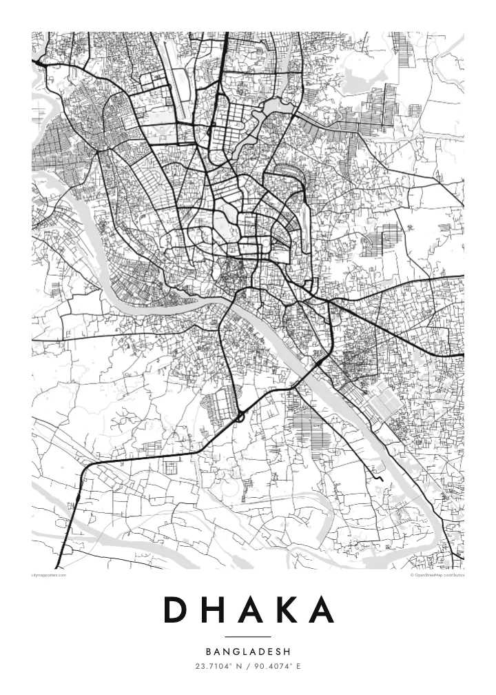
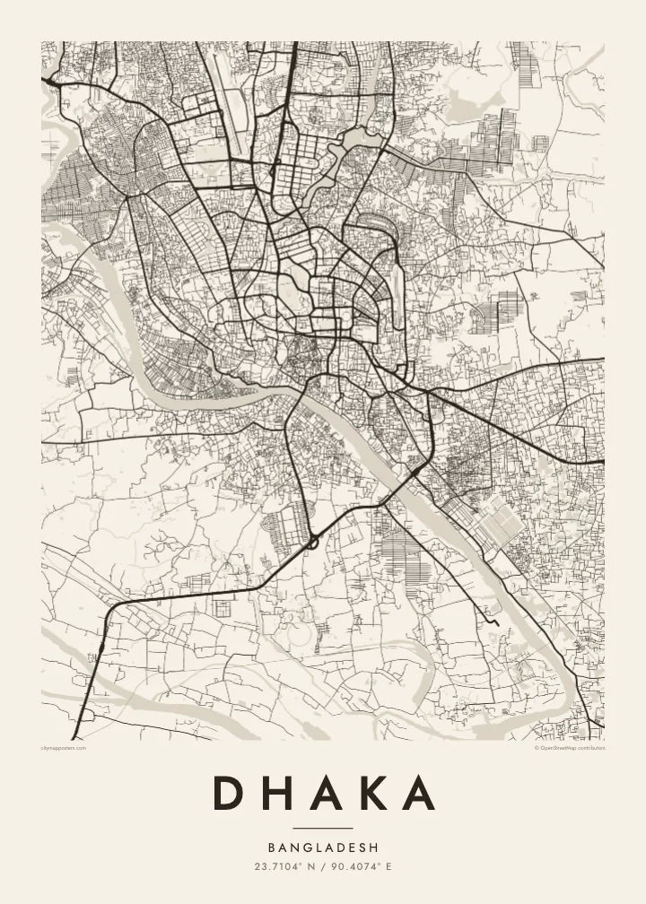
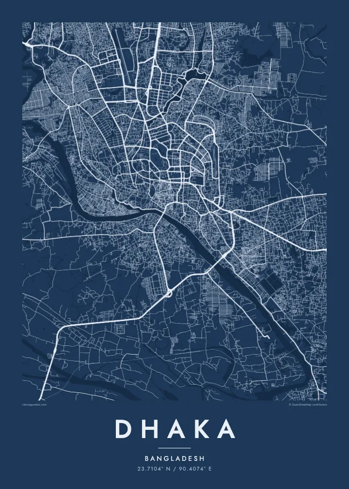
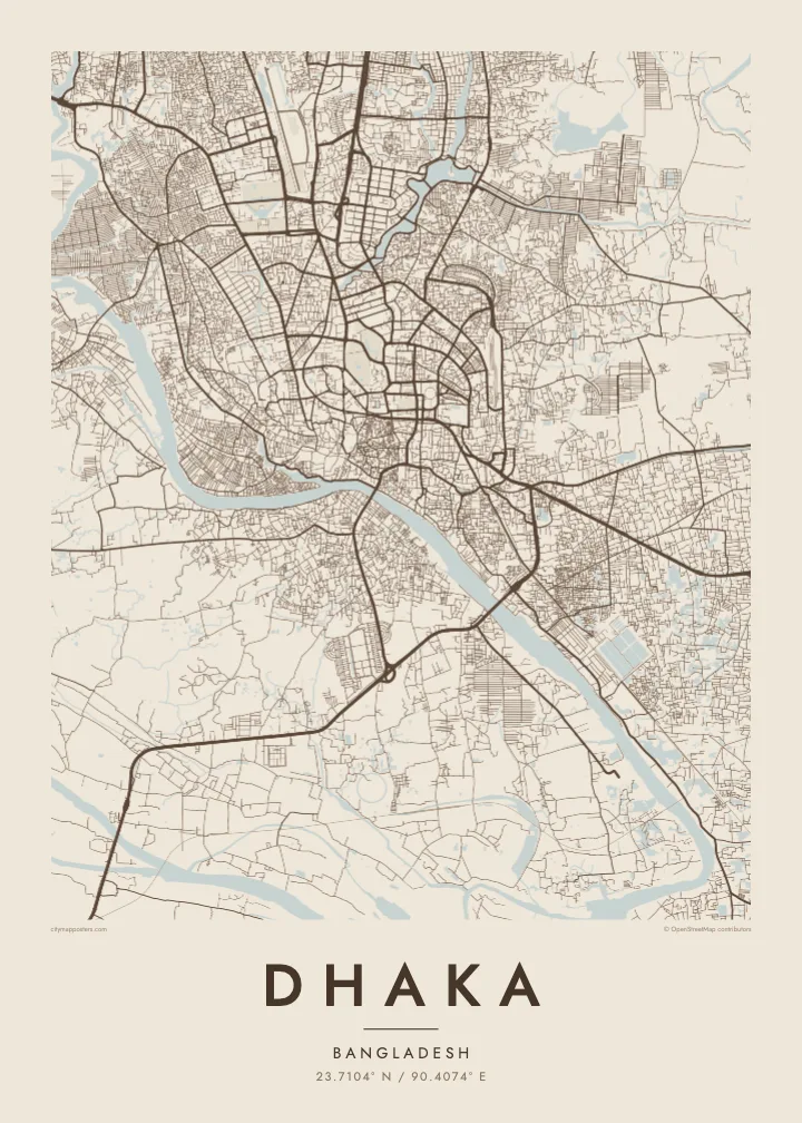
A dense river city surrounded by water, with the Buriganga to the south and lakes threading through the newer districts
23.7104° N / 90.4074° E

One city, five moods
Tap a style to see it on the wall. Every style is included in the same $9 price.
 Actual pixels · 24 × 36″ HD file
Print-sharp
This is a crop of the real HD file at 100%. The paid download is rendered on our servers at 300 DPI, up to 7,200 × 10,800 pixels, so even the smallest lanes stay crisp on a 24 × 36″ print.
The map
Dhaka sits on low land almost entirely surrounded by rivers: the Buriganga to the south and south-west, the Turag to the west and north, and the Balu to the east. On a map the city appears as a tightly built island in a delta landscape, with water and low fields pressing close on every side, and growth pushing steadily northward.
Old Dhaka, along the Buriganga, has the densest pattern of lanes, with the riverside terminal at Sadarghat and the Lalbagh Fort among its landmarks. Further north, lakes shape the planned districts: Dhanmondi Lake winds through its neighbourhood, Hatirjheel links older parts of the city with Gulshan, and Gulshan and Banani are framed by their own lakes before the map reaches the airport and Uttara.
The National Parliament House, designed by Louis Kahn, stands in Sher-e-Bangla Nagar within a moat-like lake and is one of the most admired modern buildings in South Asia. Dhaka is also among the most densely populated cities in the world. A Dhaka map poster makes sense of that density, showing how rivers and lakes give it structure.
The river curves along the southern edge of Old Dhaka, lined with ghats and the Sadarghat launch terminal, and forms the city’s oldest and most important waterfront.
Two lake systems cut through the planned districts, their long, narrow shapes winding between blocks and opening a series of clear lines through the dense middle of the city.
Louis Kahn’s complex in Sher-e-Bangla Nagar appears as a bold geometric form set within water and wide lawns, one of the clearest single shapes on the map.
Make it yours
Add a date, a name or a line of your own, switch style, size or orientation.
Free preview is low-resolution with a watermark. The HD version is 7,200 × 10,800 px, 300 DPI, no watermark.
Why Dhaka
Dhaka is a city people carry with them, whether they grew up in Old Dhaka, studied at Dhaka University or now live far away. A map of its rivers, lakes and lanes gives a calm, ordered view of a place usually experienced as crowded and fast.
Add a neighbourhood or family name in the title, use the subtitle for a date or a message, and edit the coordinates line. Choose Classic black & white, Noir, Paper, Blueprint or Sand, and order instant HD files or a printed matte poster.
Get the Dhaka poster — $9| Print size | Resolution | Files |
|---|---|---|
| 30 × 40 cm | 3,543 × 4,724 px | PNG · PDF |
| 50 × 70 cm | 5,906 × 8,268 px | PNG · PDF |
| A3 · 29.7 × 42 cm | 3,508 × 4,961 px | PNG · PDF |
| A2 · 42 × 59.4 cm | 4,961 × 7,016 px | PNG · PDF |
| 18 × 24" | 5,400 × 7,200 px | PNG · PDF |
| 24 × 36" | 7,200 × 10,800 px | PNG · PDF |
For comparison, the free preview is 900 px wide, watermarked and meant for screens. The HD files have up to 8× the resolution in each direction and print cleanly at full poster size.
Yes. Drag and zoom the map in the editor — centre it on your neighbourhood, the old town or the whole metro area. The text updates independently.
The HD purchase includes 30×40 cm, 50×70 cm, A3, A2, 18×24″ and 24×36″, each as a 300 DPI PNG and a print-ready PDF.
You can download a free 900 px preview with a watermark. The paid HD files have no watermark and are sharp enough for large prints.
Send the PDF to any local print shop or online printing service and ask for the matching paper size. Matte paper and a thin black or oak frame suit this style best.
Nearby
