Dongjiang channels
The East River splits into braided channels across the north of the city on its way to the delta, drawing pale lines through farmland and the newer districts along its banks.
Minimalist map poster · China
A sprawling patchwork of towns between Guangzhou and Shenzhen, laced with river channels and edged by the Pearl River estuary.
23.0180° N / 113.7487° E
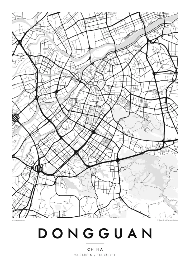


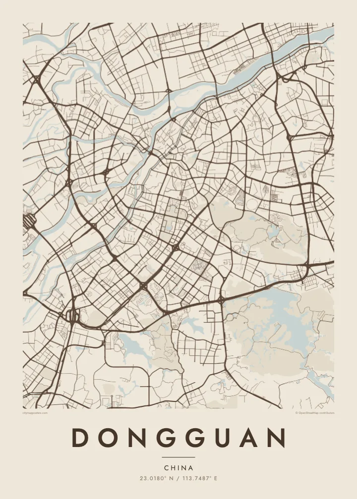
One city, five moods
Tap a style to see it on the wall. Every style is included in the same $9 price.
 Actual pixels · 24 × 36″ HD file
Print-sharp
This is a crop of the real HD file at 100%. The paid download is rendered on our servers at 300 DPI, up to 7,200 × 10,800 pixels, so even the smallest lanes stay crisp on a 24 × 36″ print.
The map
Dongguan has no single centre in the usual sense. The city is organised as a collection of towns under the municipal government, and from above they appear as separate clusters of streets joined by expressways across the Pearl River Delta. The Dongjiang, or East River, divides into several channels along the northern edge, while the western side faces the wide estuary.
The town of Humen, on the estuary side, is where the official Lin Zexu destroyed confiscated opium in 1839, an event that preceded the First Opium War. Today the Humen Bridge spans the Pearl River nearby, a long thin line on the map connecting Dongguan with the opposite shore. In the southeast, Songshan Lake shapes a greener district of research parks and campuses.
Dongguan became known in recent decades as one of the world's major manufacturing centres, and its layout reflects that growth: industrial blocks, broad arterial roads and older village cores sit side by side. A Dongguan map poster turns this complicated, polycentric landscape into a readable pattern of water, roads and town grids, with each cluster holding its own streets.
The East River splits into braided channels across the north of the city on its way to the delta, drawing pale lines through farmland and the newer districts along its banks.
A suspension bridge across the Pearl River estuary near Humen, where the land narrows toward the water. On the poster it leaves the Dongguan shore as a single, fine stroke.
An irregular lake in the southeast, wrapped by parkland and a newer technology district. Its branching shoreline stands out against the denser road networks of the surrounding towns.
Make it yours
Add a date, a name or a line of your own, switch style, size or orientation.
Free preview is low-resolution with a watermark. The HD version is 7,200 × 10,800 px, 300 DPI, no watermark.
Why Dongguan
Many people have spent formative working years in Dongguan, or have family spread across its towns. A map showing Humen, the city centre and the river channels together gives a sense of the whole place, rather than a single neighbourhood or factory district.
Personalise the title with the name of your town, add a date or a subtitle, and pick one of five styles, from Paper to Sand. The digital file comes in six print sizes, or you can order a matte printed poster with an optional wooden frame.
Get the Dongguan poster — $9| Print size | Resolution | Files |
|---|---|---|
| 30 × 40 cm | 3,543 × 4,724 px | PNG · PDF |
| 50 × 70 cm | 5,906 × 8,268 px | PNG · PDF |
| A3 · 29.7 × 42 cm | 3,508 × 4,961 px | PNG · PDF |
| A2 · 42 × 59.4 cm | 4,961 × 7,016 px | PNG · PDF |
| 18 × 24" | 5,400 × 7,200 px | PNG · PDF |
| 24 × 36" | 7,200 × 10,800 px | PNG · PDF |
For comparison, the free preview is 900 px wide, watermarked and meant for screens. The HD files have up to 8× the resolution in each direction and print cleanly at full poster size.
Yes. Drag and zoom the map in the editor — centre it on your neighbourhood, the old town or the whole metro area. The text updates independently.
The HD purchase includes 30×40 cm, 50×70 cm, A3, A2, 18×24″ and 24×36″, each as a 300 DPI PNG and a print-ready PDF.
You can download a free 900 px preview with a watermark. The paid HD files have no watermark and are sharp enough for large prints.
Send the PDF to any local print shop or online printing service and ask for the matching paper size. Matte paper and a thin black or oak frame suit this style best.
Nearby
