Bastioned fortress
The walls of the Portuguese City form a sharply angled outline with pointed bastions, one of the most graphic shapes a coastal map can offer.
Minimalist map poster · Morocco
33.2568° N / 8.5088° W
An Atlantic shoreline with a bastioned Portuguese fortress at the harbour and a long curve of beach sweeping around the bay.

One city, five moods
Tap a style to see it on the wall. Every style costs the same — printed, framed or as HD files.
 Actual pixels · 24 × 36″ print file
Print-sharp
This is a 100% crop of the real print file. Every poster — printed, framed or downloaded — is rendered on our servers at 300 DPI, up to 7,200 × 10,800 pixels, so even the smallest lanes stay crisp on a 24 × 36″ print.
On the wall

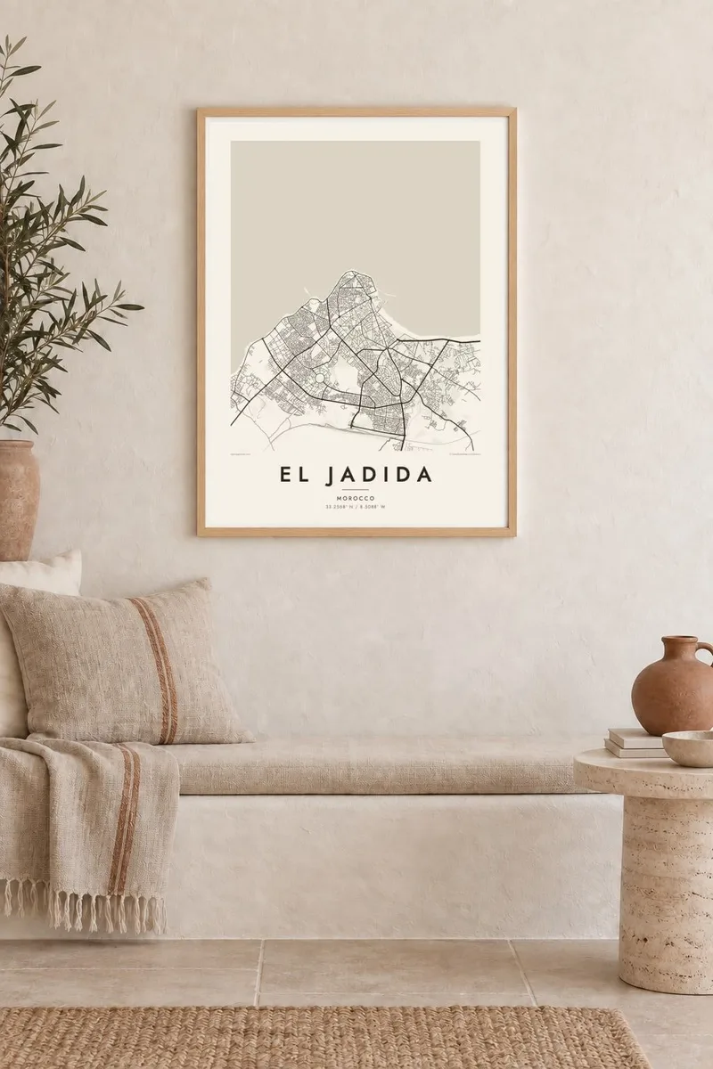
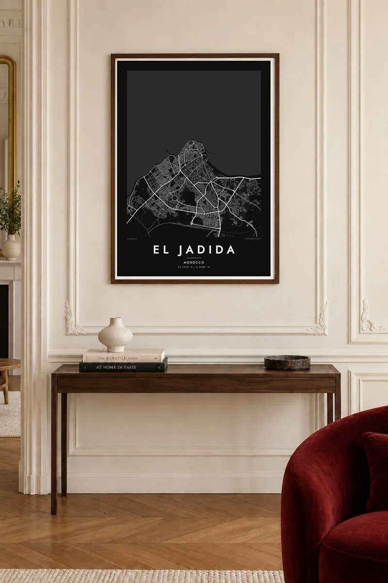
The map
El Jadida faces the Atlantic about a hundred kilometres southwest of Casablanca. Its most recognisable shape sits right at the waterline: the Portuguese City, a compact fortified town built in the sixteenth century as Mazagan, with angular bastions projecting toward the sea. Behind it the modern city fans out in regular blocks, and a long curve of sand runs along the bay.
The Portuguese City is a UNESCO World Heritage Site. Inside it is the Manueline cistern, a vaulted underground hall where a thin layer of water reflects the columns and a single shaft of light, and where Orson Welles filmed scenes of Othello. Mazagan was one of the last Portuguese strongholds in Morocco and was abandoned in 1769.
An El Jadida map poster pairs two very different geometries: the tight, walled plan of the fortress and the looser modern city behind it, all framed by open ocean. It suits summer visitors who came back to the beach year after year, and families from the Doukkala plain who know the city as their market town.
The walls of the Portuguese City form a sharply angled outline with pointed bastions, one of the most graphic shapes a coastal map can offer.
A small fishing port sits beside the old walls, and its breakwater draws a short, clean line out into the open Atlantic.
A long, gently curving shoreline runs away from the centre, giving the composition a sweeping edge between the street pattern and the sea.
Make it yours
Add a date, a name or a line of your own, switch style, size or orientation.
The free preview is low-resolution with a watermark. Prints and HD files are rendered at 300 DPI, up to 7,200 × 10,800 px, without a watermark.
Why El Jadida
For many Moroccan families, El Jadida means summer: the promenade, the beach, evenings inside the old walls. The poster keeps that coastline in view after the season ends, in a form calm enough for any room.
You can rename the poster, add a subtitle and edit the coordinates line, then choose among five styles. Blueprint suits the sea edge especially well. The $9 HD download covers six print sizes, each as a 300 DPI PNG and a print-ready PDF.
Order the El Jadida poster| Print size | Resolution | Files |
|---|---|---|
| 30 × 40 cm11.8 × 15.7″ | 3,543 × 4,724 px | PNG · PDF |
| 29.7 × 42 cm (A3)11.7 × 16.5″ | 3,508 × 4,961 px | PNG · PDF |
| 42 × 59.4 cm (A2)16.5 × 23.4″ | 4,961 × 7,016 px | PNG · PDF |
| 45.7 × 61 cm18 × 24″ | 5,400 × 7,200 px | PNG · PDF |
| 50 × 70 cm19.7 × 27.6″ | 5,906 × 8,268 px | PNG · PDF |
| 61 × 91.4 cm24 × 36″ | 7,200 × 10,800 px | PNG · PDF |
For comparison, the free preview is 900 px wide, watermarked and meant for screens. The HD files have up to 8× the resolution in each direction and print cleanly at full poster size.
Pick a style at the top of the page, then choose Printed Poster — a size and, if you like, a frame — or Digital HD Files. Checkout takes one step, and your order page updates as soon as the payment goes through.
It is printed on premium 200 gsm matte paper in one of six sizes, from 30 × 40 cm to 24 × 36″. Printed posters start at $39, shipping included.
Yes. Choose a solid wood frame in black, white, natural oak or dark wood. It comes with shatterproof glazing and is ready to hang. Framed posters start at $99, shipping included.
Shipping is free to 60+ countries. Each poster is printed by the nearest of our print partners in 30+ countries and usually arrives in 3–7 business days. You can follow the status and tracking under My Orders. A few countries take 2–5 weeks, and where we don't ship yet, the site tells you before you pay.
Send us a photo within 14 days of delivery and we will reprint it for free or refund you.
Yes. In the editor on this page, change the title, the subtitle and the coordinates line to anything you like, and pick a style and size. Printed, framed and digital orders all use exactly your design.
For $9 you get 300 DPI PNG and print-ready PDF files in all six sizes, without a watermark, to print anywhere. Not sure yet? Download a free watermarked preview first.
Nearby
