Glass Window Bridge
In the north, the island thins to a narrow neck of rock. On the map it becomes the slimmest point of the silhouette, easy to find and hard to forget.
Minimalist map poster · Bahamas
25.0884° N / 76.4538° W
A thin ribbon of land more than a hundred miles long, curving between the open Atlantic and a shallow bight

One city, five moods
Tap a style to see it on the wall. Every style costs the same — printed, framed or as HD files.
 Actual pixels · 24 × 36″ print file
Print-sharp
This is a 100% crop of the real print file. Every poster — printed, framed or downloaded — is rendered on our servers at 300 DPI, up to 7,200 × 10,800 pixels, so even the smallest lanes stay crisp on a 24 × 36″ print.
On the wall

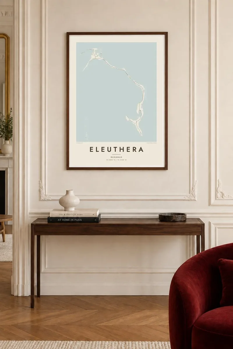
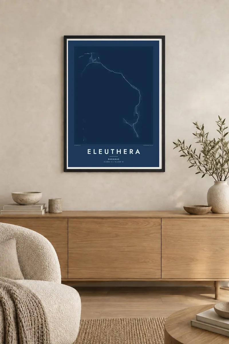
The island
Eleuthera stretches in a long, narrow arc through the central Bahamas, east of Nassau. In many places it is only a mile or two wide, and at some points far less. The eastern shore faces the deep Atlantic, the western one the shallow Bight of Eleuthera, so the island is essentially a line drawn between two very different kinds of water.
Its name comes from the Greek word for freedom, chosen by the Eleutheran Adventurers, a group of English Puritans who settled here in the seventeenth century. Near the north end, the Glass Window Bridge crosses a spot where the island narrows to a sliver of rock, with dark ocean on one side and pale, shallow water on the other.
An Eleuthera map poster is almost all silhouette. The Queen's Highway runs much of the island's length, linking settlements such as Governor's Harbour and Rock Sound, while Harbour Island sits off the northern end. Because the shape is so tall and slender, it looks best in a portrait frame, where it reads like a single confident brushstroke.
In the north, the island thins to a narrow neck of rock. On the map it becomes the slimmest point of the silhouette, easy to find and hard to forget.
The broad, shallow bay on the western side gives the island its curve and leaves a wide, calm area of water across the frame.
A small island off the northeast coast, known for its pink sand beach and the settlement of Dunmore Town, completes the northern end of the composition.
Make it yours
Add a date, a name or a line of your own, switch style, size or orientation.
The free preview is low-resolution with a watermark. Prints and HD files are rendered at 300 DPI, up to 7,200 × 10,800 px, without a watermark.
Why Eleuthera
People hang Eleuthera to remember a drive down the Queen's Highway, a stay in Governor's Harbour, or a wedding on a pink beach. The long, curving shape is unusual and graphic, and it looks deliberate even from the other side of a room.
Add your own title and subtitle, such as a family name or the date you first arrived, and keep the coordinates or adjust them. Sand and Blueprint suit the island's two waters, while Classic black & white, Noir and Paper are equally available in every size.
Order the Eleuthera poster| Print size | Resolution | Files |
|---|---|---|
| 30 × 40 cm11.8 × 15.7″ | 3,543 × 4,724 px | PNG · PDF |
| 29.7 × 42 cm (A3)11.7 × 16.5″ | 3,508 × 4,961 px | PNG · PDF |
| 42 × 59.4 cm (A2)16.5 × 23.4″ | 4,961 × 7,016 px | PNG · PDF |
| 45.7 × 61 cm18 × 24″ | 5,400 × 7,200 px | PNG · PDF |
| 50 × 70 cm19.7 × 27.6″ | 5,906 × 8,268 px | PNG · PDF |
| 61 × 91.4 cm24 × 36″ | 7,200 × 10,800 px | PNG · PDF |
For comparison, the free preview is 900 px wide, watermarked and meant for screens. The HD files have up to 8× the resolution in each direction and print cleanly at full poster size.
Pick a style at the top of the page, then choose Printed Poster — a size and, if you like, a frame — or Digital HD Files. Checkout takes one step, and your order page updates as soon as the payment goes through.
It is printed on premium 200 gsm matte paper in one of six sizes, from 30 × 40 cm to 24 × 36″. Printed posters start at $39, shipping included.
Yes. Choose a solid wood frame in black, white, natural oak or dark wood. It comes with shatterproof glazing and is ready to hang. Framed posters start at $99, shipping included.
Shipping is free to 60+ countries. Each poster is printed by the nearest of our print partners in 30+ countries and usually arrives in 3–7 business days. You can follow the status and tracking under My Orders. A few countries take 2–5 weeks, and where we don't ship yet, the site tells you before you pay.
Send us a photo within 14 days of delivery and we will reprint it for free or refund you.
Yes. In the editor on this page, change the title, the subtitle and the coordinates line to anything you like, and pick a style and size. Printed, framed and digital orders all use exactly your design.
For $9 you get 300 DPI PNG and print-ready PDF files in all six sizes, without a watermark, to print anywhere. Not sure yet? Download a free watermarked preview first.
Nearby
