Renaissance walls
A near-continuous circuit of ramparts encloses the historic city, forming a strong, closed outline that frames everything inside it.
Minimalist map poster · Italy
44.8380° N / 11.6206° E
A walled Renaissance city in the Po plain, its medieval lanes and planned grid meeting at a moated castle

One city, five moods
Tap a style to see it on the wall. Every style costs the same — printed, framed or as HD files.
 Actual pixels · 24 × 36″ print file
Print-sharp
This is a 100% crop of the real print file. Every poster — printed, framed or downloaded — is rendered on our servers at 300 DPI, up to 7,200 × 10,800 pixels, so even the smallest lanes stay crisp on a 24 × 36″ print.
On the wall

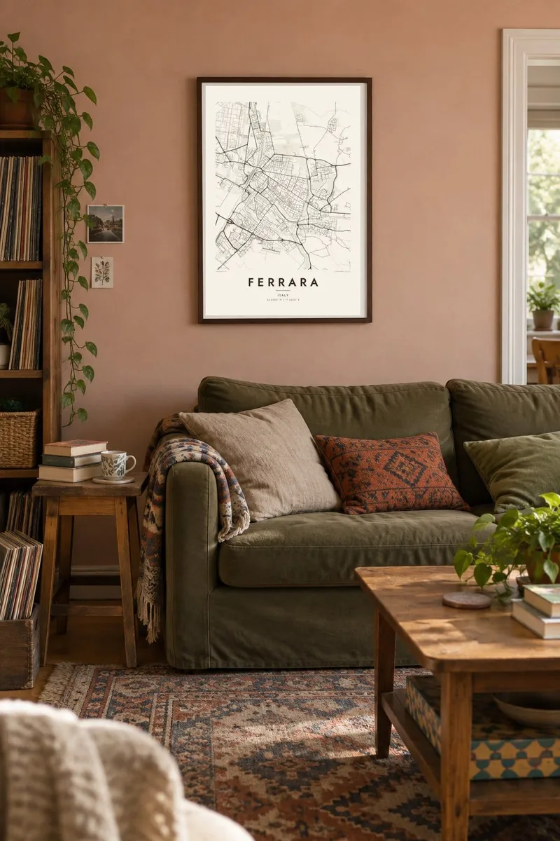
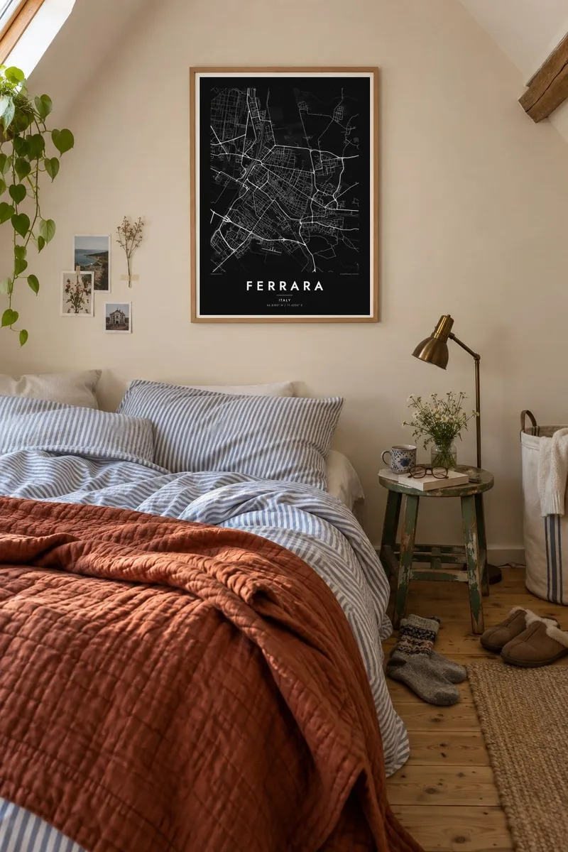
The map
Ferrara lies in the flat Po plain of Emilia-Romagna, a short distance south of the great river. Its old centre is enclosed by almost nine kilometres of city walls, among the best preserved in Italy, now topped by a tree-lined path that circles the city. At the centre stands the Castello Estense, a moated fortress of the Este family who ruled here for centuries.
In the late fifteenth century, Duke Ercole I commissioned the architect Biagio Rossetti to double the size of the city. This extension, the Addizione Erculea, is often considered the first modern urban plan in Europe, and it contributed to Ferrara's UNESCO World Heritage listing. The city is also known for its bicycles, which outnumber cars in the centre.
A Ferrara map poster shows two cities side by side. To the south lies the medieval tangle of narrow, curving streets. To the north stretches Rossetti's ordered grid of long, straight avenues. The castle sits where they meet, and the full ring of walls encloses both, giving the map a crisp, readable outline.
A near-continuous circuit of ramparts encloses the historic city, forming a strong, closed outline that frames everything inside it.
Rossetti's northern extension lays wide, straight streets across the old plan, a precise grid that contrasts sharply with the medieval south.
The moated square fortress sits at the junction of old and new, a compact geometric shape at the visual centre of the map.
Make it yours
Add a date, a name or a line of your own, switch style, size or orientation.
The free preview is low-resolution with a watermark. Prints and HD files are rendered at 300 DPI, up to 7,200 × 10,800 px, without a watermark.
Why Ferrara
Ferrara rewards people who love urban history. The map shows one of Europe's clearest meetings of medieval and Renaissance planning, and it suits a study, a library or a gift for someone who studied or cycled here.
Personalise the title, subtitle and coordinates, perhaps with a year spent in Italy. Then choose Classic black & white, Noir, Paper, Blueprint or Sand. Blueprint emphasises the Renaissance grid, and Sand gives the walls a warm, brick-like tone.
Order the Ferrara poster| Print size | Resolution | Files |
|---|---|---|
| 30 × 40 cm11.8 × 15.7″ | 3,543 × 4,724 px | PNG · PDF |
| 29.7 × 42 cm (A3)11.7 × 16.5″ | 3,508 × 4,961 px | PNG · PDF |
| 42 × 59.4 cm (A2)16.5 × 23.4″ | 4,961 × 7,016 px | PNG · PDF |
| 45.7 × 61 cm18 × 24″ | 5,400 × 7,200 px | PNG · PDF |
| 50 × 70 cm19.7 × 27.6″ | 5,906 × 8,268 px | PNG · PDF |
| 61 × 91.4 cm24 × 36″ | 7,200 × 10,800 px | PNG · PDF |
For comparison, the free preview is 900 px wide, watermarked and meant for screens. The HD files have up to 8× the resolution in each direction and print cleanly at full poster size.
Pick a style at the top of the page, then choose Printed Poster — a size and, if you like, a frame — or Digital HD Files. Checkout takes one step, and your order page updates as soon as the payment goes through.
It is printed on premium 200 gsm matte paper in one of six sizes, from 30 × 40 cm to 24 × 36″. Printed posters start at $39, shipping included.
Yes. Choose a solid wood frame in black, white, natural oak or dark wood. It comes with shatterproof glazing and is ready to hang. Framed posters start at $99, shipping included.
Shipping is free to 60+ countries. Each poster is printed by the nearest of our print partners in 30+ countries and usually arrives in 3–7 business days. You can follow the status and tracking under My Orders. A few countries take 2–5 weeks, and where we don't ship yet, the site tells you before you pay.
Send us a photo within 14 days of delivery and we will reprint it for free or refund you.
Yes. In the editor on this page, change the title, the subtitle and the coordinates line to anything you like, and pick a style and size. Printed, framed and digital orders all use exactly your design.
For $9 you get 300 DPI PNG and print-ready PDF files in all six sizes, without a watermark, to print anywhere. Not sure yet? Download a free watermarked preview first.
Nearby
