Grid over drumlins
The city centre's grid of long straight streets runs up and down small glacial hills, so the map shows strict order laid over uneven ground.
Minimalist map poster · United Kingdom
55.8651° N / 4.2576° W
A city spread across the River Clyde, with a hilly Victorian grid, large parks and a motorway sweeping around the centre.

One city, five moods
Tap a style to see it on the wall. Every style costs the same — printed, framed or as HD files.
 Actual pixels · 24 × 36″ print file
Print-sharp
This is a 100% crop of the real print file. Every poster — printed, framed or downloaded — is rendered on our servers at 300 DPI, up to 7,200 × 10,800 pixels, so even the smallest lanes stay crisp on a 24 × 36″ print.
On the wall
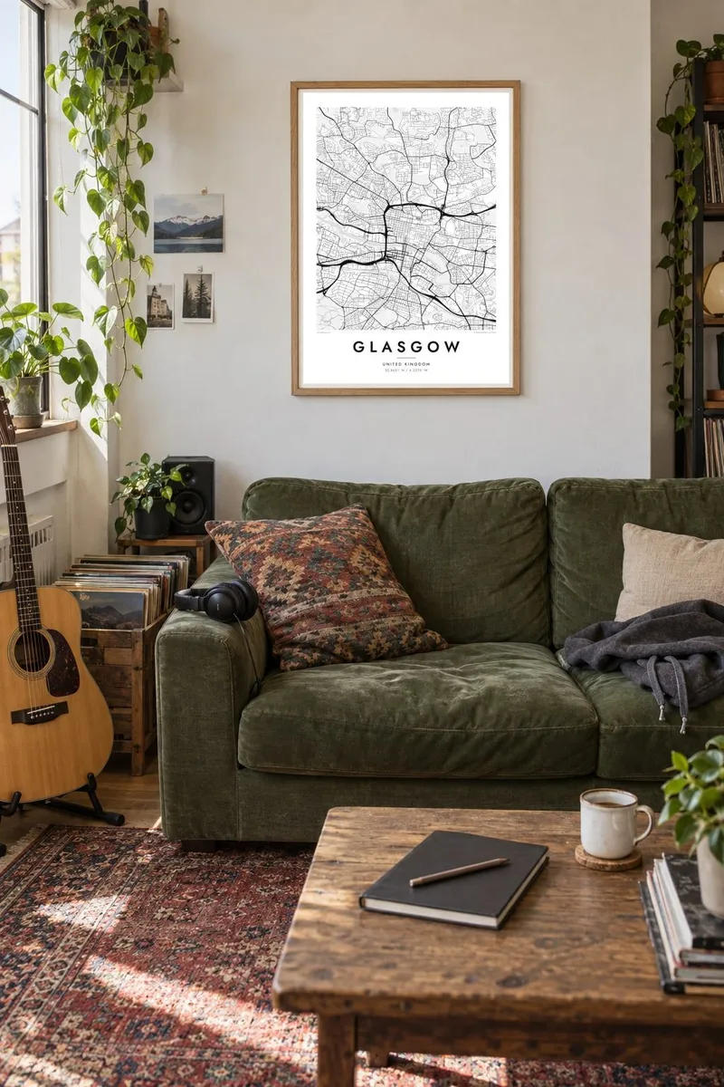
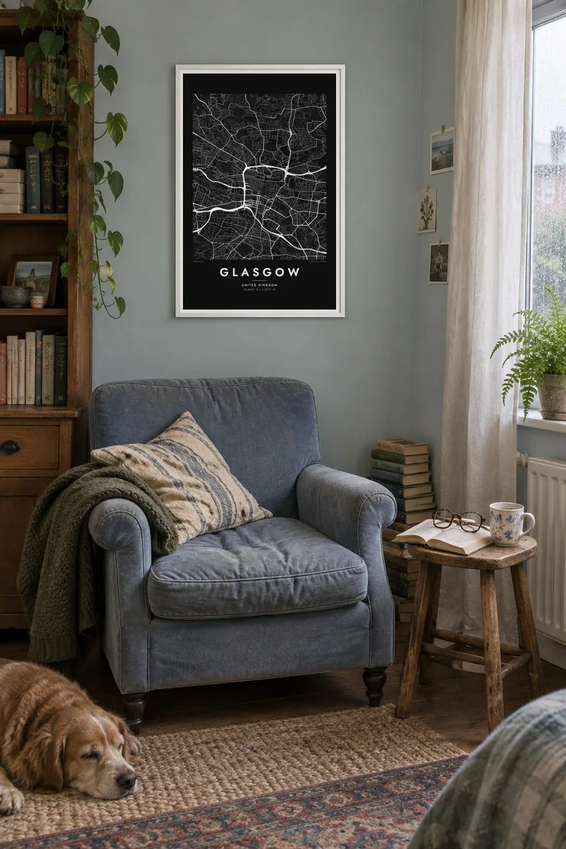
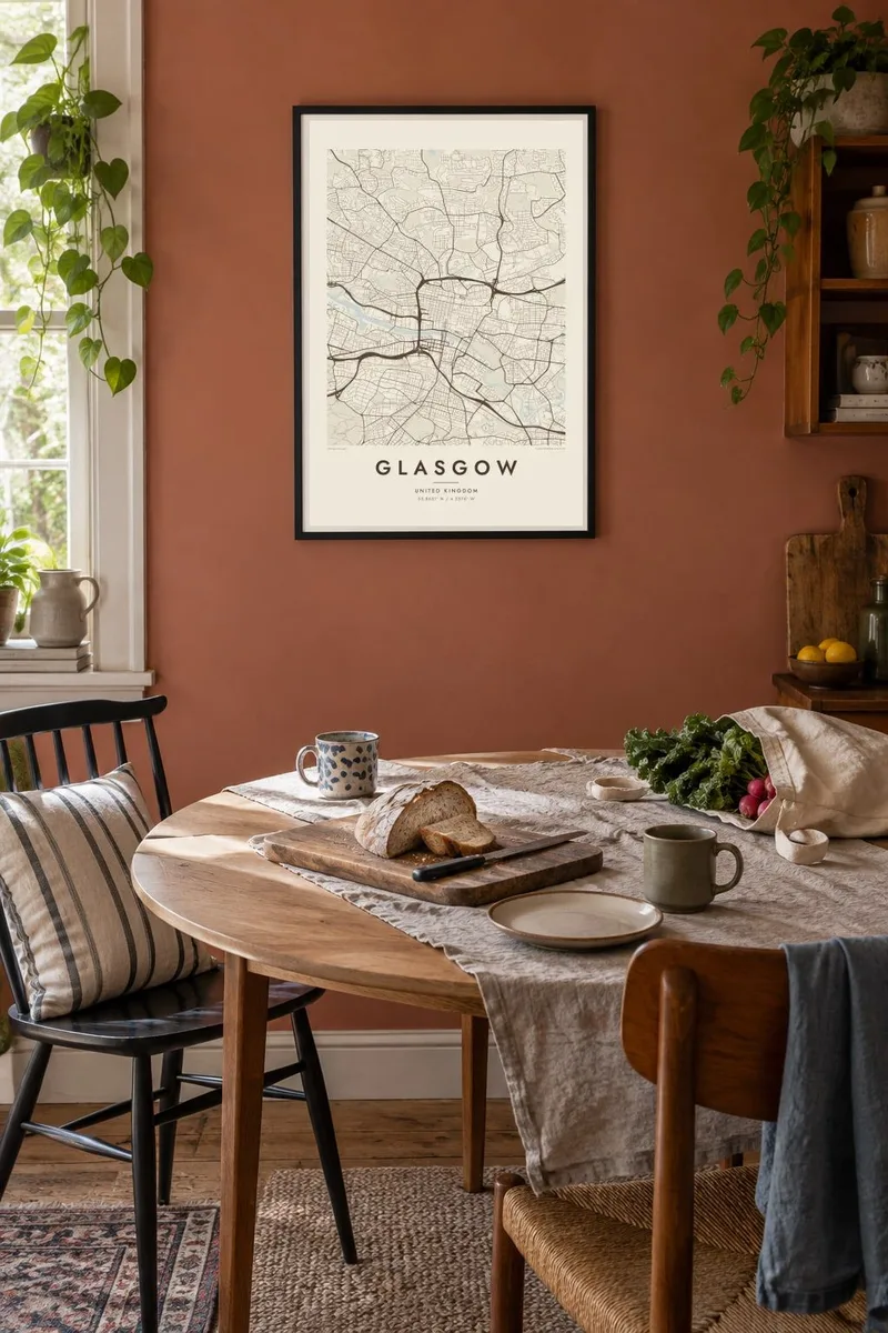
The map
Glasgow grew along the River Clyde, which winds through the city from east to west before widening toward the Firth. North of the river, the centre is laid out in a strict grid that climbs over drumlins, the small hills left by glaciers, which gives some streets famously steep slopes. The M8 motorway curves around the western and northern edges of the centre in a broad arc.
In the nineteenth century Glasgow was one of the great industrial cities of the British Empire, building ships on the Clyde and trading across the Atlantic. It is known for its Victorian architecture, the work of Charles Rennie Mackintosh and its underground. Opened in 1896, the subway is a single circular line and the third-oldest metro in the world.
A Glasgow map poster shows a city of clear contrasts: the dense grid of the centre and the Merchant City, the curving terraces of the West End, and the wide green spaces of Kelvingrove, Glasgow Green and Pollok Country Park. The Clyde runs through the middle, with bridges stitched across it, holding the composition together.
The city centre's grid of long straight streets runs up and down small glacial hills, so the map shows strict order laid over uneven ground.
In the West End, Kelvingrove Park follows the River Kelvin below the University of Glasgow, forming a green curve among crescents and terraces.
A long series of road, rail and foot bridges crosses the Clyde near the centre, creating a rhythm of short lines across the river's dark band.
Make it yours
Add a date, a name or a line of your own, switch style, size or orientation.
The free preview is low-resolution with a watermark. Prints and HD files are rendered at 300 DPI, up to 7,200 × 10,800 px, without a watermark.
Why Glasgow
Glasgow inspires strong loyalty, whether from lifelong residents, students who spent years in the West End or Glaswegians around the world. A map of its grid and river is a direct, unsentimental way to keep the city on the wall.
Choose the title, add a subtitle with a neighbourhood or a year, and edit the coordinates line. Five styles are available, from Classic black & white and Noir to Paper, Blueprint and Sand, as $9 HD files or as printed posters from partners in 30+ countries.
Order the Glasgow poster| Print size | Resolution | Files |
|---|---|---|
| 30 × 40 cm11.8 × 15.7″ | 3,543 × 4,724 px | PNG · PDF |
| 29.7 × 42 cm (A3)11.7 × 16.5″ | 3,508 × 4,961 px | PNG · PDF |
| 42 × 59.4 cm (A2)16.5 × 23.4″ | 4,961 × 7,016 px | PNG · PDF |
| 45.7 × 61 cm18 × 24″ | 5,400 × 7,200 px | PNG · PDF |
| 50 × 70 cm19.7 × 27.6″ | 5,906 × 8,268 px | PNG · PDF |
| 61 × 91.4 cm24 × 36″ | 7,200 × 10,800 px | PNG · PDF |
For comparison, the free preview is 900 px wide, watermarked and meant for screens. The HD files have up to 8× the resolution in each direction and print cleanly at full poster size.
Pick a style at the top of the page, then choose Printed Poster — a size and, if you like, a frame — or Digital HD Files. Checkout takes one step, and your order page updates as soon as the payment goes through.
It is printed on premium 200 gsm matte paper in one of six sizes, from 30 × 40 cm to 24 × 36″. Printed posters start at $39, shipping included.
Yes. Choose a solid wood frame in black, white, natural oak or dark wood. It comes with shatterproof glazing and is ready to hang. Framed posters start at $99, shipping included.
Shipping is free to 60+ countries. Each poster is printed by the nearest of our print partners in 30+ countries and usually arrives in 3–7 business days. You can follow the status and tracking under My Orders. A few countries take 2–5 weeks, and where we don't ship yet, the site tells you before you pay.
Send us a photo within 14 days of delivery and we will reprint it for free or refund you.
Yes. In the editor on this page, change the title, the subtitle and the coordinates line to anything you like, and pick a style and size. Printed, framed and digital orders all use exactly your design.
For $9 you get 300 DPI PNG and print-ready PDF files in all six sizes, without a watermark, to print anywhere. Not sure yet? Download a free watermarked preview first.
Nearby
