Kõpu peninsula
The long western cape narrows as it reaches into the sea. The old lighthouse stands on its high ground, and a single road runs out toward the tip.
Minimalist map poster · Estonia
58.8902° N / 22.5540° E
A low, forested island with a jagged northern peninsula and a long western cape, set in the shallow waters of the Baltic

One city, five moods
Tap a style to see it on the wall. Every style costs the same — printed, framed or as HD files.
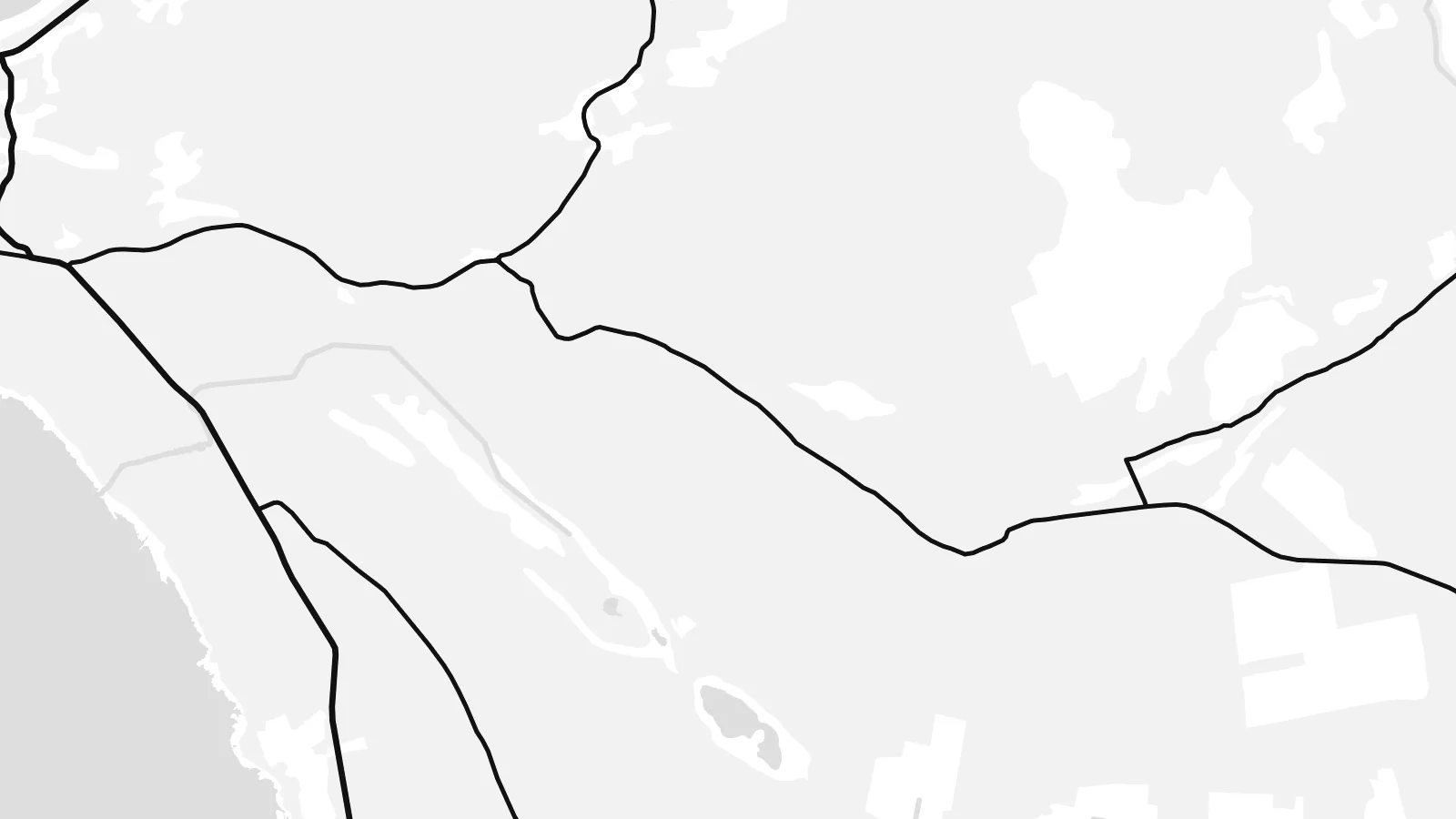 Actual pixels · 24 × 36″ print file
Print-sharp
This is a 100% crop of the real print file. Every poster — printed, framed or downloaded — is rendered on our servers at 300 DPI, up to 7,200 × 10,800 pixels, so even the smallest lanes stay crisp on a 24 × 36″ print.
On the wall


The island
Hiiumaa is Estonia's second-largest island, off the west coast of the mainland in the Baltic Sea. From above it has a roughly triangular body with two long extensions: the Tahkuna peninsula reaching north and the Kõpu peninsula stretching far to the west. Much of the land is forest and wetland, so the map is quiet, with a few roads linking small villages across wide open areas.
Kärdla, the main town, lies on the north coast and is small enough to show every street, with wide green spaces between the houses. Other roads link the ferry harbour at Heltermaa on the east coast to villages spread along the shore. The shallow coastal waters are scattered with low islets and reefs, especially on the southeast side, toward the neighbouring islands.
The Kõpu lighthouse stands on the Kõpu peninsula. It was first lit in the sixteenth century and is one of the oldest lighthouses in the world still in use. The land here has been rising slowly since the last ice age, which gradually reshapes the coastline. A Hiiumaa map poster shows an island defined by forests, capes and the open Baltic rather than by streets.
The long western cape narrows as it reaches into the sea. The old lighthouse stands on its high ground, and a single road runs out toward the tip.
A pointed peninsula reaches north from Kärdla. A few tracks cross its forest toward a lighthouse and the open shore at the tip.
The island's only town is loosely laid out along the north coast, with houses set among gardens and trees. On the map it forms a light, open pattern.
Make it yours
Add a date, a name or a line of your own, switch style, size or orientation.
The free preview is low-resolution with a watermark. Prints and HD files are rendered at 300 DPI, up to 7,200 × 10,800 px, without a watermark.
Why Hiiumaa
Hiiumaa suits people who spent summers in a family farmhouse there, and anyone who values its forests, lighthouses and quiet shores. With its two peninsulas and scattered islets, the outline is simple and distinctive on a wall.
You can add a title, a village name as the subtitle and a date, and adjust the coordinates line. Choose one of five styles, then download all six print sizes as 300 DPI PNG and PDF files for $9, without a watermark.
Order the Hiiumaa poster| Print size | Resolution | Files |
|---|---|---|
| 30 × 40 cm11.8 × 15.7″ | 3,543 × 4,724 px | PNG · PDF |
| 29.7 × 42 cm (A3)11.7 × 16.5″ | 3,508 × 4,961 px | PNG · PDF |
| 42 × 59.4 cm (A2)16.5 × 23.4″ | 4,961 × 7,016 px | PNG · PDF |
| 45.7 × 61 cm18 × 24″ | 5,400 × 7,200 px | PNG · PDF |
| 50 × 70 cm19.7 × 27.6″ | 5,906 × 8,268 px | PNG · PDF |
| 61 × 91.4 cm24 × 36″ | 7,200 × 10,800 px | PNG · PDF |
For comparison, the free preview is 900 px wide, watermarked and meant for screens. The HD files have up to 8× the resolution in each direction and print cleanly at full poster size.
Pick a style at the top of the page, then choose Printed Poster — a size and, if you like, a frame — or Digital HD Files. Checkout takes one step, and your order page updates as soon as the payment goes through.
It is printed on premium 200 gsm matte paper in one of six sizes, from 30 × 40 cm to 24 × 36″. Printed posters start at $39, shipping included.
Yes. Choose a solid wood frame in black, white, natural oak or dark wood. It comes with shatterproof glazing and is ready to hang. Framed posters start at $99, shipping included.
Shipping is free to 60+ countries. Each poster is printed by the nearest of our print partners in 30+ countries and usually arrives in 3–7 business days. You can follow the status and tracking under My Orders. A few countries take 2–5 weeks, and where we don't ship yet, the site tells you before you pay.
Send us a photo within 14 days of delivery and we will reprint it for free or refund you.
Yes. In the editor on this page, change the title, the subtitle and the coordinates line to anything you like, and pick a style and size. Printed, framed and digital orders all use exactly your design.
For $9 you get 300 DPI PNG and print-ready PDF files in all six sizes, without a watermark, to print anywhere. Not sure yet? Download a free watermarked preview first.
Nearby
