Western cliffs
The Atlantic side is steep and almost unbroken, including St John's Head, among the highest vertical sea cliffs in Britain, so the western edge of the map is hard and clean.
Minimalist map poster · United Kingdom
58.8520° N / 3.3026° W
A high, bare island on the edge of Scapa Flow, with sheer western cliffs and a low hooked tail to the south

One city, five moods
Tap a style to see it on the wall. Every style costs the same — printed, framed or as HD files.
 Actual pixels · 24 × 36″ print file
Print-sharp
This is a 100% crop of the real print file. Every poster — printed, framed or downloaded — is rendered on our servers at 300 DPI, up to 7,200 × 10,800 pixels, so even the smallest lanes stay crisp on a 24 × 36″ print.
On the wall

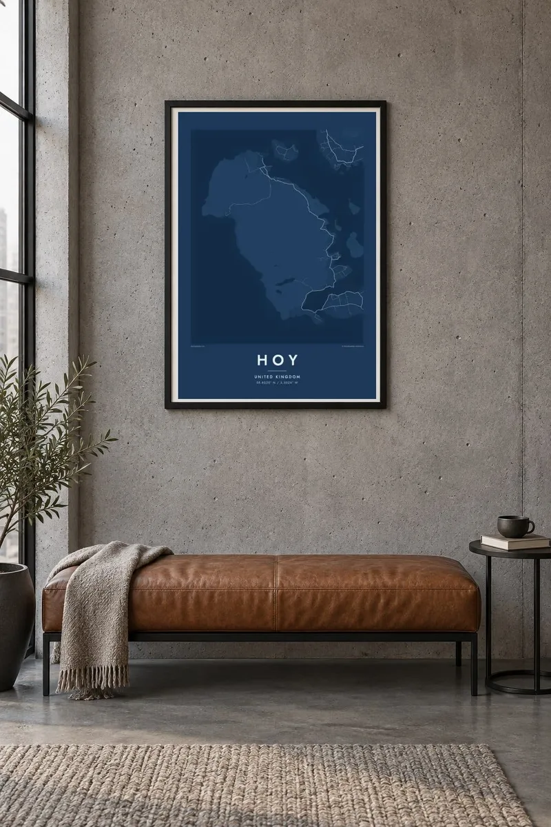
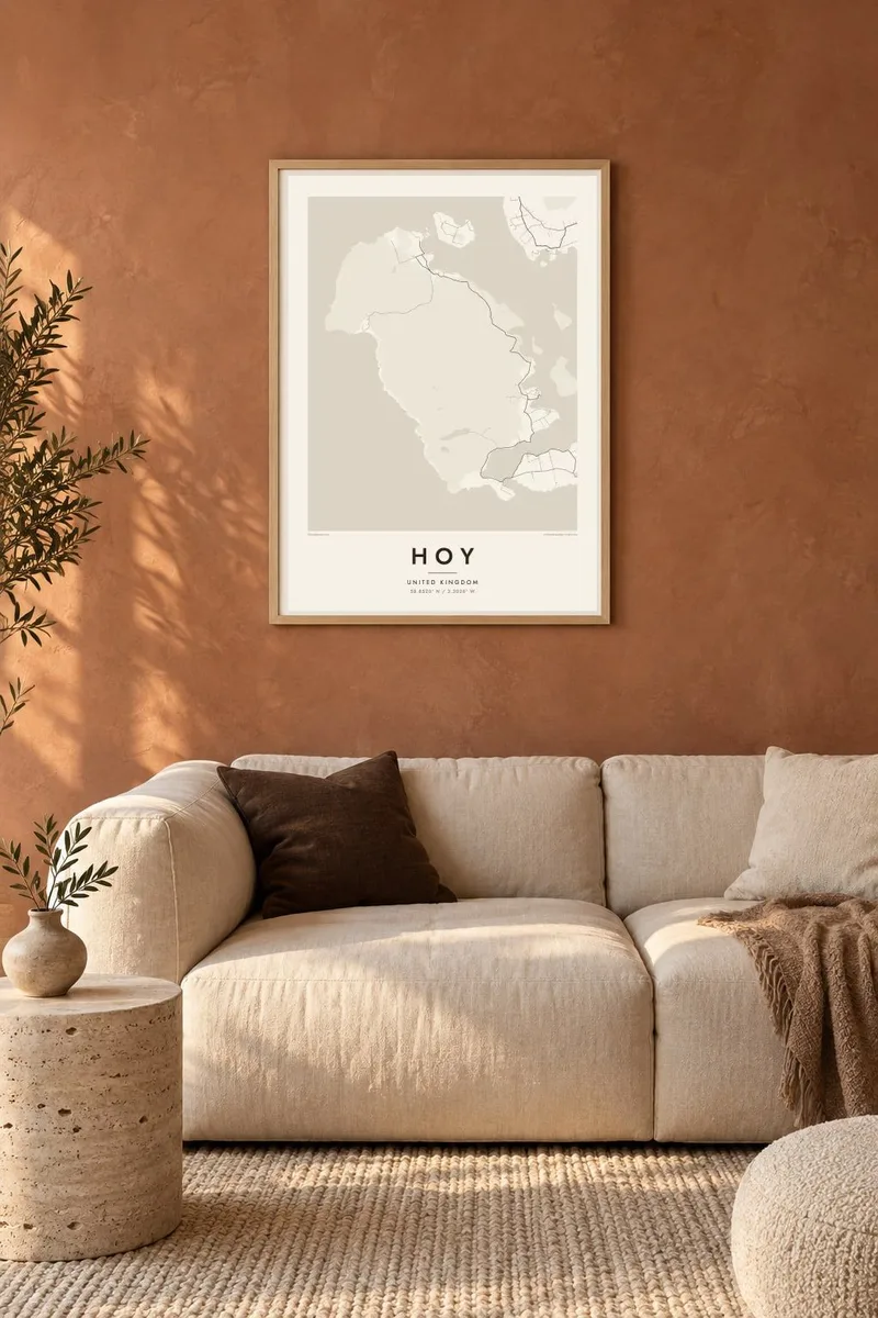
The island
Hoy is the second-largest island of Orkney, and its name comes from the Old Norse for high island. Unlike the gentle farmland of much of the archipelago, most of Hoy is moorland and hill, rising to the highest ground in Orkney. The west coast is a wall of cliffs facing the Atlantic, while the eastern shore slopes down to the sheltered waters of Scapa Flow.
Off the northwest coast stands the Old Man of Hoy, a tall sandstone sea stack and one of the best-known climbs in Britain. Near the south of the island, Lyness served as a naval base during the Second World War, when Scapa Flow sheltered the British fleet. In a northern valley lies the Dwarfie Stane, a tomb cut into a single huge block of sandstone.
A Hoy map poster is mostly open land and sparse lines: a thin road network along the east side, scattered farms, and the ragged edge of cliffs and bays. South Walls, joined to Hoy by a narrow strip of land, gives the shape a distinctive hooked tail. It is a quiet, austere print for anyone who loves the far north of Scotland.
The Atlantic side is steep and almost unbroken, including St John's Head, among the highest vertical sea cliffs in Britain, so the western edge of the map is hard and clean.
The eastern coast faces one of the great natural harbours of Europe, and its bays and piers mark where most of the island's settlement lies.
In the south a thin strip of land called the Ayre links Hoy to South Walls, so the outline ends in a small and very recognisable hook.
Make it yours
Add a date, a name or a line of your own, switch style, size or orientation.
The free preview is low-resolution with a watermark. Prints and HD files are rendered at 300 DPI, up to 7,200 × 10,800 px, without a watermark.
Why Hoy
Hoy draws climbers who have stood beneath the Old Man, walkers who have crossed to Rackwick, and people with Orkney roots scattered across the world. The spare map, dominated by open land and water, has a stillness that fits a study or a bedroom well.
Set the title to Hoy, Orkney or something more personal, add a date in the subtitle and keep or edit the coordinates. Noir and Paper tend to suit this northern landscape, though Classic black & white, Blueprint and Sand are available too, as HD files or printed posters.
Order the Hoy poster| Print size | Resolution | Files |
|---|---|---|
| 30 × 40 cm11.8 × 15.7″ | 3,543 × 4,724 px | PNG · PDF |
| 29.7 × 42 cm (A3)11.7 × 16.5″ | 3,508 × 4,961 px | PNG · PDF |
| 42 × 59.4 cm (A2)16.5 × 23.4″ | 4,961 × 7,016 px | PNG · PDF |
| 45.7 × 61 cm18 × 24″ | 5,400 × 7,200 px | PNG · PDF |
| 50 × 70 cm19.7 × 27.6″ | 5,906 × 8,268 px | PNG · PDF |
| 61 × 91.4 cm24 × 36″ | 7,200 × 10,800 px | PNG · PDF |
For comparison, the free preview is 900 px wide, watermarked and meant for screens. The HD files have up to 8× the resolution in each direction and print cleanly at full poster size.
Pick a style at the top of the page, then choose Printed Poster — a size and, if you like, a frame — or Digital HD Files. Checkout takes one step, and your order page updates as soon as the payment goes through.
It is printed on premium 200 gsm matte paper in one of six sizes, from 30 × 40 cm to 24 × 36″. Printed posters start at $39, shipping included.
Yes. Choose a solid wood frame in black, white, natural oak or dark wood. It comes with shatterproof glazing and is ready to hang. Framed posters start at $99, shipping included.
Shipping is free to 60+ countries. Each poster is printed by the nearest of our print partners in 30+ countries and usually arrives in 3–7 business days. You can follow the status and tracking under My Orders. A few countries take 2–5 weeks, and where we don't ship yet, the site tells you before you pay.
Send us a photo within 14 days of delivery and we will reprint it for free or refund you.
Yes. In the editor on this page, change the title, the subtitle and the coordinates line to anything you like, and pick a style and size. Printed, framed and digital orders all use exactly your design.
For $9 you get 300 DPI PNG and print-ready PDF files in all six sizes, without a watermark, to print anywhere. Not sure yet? Download a free watermarked preview first.
Nearby
