Amazon riverfront
The eastern edge of the city faces the Amazon's wide main channel and its islands. On the poster the river appears as broad pale bands that dwarf the street grid beside them.
Minimalist map poster · Peru
3.7481° S / 73.2529° W
A river city on the Amazon, surrounded by water on nearly every side and reached only by boat or plane.

One city, five moods
Tap a style to see it on the wall. Every style costs the same — printed, framed or as HD files.
 Actual pixels · 24 × 36″ print file
Print-sharp
This is a 100% crop of the real print file. Every poster — printed, framed or downloaded — is rendered on our servers at 300 DPI, up to 7,200 × 10,800 pixels, so even the smallest lanes stay crisp on a 24 × 36″ print.
On the wall

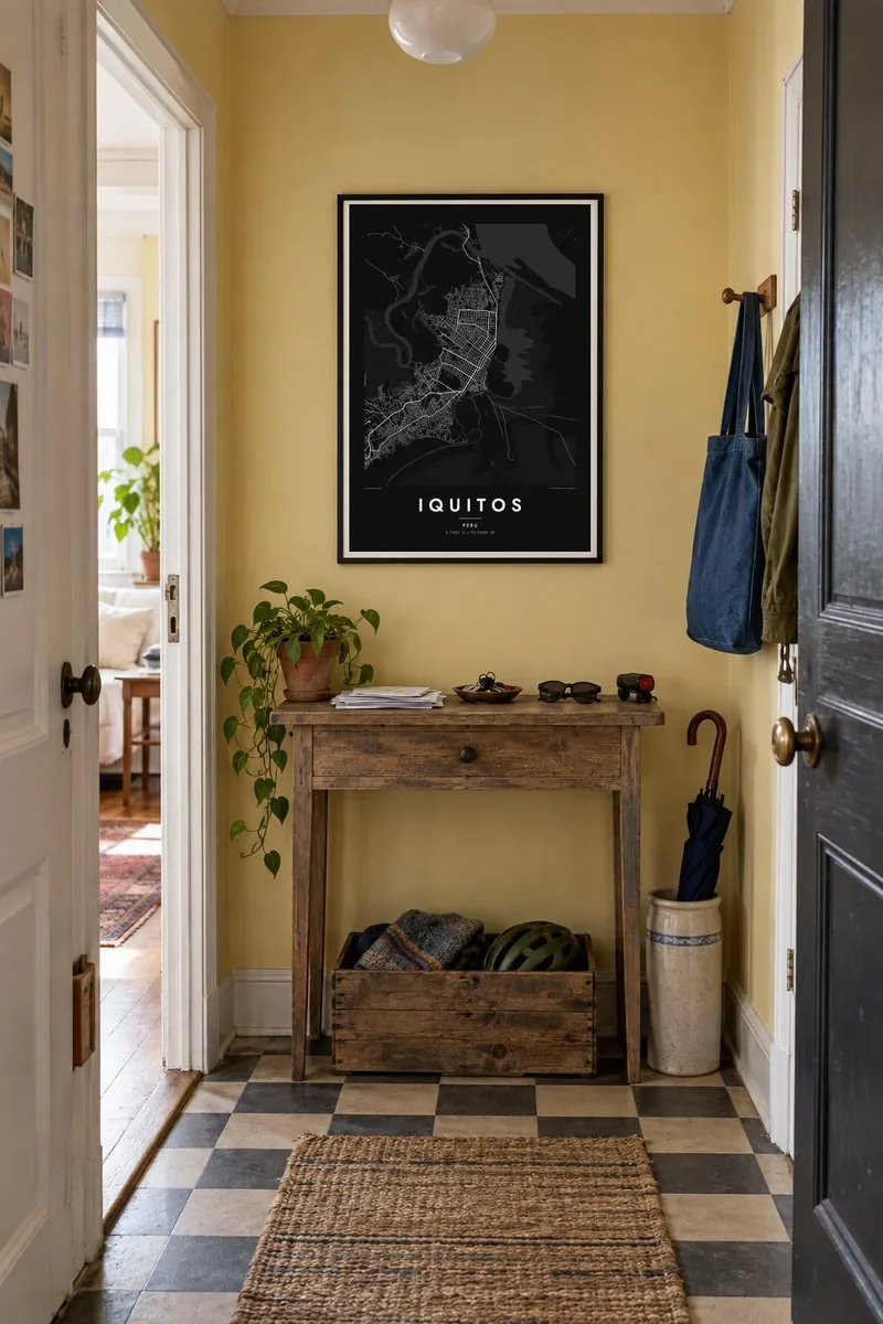

The map
Iquitos is often described as the largest city in the world that cannot be reached by road. It sits in the Peruvian Amazon where the Nanay and Itaya rivers approach the Amazon itself, and the map makes that isolation plain. The urban area is a compact landmass wrapped by channels, oxbows and floodplain, with only a short highway running inland toward Nauta.
The city grew quickly during the rubber boom of the late nineteenth and early twentieth centuries. The grid of the older centre near the riverfront still reflects that period. Along the Itaya, the Belén district includes houses on stilts and floating platforms that rise and fall with the river, so the line between street and water shifts through the year.
An Iquitos map poster is largely a portrait of water. The streets form a dense, fairly regular block pattern, but the eye goes to the rivers that frame it and the wide, winding Amazon beyond. In black and white, the curving channels and islands give the print an organic, almost botanical quality that few city maps have.
The eastern edge of the city faces the Amazon's wide main channel and its islands. On the poster the river appears as broad pale bands that dwarf the street grid beside them.
A low-lying district where many homes stand on stilts or float. Its streets thin out toward the water, and the boundary between land and river changes with the seasons.
To the north and west, the Nanay loops through forest and floodplain. It draws sweeping curves around the city and gives the composition a natural border.
Make it yours
Add a date, a name or a line of your own, switch style, size or orientation.
The free preview is low-resolution with a watermark. Prints and HD files are rendered at 300 DPI, up to 7,200 × 10,800 px, without a watermark.
Why Iquitos
Iquitos tends to mean something specific to the people who have been there: a research trip, a river expedition, family roots in Loreto. A map that shows the city held between rivers captures that sense of arrival. You can change the title, subtitle and coordinates line to add a name or a date.
The styles are Classic black & white, Noir, Paper, Blueprint and Sand. Noir makes the rivers stand out against a dark ground. Download the HD files for $9 in six print sizes, or order a printed poster on matte paper with an optional wooden frame, shipped from partners in over 30 countries.
Order the Iquitos poster| Print size | Resolution | Files |
|---|---|---|
| 30 × 40 cm11.8 × 15.7″ | 3,543 × 4,724 px | PNG · PDF |
| 29.7 × 42 cm (A3)11.7 × 16.5″ | 3,508 × 4,961 px | PNG · PDF |
| 42 × 59.4 cm (A2)16.5 × 23.4″ | 4,961 × 7,016 px | PNG · PDF |
| 45.7 × 61 cm18 × 24″ | 5,400 × 7,200 px | PNG · PDF |
| 50 × 70 cm19.7 × 27.6″ | 5,906 × 8,268 px | PNG · PDF |
| 61 × 91.4 cm24 × 36″ | 7,200 × 10,800 px | PNG · PDF |
For comparison, the free preview is 900 px wide, watermarked and meant for screens. The HD files have up to 8× the resolution in each direction and print cleanly at full poster size.
Pick a style at the top of the page, then choose Printed Poster — a size and, if you like, a frame — or Digital HD Files. Checkout takes one step, and your order page updates as soon as the payment goes through.
It is printed on premium 200 gsm matte paper in one of six sizes, from 30 × 40 cm to 24 × 36″. Printed posters start at $39, shipping included.
Yes. Choose a solid wood frame in black, white, natural oak or dark wood. It comes with shatterproof glazing and is ready to hang. Framed posters start at $99, shipping included.
Shipping is free to 60+ countries. Each poster is printed by the nearest of our print partners in 30+ countries and usually arrives in 3–7 business days. You can follow the status and tracking under My Orders. A few countries take 2–5 weeks, and where we don't ship yet, the site tells you before you pay.
Send us a photo within 14 days of delivery and we will reprint it for free or refund you.
Yes. In the editor on this page, change the title, the subtitle and the coordinates line to anything you like, and pick a style and size. Printed, framed and digital orders all use exactly your design.
For $9 you get 300 DPI PNG and print-ready PDF files in all six sizes, without a watermark, to print anywhere. Not sure yet? Download a free watermarked preview first.
Nearby
