Snake River
The river runs south through the valley in braided channels and wide bends, the most expressive line on the map and a clear divide between the town and the western slopes.
Minimalist map poster · United States
43.6088° N / 110.7380° W
A broad, flat valley along the Snake River, with the Teton Range rising abruptly along its western edge.

One city, five moods
Tap a style to see it on the wall. Every style costs the same — printed, framed or as HD files.
 Actual pixels · 24 × 36″ print file
Print-sharp
This is a 100% crop of the real print file. Every poster — printed, framed or downloaded — is rendered on our servers at 300 DPI, up to 7,200 × 10,800 pixels, so even the smallest lanes stay crisp on a 24 × 36″ print.
On the wall

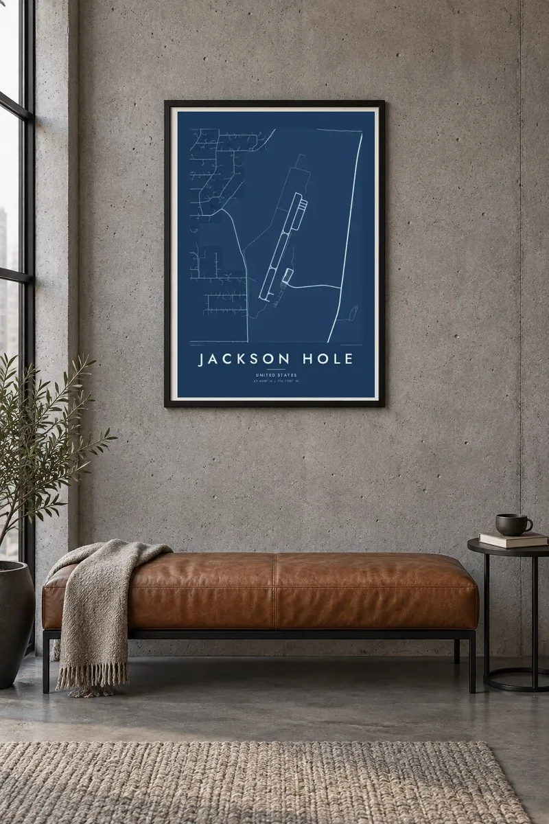

The resort
Jackson Hole is the name of the whole valley, not a single town, and the map is mostly open ground. The Snake River braids down its length, roads run in long straight lines across the sagebrush flats, and settlements appear as scattered clusters: the town of Jackson at the southern end, and Teton Village at the foot of the ski mountain on the valley's western side.
Early trappers called any high, enclosed mountain valley a hole, and this one took its name from the trapper David Jackson. Much of it is protected, with Grand Teton National Park to the north and the National Elk Refuge beside the town, where thousands of elk spend the winter. The Tetons rise sharply from the valley floor with no foothills in between.
A Jackson Hole map poster is a study in scale: a small town grid, a single resort village and the winding river, set against wide empty land that stands in for meadow, refuge and mountain. The result is spare and quiet, closer to a landscape drawing than to an ordinary street map.
The river runs south through the valley in braided channels and wide bends, the most expressive line on the map and a clear divide between the town and the western slopes.
At the southern end of the valley, Jackson forms a small grid around its town square, where arches built from shed elk antlers stand at each corner.
The resort village at the base of Jackson Hole Mountain Resort sits against the Tetons on the valley's western side, known for its aerial tram and steep terrain.
Make it yours
Add a date, a name or a line of your own, switch style, size or orientation.
The free preview is low-resolution with a watermark. Prints and HD files are rendered at 300 DPI, up to 7,200 × 10,800 px, without a watermark.
Why Jackson Hole
Jackson Hole leaves a strong impression, whether the visit was for skiing, a summer in the national parks or a drive through toward Yellowstone. A valley map suits that open, expansive feeling, and it looks particularly good in the larger formats.
Change the title and subtitle, point the coordinates line at a cabin, a trailhead or the resort, and select Classic black & white, Noir, Paper, Blueprint or Sand. Digital files arrive as a 300 DPI PNG and a print-ready PDF, without watermark, for $9.
Order the Jackson Hole poster| Print size | Resolution | Files |
|---|---|---|
| 30 × 40 cm11.8 × 15.7″ | 3,543 × 4,724 px | PNG · PDF |
| 29.7 × 42 cm (A3)11.7 × 16.5″ | 3,508 × 4,961 px | PNG · PDF |
| 42 × 59.4 cm (A2)16.5 × 23.4″ | 4,961 × 7,016 px | PNG · PDF |
| 45.7 × 61 cm18 × 24″ | 5,400 × 7,200 px | PNG · PDF |
| 50 × 70 cm19.7 × 27.6″ | 5,906 × 8,268 px | PNG · PDF |
| 61 × 91.4 cm24 × 36″ | 7,200 × 10,800 px | PNG · PDF |
For comparison, the free preview is 900 px wide, watermarked and meant for screens. The HD files have up to 8× the resolution in each direction and print cleanly at full poster size.
Pick a style at the top of the page, then choose Printed Poster — a size and, if you like, a frame — or Digital HD Files. Checkout takes one step, and your order page updates as soon as the payment goes through.
It is printed on premium 200 gsm matte paper in one of six sizes, from 30 × 40 cm to 24 × 36″. Printed posters start at $39, shipping included.
Yes. Choose a solid wood frame in black, white, natural oak or dark wood. It comes with shatterproof glazing and is ready to hang. Framed posters start at $99, shipping included.
Shipping is free to 60+ countries. Each poster is printed by the nearest of our print partners in 30+ countries and usually arrives in 3–7 business days. You can follow the status and tracking under My Orders. A few countries take 2–5 weeks, and where we don't ship yet, the site tells you before you pay.
Send us a photo within 14 days of delivery and we will reprint it for free or refund you.
Yes. In the editor on this page, change the title, the subtitle and the coordinates line to anything you like, and pick a style and size. Printed, framed and digital orders all use exactly your design.
For $9 you get 300 DPI PNG and print-ready PDF files in all six sizes, without a watermark, to print anywhere. Not sure yet? Download a free watermarked preview first.
Nearby
