Wilhelmshöher Allee
A straight axis several kilometres long that links the city centre with the hillside palace park, one of the clearest single lines on the whole map.
Minimalist map poster · Germany
51.3167° N / 9.5000° E
A river city on the Fulda, with a rebuilt centre, a long riverside park and a hillside palace park to the west.

One city, five moods
Tap a style to see it on the wall. Every style costs the same — printed, framed or as HD files.
 Actual pixels · 24 × 36″ print file
Print-sharp
This is a 100% crop of the real print file. Every poster — printed, framed or downloaded — is rendered on our servers at 300 DPI, up to 7,200 × 10,800 pixels, so even the smallest lanes stay crisp on a 24 × 36″ print.
On the wall


The map
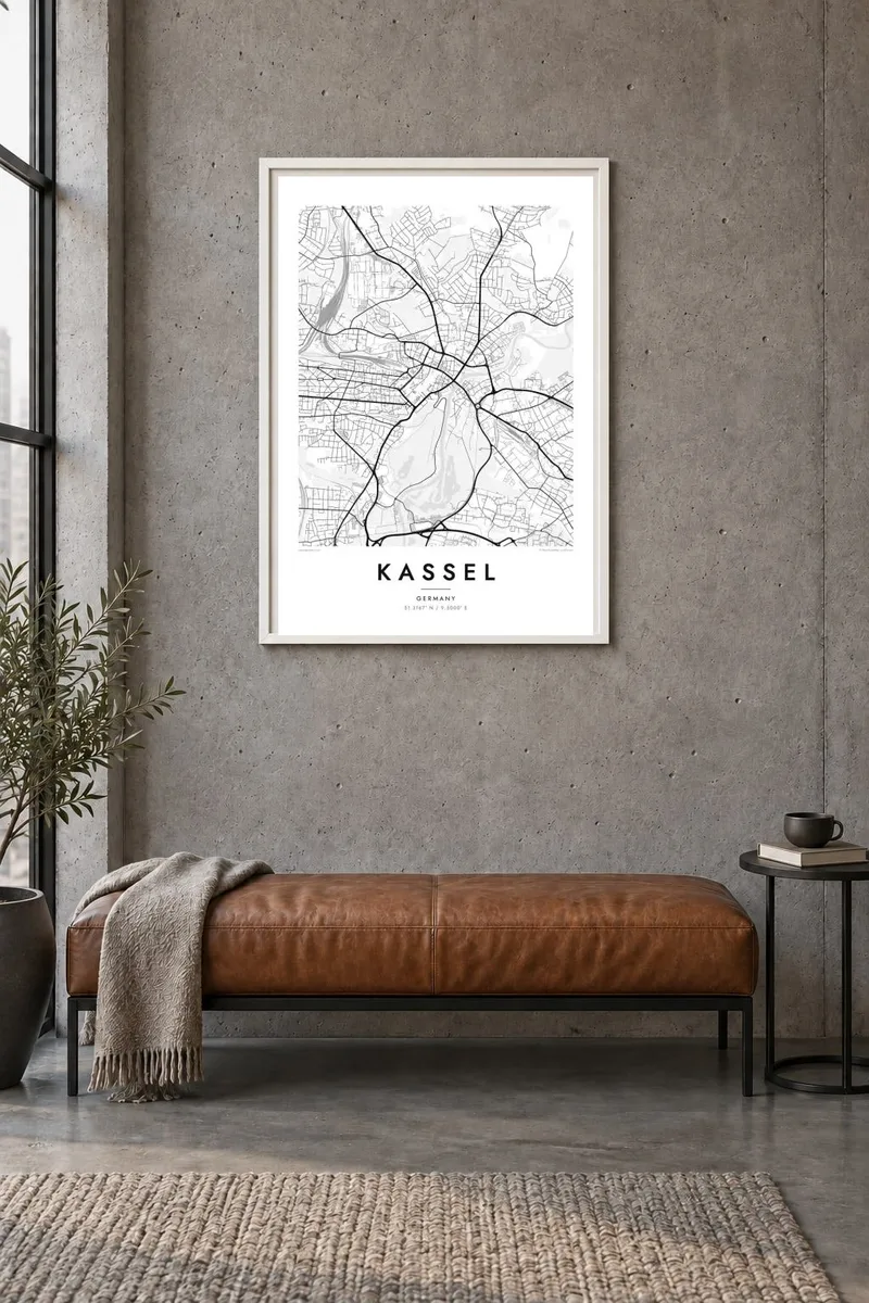
Kassel sits in northern Hesse where the Fulda River turns through a wide valley. On a map the river runs along the eastern edge of the centre, with the formal Karlsaue park stretched out along its left bank. The streets west of the river climb gradually toward wooded hills, and the whole city is set against higher ground on its western side.
The old centre was heavily destroyed in the Second World War and rebuilt with wider streets and open spaces. The Treppenstraße, a stepped pedestrian street from the early 1950s, is often cited as one of Germany's first purpose-built pedestrian zones. A Kassel map poster shows this post-war layout clearly: broad avenues, compact blocks, and a centre that opens toward the river.
The long Wilhelmshöher Allee runs straight west from the centre to the Bergpark Wilhelmshöhe, a UNESCO World Heritage site. There the Hercules monument stands at the top of a steep slope, with cascades running down toward the palace. Kassel is also known for documenta, the contemporary art exhibition held every five years, and for the Brothers Grimm, who lived and worked in the city.
A straight axis several kilometres long that links the city centre with the hillside palace park, one of the clearest single lines on the whole map.
A large baroque park laid out along the river, with long avenues, ponds and an orangery. On paper it forms a broad green rectangle beside the water.
A mountainside park on the western edge of the city. Its winding paths and the line of cascades below the Hercules monument stand out clearly against the denser grid below.
Make it yours
Add a date, a name or a line of your own, switch style, size or orientation.
The free preview is low-resolution with a watermark. Prints and HD files are rendered at 300 DPI, up to 7,200 × 10,800 px, without a watermark.
Why Kassel
For people who studied, worked or grew up in Kassel, the map holds familiar things: the walk along the Fulda, the long avenue west, the climb toward Hercules. It also suits anyone who has visited documenta and wants something more lasting than a catalogue.
Add your own title, a subtitle such as a year or a neighbourhood, and the coordinates line. Then choose one of five styles, from Classic black and white to Noir, Paper, Blueprint or Sand, to suit the room it will hang in.
Order the Kassel poster| Print size | Resolution | Files |
|---|---|---|
| 30 × 40 cm11.8 × 15.7″ | 3,543 × 4,724 px | PNG · PDF |
| 29.7 × 42 cm (A3)11.7 × 16.5″ | 3,508 × 4,961 px | PNG · PDF |
| 42 × 59.4 cm (A2)16.5 × 23.4″ | 4,961 × 7,016 px | PNG · PDF |
| 45.7 × 61 cm18 × 24″ | 5,400 × 7,200 px | PNG · PDF |
| 50 × 70 cm19.7 × 27.6″ | 5,906 × 8,268 px | PNG · PDF |
| 61 × 91.4 cm24 × 36″ | 7,200 × 10,800 px | PNG · PDF |
For comparison, the free preview is 900 px wide, watermarked and meant for screens. The HD files have up to 8× the resolution in each direction and print cleanly at full poster size.
Pick a style at the top of the page, then choose Printed Poster — a size and, if you like, a frame — or Digital HD Files. Checkout takes one step, and your order page updates as soon as the payment goes through.
It is printed on premium 200 gsm matte paper in one of six sizes, from 30 × 40 cm to 24 × 36″. Printed posters start at $39, shipping included.
Yes. Choose a solid wood frame in black, white, natural oak or dark wood. It comes with shatterproof glazing and is ready to hang. Framed posters start at $99, shipping included.
Shipping is free to 60+ countries. Each poster is printed by the nearest of our print partners in 30+ countries and usually arrives in 3–7 business days. You can follow the status and tracking under My Orders. A few countries take 2–5 weeks, and where we don't ship yet, the site tells you before you pay.
Send us a photo within 14 days of delivery and we will reprint it for free or refund you.
Yes. In the editor on this page, change the title, the subtitle and the coordinates line to anything you like, and pick a style and size. Printed, framed and digital orders all use exactly your design.
For $9 you get 300 DPI PNG and print-ready PDF files in all six sizes, without a watermark, to print anywhere. Not sure yet? Download a free watermarked preview first.
Nearby
