Hilly terrain
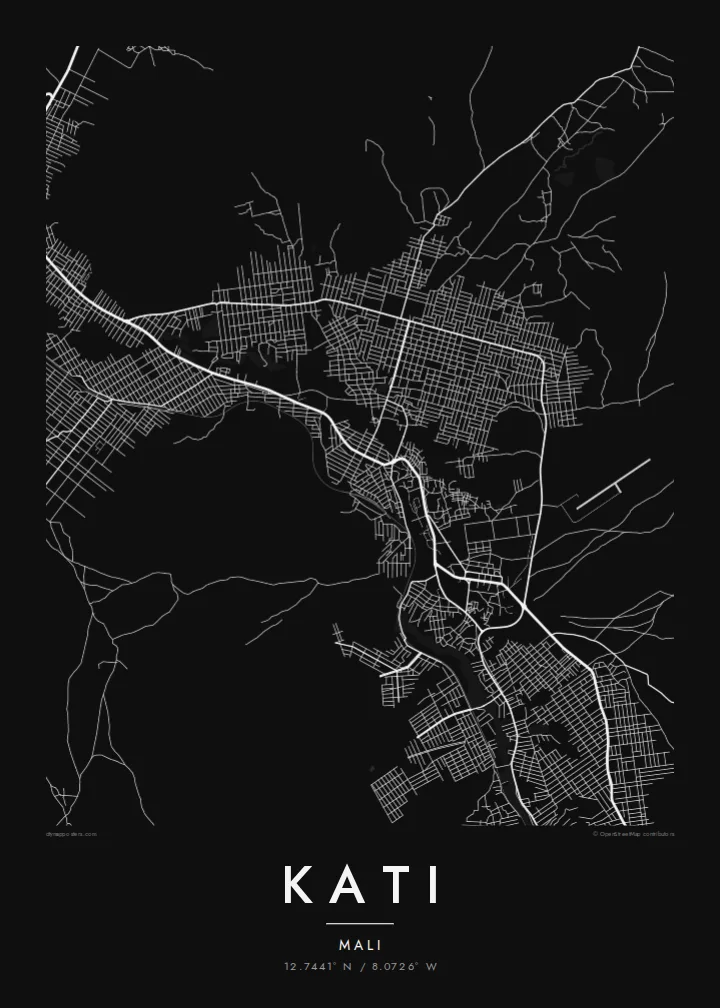
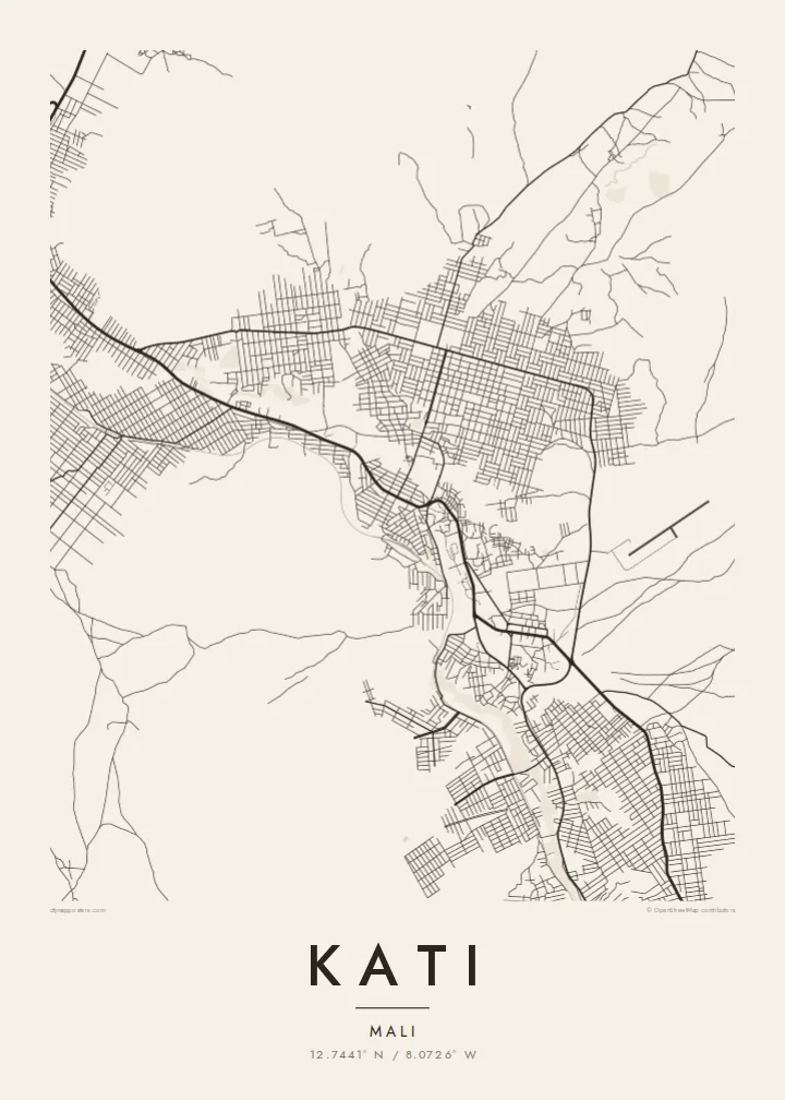
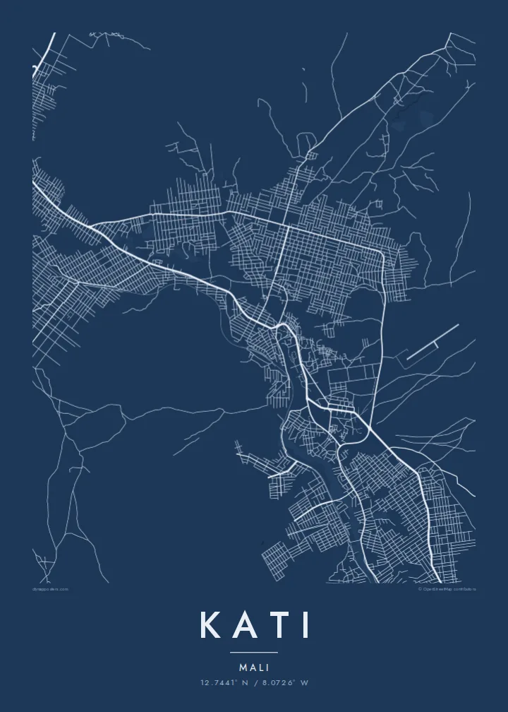
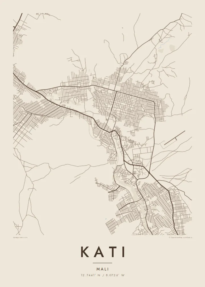
Kati sits among rocky hills above the Niger valley. On the poster, streets bend around the high ground and leave open spaces where slopes are steep.
Minimalist map poster · Mali
A hill town just northwest of Bamako, its streets spread across rocky slopes and cut by the old railway line.
12.7441° N / 8.0726° W

One city, five moods
Tap a style to see it on the wall. Every style is included in the same $9 price.
 Actual pixels · 24 × 36″ HD file
Print-sharp
This is a crop of the real HD file at 100%. The paid download is rendered on our servers at 300 DPI, up to 7,200 × 10,800 pixels, so even the smallest lanes stay crisp on a 24 × 36″ print.
The map
Kati lies about fifteen kilometres northwest of Bamako, on the higher ground above the Niger valley. From above, the town spreads across rocky hills and plateaus, and the street pattern follows the terrain, with denser blocks in the lower areas and scattered roads on the slopes. The railway from Bamako toward Dakar passes through the town, drawing a long line across the map.
Kati is the administrative centre of the surrounding cercle and is home to Mali's main military camp, which has made it a significant town in the country's recent history. Its proximity to Bamako means many residents commute to the capital, and the road between the two towns is one of the busiest in the region.
A Kati map poster shows a town shaped by its hills: roads winding around high ground, open spaces where the terrain is too steep to build, and the straight line of the railway crossing through. It is a distinctive composition for a place closely tied to the capital yet clearly separate from it.
Kati sits among rocky hills above the Niger valley. On the poster, streets bend around the high ground and leave open spaces where slopes are steep.
The historic line toward Dakar passes through the town, drawing a long straight stroke across the map.
The main road heads southeast toward the capital, linking the two towns and forming a clear axis on the map.
Make it yours
Add a date, a name or a line of your own, switch style, size or orientation.
Free preview is low-resolution with a watermark. The HD version is 7,200 × 10,800 px, 300 DPI, no watermark.
Why Kati
Kati is home to many families and military personnel with ties across Mali and abroad. A map of the town is a personal way to remember a posting, a childhood or a family house on the hills above Bamako.
Choose a style (Classic black & white, Noir, Paper, Blueprint or Sand) and personalise the title, subtitle and coordinates, perhaps with a name or a year. A free 900 px preview is available, and the HD files are $9.
Get the Kati poster — $9| Print size | Resolution | Files |
|---|---|---|
| 30 × 40 cm | 3,543 × 4,724 px | PNG · PDF |
| 50 × 70 cm | 5,906 × 8,268 px | PNG · PDF |
| A3 · 29.7 × 42 cm | 3,508 × 4,961 px | PNG · PDF |
| A2 · 42 × 59.4 cm | 4,961 × 7,016 px | PNG · PDF |
| 18 × 24" | 5,400 × 7,200 px | PNG · PDF |
| 24 × 36" | 7,200 × 10,800 px | PNG · PDF |
For comparison, the free preview is 900 px wide, watermarked and meant for screens. The HD files have up to 8× the resolution in each direction and print cleanly at full poster size.
Yes. Drag and zoom the map in the editor — centre it on your neighbourhood, the old town or the whole metro area. The text updates independently.
The HD purchase includes 30×40 cm, 50×70 cm, A3, A2, 18×24″ and 24×36″, each as a 300 DPI PNG and a print-ready PDF.
You can download a free 900 px preview with a watermark. The paid HD files have no watermark and are sharp enough for large prints.
Send the PDF to any local print shop or online printing service and ask for the matching paper size. Matte paper and a thin black or oak frame suit this style best.
Nearby
