National road
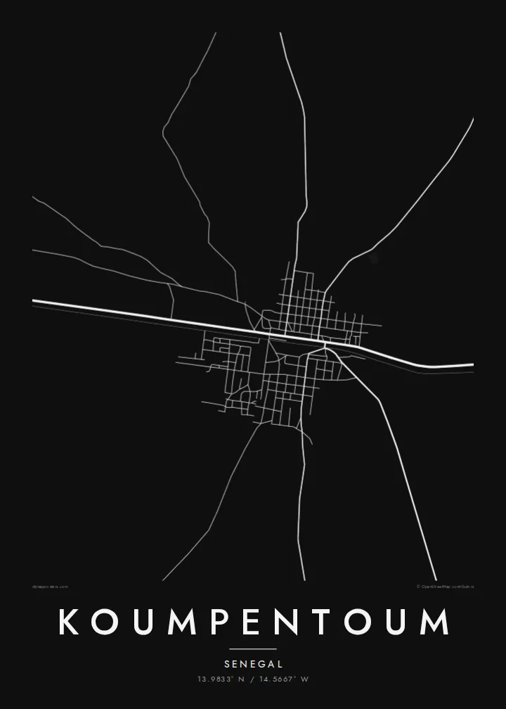
The main highway from the west runs straight through town toward Tambacounda, forming the strongest line on the map and the axis along which the town has grown.
Minimalist map poster · Senegal
A small Senegalese crossroads town strung along the national road and railway, with open savanna on every side.
13.9833° N / 14.5667° W


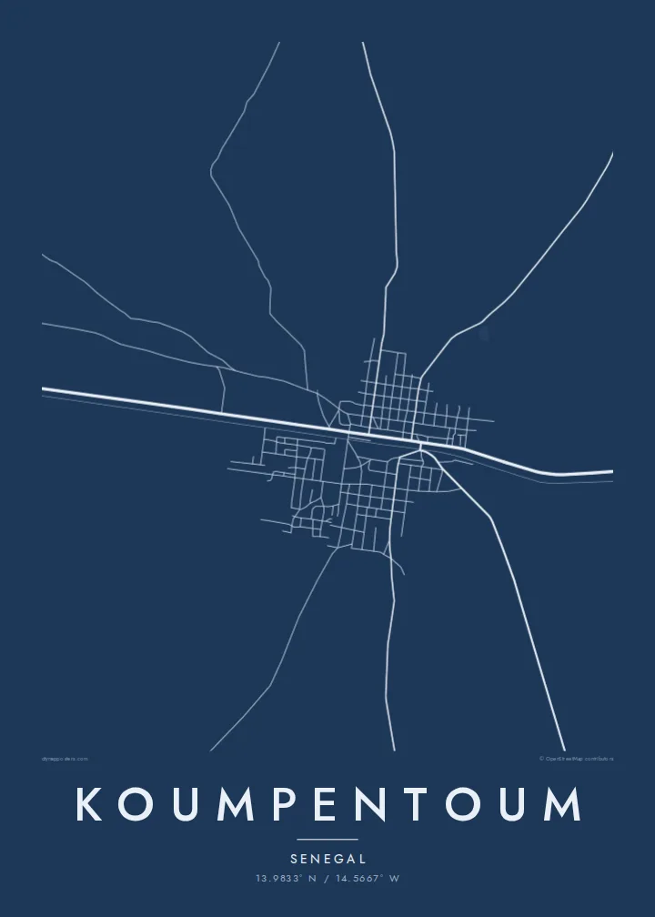

One city, five moods
Tap a style to see it on the wall. Every style is included in the same $9 price.
 Actual pixels · 24 × 36″ HD file
Print-sharp
This is a crop of the real HD file at 100%. The paid download is rendered on our servers at 300 DPI, up to 7,200 × 10,800 pixels, so even the smallest lanes stay crisp on a 24 × 36″ print.
The map
Koumpentoum lies in eastern Senegal, in the Tambacounda region, in the dry savanna country of the interior. Seen from above, it is a compact town with a denser centre and a looser pattern of sandy streets, compounds and fields around it. There are no coastlines or major rivers here, so the map is defined instead by its roads and by the texture of the settlement itself.
The town sits on the main route running east from the coast toward Tambacounda, and the old Dakar–Niger railway passes through as well. Those two long lines, road and rail, cross the whole frame and give the composition its structure. Koumpentoum is also the seat of its own department, serving a wide farming area around it.
A Koumpentoum map poster is a study in simplicity: a few strong lines, a scatter of blocks and a great deal of open space. That space is worth keeping, so a wider framing tends to work better than a tight crop. Sand feels natural for the setting, while Classic black & white brings out the geometry of the roads.
The main highway from the west runs straight through town toward Tambacounda, forming the strongest line on the map and the axis along which the town has grown.
The historic Dakar–Niger railway crosses the area on its long route inland, a thin, steady line running close to the road through the town.
Beyond the centre, streets thin out into tracks and fields, so the map softens gradually into open land rather than ending at a sharp boundary.
Make it yours
Add a date, a name or a line of your own, switch style, size or orientation.
Free preview is low-resolution with a watermark. The HD version is 7,200 × 10,800 px, 300 DPI, no watermark.
Why Koumpentoum
For someone from Koumpentoum living in Dakar, Europe or further away, a map of the town is a direct link to home: the road everyone travelled, the neighbourhoods, the familiar distances. It is a personal object rather than a tourist image, and the design keeps it that way.
Set a title in your own words, add a family name or a date, and choose Classic black & white, Noir, Paper, Blueprint or Sand. Download the HD files for $9, or order a matte print, with or without a wooden frame, shipped from a partner in one of 30+ countries.
Get the Koumpentoum poster — $9| Print size | Resolution | Files |
|---|---|---|
| 30 × 40 cm (11.8 × 15.7″) | 3,543 × 4,724 px | PNG · PDF |
| 50 × 70 cm (19.7 × 27.6″) | 5,906 × 8,268 px | PNG · PDF |
| 29.7 × 42 cm (A3, 11.7 × 16.5″) | 3,508 × 4,961 px | PNG · PDF |
| 42 × 59.4 cm (A2, 16.5 × 23.4″) | 4,961 × 7,016 px | PNG · PDF |
| 45.7 × 61 cm (18 × 24″) | 5,400 × 7,200 px | PNG · PDF |
| 61 × 91.4 cm (24 × 36″) | 7,200 × 10,800 px | PNG · PDF |
For comparison, the free preview is 900 px wide, watermarked and meant for screens. The HD files have up to 8× the resolution in each direction and print cleanly at full poster size.
Yes. Drag and zoom the map in the editor — centre it on your neighbourhood, the old town or the whole metro area. The text updates independently.
The HD purchase includes 30×40 cm, 50×70 cm, A3, A2, 18×24″ and 24×36″, each as a 300 DPI PNG and a print-ready PDF.
You can download a free 900 px preview with a watermark. The paid HD files have no watermark and are sharp enough for large prints.
Send the PDF to any local print shop or online printing service and ask for the matching paper size. Matte paper and a thin black or oak frame suit this style best.
Nearby
