River valley
The Kazennyi Torets river runs through the city. Its valley shapes where the streets, parks and industrial sites along its banks are placed.
Minimalist map poster · Ukraine
48.7311° N / 37.5678° E
An industrial city of the Donbas, laid out along a river valley with large works and long residential avenues.

One city, five moods
Tap a style to see it on the wall. Every style costs the same — printed, framed or as HD files.
 Actual pixels · 24 × 36″ print file
Print-sharp
This is a 100% crop of the real print file. Every poster — printed, framed or downloaded — is rendered on our servers at 300 DPI, up to 7,200 × 10,800 pixels, so even the smallest lanes stay crisp on a 24 × 36″ print.
On the wall
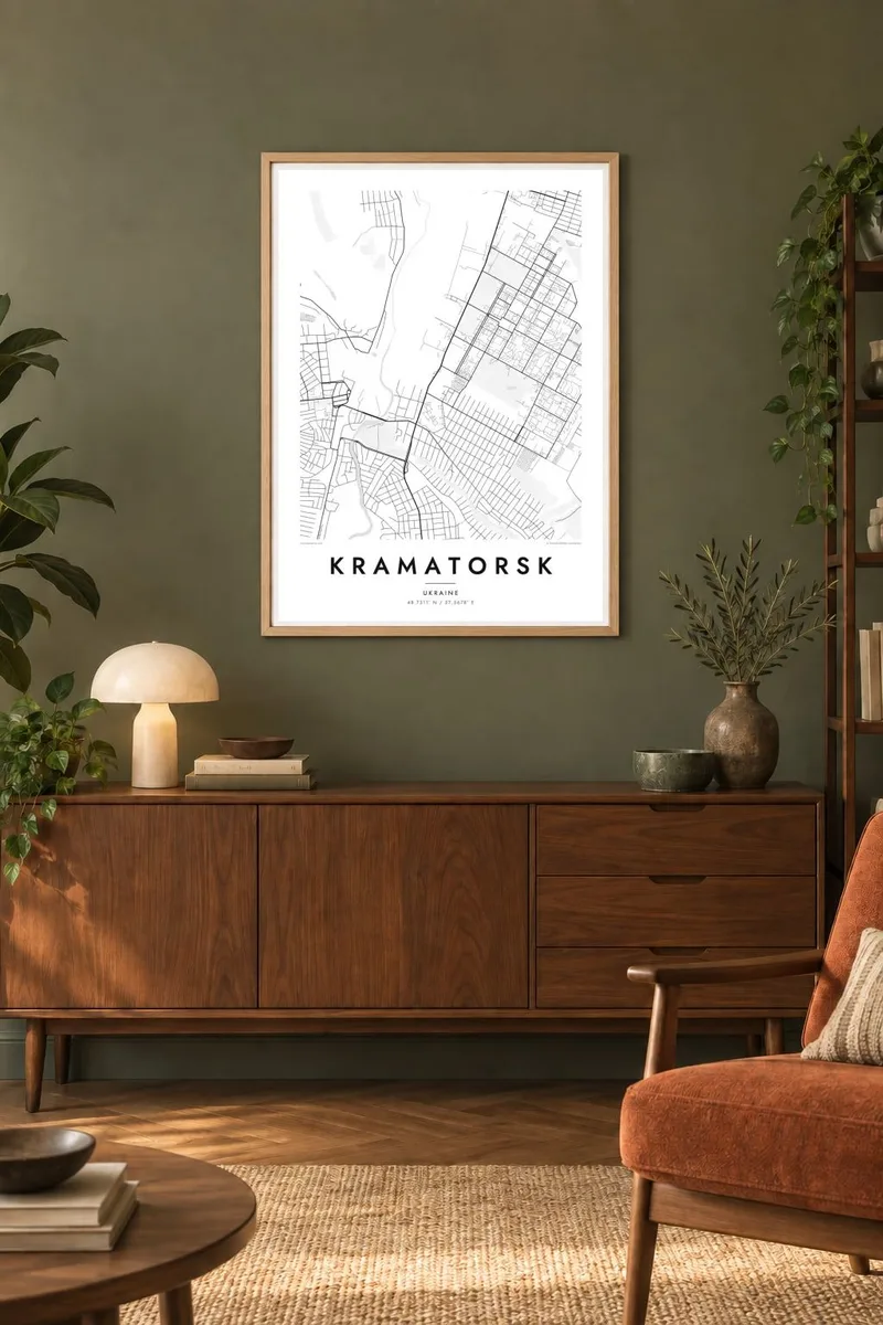


The map
Kramatorsk lies in the north of Donetsk region in eastern Ukraine, in the valley of the Kazennyi Torets river. It grew up around a railway station in the late nineteenth century and became a major centre of heavy machine building. From above, large factory sites sit beside wide avenues and residential districts, with the river winding between them.
The war has affected Kramatorsk deeply since 2014. In 2022 an attack on its railway station killed many civilians who were waiting to leave. The city remains an important administrative centre for the region. Its map records the place as people know it: the plants, the parks, the centre and the neighbourhoods around them.
Many people choose a Kramatorsk map poster as a keepsake, a way to keep the city's streets close, whether they live elsewhere now or stayed. It shows the valley, the long avenues and the industrial districts clearly and without embellishment, a calm record of a city that matters to many people.
The Kazennyi Torets river runs through the city. Its valley shapes where the streets, parks and industrial sites along its banks are placed.
Large machine-building plants occupy big sites within the city. They appear as broad blocks with internal roads and rail sidings among the residential areas.
The city grew around a railway station, and the tracks remain a strong line on the map, linking Kramatorsk with neighbouring towns of the Donbas.
Make it yours
Add a date, a name or a line of your own, switch style, size or orientation.
The free preview is low-resolution with a watermark. Prints and HD files are rendered at 300 DPI, up to 7,200 × 10,800 px, without a watermark.
Why Kramatorsk
For many people from Kramatorsk, a map is a way to keep home present when life has moved elsewhere. It shows the familiar streets as a single calm image that suits a wall at home or a thoughtful gift.
Add a title and subtitle, such as a family name, a street or a date, and edit the coordinates line. Choose from five styles, including Paper and Noir, and download the HD files for $9 or order a printed poster from partners in 30+ countries.
Order the Kramatorsk poster| Print size | Resolution | Files |
|---|---|---|
| 30 × 40 cm11.8 × 15.7″ | 3,543 × 4,724 px | PNG · PDF |
| 29.7 × 42 cm (A3)11.7 × 16.5″ | 3,508 × 4,961 px | PNG · PDF |
| 42 × 59.4 cm (A2)16.5 × 23.4″ | 4,961 × 7,016 px | PNG · PDF |
| 45.7 × 61 cm18 × 24″ | 5,400 × 7,200 px | PNG · PDF |
| 50 × 70 cm19.7 × 27.6″ | 5,906 × 8,268 px | PNG · PDF |
| 61 × 91.4 cm24 × 36″ | 7,200 × 10,800 px | PNG · PDF |
For comparison, the free preview is 900 px wide, watermarked and meant for screens. The HD files have up to 8× the resolution in each direction and print cleanly at full poster size.
Pick a style at the top of the page, then choose Printed Poster — a size and, if you like, a frame — or Digital HD Files. Checkout takes one step, and your order page updates as soon as the payment goes through.
It is printed on premium 200 gsm matte paper in one of six sizes, from 30 × 40 cm to 24 × 36″. Printed posters start at $39, shipping included.
Yes. Choose a solid wood frame in black, white, natural oak or dark wood. It comes with shatterproof glazing and is ready to hang. Framed posters start at $99, shipping included.
Shipping is free to 60+ countries. Each poster is printed by the nearest of our print partners in 30+ countries and usually arrives in 3–7 business days. You can follow the status and tracking under My Orders. A few countries take 2–5 weeks, and where we don't ship yet, the site tells you before you pay.
Send us a photo within 14 days of delivery and we will reprint it for free or refund you.
Yes. In the editor on this page, change the title, the subtitle and the coordinates line to anything you like, and pick a style and size. Printed, framed and digital orders all use exactly your design.
For $9 you get 300 DPI PNG and print-ready PDF files in all six sizes, without a watermark, to print anywhere. Not sure yet? Download a free watermarked preview first.
Nearby
