Open street pattern
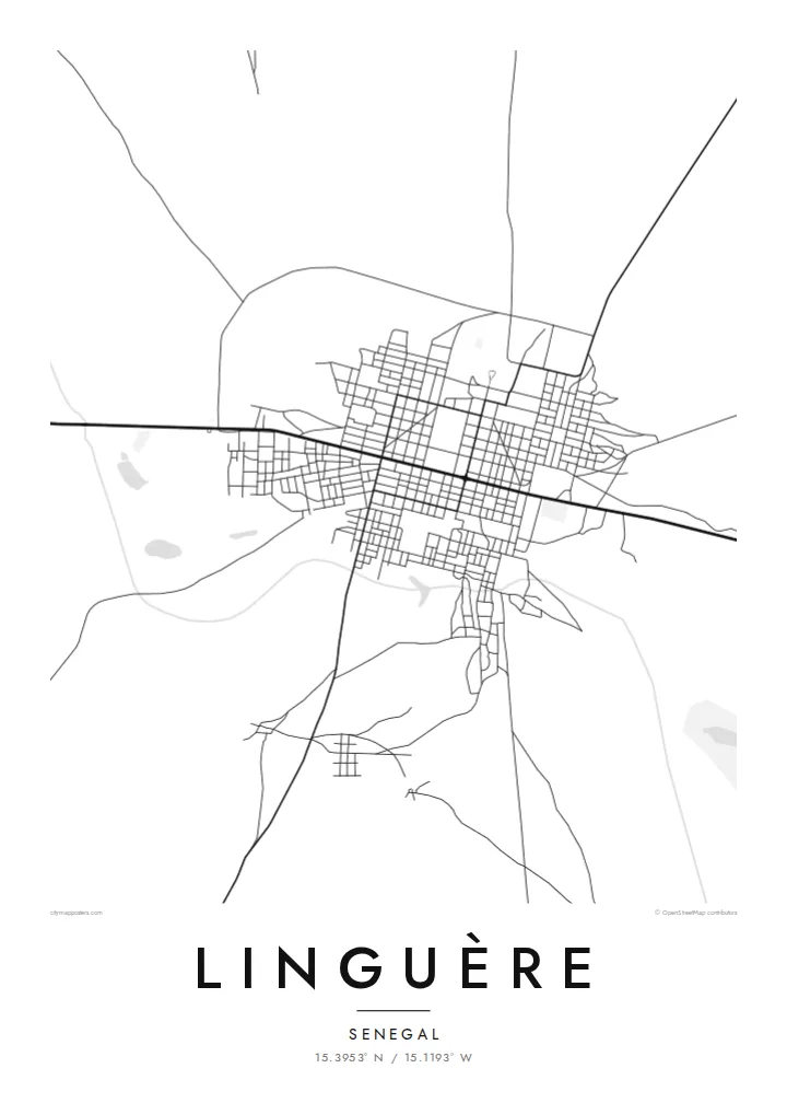
The blocks are large and the streets wide, so the town looks airy on the poster, a light network of lines instead of a dense mass.
Minimalist map poster · Senegal
15.3953° N / 15.1193° W
A town on the Sahelian plains of the Ferlo, its streets spread thinly across open ground with tracks leading out in every direction.
One city, five moods
Tap a style to see it on the wall. Every style costs the same — printed, framed or as HD files.
 Actual pixels · 24 × 36″ print file
Print-sharp
This is a 100% crop of the real print file. Every poster — printed, framed or downloaded — is rendered on our servers at 300 DPI, up to 7,200 × 10,800 pixels, so even the smallest lanes stay crisp on a 24 × 36″ print.
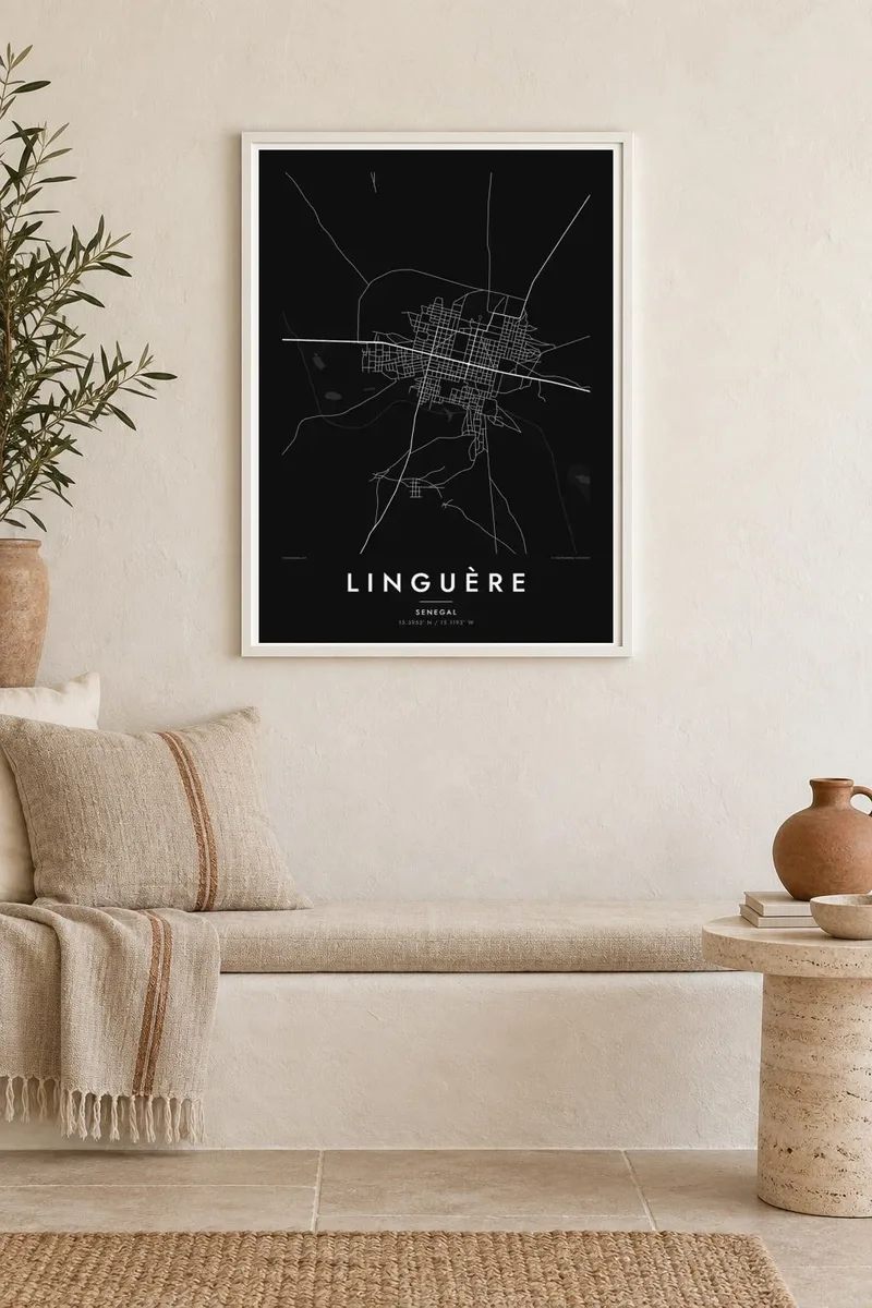
On the wall


The map
Linguère is the capital of a department in Louga region, in the interior of northern Senegal. It sits on the edge of the Ferlo, a broad semi-arid area of grassland and scattered trees where herding has long been central to life. On a map the town looks spacious and loosely built, with wide streets, generous blocks and plenty of open ground between them.
Roads and sandy tracks lead out of town toward villages and grazing areas. They are drawn as long, slightly wandering lines across an otherwise empty field. The area has historical ties to the Jolof kingdom, one of the major states of precolonial Senegambia, and Linguère remains a reference point for the Djolof region today.
Linguère was once the end of a railway branch running inland from Louga, part of the colonial-era rail network. Today the town is defined more by space than by any single structure. A Linguère map poster shows exactly that: a compact core of streets in a landscape that stretches away in every direction.
The blocks are large and the streets wide, so the town looks airy on the poster, a light network of lines instead of a dense mass.
Paths and roads lead out across the semi-arid plain and thin into faint lines, connecting the town with villages and pastures beyond the frame.
The built area ends gradually, with houses and compounds scattered into open land. On the map this creates a soft outline instead of a hard boundary.
Make it yours
Add a date, a name or a line of your own, switch style, size or orientation.
The free preview is low-resolution with a watermark. Prints and HD files are rendered at 300 DPI, up to 7,200 × 10,800 px, without a watermark.
Why Linguère
For families from the Djolof, and for Senegalese people living in Dakar, France or elsewhere, a map of Linguère is a quiet link to home. Its open layout also makes an unusually calm, graphic poster that works well in minimal interiors.
Personalise the title and subtitle in French, Wolof or English, and choose Classic black & white, Noir, Paper, Blueprint or Sand. The $9 download includes all six print sizes. Printed and framed posters are available through partners in 30+ countries.
Order the Linguère poster| Print size | Resolution | Files |
|---|---|---|
| 30 × 40 cm11.8 × 15.7″ | 3,543 × 4,724 px | PNG · PDF |
| 29.7 × 42 cm (A3)11.7 × 16.5″ | 3,508 × 4,961 px | PNG · PDF |
| 42 × 59.4 cm (A2)16.5 × 23.4″ | 4,961 × 7,016 px | PNG · PDF |
| 45.7 × 61 cm18 × 24″ | 5,400 × 7,200 px | PNG · PDF |
| 50 × 70 cm19.7 × 27.6″ | 5,906 × 8,268 px | PNG · PDF |
| 61 × 91.4 cm24 × 36″ | 7,200 × 10,800 px | PNG · PDF |
For comparison, the free preview is 900 px wide, watermarked and meant for screens. The HD files have up to 8× the resolution in each direction and print cleanly at full poster size.
Pick a style at the top of the page, then choose Printed Poster — a size and, if you like, a frame — or Digital HD Files. Checkout takes one step, and your order page updates as soon as the payment goes through.
It is printed on premium 200 gsm matte paper in one of six sizes, from 30 × 40 cm to 24 × 36″. Printed posters start at $39, shipping included.
Yes. Choose a solid wood frame in black, white, natural oak or dark wood. It comes with shatterproof glazing and is ready to hang. Framed posters start at $99, shipping included.
Shipping is free to 60+ countries. Each poster is printed by the nearest of our print partners in 30+ countries and usually arrives in 3–7 business days. You can follow the status and tracking under My Orders. A few countries take 2–5 weeks, and where we don't ship yet, the site tells you before you pay.
Send us a photo within 14 days of delivery and we will reprint it for free or refund you.
Yes. In the editor on this page, change the title, the subtitle and the coordinates line to anything you like, and pick a style and size. Printed, framed and digital orders all use exactly your design.
For $9 you get 300 DPI PNG and print-ready PDF files in all six sizes, without a watermark, to print anywhere. Not sure yet? Download a free watermarked preview first.
Nearby
