The 1811 grid
The regular pattern of streets and avenues covering most of the island. Its strict lines give the poster a strong, architectural rhythm.
Minimalist map poster · United States
40.7834° N / 73.9663° W
A narrow island ruled by the 1811 grid, cut by Broadway's diagonal and centred on the long rectangle of Central Park.

One city, five moods
Tap a style to see it on the wall. Every style costs the same — printed, framed or as HD files.
 Actual pixels · 24 × 36″ print file
Print-sharp
This is a 100% crop of the real print file. Every poster — printed, framed or downloaded — is rendered on our servers at 300 DPI, up to 7,200 × 10,800 pixels, so even the smallest lanes stay crisp on a 24 × 36″ print.
On the wall
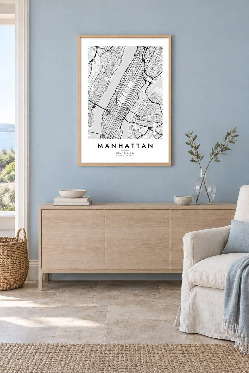
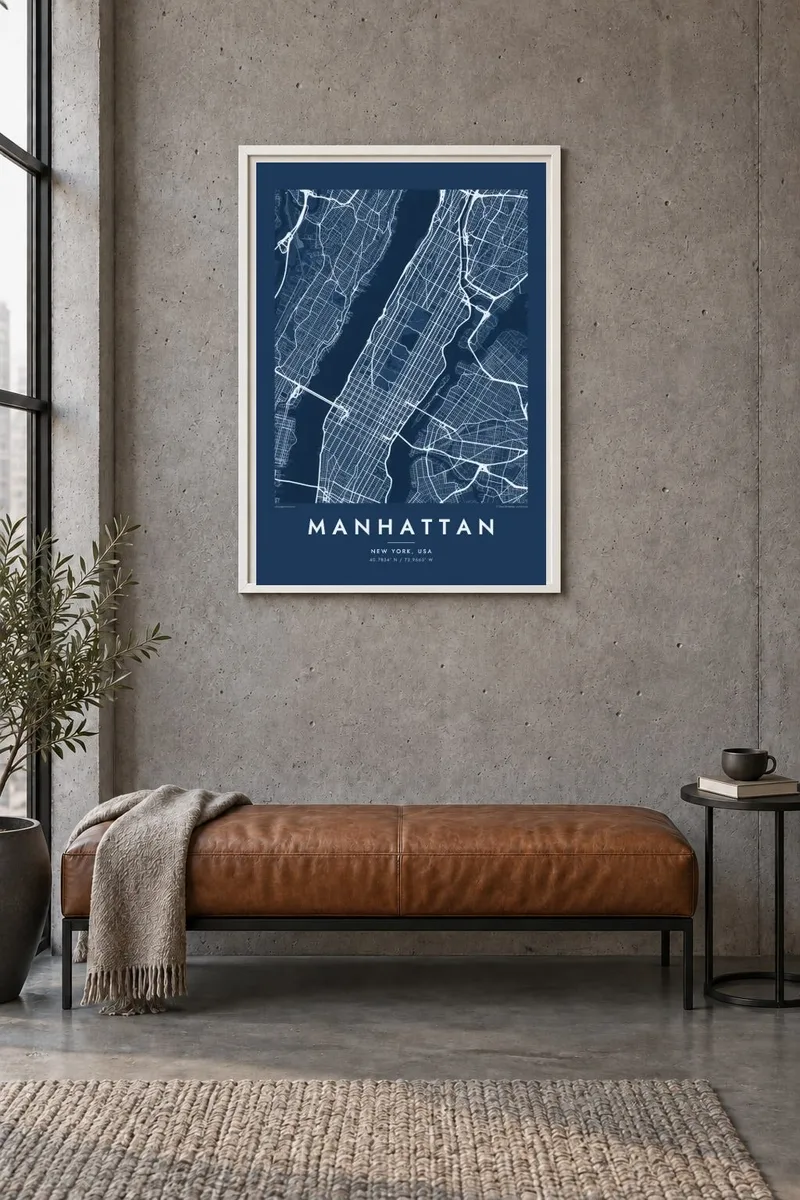
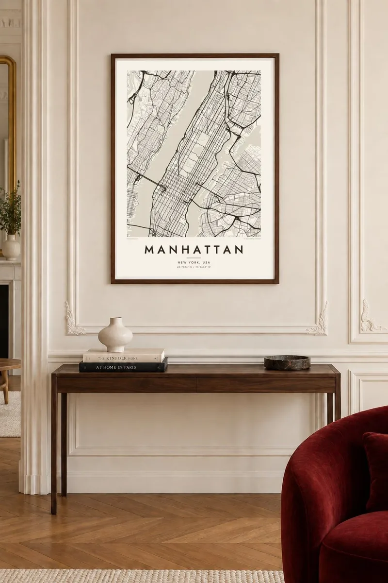
The map
Manhattan's map is one of the most recognisable in the world. Most of the island follows the grid set out in the Commissioners' Plan of 1811, with numbered streets running crosstown and avenues running the length of the island. Broadway breaks that order with a long diagonal, creating squares and triangles where it crosses the avenues, from Union Square to Times Square.
At the southern tip, the older streets of Lower Manhattan keep the irregular pattern of the colonial town. Central Park, a long rectangle of 843 acres, interrupts the grid in the middle of the island. The Hudson River to the west, the East River to the east and the Harlem River to the north enclose everything, crossed by well-known bridges and tunnels.
A Manhattan map poster turns all that density into a surprisingly calm image. The regular grid, the single diagonal of Broadway, the open space of the park and the edges of water produce a composition that is graphic, balanced and immediately familiar, whether it hangs in a New York apartment or far away.
The regular pattern of streets and avenues covering most of the island. Its strict lines give the poster a strong, architectural rhythm.
The long street that cuts across the grid at an angle for much of the island, creating squares and plazas at its crossings.
A long rectangle of open land in the middle of the island, sharply outlined by the grid. On the map it becomes a striking empty space.
Make it yours
Add a date, a name or a line of your own, switch style, size or orientation.
The free preview is low-resolution with a watermark. Prints and HD files are rendered at 300 DPI, up to 7,200 × 10,800 px, without a watermark.
Why Manhattan
Few places carry as many personal stories as Manhattan: a first apartment, a proposal in the park, a job in a particular tower. A map poster of the island holds those memories in a design that works just as well as a piece of graphic art.
Personalise the title and subtitle with a neighbourhood, a name or a date, and adjust the coordinates line. Choose from Classic black & white, Noir, Paper, Blueprint or Sand. HD files in six sizes, including 24×36″, cost $9, and printed posters are available framed or unframed.
Order the Manhattan poster| Print size | Resolution | Files |
|---|---|---|
| 30 × 40 cm11.8 × 15.7″ | 3,543 × 4,724 px | PNG · PDF |
| 29.7 × 42 cm (A3)11.7 × 16.5″ | 3,508 × 4,961 px | PNG · PDF |
| 42 × 59.4 cm (A2)16.5 × 23.4″ | 4,961 × 7,016 px | PNG · PDF |
| 45.7 × 61 cm18 × 24″ | 5,400 × 7,200 px | PNG · PDF |
| 50 × 70 cm19.7 × 27.6″ | 5,906 × 8,268 px | PNG · PDF |
| 61 × 91.4 cm24 × 36″ | 7,200 × 10,800 px | PNG · PDF |
For comparison, the free preview is 900 px wide, watermarked and meant for screens. The HD files have up to 8× the resolution in each direction and print cleanly at full poster size.
Pick a style at the top of the page, then choose Printed Poster — a size and, if you like, a frame — or Digital HD Files. Checkout takes one step, and your order page updates as soon as the payment goes through.
It is printed on premium 200 gsm matte paper in one of six sizes, from 30 × 40 cm to 24 × 36″. Printed posters start at $39, shipping included.
Yes. Choose a solid wood frame in black, white, natural oak or dark wood. It comes with shatterproof glazing and is ready to hang. Framed posters start at $99, shipping included.
Shipping is free to 60+ countries. Each poster is printed by the nearest of our print partners in 30+ countries and usually arrives in 3–7 business days. You can follow the status and tracking under My Orders. A few countries take 2–5 weeks, and where we don't ship yet, the site tells you before you pay.
Send us a photo within 14 days of delivery and we will reprint it for free or refund you.
Yes. In the editor on this page, change the title, the subtitle and the coordinates line to anything you like, and pick a style and size. Printed, framed and digital orders all use exactly your design.
For $9 you get 300 DPI PNG and print-ready PDF files in all six sizes, without a watermark, to print anywhere. Not sure yet? Download a free watermarked preview first.
Nearby
