Paseo de la Reforma
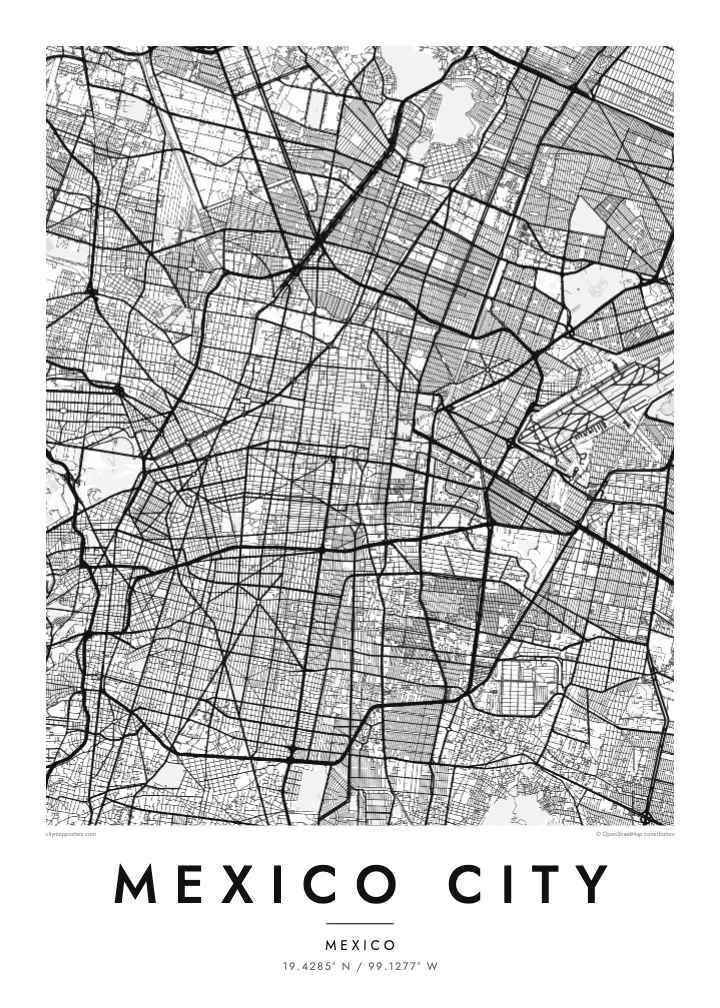
A broad avenue running diagonally from the edge of the centre to Chapultepec and beyond, punctuated by roundabouts and monuments, and one of the strongest lines on the map.
Minimalist map poster · Mexico
19.4285° N / 99.1277° W
A high valley city built on a drained lakebed, crossed by the long diagonal of Paseo de la Reforma
One city, five moods
Tap a style to see it on the wall. Every style costs the same — printed, framed or as HD files.
 Actual pixels · 24 × 36″ print file
Print-sharp
This is a 100% crop of the real print file. Every poster — printed, framed or downloaded — is rendered on our servers at 300 DPI, up to 7,200 × 10,800 pixels, so even the smallest lanes stay crisp on a 24 × 36″ print.
On the wall


The map
Mexico City sits in a high basin at about 2,240 metres, ringed by mountains and volcanoes. Much of it stands on the bed of Lake Texcoco, drained over the centuries after the Spanish conquest. The historic centre occupies the site of Tenochtitlan, the Aztec capital built on an island, and its grid of streets is still organised around the vast open square of the Zócalo.
West of the centre, Paseo de la Reforma cuts diagonally toward Chapultepec, a large wooded park with a hill, lakes and a castle. Nearby, neighbourhoods such as Roma and Condesa show curving streets and small plazas, while the Circuito Interior and the Periférico loop around the core. To the south, the canals of Xochimilco preserve a fragment of the old lake landscape.
Because it rests on soft lake clay, parts of the city have sunk by several metres over the past century. The historic centre and Xochimilco were inscribed together as a UNESCO World Heritage Site in 1987. A Mexico City map poster shows the old lake city beneath the modern grid, with Reforma, Chapultepec and the Zócalo as clear reference points.
A broad avenue running diagonally from the edge of the centre to Chapultepec and beyond, punctuated by roundabouts and monuments, and one of the strongest lines on the map.
One of the largest urban parks in the Americas, shown as a wide open area west of the centre with winding paths, lakes and the hill that gives it its name.
In the south, a network of narrow canals around chinampas, the traditional raised farm plots, recalls the lakes that once filled the whole valley.
Make it yours
Add a date, a name or a line of your own, switch style, size or orientation.
The free preview is low-resolution with a watermark. Prints and HD files are rendered at 300 DPI, up to 7,200 × 10,800 px, without a watermark.
Why Mexico City
Mexico City means something different in every colonia, and a map poster lets you keep your own part of it close. It works for chilangos living abroad, for anyone who studied or worked there and for travellers who still think about it.
Write a colonia, a family name or a date in the title and subtitle, and edit the coordinates line to mark an address. Choose between Classic black & white, Noir, Paper, Blueprint and Sand, and get six print sizes as 300 DPI PNG and PDF files.
Order the Mexico City poster| Print size | Resolution | Files |
|---|---|---|
| 30 × 40 cm11.8 × 15.7″ | 3,543 × 4,724 px | PNG · PDF |
| 29.7 × 42 cm (A3)11.7 × 16.5″ | 3,508 × 4,961 px | PNG · PDF |
| 42 × 59.4 cm (A2)16.5 × 23.4″ | 4,961 × 7,016 px | PNG · PDF |
| 45.7 × 61 cm18 × 24″ | 5,400 × 7,200 px | PNG · PDF |
| 50 × 70 cm19.7 × 27.6″ | 5,906 × 8,268 px | PNG · PDF |
| 61 × 91.4 cm24 × 36″ | 7,200 × 10,800 px | PNG · PDF |
For comparison, the free preview is 900 px wide, watermarked and meant for screens. The HD files have up to 8× the resolution in each direction and print cleanly at full poster size.
Pick a style at the top of the page, then choose Printed Poster — a size and, if you like, a frame — or Digital HD Files. Checkout takes one step, and your order page updates as soon as the payment goes through.
It is printed on premium 200 gsm matte paper in one of six sizes, from 30 × 40 cm to 24 × 36″. Printed posters start at $39, shipping included.
Yes. Choose a solid wood frame in black, white, natural oak or dark wood. It comes with shatterproof glazing and is ready to hang. Framed posters start at $99, shipping included.
Shipping is free to 60+ countries. Each poster is printed by the nearest of our print partners in 30+ countries and usually arrives in 3–7 business days. You can follow the status and tracking under My Orders. A few countries take 2–5 weeks, and where we don't ship yet, the site tells you before you pay.
Send us a photo within 14 days of delivery and we will reprint it for free or refund you.
Yes. In the editor on this page, change the title, the subtitle and the coordinates line to anything you like, and pick a style and size. Printed, framed and digital orders all use exactly your design.
For $9 you get 300 DPI PNG and print-ready PDF files in all six sizes, without a watermark, to print anywhere. Not sure yet? Download a free watermarked preview first.
Nearby
