Castle hill
The wooded hill where Miharu Castle once stood rises above the old town, and its slopes set the curve of the streets gathered around its base.
Minimalist map poster · Japan
37.4333° N / 140.4833° E
A former castle town among low wooded hills in central Fukushima, with a many-armed reservoir winding through nearby valleys

One city, five moods
Tap a style to see it on the wall. Every style costs the same — printed, framed or as HD files.
 Actual pixels · 24 × 36″ print file
Print-sharp
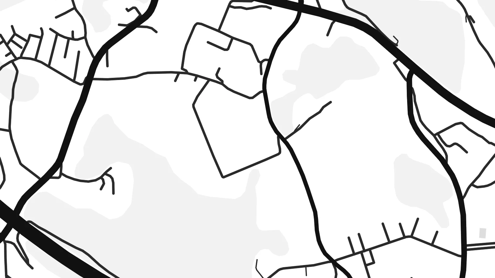
This is a 100% crop of the real print file. Every poster — printed, framed or downloaded — is rendered on our servers at 300 DPI, up to 7,200 × 10,800 pixels, so even the smallest lanes stay crisp on a 24 × 36″ print.
On the wall


The map
Miharu is a town in the Tamura district of Fukushima Prefecture, in the hill country east of Kōriyama. It began as a castle town, held by the Tamura clan and later by the Akita, and the old centre still follows that pattern. Narrow streets run along a valley floor below the wooded hill where the castle once stood, with temples set against the slopes.
Miharu is best known for the Takizakura, a weeping cherry tree more than a thousand years old and counted among Japan's three great cherry trees. Its cascading blossoms draw visitors from across the country each spring. The town is also known for Miharu-goma, small painted wooden horses made here for centuries as a traditional craft and good-luck charm.
A Miharu map poster shows a landscape of folded hills and narrow valleys, with roads and streams following the low ground. Nearby, the reservoir behind Miharu Dam spreads through several branching valleys. Its many arms form an intricate shape that works well in single-colour print.
The wooded hill where Miharu Castle once stood rises above the old town, and its slopes set the curve of the streets gathered around its base.
The lake behind Miharu Dam branches into several long, narrow arms among the hills, giving the map a delicate, finger-like pattern of water.
The historic centre follows a narrow valley, so its streets run in long lines along the low ground instead of forming a regular grid.
Make it yours
Add a date, a name or a line of your own, switch style, size or orientation.
The free preview is low-resolution with a watermark. Prints and HD files are rendered at 300 DPI, up to 7,200 × 10,800 px, without a watermark.
Why Miharu
Miharu means a great deal to people who have stood under the Takizakura in April or grew up among these hills. A map of the town's valleys and lake is a calm reminder of a place that changes with the seasons but keeps its shape.
Personalise the title and subtitle with a name, a place or a date, and adjust the coordinates line. Five styles are available: Classic black & white, Noir, Paper, Blueprint and Sand. Paper and Sand suit the soft hill country especially well, and the HD files cost $9.
Order the Miharu poster| Print size | Resolution | Files |
|---|---|---|
| 30 × 40 cm11.8 × 15.7″ | 3,543 × 4,724 px | PNG · PDF |
| 29.7 × 42 cm (A3)11.7 × 16.5″ | 3,508 × 4,961 px | PNG · PDF |
| 42 × 59.4 cm (A2)16.5 × 23.4″ | 4,961 × 7,016 px | PNG · PDF |
| 45.7 × 61 cm18 × 24″ | 5,400 × 7,200 px | PNG · PDF |
| 50 × 70 cm19.7 × 27.6″ | 5,906 × 8,268 px | PNG · PDF |
| 61 × 91.4 cm24 × 36″ | 7,200 × 10,800 px | PNG · PDF |
For comparison, the free preview is 900 px wide, watermarked and meant for screens. The HD files have up to 8× the resolution in each direction and print cleanly at full poster size.
Pick a style at the top of the page, then choose Printed Poster — a size and, if you like, a frame — or Digital HD Files. Checkout takes one step, and your order page updates as soon as the payment goes through.
It is printed on premium 200 gsm matte paper in one of six sizes, from 30 × 40 cm to 24 × 36″. Printed posters start at $39, shipping included.
Yes. Choose a solid wood frame in black, white, natural oak or dark wood. It comes with shatterproof glazing and is ready to hang. Framed posters start at $99, shipping included.
Shipping is free to 60+ countries. Each poster is printed by the nearest of our print partners in 30+ countries and usually arrives in 3–7 business days. You can follow the status and tracking under My Orders. A few countries take 2–5 weeks, and where we don't ship yet, the site tells you before you pay.
Send us a photo within 14 days of delivery and we will reprint it for free or refund you.
Yes. In the editor on this page, change the title, the subtitle and the coordinates line to anything you like, and pick a style and size. Printed, framed and digital orders all use exactly your design.
For $9 you get 300 DPI PNG and print-ready PDF files in all six sizes, without a watermark, to print anywhere. Not sure yet? Download a free watermarked preview first.
Nearby
