The canal ring
Herengracht, Keizersgracht and Prinsengracht wrap around the medieval core in three parallel arcs, forming the half-moon pattern that makes Amsterdam recognisable from above at a glance.
Poster minimalist tal-mappa · in-Netherlands
52.3740° N / 4.8897° E
Canals fan out in concentric half-rings from the old harbour, giving the city the look of a tree cut in cross-section.

Belt waħda, ħames atmosferi
Agħfas fuq stil biex tarah fuq il-ħajt. Kull stil jiswa l-istess — stampat, inkurnat jew bħala fajls HD.
 Pixels reali · fajl tal-istampar 24 × 36″
Preċiż għall-istampar
Dan huwa qtugħ ta' 100% mill-fajl tal-istampar reali. Kull poster — stampat, inkurnat jew iddawnlowdjat — jiġi ġġenerat fuq is-servers tagħna b'300 DPI, sa 7,200 × 10,800 pixel, biex saħansitra l-iżgħar toroq jibqgħu ċari fuq stampa ta' 24 × 36″.
Fuq il-ħajt


Il-mappa
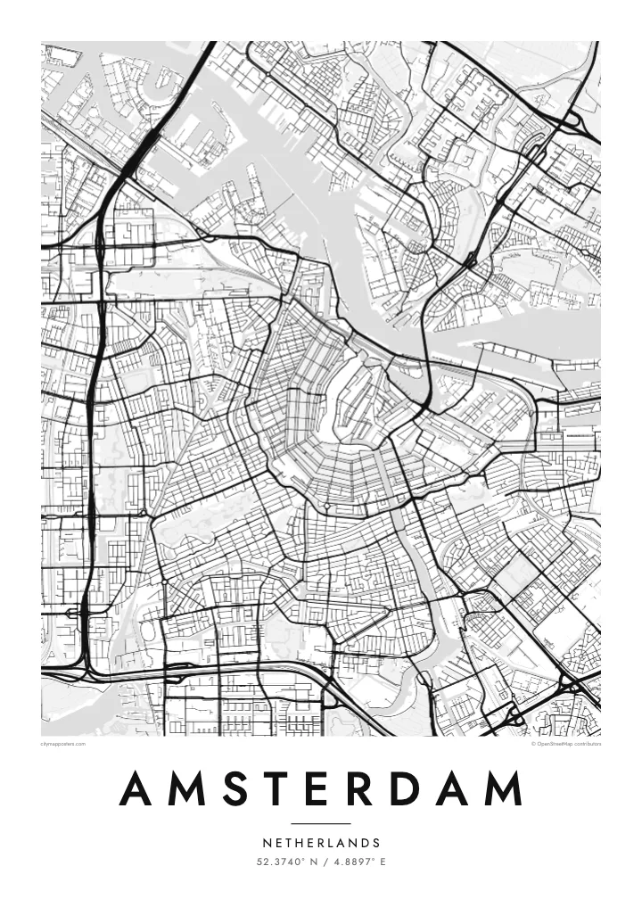
Amsterdam takes its name from a dam on the Amstel, built near where the river met the IJ, and the street map still radiates from that point. The medieval centre sits close to the water, and around it the canals curve in concentric arcs, open to the north like a horseshoe laid against the harbour. Few cities show their growth so clearly in a single image.
The canal ring was dug in the seventeenth century, during the Dutch Golden Age, as a planned expansion for merchants' houses and warehouses. Herengracht, Keizersgracht and Prinsengracht follow one another outward in parallel curves, crossed by radial streets and countless small bridges. The ring was added to the UNESCO World Heritage list in 2010, and it remains the defining pattern on an Amsterdam map poster.
West of the ring, the Jordaan packs narrow streets and smaller canals at a slight angle to the rest. Further out, the city opens up: Vondelpark stretches southwest from the centre, the A10 ring road loops around the whole, and to the east the old docklands have been rebuilt on long, finger-like peninsulas reaching into the water.
Herengracht, Keizersgracht and Prinsengracht wrap around the medieval core in three parallel arcs, forming the half-moon pattern that makes Amsterdam recognisable from above at a glance.
Behind Centraal Station, which stands on artificial islands in the harbour, the broad IJ separates the historic centre from Amsterdam-Noord, linked mostly by free ferries that shuttle back and forth.
Opened in the nineteenth century, the city's best-known park forms a long, narrow shape southwest of the centre, its winding paths and ponds a soft contrast to the straight canal edges.
Agħmlu tiegħek
Żid data, isem jew sentenza tiegħek, ibdel l-istil, id-daqs jew l-orjentazzjoni.
Il-preview b'xejn hija b'riżoluzzjoni baxxa u bil-watermark. L-istampi u l-fajls HD jiġu ġġenerati b'300 DPI, sa 7,200 × 10,800 px, mingħajr watermark.
Għaliex Amsterdam
Amsterdam is small enough to know by heart, which is exactly why its map feels personal. People hang it to remember a flat on a canal, the route they cycled every morning, a long weekend in spring, or the city where a relationship began.
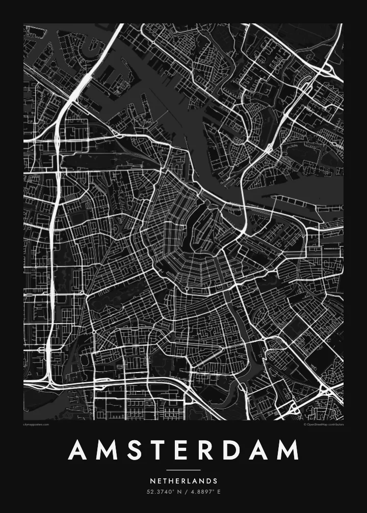
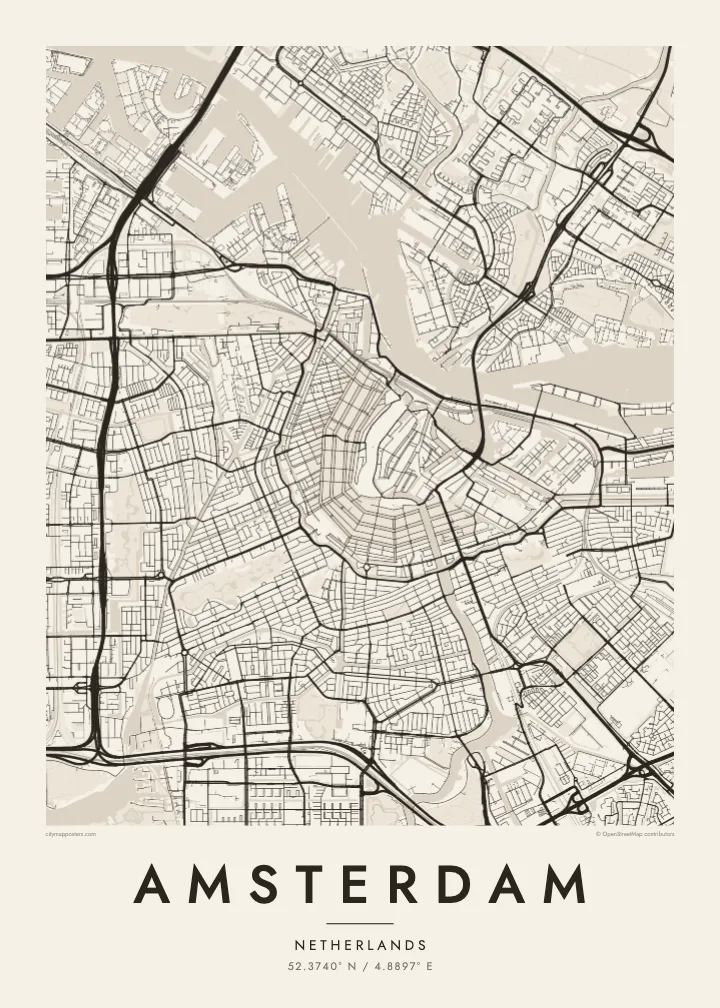
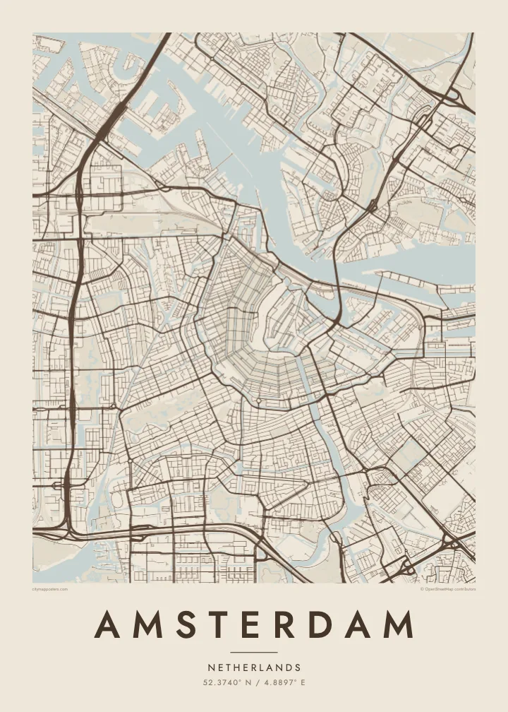
Add your own title and date, a street name, a pair of initials or a year, and pick one of five styles: Classic black & white, Noir, Paper, Blueprint or Sand. Blueprint makes the waterways especially striking, and Sand gives the rings of canals a warm, quiet tone.
Ordna l-poster Amsterdam| Daqs tal-istampa | Riżoluzzjoni | Fajls |
|---|---|---|
| 30 × 40 cm (11.8 × 15.7″) | 3,543 × 4,724 px | PNG · PDF |
| 29.7 × 42 cm (A3, 11.7 × 16.5″) | 3,508 × 4,961 px | PNG · PDF |
| 42 × 59.4 cm (A2, 16.5 × 23.4″) | 4,961 × 7,016 px | PNG · PDF |
| 45.7 × 61 cm (18 × 24″) | 5,400 × 7,200 px | PNG · PDF |
| 50 × 70 cm (19.7 × 27.6″) | 5,906 × 8,268 px | PNG · PDF |
| 61 × 91.4 cm (24 × 36″) | 7,200 × 10,800 px | PNG · PDF |
Għal paragun, il-preview b'xejn huwa wiesa' 900 px, għandu watermark u huwa maħsub għall-iskrins. Il-fajls HD għandhom sa 8× ir-riżoluzzjoni f'kull direzzjoni u jiġu stampati b'mod nadif fid-daqs sħiħ tal-poster.
Agħżel stil fin-naħa ta' fuq tal-paġna, imbagħad agħżel Poster Stampat — daqs u, jekk trid, kurniċa — jew Fajls Diġitali HD. Il-ħlas isir f'pass wieħed, u l-paġna tal-ordni tiegħek tiġi aġġornata malli l-ħlas jgħaddi.
Jiġi stampat fuq karta matte premium ta' 200 gsm f'wieħed minn sitt daqsijiet, minn 30 × 40 cm sa 24 × 36″. Il-posters stampati jibdew minn $39, bil-kunsinna inkluża.
Iva. Agħżel kurniċa tal-injam solidu f'iswed, abjad, ballut naturali jew injam skur. Tiġi bi ħġieġ li ma jinkisirx u lesta biex tittella'. Il-posters inkurnati jibdew minn $99, bil-kunsinna inkluża.
L-ispedizzjoni hija b'xejn mad-dinja kollha. Kull poster jiġi stampat mill-eqreb wieħed mis-sieħba tal-istampar tagħna f'aktar minn 30 pajjiż u normalment jaslilek fi 3–7 ijiem tax-xogħol. Tista' tsegwi l-istatus u t-traċċar taħt L-Ordnijiet Tiegħi. Xi pajjiżi jieħdu 2–5 ġimgħat, u fejn għadna ma nispedixxux, is-sit jgħidlek qabel ma tħallas.
Ibgħatilna ritratt fi żmien 14-il jum mill-kunsinna u aħna nistampawh mill-ġdid b'xejn jew nirrimborżawk.
Iva. Fl-editur ta' din il-paġna, biddel it-titlu, is-sottotitlu u l-linja tal-koordinati għal kwalunkwe ħaġa trid, u agħżel stil u daqs. L-ordnijiet stampati, inkurnati u diġitali kollha jużaw eżattament id-disinn tiegħek.
Għal $9 tikseb fajls PNG b'300 DPI u PDF lesti għall-istampar fis-sitt daqsijiet kollha, mingħajr watermark, biex tistampa kullimkien. Għadek mhux ċert? L-ewwel iddawnlowdja preview b'xejn bil-watermark.
