Museum Island
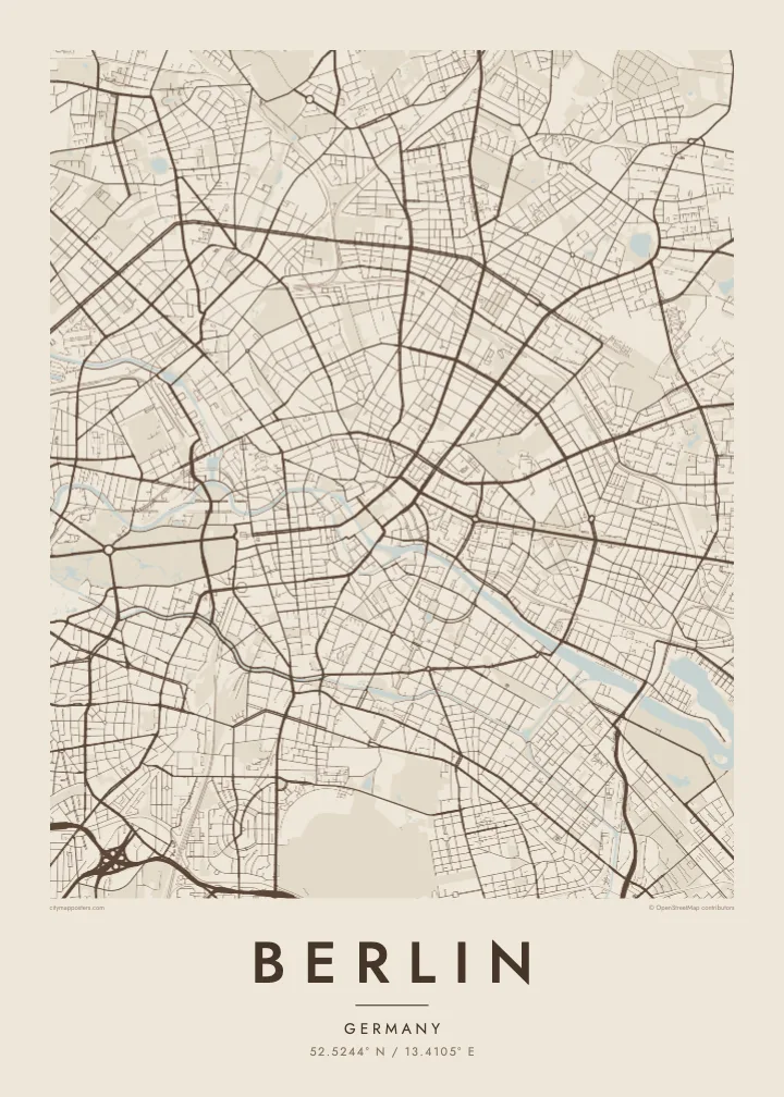
At the northern end of an island in the Spree, a cluster of five museums forms a UNESCO World Heritage site, and on the map the river divides neatly to hold it.
Poster minimalist tal-mappa · il-Ġermanja
52.5244° N / 13.4105° E
A sprawling city of lakes and forests, threaded by the slow Spree, its centre held inside the circle of the Ringbahn.
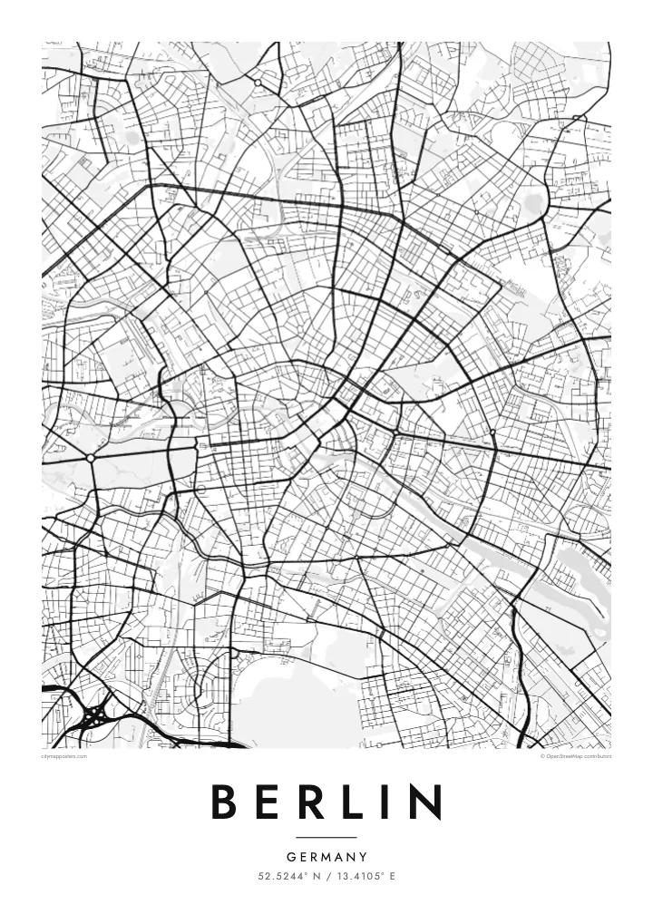
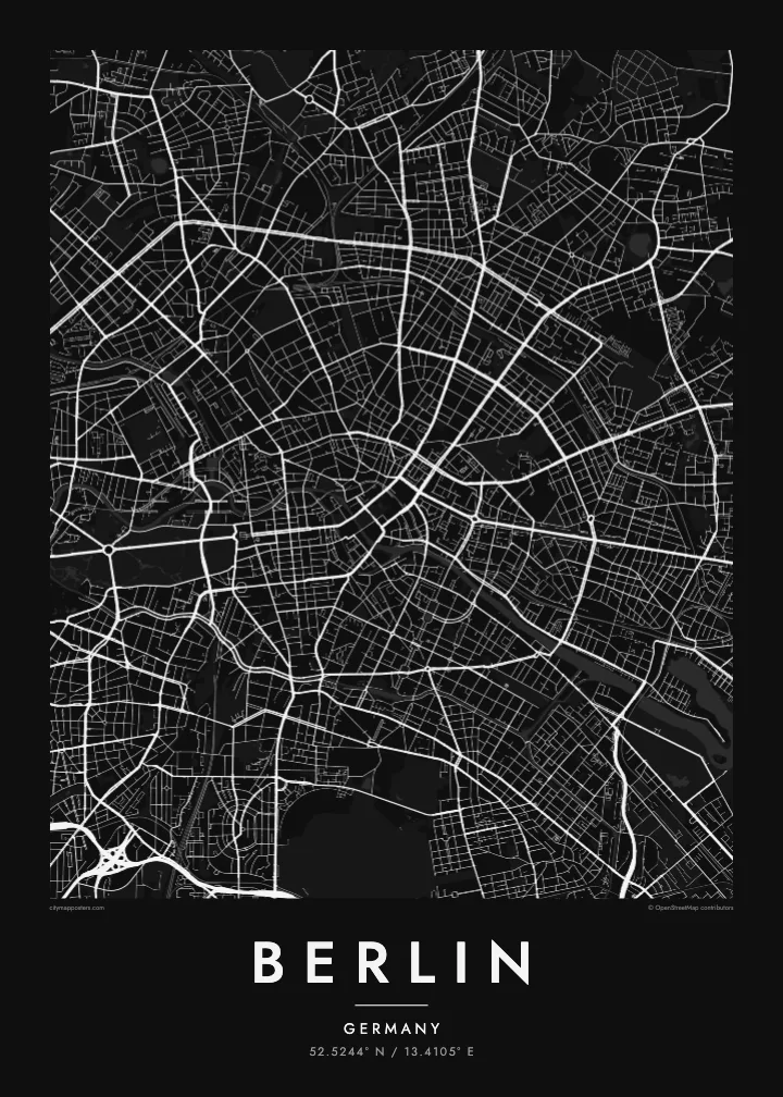
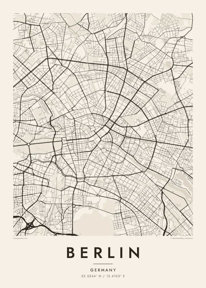
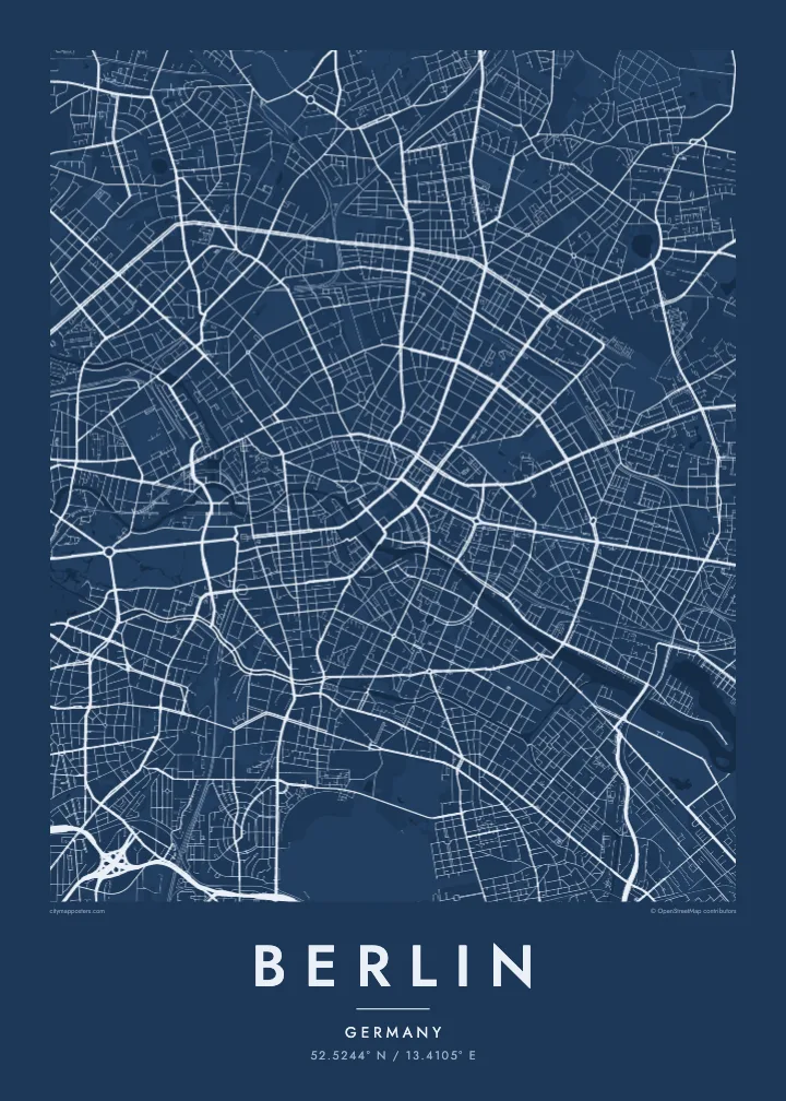
Belt waħda, ħames atmosferi
Agħfas fuq stil biex tarah fuq il-ħajt. Kull stil jiswa l-istess — stampat, inkurnat jew bħala fajls HD.
 Pixels reali · fajl tal-istampar 24 × 36″
Preċiż għall-istampar
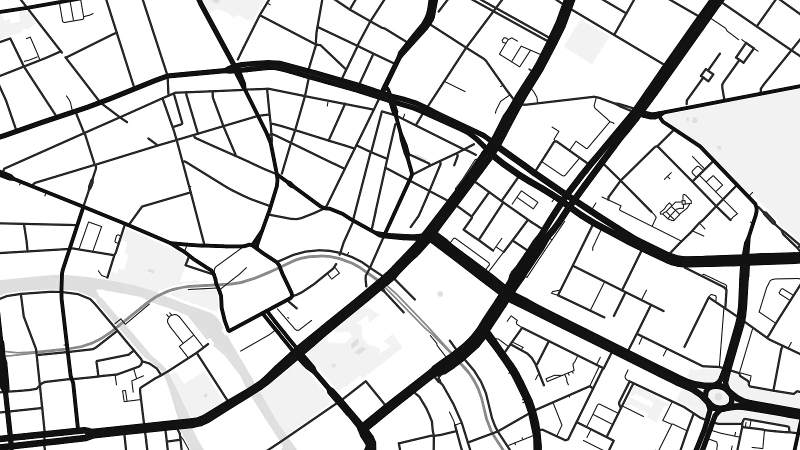
Dan huwa qtugħ ta' 100% mill-fajl tal-istampar reali. Kull poster — stampat, inkurnat jew iddawnlowdjat — jiġi ġġenerat fuq is-servers tagħna b'300 DPI, sa 7,200 × 10,800 pixel, biex saħansitra l-iżgħar toroq jibqgħu ċari fuq stampa ta' 24 × 36″.
Fuq il-ħajt

Il-mappa
Berlin is large, spread out and surprisingly green. The street map shows a city assembled from many towns and villages, formally merged into Greater Berlin in 1920, so rather than one historic core there are several, each with its own knot of streets. Between them run broad avenues, rail corridors and wide open spaces that give the map room to breathe.
The Spree winds through the middle, splitting around Museum Island before continuing west past the government quarter and the Tiergarten, the great park that stretches from the Brandenburg Gate. Beyond the western districts the Havel widens into a chain of lakes including the Wannsee, and to the southeast the Müggelsee sits among forest. Water and woodland frame the city on almost every side.
The Berlin Wall divided the city from 1961 to 1989, and although it has largely vanished, its line still shows in places as a strip of parks, gaps and abrupt changes in street pattern. Around the centre, the Ringbahn traces a loop locals compare to a dog's head. A Berlin map poster holds all of it: divided history, open fields and quiet water.
At the northern end of an island in the Spree, a cluster of five museums forms a UNESCO World Heritage site, and on the map the river divides neatly to hold it.
Tempelhof Airport closed in 2008 and its airfield became a public park, leaving a vast open space in the south of the inner city with the outline of its two runways still visible.
Berlin's central park runs west from the Brandenburg Gate, cut straight through by the Straße des 17. Juni, with the Victory Column rising from the Großer Stern roundabout at its middle.
Agħmlu tiegħek
Żid data, isem jew sentenza tiegħek, ibdel l-istil, id-daqs jew l-orjentazzjoni.
Il-preview b'xejn hija b'riżoluzzjoni baxxa u bil-watermark. L-istampi u l-fajls HD jiġu ġġenerati b'300 DPI, sa 7,200 × 10,800 px, mingħajr watermark.
Għaliex Berlin
Berlin attracts people who stay longer than they planned. A map of the city suits anyone who moved there for a year and lingered for ten, who remembers it before the rents rose, or whose family story runs along one side of the old wall or the other.
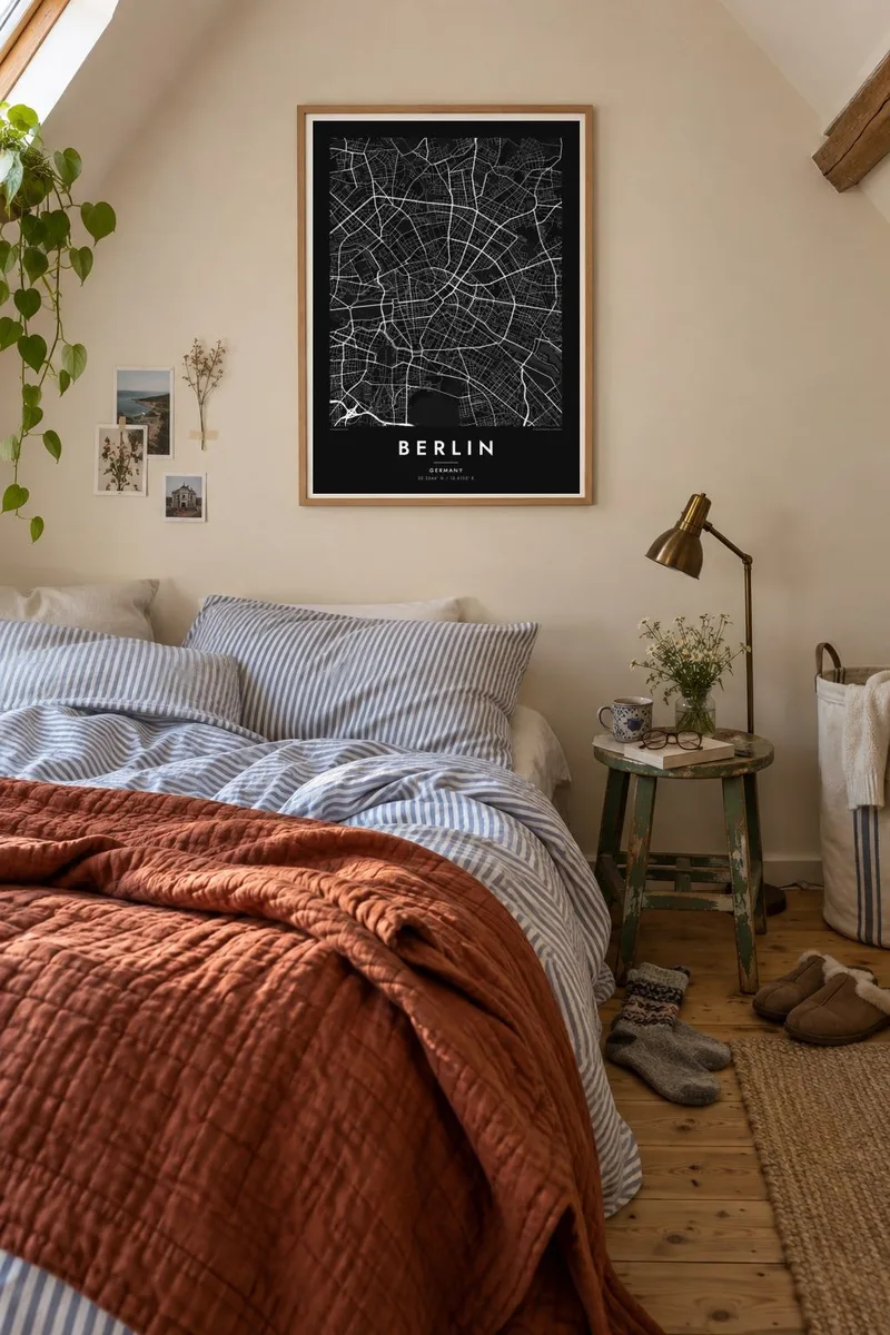
Add a title and date that mean something to you, a neighbourhood, a street or a year, and choose from five styles: Classic black & white, Noir, Paper, Blueprint or Sand. Noir suits Berlin's long nights, while Paper brings out the soft outlines of its lakes and parks.
Ordna l-poster Berlin| Daqs tal-istampa | Riżoluzzjoni | Fajls |
|---|---|---|
| 30 × 40 cm (11.8 × 15.7″) | 3,543 × 4,724 px | PNG · PDF |
| 29.7 × 42 cm (A3, 11.7 × 16.5″) | 3,508 × 4,961 px | PNG · PDF |
| 42 × 59.4 cm (A2, 16.5 × 23.4″) | 4,961 × 7,016 px | PNG · PDF |
| 45.7 × 61 cm (18 × 24″) | 5,400 × 7,200 px | PNG · PDF |
| 50 × 70 cm (19.7 × 27.6″) | 5,906 × 8,268 px | PNG · PDF |
| 61 × 91.4 cm (24 × 36″) | 7,200 × 10,800 px | PNG · PDF |
Għal paragun, il-preview b'xejn huwa wiesa' 900 px, għandu watermark u huwa maħsub għall-iskrins. Il-fajls HD għandhom sa 8× ir-riżoluzzjoni f'kull direzzjoni u jiġu stampati b'mod nadif fid-daqs sħiħ tal-poster.
Agħżel stil fin-naħa ta' fuq tal-paġna, imbagħad agħżel Poster Stampat — daqs u, jekk trid, kurniċa — jew Fajls Diġitali HD. Il-ħlas isir f'pass wieħed, u l-paġna tal-ordni tiegħek tiġi aġġornata malli l-ħlas jgħaddi.
Jiġi stampat fuq karta matte premium ta' 200 gsm f'wieħed minn sitt daqsijiet, minn 30 × 40 cm sa 24 × 36″. Il-posters stampati jibdew minn {printFrom}, bil-kunsinna inkluża.
Iva. Agħżel kurniċa tal-injam solidu f'iswed, abjad, ballut naturali jew injam skur. Tiġi bi ħġieġ li ma jinkisirx u lesta biex tittella'. Il-posters inkurnati jibdew minn {framedFrom}, bil-kunsinna inkluża.
Il-kunsinna hija b'xejn madwar id-dinja. Kull poster jiġi stampat mill-eqreb sieħeb tal-istampar tagħna f'aktar minn 30 pajjiż u ġeneralment jasal fi 3–7 ijiem tax-xogħol. Tista' ssegwi l-istatus u t-tracking taħt L-Ordnijiet Tiegħi.
Ibgħatilna ritratt fi żmien 14-il jum mill-kunsinna u aħna nistampawh mill-ġdid b'xejn jew nirrimborżawk.
Iva. Fl-editur ta' din il-paġna, biddel it-titlu, is-sottotitlu u l-linja tal-koordinati għal kwalunkwe ħaġa trid, u agħżel stil u daqs. L-ordnijiet stampati, inkurnati u diġitali kollha jużaw eżattament id-disinn tiegħek.
Għal $9 tikseb fajls PNG b'300 DPI u PDF lesti għall-istampar fis-sitt daqsijiet kollha, mingħajr watermark, biex tistampa kullimkien. Għadek mhux ċert? L-ewwel iddawnlowdja preview b'xejn bil-watermark.
