The two islands
Île de la Cité and Île Saint-Louis sit in the Seine at the heart of the map, with Notre-Dame at the eastern end of the larger island and bridges stitching both to either bank.
Poster minimalist tal-mappa · Franza
48.8534° N / 2.3488° E
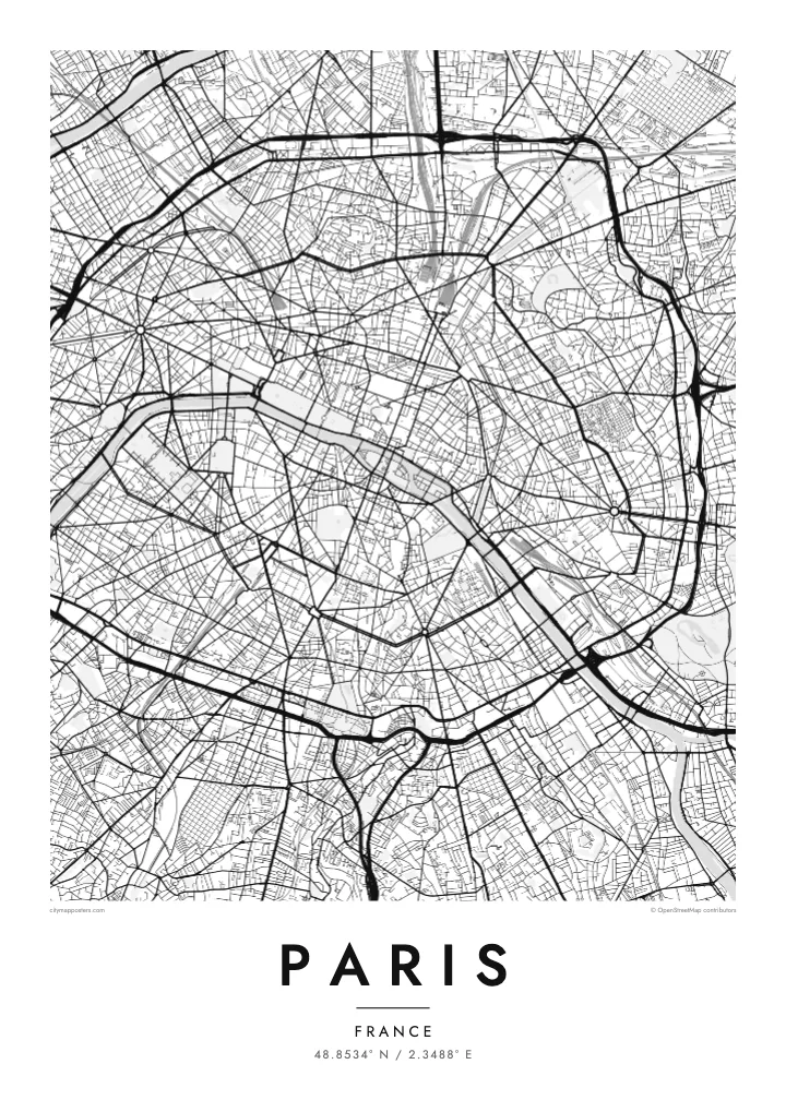
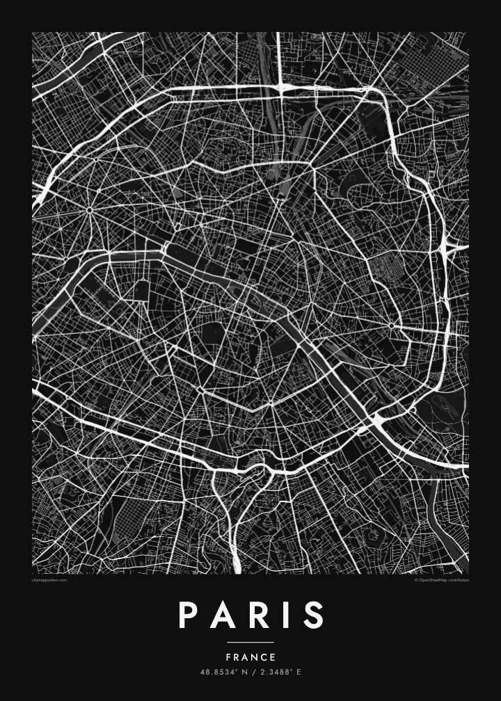
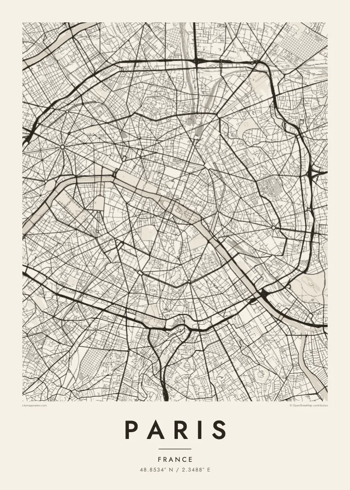
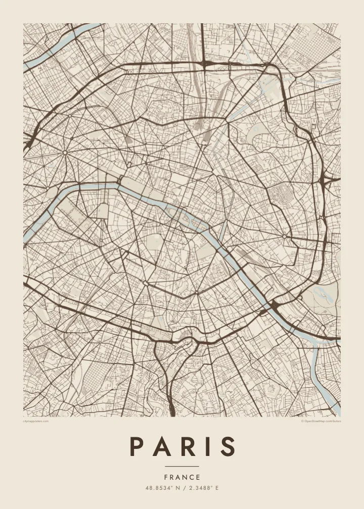
A city drawn in concentric rings around a curving river, its grand boulevards cutting straight lines through the older, tighter weave.

Belt waħda, ħames atmosferi
Agħfas fuq stil biex tarah fuq il-ħajt. Kull stil jiswa l-istess — stampat, inkurnat jew bħala fajls HD.
 Pixels reali · fajl tal-istampar 24 × 36″
Preċiż għall-istampar
Dan huwa qtugħ ta' 100% mill-fajl tal-istampar reali. Kull poster — stampat, inkurnat jew iddawnlowdjat — jiġi ġġenerat fuq is-servers tagħna b'300 DPI, sa 7,200 × 10,800 pixel, biex saħansitra l-iżgħar toroq jibqgħu ċari fuq stampa ta' 24 × 36″.
Fuq il-ħajt


Il-mappa
From above, Paris is organised around a river that refuses to run straight. The Seine enters from the southeast, bends in a long arc and leaves to the southwest, with the Île de la Cité and the Île Saint-Louis anchored in the middle like two moored boats. Everything else seems to orbit that pair of islands, where the city began as a small settlement on the water.
The twenty arrondissements make the orbit literal. They are numbered in a clockwise spiral from the centre, curling outward like a snail shell until the sequence meets the Boulevard Périphérique, the ring road that marks the city limit with unusual precision. Inside that loop, a Paris map poster shows two textures at once: the dense, irregular lanes of the medieval core and the long diagonal cuts laid over them.
Those cuts are the work of Baron Haussmann, who remade the city for Napoleon III in the mid nineteenth century. His boulevards meet at star-shaped squares, most famously the Place Charles de Gaulle, where twelve avenues radiate from the Arc de Triomphe. At the edges, the Bois de Boulogne to the west and the Bois de Vincennes to the east sit like two large, pale lungs.
Île de la Cité and Île Saint-Louis sit in the Seine at the heart of the map, with Notre-Dame at the eastern end of the larger island and bridges stitching both to either bank.
Twelve avenues leave the Arc de Triomphe in every direction, producing the most recognisable star on any European street map and the clearest reading of Haussmann's plan for the city.
The ring road follows the line of the city's last fortifications, giving Paris a sharp, almost oval border that frames the poster and separates the city proper from its suburbs.
Agħmlu tiegħek
Żid data, isem jew sentenza tiegħek, ibdel l-istil, id-daqs jew l-orjentazzjoni.
Il-preview b'xejn hija b'riżoluzzjoni baxxa u bil-watermark. L-istampi u l-fajls HD jiġu ġġenerati b'300 DPI, sa 7,200 × 10,800 px, mingħajr watermark.
Għaliex Paris
Paris is often the first city people fall for, and a street map holds that feeling without leaning on postcard images. It suits the flat above a café you still miss, the arrondissement where you studied for a year, or a weekend that turned into a proposal somewhere along the quais.
Add your own title and a date that matters, whether it marks a move, an anniversary or the year you left, then choose from five styles: Classic black & white, Noir, Paper, Blueprint or Sand. Each keeps the lines crisp, so the spiral of the arrondissements reads clearly from across the room.
Ordna l-poster Paris| Daqs tal-istampa | Riżoluzzjoni | Fajls |
|---|---|---|
| 30 × 40 cm (11.8 × 15.7″) | 3,543 × 4,724 px | PNG · PDF |
| 29.7 × 42 cm (A3, 11.7 × 16.5″) | 3,508 × 4,961 px | PNG · PDF |
| 42 × 59.4 cm (A2, 16.5 × 23.4″) | 4,961 × 7,016 px | PNG · PDF |
| 45.7 × 61 cm (18 × 24″) | 5,400 × 7,200 px | PNG · PDF |
| 50 × 70 cm (19.7 × 27.6″) | 5,906 × 8,268 px | PNG · PDF |
| 61 × 91.4 cm (24 × 36″) | 7,200 × 10,800 px | PNG · PDF |
Għal paragun, il-preview b'xejn huwa wiesa' 900 px, għandu watermark u huwa maħsub għall-iskrins. Il-fajls HD għandhom sa 8× ir-riżoluzzjoni f'kull direzzjoni u jiġu stampati b'mod nadif fid-daqs sħiħ tal-poster.
Agħżel stil fin-naħa ta' fuq tal-paġna, imbagħad agħżel Poster Stampat — daqs u, jekk trid, kurniċa — jew Fajls Diġitali HD. Il-ħlas isir f'pass wieħed, u l-paġna tal-ordni tiegħek tiġi aġġornata malli l-ħlas jgħaddi.
Jiġi stampat fuq karta matte premium ta' 200 gsm f'wieħed minn sitt daqsijiet, minn 30 × 40 cm sa 24 × 36″. Il-posters stampati jibdew minn {printFrom}, bil-kunsinna inkluża.
Iva. Agħżel kurniċa tal-injam solidu f'iswed, abjad, ballut naturali jew injam skur. Tiġi bi ħġieġ li ma jinkisirx u lesta biex tittella'. Il-posters inkurnati jibdew minn {framedFrom}, bil-kunsinna inkluża.
Il-kunsinna hija b'xejn madwar id-dinja. Kull poster jiġi stampat mill-eqreb sieħeb tal-istampar tagħna f'aktar minn 30 pajjiż u ġeneralment jasal fi 3–7 ijiem tax-xogħol. Tista' ssegwi l-istatus u t-tracking taħt L-Ordnijiet Tiegħi.
Ibgħatilna ritratt fi żmien 14-il jum mill-kunsinna u aħna nistampawh mill-ġdid b'xejn jew nirrimborżawk.
Iva. Fl-editur ta' din il-paġna, biddel it-titlu, is-sottotitlu u l-linja tal-koordinati għal kwalunkwe ħaġa trid, u agħżel stil u daqs. L-ordnijiet stampati, inkurnati u diġitali kollha jużaw eżattament id-disinn tiegħek.
Għal $9 tikseb fajls PNG b'300 DPI u PDF lesti għall-istampar fis-sitt daqsijiet kollha, mingħajr watermark, biex tistampa kullimkien. Għadek mhux ċert? L-ewwel iddawnlowdja preview b'xejn bil-watermark.
Fil-qrib
