Lake Michigan shore
The city's eastern edge is a long, almost straight shoreline, broken by harbours, beaches and parkland. On the poster it reads as a single confident line against open water.
Poster minimalist tal-mappa · l-Istati Uniti
41.8500° N / 87.6500° W
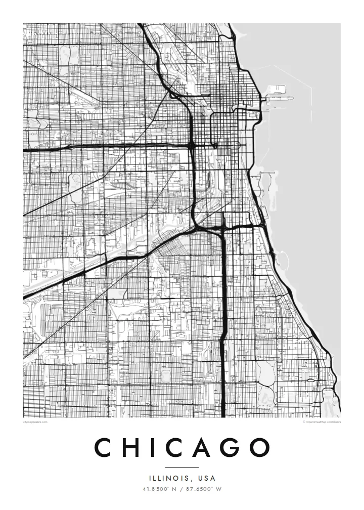
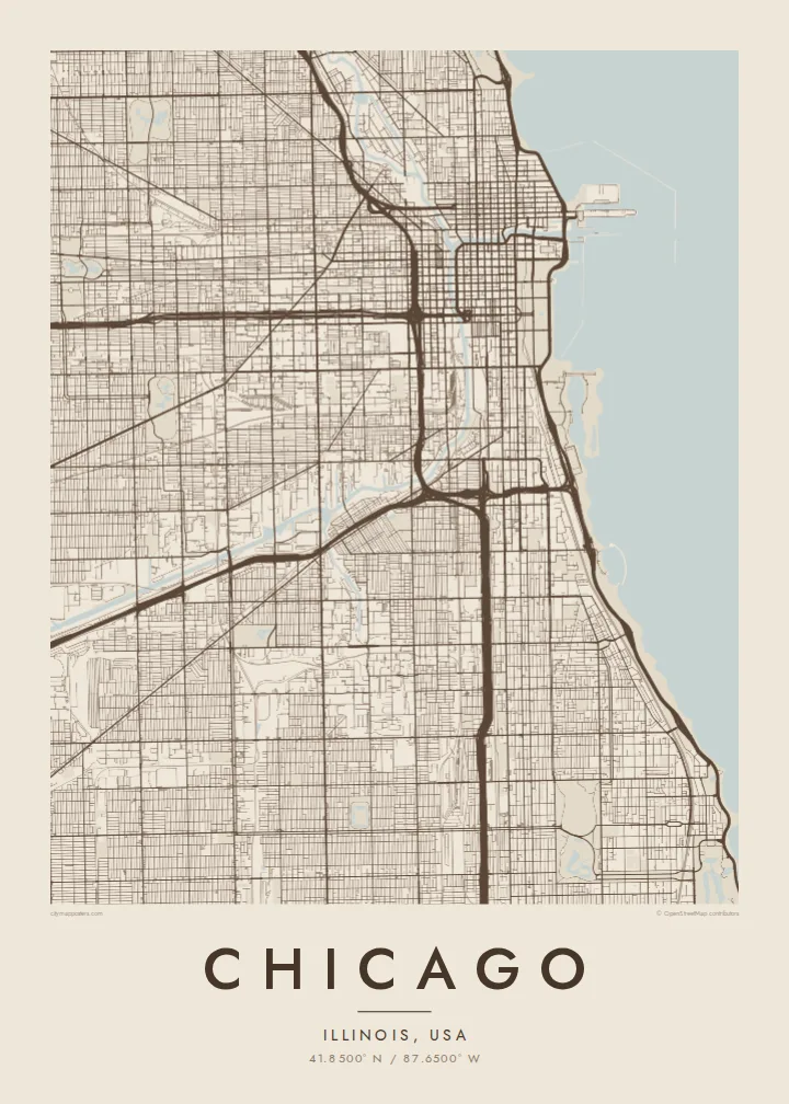
A vast street grid pressed against Lake Michigan, split by a forked river and crossed by long diagonal avenues.
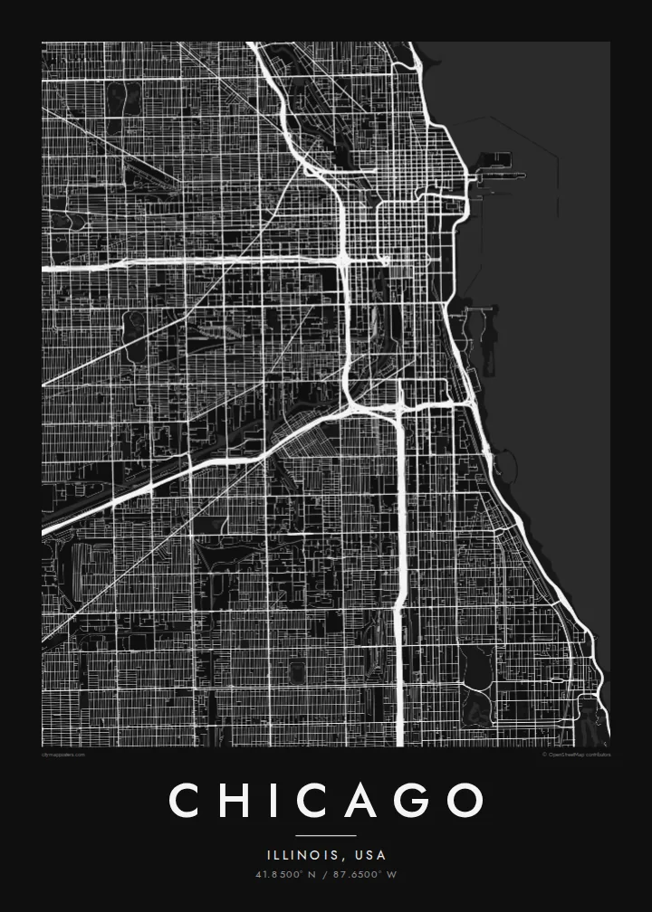
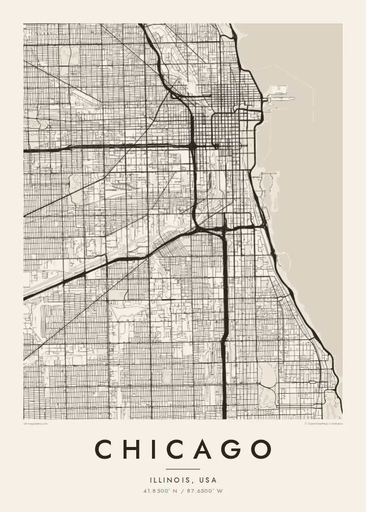
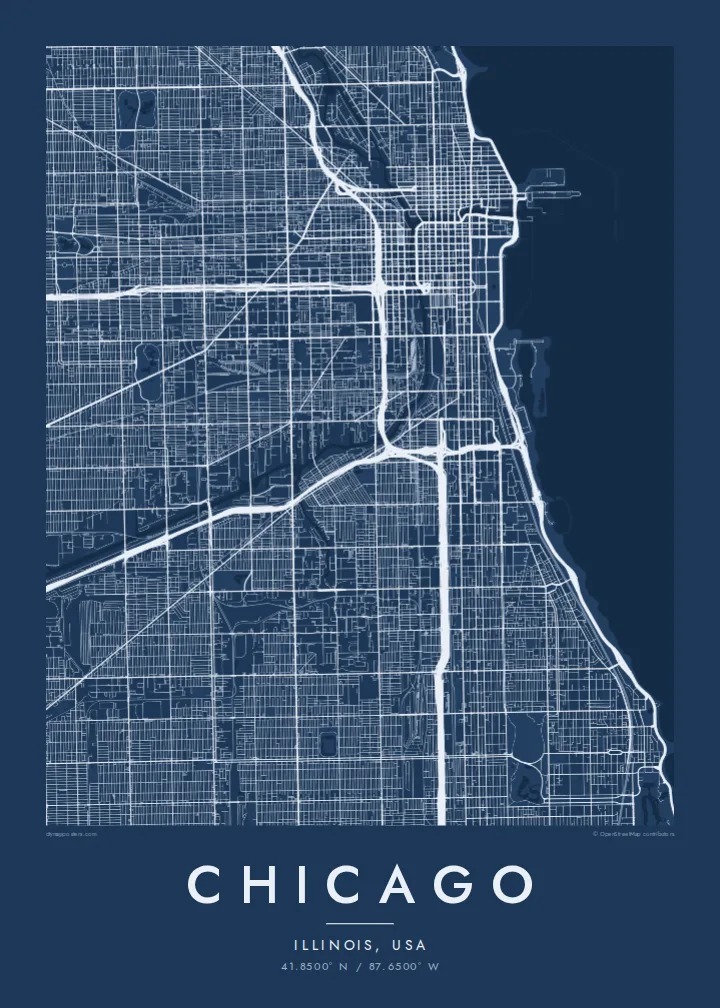
Belt waħda, ħames atmosferi
Agħfas fuq stil biex tarah fuq il-ħajt. Kull stil jiswa l-istess — stampat, inkurnat jew bħala fajls HD.
 Pixels reali · fajl tal-istampar 24 × 36″
Preċiż għall-istampar
Dan huwa qtugħ ta' 100% mill-fajl tal-istampar reali. Kull poster — stampat, inkurnat jew iddawnlowdjat — jiġi ġġenerat fuq is-servers tagħna b'300 DPI, sa 7,200 × 10,800 pixel, biex saħansitra l-iżgħar toroq jibqgħu ċari fuq stampa ta' 24 × 36″.
Fuq il-ħajt


Il-mappa
Chicago is one of the clearest grid cities in the world. Addresses are numbered from a single origin at State and Madison streets downtown, and the streets run north–south and east–west with remarkable regularity, usually eight blocks to the mile. Cutting across the grid are a handful of older diagonal routes, such as Milwaukee, Ogden and Archer avenues, which follow early trails into the city.
To the east, the grid stops at Lake Michigan, and a long chain of lakefront parks runs along much of the shoreline, from Lincoln Park in the north to Jackson Park in the south. The Chicago River enters the lake beside the Loop and splits into north and south branches, famous for having had its flow reversed in 1900 to carry water away from the lake.
The Loop, the downtown business district, takes its name from the ring of elevated rail tracks that circles it. A Chicago map poster makes the logic of the city visible at once: the ruled grid, the angled diagonals, the branching river and the long clean edge of the lake, all of it holding together across a very large area.
The city's eastern edge is a long, almost straight shoreline, broken by harbours, beaches and parkland. On the poster it reads as a single confident line against open water.
The Chicago River runs inland from the lake and divides into a north and a south branch, a Y shape threaded with bridges near downtown.
Several old routes run at an angle across the regular grid, creating triangular blocks and six-way intersections that stand out immediately against the square pattern.
Agħmlu tiegħek
Żid data, isem jew sentenza tiegħek, ibdel l-istil, id-daqs jew l-orjentazzjoni.
Il-preview b'xejn hija b'riżoluzzjoni baxxa u bil-watermark. L-istampi u l-fajls HD jiġu ġġenerati b'300 DPI, sa 7,200 × 10,800 px, mingħajr watermark.
Għaliex Chicago
Chicagoans often identify with a neighbourhood, a side of town or a stretch of the lakefront, and the grid makes it easy to find your own corner on the map. It also works well for anyone who has moved away and misses the city.
Add a title, a subtitle with a year or neighbourhood, and your own coordinates. Choose from Classic black & white, Noir, Paper, Blueprint and Sand, then order a print from a nearby partner or download the HD files for $9.
Ordna l-poster Chicago| Daqs tal-istampa | Riżoluzzjoni | Fajls |
|---|---|---|
| 30 × 40 cm (11.8 × 15.7″) | 3,543 × 4,724 px | PNG · PDF |
| 29.7 × 42 cm (A3, 11.7 × 16.5″) | 3,508 × 4,961 px | PNG · PDF |
| 42 × 59.4 cm (A2, 16.5 × 23.4″) | 4,961 × 7,016 px | PNG · PDF |
| 45.7 × 61 cm (18 × 24″) | 5,400 × 7,200 px | PNG · PDF |
| 50 × 70 cm (19.7 × 27.6″) | 5,906 × 8,268 px | PNG · PDF |
| 61 × 91.4 cm (24 × 36″) | 7,200 × 10,800 px | PNG · PDF |
Għal paragun, il-preview b'xejn huwa wiesa' 900 px, għandu watermark u huwa maħsub għall-iskrins. Il-fajls HD għandhom sa 8× ir-riżoluzzjoni f'kull direzzjoni u jiġu stampati b'mod nadif fid-daqs sħiħ tal-poster.
Agħżel stil fin-naħa ta' fuq tal-paġna, imbagħad agħżel Poster Stampat — daqs u, jekk trid, kurniċa — jew Fajls Diġitali HD. Il-ħlas isir f'pass wieħed, u l-paġna tal-ordni tiegħek tiġi aġġornata malli l-ħlas jgħaddi.
Jiġi stampat fuq karta matte premium ta' 200 gsm f'wieħed minn sitt daqsijiet, minn 30 × 40 cm sa 24 × 36″. Il-posters stampati jibdew minn {printFrom}, bil-kunsinna inkluża.
Iva. Agħżel kurniċa tal-injam solidu f'iswed, abjad, ballut naturali jew injam skur. Tiġi bi ħġieġ li ma jinkisirx u lesta biex tittella'. Il-posters inkurnati jibdew minn {framedFrom}, bil-kunsinna inkluża.
L-ispedizzjoni hija b'xejn mad-dinja kollha. Kull poster jiġi stampat mill-eqreb wieħed mis-sieħba tal-istampar tagħna f'aktar minn 30 pajjiż u normalment jaslilek fi 3–7 ijiem tax-xogħol. Tista' tsegwi l-istatus u t-traċċar taħt L-Ordnijiet Tiegħi. Xi pajjiżi jieħdu 2–5 ġimgħat, u fejn għadna ma nispedixxux, is-sit jgħidlek qabel ma tħallas.
Ibgħatilna ritratt fi żmien 14-il jum mill-kunsinna u aħna nistampawh mill-ġdid b'xejn jew nirrimborżawk.
Iva. Fl-editur ta' din il-paġna, biddel it-titlu, is-sottotitlu u l-linja tal-koordinati għal kwalunkwe ħaġa trid, u agħżel stil u daqs. L-ordnijiet stampati, inkurnati u diġitali kollha jużaw eżattament id-disinn tiegħek.
Għal $9 tikseb fajls PNG b'300 DPI u PDF lesti għall-istampar fis-sitt daqsijiet kollha, mingħajr watermark, biex tistampa kullimkien. Għadek mhux ċert? L-ewwel iddawnlowdja preview b'xejn bil-watermark.
