Church and plaza
The old parish church and its square sit at the heart of the town, and the streets around them form the most regular, clearly ordered part of the map.
Poster minimalist tal-mappa · il-Filippini
11.1683° N / 123.7223° E
An island town in the Visayan Sea off northern Cebu, its old centre gathered around a church plaza near the shore.


Belt waħda, ħames atmosferi
Agħfas fuq stil biex tarah fuq il-ħajt. Kull stil jiswa l-istess — stampat, inkurnat jew bħala fajls HD.
 Pixels reali · fajl tal-istampar 24 × 36″
Preċiż għall-istampar
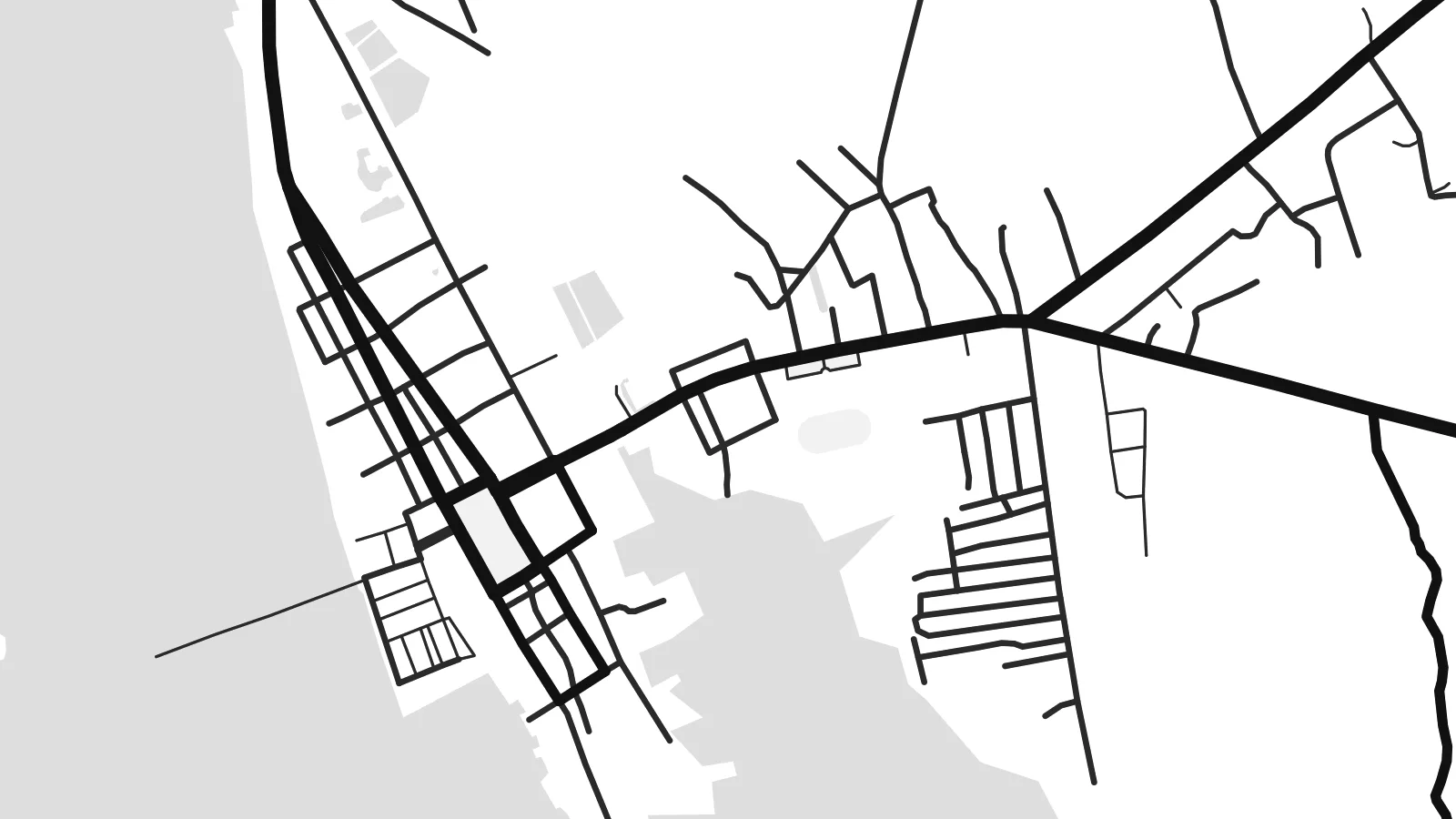
Dan huwa qtugħ ta' 100% mill-fajl tal-istampar reali. Kull poster — stampat, inkurnat jew iddawnlowdjat — jiġi ġġenerat fuq is-servers tagħna b'300 DPI, sa 7,200 × 10,800 pixel, biex saħansitra l-iżgħar toroq jibqgħu ċari fuq stampa ta' 24 × 36″.
Fuq il-ħajt


Il-mappa
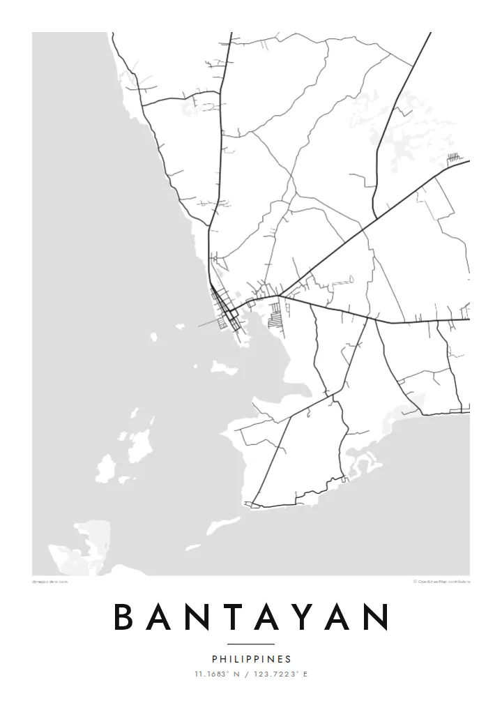
Bantayan is the main town of Bantayan Island, which lies off the northern tip of Cebu in the Visayan Sea. The island is low and fairly flat, and on a map its outline is simple: a rounded landmass fringed by shallow water, with the town on its western shore. Streets run down to the waterfront and a pier reaches out into the sea.
The town grew up around one of the older Spanish-era churches in the country, the parish of Saints Peter and Paul, and its plaza still anchors the grid of the centre. Bantayan is also known across the Philippines for its Holy Week observances, when processions draw visitors from Cebu and beyond, and for poultry farms that supply eggs to much of the region.
A Bantayan map poster shows a place defined by the sea on almost every side: a compact grid by the shore, roads fanning inland across the island, and the plain white of surrounding water. It suits islanders, returning visitors and anyone who remembers the slower pace of life on the islands off northern Cebu.
The old parish church and its square sit at the heart of the town, and the streets around them form the most regular, clearly ordered part of the map.
The low, rounded shape of Bantayan Island is surrounded by shallow water, so its coastline reads as a clean, unbroken boundary on the poster.
A pier extends from the town's waterfront, used by fishing and passenger boats; on the map it appears as a short, precise line into open water.
Agħmlu tiegħek
Żid data, isem jew sentenza tiegħek, ibdel l-istil, id-daqs jew l-orjentazzjoni.
Il-preview b'xejn hija b'riżoluzzjoni baxxa u bil-watermark. L-istampi u l-fajls HD jiġu ġġenerati b'300 DPI, sa 7,200 × 10,800 px, mingħajr watermark.
Għaliex Bantayan
People hang a map of Bantayan to remember a family home, a Holy Week spent on the island, or a quiet stretch of coast. The poster gives the island its outline and the town its grid, a simple image that still carries a strong sense of place.
The title, subtitle and coordinates line are all yours to edit, so you can add a date or a short dedication. Blueprint gives the sea a cool tone and Paper a gentler one, with three more styles to choose from before you download or order a print.
Ordna l-poster Bantayan| Daqs tal-istampa | Riżoluzzjoni | Fajls |
|---|---|---|
| 30 × 40 cm (11.8 × 15.7″) | 3,543 × 4,724 px | PNG · PDF |
| 29.7 × 42 cm (A3, 11.7 × 16.5″) | 3,508 × 4,961 px | PNG · PDF |
| 42 × 59.4 cm (A2, 16.5 × 23.4″) | 4,961 × 7,016 px | PNG · PDF |
| 45.7 × 61 cm (18 × 24″) | 5,400 × 7,200 px | PNG · PDF |
| 50 × 70 cm (19.7 × 27.6″) | 5,906 × 8,268 px | PNG · PDF |
| 61 × 91.4 cm (24 × 36″) | 7,200 × 10,800 px | PNG · PDF |
Għal paragun, il-preview b'xejn huwa wiesa' 900 px, għandu watermark u huwa maħsub għall-iskrins. Il-fajls HD għandhom sa 8× ir-riżoluzzjoni f'kull direzzjoni u jiġu stampati b'mod nadif fid-daqs sħiħ tal-poster.
Agħżel stil fin-naħa ta' fuq tal-paġna, imbagħad agħżel Poster Stampat — daqs u, jekk trid, kurniċa — jew Fajls Diġitali HD. Il-ħlas isir f'pass wieħed, u l-paġna tal-ordni tiegħek tiġi aġġornata malli l-ħlas jgħaddi.
Jiġi stampat fuq karta matte premium ta' 200 gsm f'wieħed minn sitt daqsijiet, minn 30 × 40 cm sa 24 × 36″. Il-posters stampati jibdew minn {printFrom}, bil-kunsinna inkluża.
Iva. Agħżel kurniċa tal-injam solidu f'iswed, abjad, ballut naturali jew injam skur. Tiġi bi ħġieġ li ma jinkisirx u lesta biex tittella'. Il-posters inkurnati jibdew minn {framedFrom}, bil-kunsinna inkluża.
Il-kunsinna hija b'xejn madwar id-dinja. Kull poster jiġi stampat mill-eqreb sieħeb tal-istampar tagħna f'aktar minn 30 pajjiż u ġeneralment jasal fi 3–7 ijiem tax-xogħol. Tista' ssegwi l-istatus u t-tracking taħt L-Ordnijiet Tiegħi.
Ibgħatilna ritratt fi żmien 14-il jum mill-kunsinna u aħna nistampawh mill-ġdid b'xejn jew nirrimborżawk.
Iva. Fl-editur ta' din il-paġna, biddel it-titlu, is-sottotitlu u l-linja tal-koordinati għal kwalunkwe ħaġa trid, u agħżel stil u daqs. L-ordnijiet stampati, inkurnati u diġitali kollha jużaw eżattament id-disinn tiegħek.
Għal $9 tikseb fajls PNG b'300 DPI u PDF lesti għall-istampar fis-sitt daqsijiet kollha, mingħajr watermark, biex tistampa kullimkien. Għadek mhux ċert? L-ewwel iddawnlowdja preview b'xejn bil-watermark.
