Forest setting
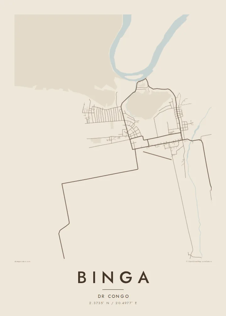
Dense equatorial vegetation surrounds the settlement on every side. The map therefore frames the town as a distinct cluster of lines set in broad, quiet empty space.
Poster minimalist tal-mappa · ir-Repubblika Demokratika tal-Kongo
2.3735° N / 20.4977° E
A town in the Congo Basin forest, its roads and clearings drawn against wide stretches of equatorial green.


Belt waħda, ħames atmosferi
Agħfas fuq stil biex tarah fuq il-ħajt. Kull stil jiswa l-istess — stampat, inkurnat jew bħala fajls HD.
 Pixels reali · fajl tal-istampar 24 × 36″
Preċiż għall-istampar
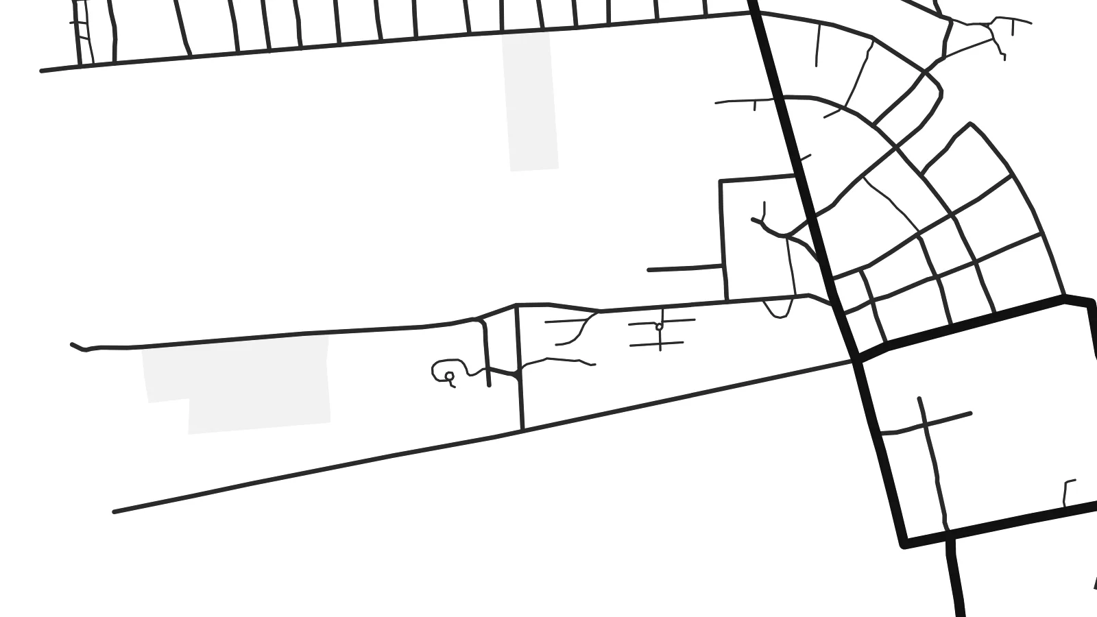
Dan huwa qtugħ ta' 100% mill-fajl tal-istampar reali. Kull poster — stampat, inkurnat jew iddawnlowdjat — jiġi ġġenerat fuq is-servers tagħna b'300 DPI, sa 7,200 × 10,800 pixel, biex saħansitra l-iżgħar toroq jibqgħu ċari fuq stampa ta' 24 × 36″.
Fuq il-ħajt


Il-mappa
Binga is in Mongala Province in the north of the Democratic Republic of the Congo, deep in the equatorial forest of the Congo Basin. On a map the town reads as a cluster of streets and plots cut into a largely unbroken landscape. A few roads lead away toward other settlements in the region.
The area is associated with large oil palm plantations established during the colonial period, and that farming history shows in the surrounding land. More regular clearings and tracks appear among the forest there. Within the town, streets tend to follow simple lines, with homes and compounds gathered along them and open space between neighbourhoods.
A Binga map poster is sparse by nature, and that is its strength. The composition rests on a small network of roads and a great deal of open ground, which in monochrome creates a calm, almost abstract image. For anyone connected to the town, it is a precise and dignified way to show where it sits.
Dense equatorial vegetation surrounds the settlement on every side. The map therefore frames the town as a distinct cluster of lines set in broad, quiet empty space.
Around the town, cleared plantation land has straighter tracks and more regular divisions than natural forest. This subtle pattern becomes visible in a clean print.
A handful of roads lead out of Binga toward other settlements in Mongala. They are drawn as long single lines that give the composition its structure and direction.
Agħmlu tiegħek
Żid data, isem jew sentenza tiegħek, ibdel l-istil, id-daqs jew l-orjentazzjoni.
Il-preview b'xejn hija b'riżoluzzjoni baxxa u bil-watermark. L-istampi u l-fajls HD jiġu ġġenerati b'300 DPI, sa 7,200 × 10,800 px, mingħajr watermark.
Għaliex Binga
For people from Binga living in Kinshasa, Lisala or abroad, images of their home town can be hard to find. A map offers something exact and personal: the layout of the streets they know, set in the landscape that defines the region.
Add a title, a subtitle such as a family name or a year, and the coordinates line, then select one of five styles. The $9 download includes 300 DPI PNG and print-ready PDF files in six sizes, and printed posters are also available.
Ordna l-poster Binga| Daqs tal-istampa | Riżoluzzjoni | Fajls |
|---|---|---|
| 30 × 40 cm (11.8 × 15.7″) | 3,543 × 4,724 px | PNG · PDF |
| 29.7 × 42 cm (A3, 11.7 × 16.5″) | 3,508 × 4,961 px | PNG · PDF |
| 42 × 59.4 cm (A2, 16.5 × 23.4″) | 4,961 × 7,016 px | PNG · PDF |
| 45.7 × 61 cm (18 × 24″) | 5,400 × 7,200 px | PNG · PDF |
| 50 × 70 cm (19.7 × 27.6″) | 5,906 × 8,268 px | PNG · PDF |
| 61 × 91.4 cm (24 × 36″) | 7,200 × 10,800 px | PNG · PDF |
Għal paragun, il-preview b'xejn huwa wiesa' 900 px, għandu watermark u huwa maħsub għall-iskrins. Il-fajls HD għandhom sa 8× ir-riżoluzzjoni f'kull direzzjoni u jiġu stampati b'mod nadif fid-daqs sħiħ tal-poster.
Agħżel stil fin-naħa ta' fuq tal-paġna, imbagħad agħżel Poster Stampat — daqs u, jekk trid, kurniċa — jew Fajls Diġitali HD. Il-ħlas isir f'pass wieħed, u l-paġna tal-ordni tiegħek tiġi aġġornata malli l-ħlas jgħaddi.
Jiġi stampat fuq karta matte premium ta' 200 gsm f'wieħed minn sitt daqsijiet, minn 30 × 40 cm sa 24 × 36″. Il-posters stampati jibdew minn {printFrom}, bil-kunsinna inkluża.
Iva. Agħżel kurniċa tal-injam solidu f'iswed, abjad, ballut naturali jew injam skur. Tiġi bi ħġieġ li ma jinkisirx u lesta biex tittella'. Il-posters inkurnati jibdew minn {framedFrom}, bil-kunsinna inkluża.
Il-kunsinna hija b'xejn madwar id-dinja. Kull poster jiġi stampat mill-eqreb sieħeb tal-istampar tagħna f'aktar minn 30 pajjiż u ġeneralment jasal fi 3–7 ijiem tax-xogħol. Tista' ssegwi l-istatus u t-tracking taħt L-Ordnijiet Tiegħi.
Ibgħatilna ritratt fi żmien 14-il jum mill-kunsinna u aħna nistampawh mill-ġdid b'xejn jew nirrimborżawk.
Iva. Fl-editur ta' din il-paġna, biddel it-titlu, is-sottotitlu u l-linja tal-koordinati għal kwalunkwe ħaġa trid, u agħżel stil u daqs. L-ordnijiet stampati, inkurnati u diġitali kollha jużaw eżattament id-disinn tiegħek.
Għal $9 tikseb fajls PNG b'300 DPI u PDF lesti għall-istampar fis-sitt daqsijiet kollha, mingħajr watermark, biex tistampa kullimkien. Għadek mhux ċert? L-ewwel iddawnlowdja preview b'xejn bil-watermark.
