BR-116 and Trensurb
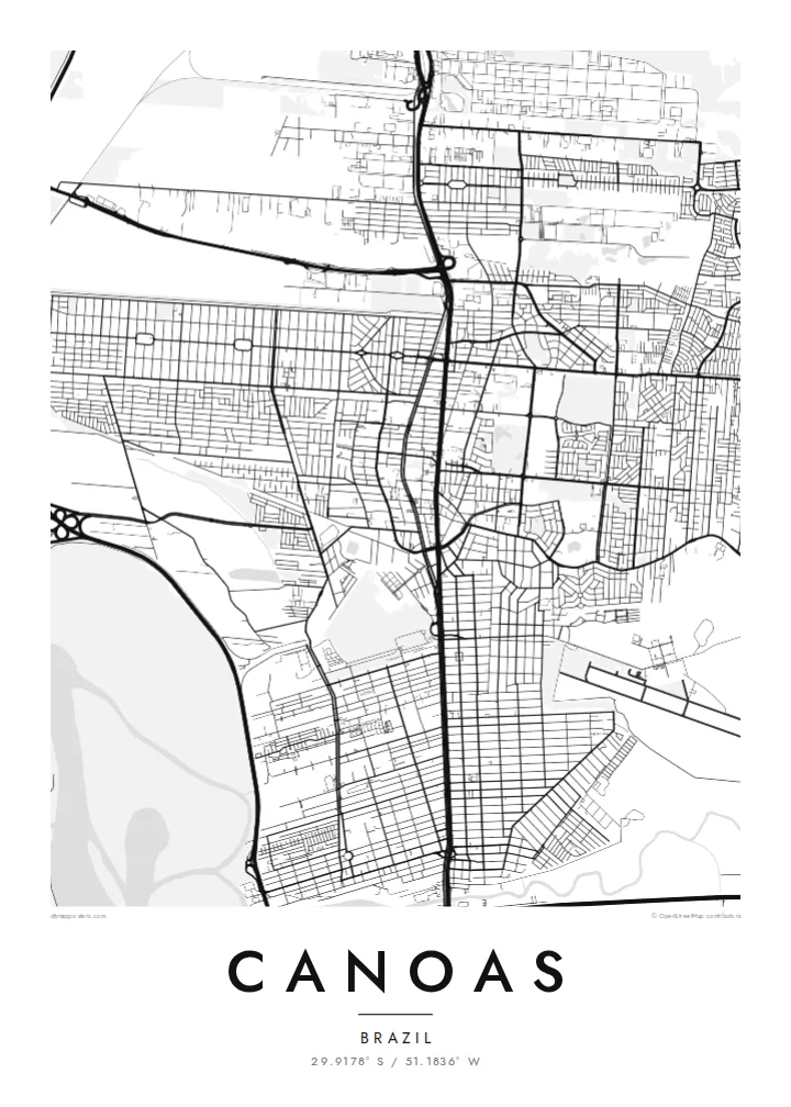
Highway and commuter rail run side by side through the city, a single strong vertical that divides Canoas into eastern and western halves.
Poster minimalist tal-mappa · Il-Brażil
29.9178° S / 51.1836° W
A flat river-plain city north of Porto Alegre, split by a highway and hemmed in by two rivers.


Belt waħda, ħames atmosferi
Agħfas fuq stil biex tarah fuq il-ħajt. Kull stil jiswa l-istess — stampat, inkurnat jew bħala fajls HD.
 Pixels reali · fajl tal-istampar 24 × 36″
Preċiż għall-istampar
Dan huwa qtugħ ta' 100% mill-fajl tal-istampar reali. Kull poster — stampat, inkurnat jew iddawnlowdjat — jiġi ġġenerat fuq is-servers tagħna b'300 DPI, sa 7,200 × 10,800 pixel, biex saħansitra l-iżgħar toroq jibqgħu ċari fuq stampa ta' 24 × 36″.
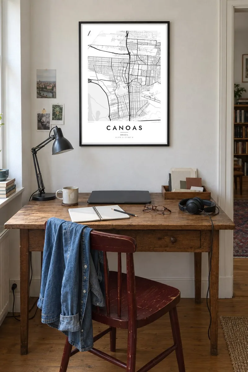
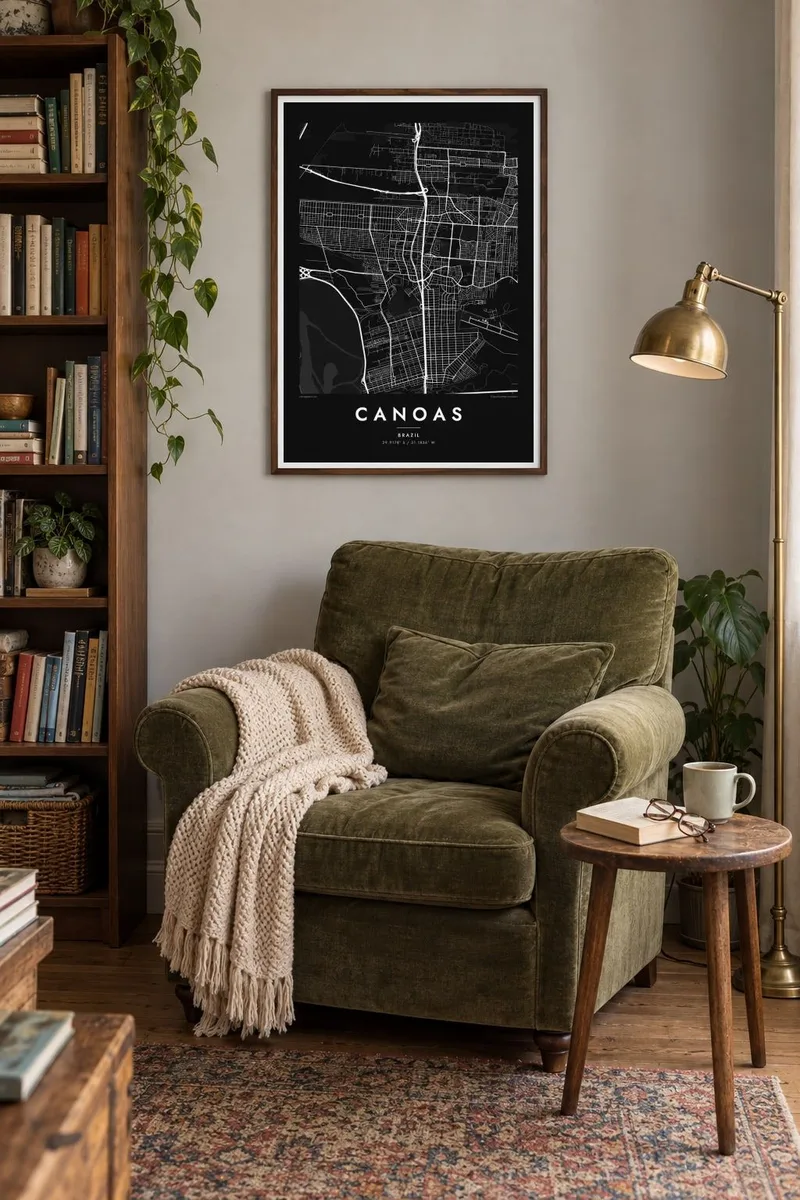
Fuq il-ħajt

Il-mappa
Canoas sits directly north of Porto Alegre in Rio Grande do Sul, and on a map the two cities almost merge. The key organising line is the BR-116 highway, which runs north to south through the middle of town with the Trensurb commuter rail beside it. Streets branch off this double spine into neighbourhoods of fairly regular blocks on either side.
The terrain is low and level. The Gravataí River bends along the southern edge and the Rio dos Sinos passes to the north, with the broad Guaíba waters not far to the west. Much of the western side lies close to river level, which is why the city was so badly affected in the 2024 Rio Grande do Sul floods, especially in the Mathias Velho district.
A Canoas map poster makes that geography easy to read: the straight transport corridor, the pale wetlands and levee lines, and the large open rectangle of the air force base that interrupts the street grid. It is a map of a working city shaped by roads, rail and water rather than by hills or an old centre.
Highway and commuter rail run side by side through the city, a single strong vertical that divides Canoas into eastern and western halves.
The Canoas air force base occupies a large open block in the urban fabric, a blank space with a runway that stands out clearly in monochrome.
The Gravataí and Sinos rivers and their floodplains surround the city, drawing soft, winding edges around the otherwise orderly street pattern.
Agħmlu tiegħek
Żid data, isem jew sentenza tiegħek, ibdel l-istil, id-daqs jew l-orjentazzjoni.
Il-preview b'xejn hija b'riżoluzzjoni baxxa u bil-watermark. L-istampi u l-fajls HD jiġu ġġenerati b'300 DPI, sa 7,200 × 10,800 px, mingħajr watermark.
Għaliex Canoas
For many families in Canoas, the map carries weight after the floods: a record of the streets and neighbourhoods as they are. Others simply want the place where they grew up, studied or started work, drawn cleanly and without clutter.
Add a personal title, subtitle and coordinates line, then choose from Classic black & white, Noir, Paper, Blueprint or Sand. The $9 digital files cover six print sizes, and printed posters ship from partners in more than 30 countries.
Ordna l-poster Canoas| Daqs tal-istampa | Riżoluzzjoni | Fajls |
|---|---|---|
| 30 × 40 cm (11.8 × 15.7″) | 3,543 × 4,724 px | PNG · PDF |
| 29.7 × 42 cm (A3, 11.7 × 16.5″) | 3,508 × 4,961 px | PNG · PDF |
| 42 × 59.4 cm (A2, 16.5 × 23.4″) | 4,961 × 7,016 px | PNG · PDF |
| 45.7 × 61 cm (18 × 24″) | 5,400 × 7,200 px | PNG · PDF |
| 50 × 70 cm (19.7 × 27.6″) | 5,906 × 8,268 px | PNG · PDF |
| 61 × 91.4 cm (24 × 36″) | 7,200 × 10,800 px | PNG · PDF |
Għal paragun, il-preview b'xejn huwa wiesa' 900 px, għandu watermark u huwa maħsub għall-iskrins. Il-fajls HD għandhom sa 8× ir-riżoluzzjoni f'kull direzzjoni u jiġu stampati b'mod nadif fid-daqs sħiħ tal-poster.
Agħżel stil fin-naħa ta' fuq tal-paġna, imbagħad agħżel Poster Stampat — daqs u, jekk trid, kurniċa — jew Fajls Diġitali HD. Il-ħlas isir f'pass wieħed, u l-paġna tal-ordni tiegħek tiġi aġġornata malli l-ħlas jgħaddi.
Jiġi stampat fuq karta matte premium ta' 200 gsm f'wieħed minn sitt daqsijiet, minn 30 × 40 cm sa 24 × 36″. Il-posters stampati jibdew minn {printFrom}, bil-kunsinna inkluża.
Iva. Agħżel kurniċa tal-injam solidu f'iswed, abjad, ballut naturali jew injam skur. Tiġi bi ħġieġ li ma jinkisirx u lesta biex tittella'. Il-posters inkurnati jibdew minn {framedFrom}, bil-kunsinna inkluża.
Il-kunsinna hija b'xejn madwar id-dinja. Kull poster jiġi stampat mill-eqreb sieħeb tal-istampar tagħna f'aktar minn 30 pajjiż u ġeneralment jasal fi 3–7 ijiem tax-xogħol. Tista' ssegwi l-istatus u t-tracking taħt L-Ordnijiet Tiegħi.
Ibgħatilna ritratt fi żmien 14-il jum mill-kunsinna u aħna nistampawh mill-ġdid b'xejn jew nirrimborżawk.
Iva. Fl-editur ta' din il-paġna, biddel it-titlu, is-sottotitlu u l-linja tal-koordinati għal kwalunkwe ħaġa trid, u agħżel stil u daqs. L-ordnijiet stampati, inkurnati u diġitali kollha jużaw eżattament id-disinn tiegħek.
Għal $9 tikseb fajls PNG b'300 DPI u PDF lesti għall-istampar fis-sitt daqsijiet kollha, mingħajr watermark, biex tistampa kullimkien. Għadek mhux ċert? L-ewwel iddawnlowdja preview b'xejn bil-watermark.
Fil-qrib
