Portoferraio harbour
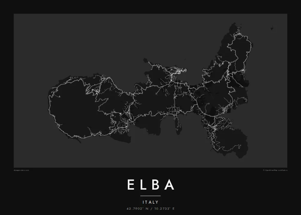
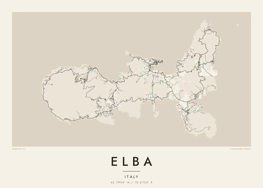
A curved bay on the north coast shelters the island's main port, and the fortified old town on its promontory is the densest street pattern on the map.
Poster minimalist tal-mappa · l-Italja
42.7902° N / 10.2733° E
A jagged Tuscan island of deep bays and headlands, with a granite peak in the west and iron mines in the east.



Belt waħda, ħames atmosferi
Agħfas fuq stil biex tarah fuq il-ħajt. Kull stil jiswa l-istess — stampat, inkurnat jew bħala fajls HD.
 Pixels reali · fajl tal-istampar 24 × 36″
Preċiż għall-istampar
Dan huwa qtugħ ta' 100% mill-fajl tal-istampar reali. Kull poster — stampat, inkurnat jew iddawnlowdjat — jiġi ġġenerat fuq is-servers tagħna b'300 DPI, sa 7,200 × 10,800 pixel, biex saħansitra l-iżgħar toroq jibqgħu ċari fuq stampa ta' 24 × 36″.
Fuq il-ħajt


Il-mappa
Elba is the largest island of the Tuscan Archipelago and the third largest in Italy, lying about ten kilometres off the mainland at Piombino. Its outline is unusually irregular, a chain of headlands and deep, rounded bays that make the coastline far longer than the island's size suggests. Monte Capanne, a granite massif, dominates the west, while the east is lower and more broken.
Portoferraio, the main town, sits on a promontory above a sheltered bay on the north coast, enclosed by fortifications laid out under the Medici in the sixteenth century. On an Elba map poster its harbour, walls and bastions form a compact, angular knot, and roads leave it to climb over the hills toward Marciana, Porto Azzurro and Capoliveri.
Napoleon was exiled to Elba in 1814 and ruled the island for about ten months before escaping to France. Long before that, its iron ore was worked by the Etruscans and the Romans, and mining continued in the east into the twentieth century. The old mine workings and the coves between them still mark the eastern shore.
A curved bay on the north coast shelters the island's main port, and the fortified old town on its promontory is the densest street pattern on the map.
The island's highest peak rises in the west, and villages sit on its lower slopes, linked by a winding road that circles the massif close to the coast.
The coastline turns in and out constantly, with wide gulfs such as those at Procchio, Lacona and Porto Azzurro, giving the poster an intricate, lace-like edge.
Agħmlu tiegħek
Żid data, isem jew sentenza tiegħek, ibdel l-istil, id-daqs jew l-orjentazzjoni.
Il-preview b'xejn hija b'riżoluzzjoni baxxa u bil-watermark. L-istampi u l-fajls HD jiġu ġġenerati b'300 DPI, sa 7,200 × 10,800 px, mingħajr watermark.
Għaliex Elba
Elba is a summer island for many Italians and a sailing destination for people from across Europe. Its intricate coastline gives the poster a great deal to look at, and the whole island fits comfortably in a single frame.
Add a title, a subtitle for the year of a summer or the name of a bay, and your own coordinates line. Five styles are available, with Paper and Sand for a warmer print and Blueprint for a nautical feel. The $9 files cover six print sizes.
Ordna l-poster Elba| Daqs tal-istampa | Riżoluzzjoni | Fajls |
|---|---|---|
| 30 × 40 cm (11.8 × 15.7″) | 3,543 × 4,724 px | PNG · PDF |
| 29.7 × 42 cm (A3, 11.7 × 16.5″) | 3,508 × 4,961 px | PNG · PDF |
| 42 × 59.4 cm (A2, 16.5 × 23.4″) | 4,961 × 7,016 px | PNG · PDF |
| 45.7 × 61 cm (18 × 24″) | 5,400 × 7,200 px | PNG · PDF |
| 50 × 70 cm (19.7 × 27.6″) | 5,906 × 8,268 px | PNG · PDF |
| 61 × 91.4 cm (24 × 36″) | 7,200 × 10,800 px | PNG · PDF |
Għal paragun, il-preview b'xejn huwa wiesa' 900 px, għandu watermark u huwa maħsub għall-iskrins. Il-fajls HD għandhom sa 8× ir-riżoluzzjoni f'kull direzzjoni u jiġu stampati b'mod nadif fid-daqs sħiħ tal-poster.
Agħżel stil fin-naħa ta' fuq tal-paġna, imbagħad agħżel Poster Stampat — daqs u, jekk trid, kurniċa — jew Fajls Diġitali HD. Il-ħlas isir f'pass wieħed, u l-paġna tal-ordni tiegħek tiġi aġġornata malli l-ħlas jgħaddi.
Jiġi stampat fuq karta matte premium ta' 200 gsm f'wieħed minn sitt daqsijiet, minn 30 × 40 cm sa 24 × 36″. Il-posters stampati jibdew minn {printFrom}, bil-kunsinna inkluża.
Iva. Agħżel kurniċa tal-injam solidu f'iswed, abjad, ballut naturali jew injam skur. Tiġi bi ħġieġ li ma jinkisirx u lesta biex tittella'. Il-posters inkurnati jibdew minn {framedFrom}, bil-kunsinna inkluża.
Il-kunsinna hija b'xejn madwar id-dinja. Kull poster jiġi stampat mill-eqreb sieħeb tal-istampar tagħna f'aktar minn 30 pajjiż u ġeneralment jasal fi 3–7 ijiem tax-xogħol. Tista' ssegwi l-istatus u t-tracking taħt L-Ordnijiet Tiegħi.
Ibgħatilna ritratt fi żmien 14-il jum mill-kunsinna u aħna nistampawh mill-ġdid b'xejn jew nirrimborżawk.
Iva. Fl-editur ta' din il-paġna, biddel it-titlu, is-sottotitlu u l-linja tal-koordinati għal kwalunkwe ħaġa trid, u agħżel stil u daqs. L-ordnijiet stampati, inkurnati u diġitali kollha jużaw eżattament id-disinn tiegħek.
Għal $9 tikseb fajls PNG b'300 DPI u PDF lesti għall-istampar fis-sitt daqsijiet kollha, mingħajr watermark, biex tistampa kullimkien. Għadek mhux ċert? L-ewwel iddawnlowdja preview b'xejn bil-watermark.
