Lagoon runway
The airport runway stretches along reclaimed reef land at the water's edge, a bold straight line that defines the entire coastal side of the commune.
Poster minimalist tal-mappa · Polineżja Franċiża
17.5593° S / 149.6035° W
A coastal commune on Tahiti's northwest shore, where the airport runway runs along the lagoon beneath steep green valleys
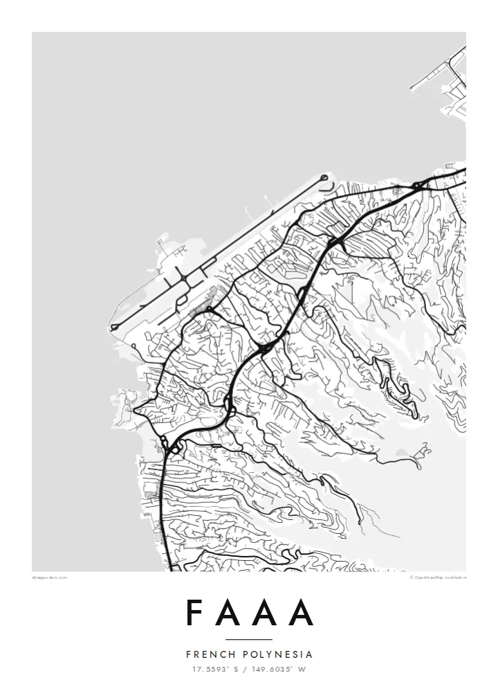

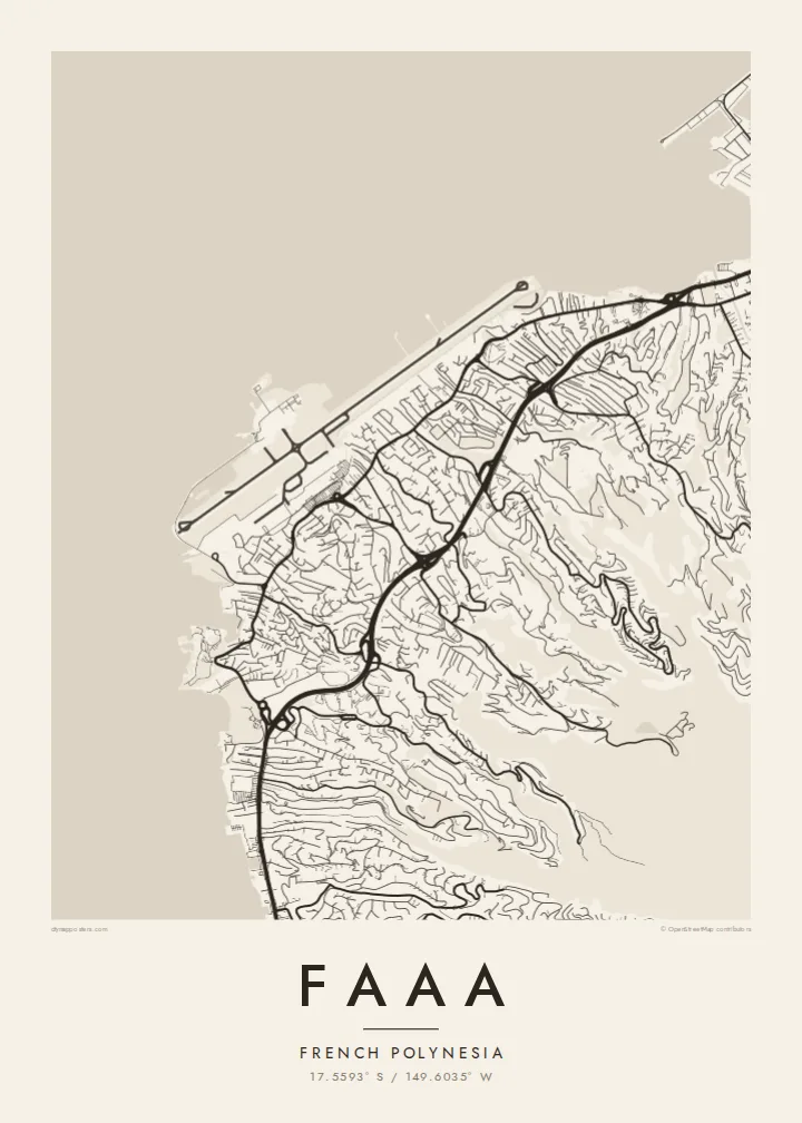

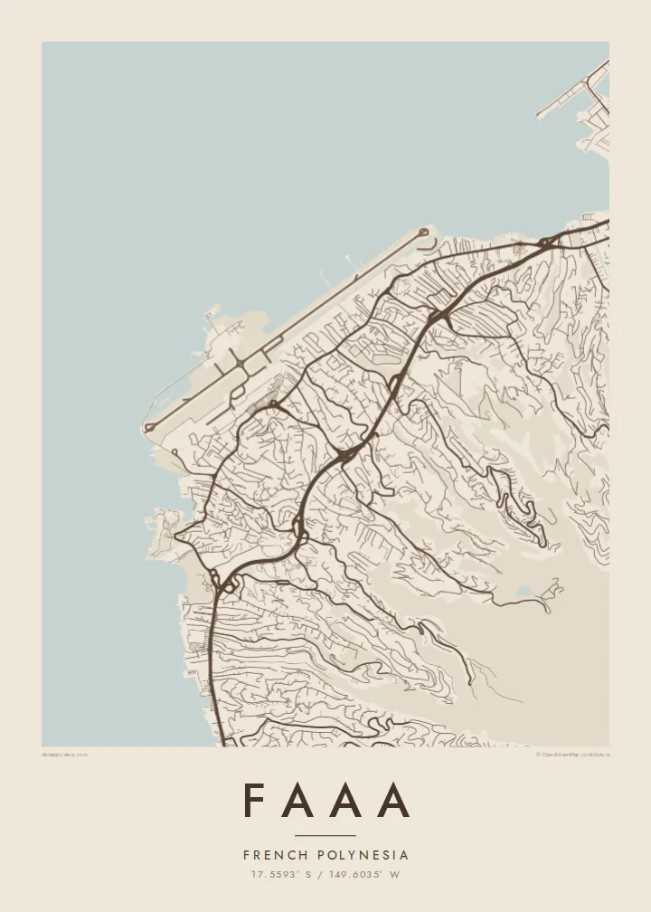
Belt waħda, ħames atmosferi
Agħfas fuq stil biex tarah fuq il-ħajt. Kull stil jiswa l-istess — stampat, inkurnat jew bħala fajls HD.
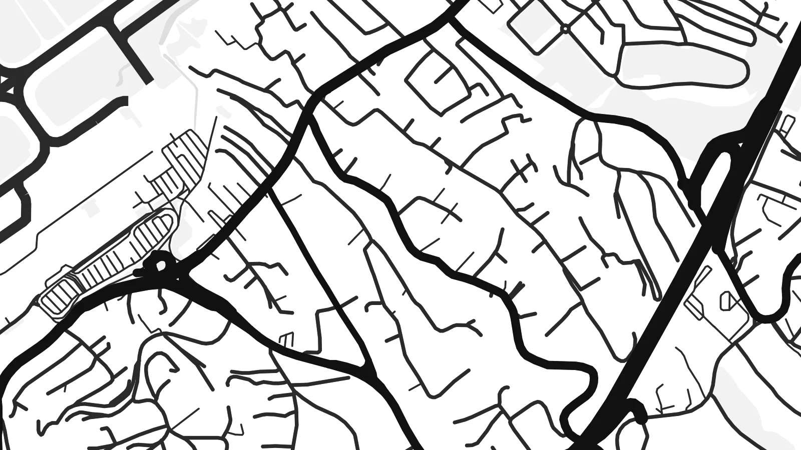 Pixels reali · fajl tal-istampar 24 × 36″
Preċiż għall-istampar
Dan huwa qtugħ ta' 100% mill-fajl tal-istampar reali. Kull poster — stampat, inkurnat jew iddawnlowdjat — jiġi ġġenerat fuq is-servers tagħna b'300 DPI, sa 7,200 × 10,800 pixel, biex saħansitra l-iżgħar toroq jibqgħu ċari fuq stampa ta' 24 × 36″.
Fuq il-ħajt


Il-mappa
Faaa is the most populous commune in French Polynesia, spread along the northwest coast of Tahiti just west of Papeete. Its map is shaped by a narrow coastal strip and the mountains behind it: roads and houses crowd the flat land by the lagoon, then climb in thin, winding lines up the ridges and into the valleys that cut into the island.
The dominant feature is Faa'a International Airport, the main gateway to French Polynesia. Its runway was built largely on land reclaimed from the reef, so on a map it appears as a long, straight shape laid along the shoreline, with the lagoon on one side and the town on the other. Few places show a runway so tightly bound to the coast.
Beyond the reef, the open Pacific fills much of the frame, and to the west, across the channel, lies Moorea. A Faaa map poster balances water and land in an unusual way, with the coastline, reef edge and airport forming a strong horizontal band beneath the fine, branching roads of the hills.
The airport runway stretches along reclaimed reef land at the water's edge, a bold straight line that defines the entire coastal side of the commune.
Narrow roads climb from the coast into steep valleys and along ridges, branching into short lanes that end where the slopes become too steep to build.
The main road around Tahiti follows the shoreline through Faaa, linking it to Papeete and the west coast in one continuous line.
Agħmlu tiegħek
Żid data, isem jew sentenza tiegħek, ibdel l-istil, id-daqs jew l-orjentazzjoni.
Il-preview b'xejn hija b'riżoluzzjoni baxxa u bil-watermark. L-istampi u l-fajls HD jiġu ġġenerati b'300 DPI, sa 7,200 × 10,800 px, mingħajr watermark.
Għaliex Faaa
For many travellers, Faaa is the first and last place they see in French Polynesia, and for residents it is simply home. The map captures the point where island, lagoon and runway meet, a memorable image for either.
Personalise the title and subtitle, for example with a wedding or arrival date, and keep the exact coordinates. Pick one of five styles, such as Blueprint for the lagoon or Sand for a softer tone, then download the HD files or order a printed poster.
Ordna l-poster Faaa| Daqs tal-istampa | Riżoluzzjoni | Fajls |
|---|---|---|
| 30 × 40 cm (11.8 × 15.7″) | 3,543 × 4,724 px | PNG · PDF |
| 29.7 × 42 cm (A3, 11.7 × 16.5″) | 3,508 × 4,961 px | PNG · PDF |
| 42 × 59.4 cm (A2, 16.5 × 23.4″) | 4,961 × 7,016 px | PNG · PDF |
| 45.7 × 61 cm (18 × 24″) | 5,400 × 7,200 px | PNG · PDF |
| 50 × 70 cm (19.7 × 27.6″) | 5,906 × 8,268 px | PNG · PDF |
| 61 × 91.4 cm (24 × 36″) | 7,200 × 10,800 px | PNG · PDF |
Għal paragun, il-preview b'xejn huwa wiesa' 900 px, għandu watermark u huwa maħsub għall-iskrins. Il-fajls HD għandhom sa 8× ir-riżoluzzjoni f'kull direzzjoni u jiġu stampati b'mod nadif fid-daqs sħiħ tal-poster.
Agħżel stil fin-naħa ta' fuq tal-paġna, imbagħad agħżel Poster Stampat — daqs u, jekk trid, kurniċa — jew Fajls Diġitali HD. Il-ħlas isir f'pass wieħed, u l-paġna tal-ordni tiegħek tiġi aġġornata malli l-ħlas jgħaddi.
Jiġi stampat fuq karta matte premium ta' 200 gsm f'wieħed minn sitt daqsijiet, minn 30 × 40 cm sa 24 × 36″. Il-posters stampati jibdew minn {printFrom}, bil-kunsinna inkluża.
Iva. Agħżel kurniċa tal-injam solidu f'iswed, abjad, ballut naturali jew injam skur. Tiġi bi ħġieġ li ma jinkisirx u lesta biex tittella'. Il-posters inkurnati jibdew minn {framedFrom}, bil-kunsinna inkluża.
Il-kunsinna hija b'xejn madwar id-dinja. Kull poster jiġi stampat mill-eqreb sieħeb tal-istampar tagħna f'aktar minn 30 pajjiż u ġeneralment jasal fi 3–7 ijiem tax-xogħol. Tista' ssegwi l-istatus u t-tracking taħt L-Ordnijiet Tiegħi.
Ibgħatilna ritratt fi żmien 14-il jum mill-kunsinna u aħna nistampawh mill-ġdid b'xejn jew nirrimborżawk.
Iva. Fl-editur ta' din il-paġna, biddel it-titlu, is-sottotitlu u l-linja tal-koordinati għal kwalunkwe ħaġa trid, u agħżel stil u daqs. L-ordnijiet stampati, inkurnati u diġitali kollha jużaw eżattament id-disinn tiegħek.
Għal $9 tikseb fajls PNG b'300 DPI u PDF lesti għall-istampar fis-sitt daqsijiet kollha, mingħajr watermark, biex tistampa kullimkien. Għadek mhux ċert? L-ewwel iddawnlowdja preview b'xejn bil-watermark.
