Alborz foothills
Forested slopes rise immediately south of the city, creating a strong natural boundary and a clear contrast with the flat urban area below.
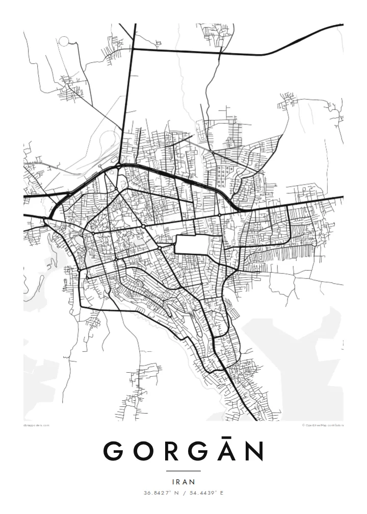
Poster minimalist tal-mappa · l-Iran
36.8427° N / 54.4439° E
A city on the edge of the Caspian lowlands, with forested mountain slopes rising directly to its south.

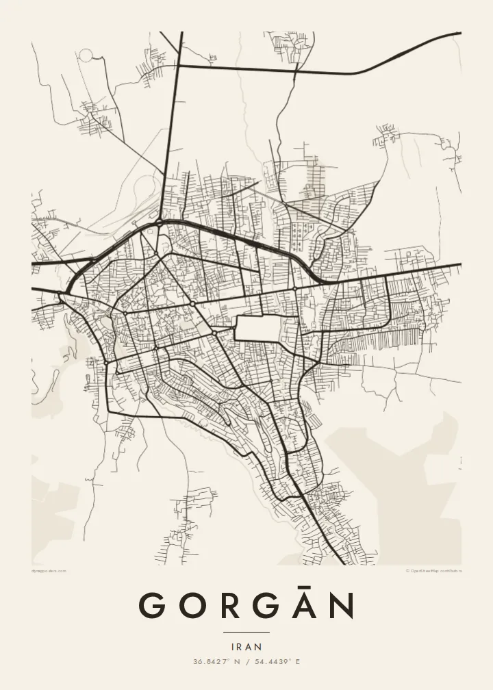


Belt waħda, ħames atmosferi
Agħfas fuq stil biex tarah fuq il-ħajt. Kull stil jiswa l-istess — stampat, inkurnat jew bħala fajls HD.
 Pixels reali · fajl tal-istampar 24 × 36″
Preċiż għall-istampar
Dan huwa qtugħ ta' 100% mill-fajl tal-istampar reali. Kull poster — stampat, inkurnat jew iddawnlowdjat — jiġi ġġenerat fuq is-servers tagħna b'300 DPI, sa 7,200 × 10,800 pixel, biex saħansitra l-iżgħar toroq jibqgħu ċari fuq stampa ta' 24 × 36″.
Fuq il-ħajt


Il-mappa
Gorgān is the capital of Golestan province in northern Iran. It lies where the flat, fertile plain running toward the Caspian Sea meets the northern foothills of the Alborz mountains. From above, the city spreads across the plain in a broad pattern of streets. Its southern edge is sharply defined by wooded slopes that climb steeply into the mountains.
For centuries the city was called Astarabad. In 1937 it took the name Gorgan, reviving the name of an older city in the region. Its older quarters, with narrow lanes and traditional houses, lie near the centre. Around them are newer districts built along wide avenues and roundabouts that connect the city to the rest of the province.
South of the city, forest parks cover the lower slopes of the Alborz and are popular for walks and weekend outings. To the north and east, the plains open toward the Turkmen steppe. A Gorgān map poster captures this meeting of lowland and mountain, where the dense city grid runs straight into the green ridges above.
Forested slopes rise immediately south of the city, creating a strong natural boundary and a clear contrast with the flat urban area below.
The oldest part of the city, once known as Astarabad, is made up of narrow, irregular lanes that stand out against the more regular newer districts.
Farmland stretches away to the north and west toward the Caspian coast, giving the map a quiet, open background on the lowland side.
Agħmlu tiegħek
Żid data, isem jew sentenza tiegħek, ibdel l-istil, id-daqs jew l-orjentazzjoni.
Il-preview b'xejn hija b'riżoluzzjoni baxxa u bil-watermark. L-istampi u l-fajls HD jiġu ġġenerati b'300 DPI, sa 7,200 × 10,800 px, mingħajr watermark.
Għaliex Gorgān
Gorgān suits people from Golestan, members of the Iranian diaspora with family in the north and anyone drawn to cities where mountains and plains meet. The layout gives the print a clear sense of direction.
Change the title, subtitle and coordinates line to include the Persian name, a date or a family message. Choose Classic black & white, Noir, Paper, Blueprint or Sand, as a digital file or a printed poster.
Ordna l-poster Gorgān| Daqs tal-istampa | Riżoluzzjoni | Fajls |
|---|---|---|
| 30 × 40 cm (11.8 × 15.7″) | 3,543 × 4,724 px | PNG · PDF |
| 29.7 × 42 cm (A3, 11.7 × 16.5″) | 3,508 × 4,961 px | PNG · PDF |
| 42 × 59.4 cm (A2, 16.5 × 23.4″) | 4,961 × 7,016 px | PNG · PDF |
| 45.7 × 61 cm (18 × 24″) | 5,400 × 7,200 px | PNG · PDF |
| 50 × 70 cm (19.7 × 27.6″) | 5,906 × 8,268 px | PNG · PDF |
| 61 × 91.4 cm (24 × 36″) | 7,200 × 10,800 px | PNG · PDF |
Għal paragun, il-preview b'xejn huwa wiesa' 900 px, għandu watermark u huwa maħsub għall-iskrins. Il-fajls HD għandhom sa 8× ir-riżoluzzjoni f'kull direzzjoni u jiġu stampati b'mod nadif fid-daqs sħiħ tal-poster.
Agħżel stil fin-naħa ta' fuq tal-paġna, imbagħad agħżel Poster Stampat — daqs u, jekk trid, kurniċa — jew Fajls Diġitali HD. Il-ħlas isir f'pass wieħed, u l-paġna tal-ordni tiegħek tiġi aġġornata malli l-ħlas jgħaddi.
Jiġi stampat fuq karta matte premium ta' 200 gsm f'wieħed minn sitt daqsijiet, minn 30 × 40 cm sa 24 × 36″. Il-posters stampati jibdew minn {printFrom}, bil-kunsinna inkluża.
Iva. Agħżel kurniċa tal-injam solidu f'iswed, abjad, ballut naturali jew injam skur. Tiġi bi ħġieġ li ma jinkisirx u lesta biex tittella'. Il-posters inkurnati jibdew minn {framedFrom}, bil-kunsinna inkluża.
Il-kunsinna hija b'xejn madwar id-dinja. Kull poster jiġi stampat mill-eqreb sieħeb tal-istampar tagħna f'aktar minn 30 pajjiż u ġeneralment jasal fi 3–7 ijiem tax-xogħol. Tista' ssegwi l-istatus u t-tracking taħt L-Ordnijiet Tiegħi.
Ibgħatilna ritratt fi żmien 14-il jum mill-kunsinna u aħna nistampawh mill-ġdid b'xejn jew nirrimborżawk.
Iva. Fl-editur ta' din il-paġna, biddel it-titlu, is-sottotitlu u l-linja tal-koordinati għal kwalunkwe ħaġa trid, u agħżel stil u daqs. L-ordnijiet stampati, inkurnati u diġitali kollha jużaw eżattament id-disinn tiegħek.
Għal $9 tikseb fajls PNG b'300 DPI u PDF lesti għall-istampar fis-sitt daqsijiet kollha, mingħajr watermark, biex tistampa kullimkien. Għadek mhux ċert? L-ewwel iddawnlowdja preview b'xejn bil-watermark.
