Confluence of rivers
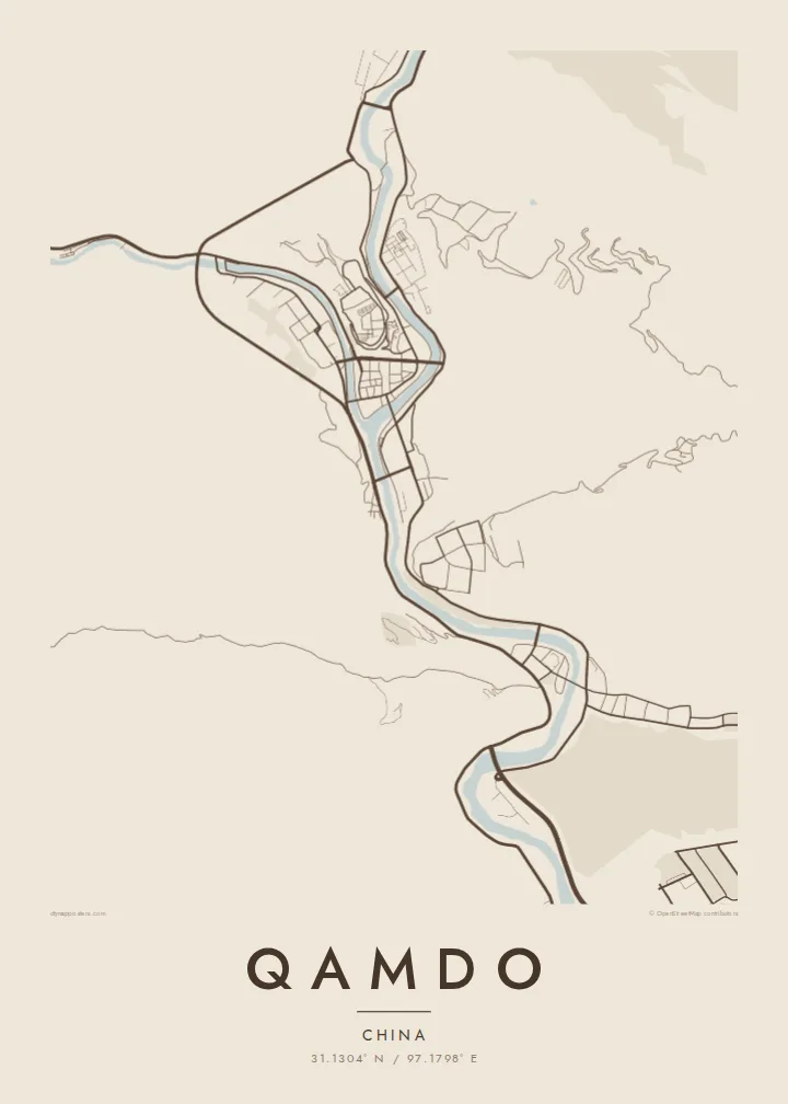
The Dza Chu and Ngom Chu meet at the heart of the town. Their joined channel heads south as the Lancang, and the fork gives the map its clear Y-shaped outline.
Poster minimalist tal-mappa · iċ-Ċina
31.1304° N / 97.1798° E
A narrow wedge of streets where two mountain rivers meet and join to form the upper Mekong, walled in by steep slopes


Belt waħda, ħames atmosferi
Agħfas fuq stil biex tarah fuq il-ħajt. Kull stil jiswa l-istess — stampat, inkurnat jew bħala fajls HD.
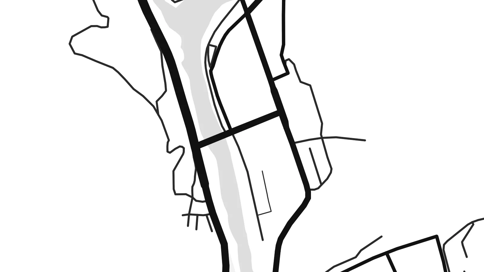 Pixels reali · fajl tal-istampar 24 × 36″
Preċiż għall-istampar
Dan huwa qtugħ ta' 100% mill-fajl tal-istampar reali. Kull poster — stampat, inkurnat jew iddawnlowdjat — jiġi ġġenerat fuq is-servers tagħna b'300 DPI, sa 7,200 × 10,800 pixel, biex saħansitra l-iżgħar toroq jibqgħu ċari fuq stampa ta' 24 × 36″.
Fuq il-ħajt


Il-mappa
Seen from above, Qamdo sits on a point of land in eastern Tibet, at the spot where two rivers, the Dza Chu and the Ngom Chu, flow together. Below the junction they carry on as the Lancang, the name the upper Mekong takes in China. The town fills the flat ground at the confluence and follows both valleys upstream, so its street plan looks like a letter Y cut into the mountains.
The terrain sets the shape of the city more than any plan does. The valley floors are narrow, and the slopes rise sharply on every side, so buildings line the riverbanks in long bands and the roads bend with the water. Bridges link the neighbourhoods on the far banks back to the central point. On a Qamdo map poster the rivers stay in clear view, and the blank hillsides around them read as open space.
Qamdo has long been one of the main towns of the Kham region and a stop on the old routes between Tibet and Sichuan and Yunnan. On a terrace above the confluence stands Qamdo Monastery, a large Gelug monastery founded in the fifteenth century, which still shapes the skyline. The town lies at roughly 3,200 metres, and that height matters in every valley and slope you see on the map.
The Dza Chu and Ngom Chu meet at the heart of the town. Their joined channel heads south as the Lancang, and the fork gives the map its clear Y-shaped outline.
Qamdo Monastery sits on raised ground between the two rivers, above the central streets. Its large compound shows up on the map as a distinct block at the top of the confluence.
Steep slopes hem the town in, so its roads run in long, curving lines beside the rivers. Bridges cross the water at intervals and tie the separate banks into one town.
Agħmlu tiegħek
Żid data, isem jew sentenza tiegħek, ibdel l-istil, id-daqs jew l-orjentazzjoni.
Il-preview b'xejn hija b'riżoluzzjoni baxxa u bil-watermark. L-istampi u l-fajls HD jiġu ġġenerati b'300 DPI, sa 7,200 × 10,800 px, mingħajr watermark.
Għaliex Qamdo
Qamdo appeals to people who have made the long overland journey through Kham, or to anyone who grew up in these valleys. Where rivers meet in the mountains, the map has a strong outline, and in black and white it reads almost like a drawing of how the water runs.
You can personalise the poster with your own title, subtitle and coordinates line, perhaps the date you crossed a pass or first reached the town. Choose from five styles: Classic black & white, Noir, Paper, Blueprint or Sand. Get HD files for $9, or order a matte print with an optional wooden frame.
Ordna l-poster Qamdo| Daqs tal-istampa | Riżoluzzjoni | Fajls |
|---|---|---|
| 30 × 40 cm (11.8 × 15.7″) | 3,543 × 4,724 px | PNG · PDF |
| 29.7 × 42 cm (A3, 11.7 × 16.5″) | 3,508 × 4,961 px | PNG · PDF |
| 42 × 59.4 cm (A2, 16.5 × 23.4″) | 4,961 × 7,016 px | PNG · PDF |
| 45.7 × 61 cm (18 × 24″) | 5,400 × 7,200 px | PNG · PDF |
| 50 × 70 cm (19.7 × 27.6″) | 5,906 × 8,268 px | PNG · PDF |
| 61 × 91.4 cm (24 × 36″) | 7,200 × 10,800 px | PNG · PDF |
Għal paragun, il-preview b'xejn huwa wiesa' 900 px, għandu watermark u huwa maħsub għall-iskrins. Il-fajls HD għandhom sa 8× ir-riżoluzzjoni f'kull direzzjoni u jiġu stampati b'mod nadif fid-daqs sħiħ tal-poster.
Agħżel stil fin-naħa ta' fuq tal-paġna, imbagħad agħżel Poster Stampat — daqs u, jekk trid, kurniċa — jew Fajls Diġitali HD. Il-ħlas isir f'pass wieħed, u l-paġna tal-ordni tiegħek tiġi aġġornata malli l-ħlas jgħaddi.
Jiġi stampat fuq karta matte premium ta' 200 gsm f'wieħed minn sitt daqsijiet, minn 30 × 40 cm sa 24 × 36″. Il-posters stampati jibdew minn {printFrom}, bil-kunsinna inkluża.
Iva. Agħżel kurniċa tal-injam solidu f'iswed, abjad, ballut naturali jew injam skur. Tiġi bi ħġieġ li ma jinkisirx u lesta biex tittella'. Il-posters inkurnati jibdew minn {framedFrom}, bil-kunsinna inkluża.
L-ispedizzjoni hija b'xejn mad-dinja kollha. Kull poster jiġi stampat mill-eqreb wieħed mis-sieħba tal-istampar tagħna f'aktar minn 30 pajjiż u normalment jaslilek fi 3–7 ijiem tax-xogħol. Tista' tsegwi l-istatus u t-traċċar taħt L-Ordnijiet Tiegħi. Xi pajjiżi jieħdu 2–5 ġimgħat, u fejn għadna ma nispedixxux, is-sit jgħidlek qabel ma tħallas.
Ibgħatilna ritratt fi żmien 14-il jum mill-kunsinna u aħna nistampawh mill-ġdid b'xejn jew nirrimborżawk.
Iva. Fl-editur ta' din il-paġna, biddel it-titlu, is-sottotitlu u l-linja tal-koordinati għal kwalunkwe ħaġa trid, u agħżel stil u daqs. L-ordnijiet stampati, inkurnati u diġitali kollha jużaw eżattament id-disinn tiegħek.
Għal $9 tikseb fajls PNG b'300 DPI u PDF lesti għall-istampar fis-sitt daqsijiet kollha, mingħajr watermark, biex tistampa kullimkien. Għadek mhux ċert? L-ewwel iddawnlowdja preview b'xejn bil-watermark.
