Island old town
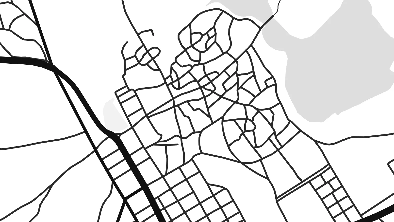
The historic town fills a compact, rounded island, and even as ruins its lanes and building plots show as a dense pattern inside a clean coastal outline.
Poster minimalist tal-mappa · is-Sudan
19.1059° N / 37.3321° E
A round coral-stone island in a sheltered Red Sea inlet, tied to the mainland town by a single narrow causeway.


Belt waħda, ħames atmosferi
Agħfas fuq stil biex tarah fuq il-ħajt. Kull stil jiswa l-istess — stampat, inkurnat jew bħala fajls HD.
 Pixels reali · fajl tal-istampar 24 × 36″
Preċiż għall-istampar
Dan huwa qtugħ ta' 100% mill-fajl tal-istampar reali. Kull poster — stampat, inkurnat jew iddawnlowdjat — jiġi ġġenerat fuq is-servers tagħna b'300 DPI, sa 7,200 × 10,800 pixel, biex saħansitra l-iżgħar toroq jibqgħu ċari fuq stampa ta' 24 × 36″.
Fuq il-ħajt


Il-mappa
Few towns have as striking a shape from above as Suakin. The old town occupies a small, almost circular island set inside a narrow inlet of the Red Sea coast, with the channel to open water curling past it. A causeway links the island to the mainland, where the newer settlement spreads out along the shore.
For centuries Suakin was one of the main ports of the Red Sea, trading across to Arabia and serving pilgrims travelling to Jeddah on the way to Mecca. Its houses were built from blocks of coral stone. After Port Sudan was developed further north in the early twentieth century, trade moved away, and much of the island town fell into ruin.
A Suakin map poster makes the most of that geography. The island sits like a small seal within the inlet, the causeway draws a short, decisive line to the land, and the coastline frames everything with long, clean curves. It is an image of a place shaped entirely by its relationship with the sea.
The historic town fills a compact, rounded island, and even as ruins its lanes and building plots show as a dense pattern inside a clean coastal outline.
A narrow causeway connects the island to the mainland, a short straight stroke on the map that ties the old port to the settlement on shore.
The island sits within a winding inlet that opens to the Red Sea, giving the composition a strong sweep of water around its centre.
Agħmlu tiegħek
Żid data, isem jew sentenza tiegħek, ibdel l-istil, id-daqs jew l-orjentazzjoni.
Il-preview b'xejn hija b'riżoluzzjoni baxxa u bil-watermark. L-istampi u l-fajls HD jiġu ġġenerati b'300 DPI, sa 7,200 × 10,800 px, mingħajr watermark.
Għaliex Suakin
Suakin appeals to anyone drawn to old trade routes, coastal architecture or the history of the Red Sea. Its island shape works beautifully as a graphic print, and it rewards a close look as much as a glance from across the room.
You can personalise the title, subtitle and coordinates line and choose from Classic black & white, Noir, Paper, Blueprint or Sand. A free 900 px preview lets you check the layout, and the $9 HD download or a matte print completes it.
Ordna l-poster Suakin| Daqs tal-istampa | Riżoluzzjoni | Fajls |
|---|---|---|
| 30 × 40 cm (11.8 × 15.7″) | 3,543 × 4,724 px | PNG · PDF |
| 29.7 × 42 cm (A3, 11.7 × 16.5″) | 3,508 × 4,961 px | PNG · PDF |
| 42 × 59.4 cm (A2, 16.5 × 23.4″) | 4,961 × 7,016 px | PNG · PDF |
| 45.7 × 61 cm (18 × 24″) | 5,400 × 7,200 px | PNG · PDF |
| 50 × 70 cm (19.7 × 27.6″) | 5,906 × 8,268 px | PNG · PDF |
| 61 × 91.4 cm (24 × 36″) | 7,200 × 10,800 px | PNG · PDF |
Għal paragun, il-preview b'xejn huwa wiesa' 900 px, għandu watermark u huwa maħsub għall-iskrins. Il-fajls HD għandhom sa 8× ir-riżoluzzjoni f'kull direzzjoni u jiġu stampati b'mod nadif fid-daqs sħiħ tal-poster.
Agħżel stil fin-naħa ta' fuq tal-paġna, imbagħad agħżel Poster Stampat — daqs u, jekk trid, kurniċa — jew Fajls Diġitali HD. Il-ħlas isir f'pass wieħed, u l-paġna tal-ordni tiegħek tiġi aġġornata malli l-ħlas jgħaddi.
Jiġi stampat fuq karta matte premium ta' 200 gsm f'wieħed minn sitt daqsijiet, minn 30 × 40 cm sa 24 × 36″. Il-posters stampati jibdew minn {printFrom}, bil-kunsinna inkluża.
Iva. Agħżel kurniċa tal-injam solidu f'iswed, abjad, ballut naturali jew injam skur. Tiġi bi ħġieġ li ma jinkisirx u lesta biex tittella'. Il-posters inkurnati jibdew minn {framedFrom}, bil-kunsinna inkluża.
Il-kunsinna hija b'xejn madwar id-dinja. Kull poster jiġi stampat mill-eqreb sieħeb tal-istampar tagħna f'aktar minn 30 pajjiż u ġeneralment jasal fi 3–7 ijiem tax-xogħol. Tista' ssegwi l-istatus u t-tracking taħt L-Ordnijiet Tiegħi.
Ibgħatilna ritratt fi żmien 14-il jum mill-kunsinna u aħna nistampawh mill-ġdid b'xejn jew nirrimborżawk.
Iva. Fl-editur ta' din il-paġna, biddel it-titlu, is-sottotitlu u l-linja tal-koordinati għal kwalunkwe ħaġa trid, u agħżel stil u daqs. L-ordnijiet stampati, inkurnati u diġitali kollha jużaw eżattament id-disinn tiegħek.
Għal $9 tikseb fajls PNG b'300 DPI u PDF lesti għall-istampar fis-sitt daqsijiet kollha, mingħajr watermark, biex tistampa kullimkien. Għadek mhux ċert? L-ewwel iddawnlowdja preview b'xejn bil-watermark.
