Bridge to the mainland
A short road bridge crosses the narrow strait near Privlaka, a single clean line tying the island to Dalmatia and the natural anchor of any composition.
Poster minimalist tal-mappa · il-Kroazja
44.3044° N / 15.0765° E
A low Adriatic island tied to the mainland by one short bridge, its edge scalloped by shallow coves.


Belt waħda, ħames atmosferi
Agħfas fuq stil biex tarah fuq il-ħajt. Kull stil jiswa l-istess — stampat, inkurnat jew bħala fajls HD.
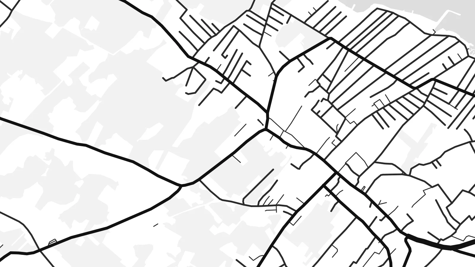 Pixels reali · fajl tal-istampar 24 × 36″
Preċiż għall-istampar
Dan huwa qtugħ ta' 100% mill-fajl tal-istampar reali. Kull poster — stampat, inkurnat jew iddawnlowdjat — jiġi ġġenerat fuq is-servers tagħna b'300 DPI, sa 7,200 × 10,800 pixel, biex saħansitra l-iżgħar toroq jibqgħu ċari fuq stampa ta' 24 × 36″.
Fuq il-ħajt


Il-mappa
Vir lies in northern Dalmatia, a short drive north of Zadar, and is one of the few Croatian islands you can reach by car: a bridge crosses the narrow strait from the mainland near Privlaka. From above the island is low and fairly compact, with an indented coastline of shallow bays and small rocky points rather than steep cliffs.
Its map is shaped by summer life. Holiday houses spread across much of the island in a loose, fine-grained pattern of lanes, thickest around Vir village and along the shore, while the higher ground stays more open, with scrub and pasture. Small harbours and swimming coves punctuate the edge all the way round.
A Vir map poster captures a place that feels close to the mainland yet distinctly separate, with the bridge as the single thread joining the two. Around it the channel and the mainland shore frame the composition in open water, and the dense web of lanes gives the island a texture quite unlike its emptier neighbours.
A short road bridge crosses the narrow strait near Privlaka, a single clean line tying the island to Dalmatia and the natural anchor of any composition.
Holiday homes have filled much of the island with small streets and cul-de-sacs, drawn as a fine web that thins out toward the less built-up interior.
Low, rocky points alternate with shallow coves all around the island, giving the outline a soft, scalloped edge that reads beautifully in thin black line.
Agħmlu tiegħek
Żid data, isem jew sentenza tiegħek, ibdel l-istil, id-daqs jew l-orjentazzjoni.
Il-preview b'xejn hija b'riżoluzzjoni baxxa u bil-watermark. L-istampi u l-fajls HD jiġu ġġenerati b'300 DPI, sa 7,200 × 10,800 px, mingħajr watermark.
Għaliex Vir
Vir is a place people return to summer after summer, often to a family house, so the map works as a record of those seasons. It suits anyone who knows the drive over the bridge and the first swim of the year.
Use a family name as the title, add the year you first came or the coordinates of the house, and pick Classic black & white, Noir, Paper, Blueprint or Sand. Sand and Paper echo the pale stone of the Dalmatian coast.
Ordna l-poster Vir| Daqs tal-istampa | Riżoluzzjoni | Fajls |
|---|---|---|
| 30 × 40 cm (11.8 × 15.7″) | 3,543 × 4,724 px | PNG · PDF |
| 29.7 × 42 cm (A3, 11.7 × 16.5″) | 3,508 × 4,961 px | PNG · PDF |
| 42 × 59.4 cm (A2, 16.5 × 23.4″) | 4,961 × 7,016 px | PNG · PDF |
| 45.7 × 61 cm (18 × 24″) | 5,400 × 7,200 px | PNG · PDF |
| 50 × 70 cm (19.7 × 27.6″) | 5,906 × 8,268 px | PNG · PDF |
| 61 × 91.4 cm (24 × 36″) | 7,200 × 10,800 px | PNG · PDF |
Għal paragun, il-preview b'xejn huwa wiesa' 900 px, għandu watermark u huwa maħsub għall-iskrins. Il-fajls HD għandhom sa 8× ir-riżoluzzjoni f'kull direzzjoni u jiġu stampati b'mod nadif fid-daqs sħiħ tal-poster.
Agħżel stil fin-naħa ta' fuq tal-paġna, imbagħad agħżel Poster Stampat — daqs u, jekk trid, kurniċa — jew Fajls Diġitali HD. Il-ħlas isir f'pass wieħed, u l-paġna tal-ordni tiegħek tiġi aġġornata malli l-ħlas jgħaddi.
Jiġi stampat fuq karta matte premium ta' 200 gsm f'wieħed minn sitt daqsijiet, minn 30 × 40 cm sa 24 × 36″. Il-posters stampati jibdew minn {printFrom}, bil-kunsinna inkluża.
Iva. Agħżel kurniċa tal-injam solidu f'iswed, abjad, ballut naturali jew injam skur. Tiġi bi ħġieġ li ma jinkisirx u lesta biex tittella'. Il-posters inkurnati jibdew minn {framedFrom}, bil-kunsinna inkluża.
Il-kunsinna hija b'xejn madwar id-dinja. Kull poster jiġi stampat mill-eqreb sieħeb tal-istampar tagħna f'aktar minn 30 pajjiż u ġeneralment jasal fi 3–7 ijiem tax-xogħol. Tista' ssegwi l-istatus u t-tracking taħt L-Ordnijiet Tiegħi.
Ibgħatilna ritratt fi żmien 14-il jum mill-kunsinna u aħna nistampawh mill-ġdid b'xejn jew nirrimborżawk.
Iva. Fl-editur ta' din il-paġna, biddel it-titlu, is-sottotitlu u l-linja tal-koordinati għal kwalunkwe ħaġa trid, u agħżel stil u daqs. L-ordnijiet stampati, inkurnati u diġitali kollha jużaw eżattament id-disinn tiegħek.
Għal $9 tikseb fajls PNG b'300 DPI u PDF lesti għall-istampar fis-sitt daqsijiet kollha, mingħajr watermark, biex tistampa kullimkien. Għadek mhux ċert? L-ewwel iddawnlowdja preview b'xejn bil-watermark.
