Zuid-Willemsvaart
The historic canal traces a clean line past the town. This piece of nineteenth-century engineering reads especially well in black and white.
Poster minimalist tal-mappa · in-Netherlands
51.2517° N / 5.7069° E
A compact Limburg town crossed by canals, with a church-centred old core and woodland near the Belgian border.


Belt waħda, ħames atmosferi
Agħfas fuq stil biex tarah fuq il-ħajt. Kull stil jiswa l-istess — stampat, inkurnat jew bħala fajls HD.
 Pixels reali · fajl tal-istampar 24 × 36″
Preċiż għall-istampar
Dan huwa qtugħ ta' 100% mill-fajl tal-istampar reali. Kull poster — stampat, inkurnat jew iddawnlowdjat — jiġi ġġenerat fuq is-servers tagħna b'300 DPI, sa 7,200 × 10,800 pixel, biex saħansitra l-iżgħar toroq jibqgħu ċari fuq stampa ta' 24 × 36″.
Fuq il-ħajt


Il-mappa
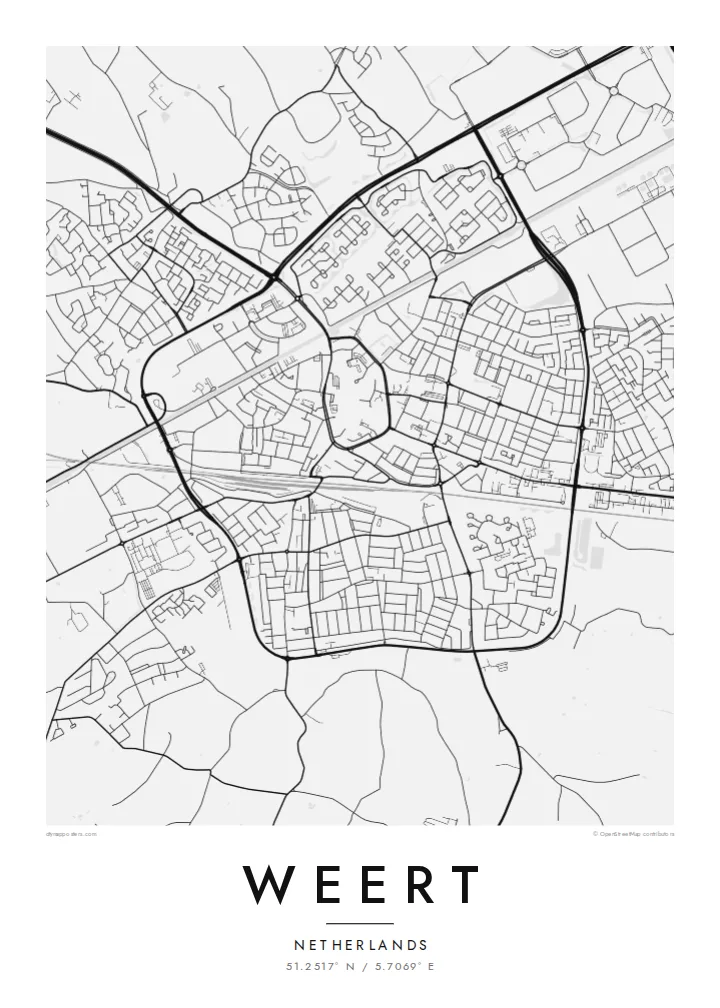
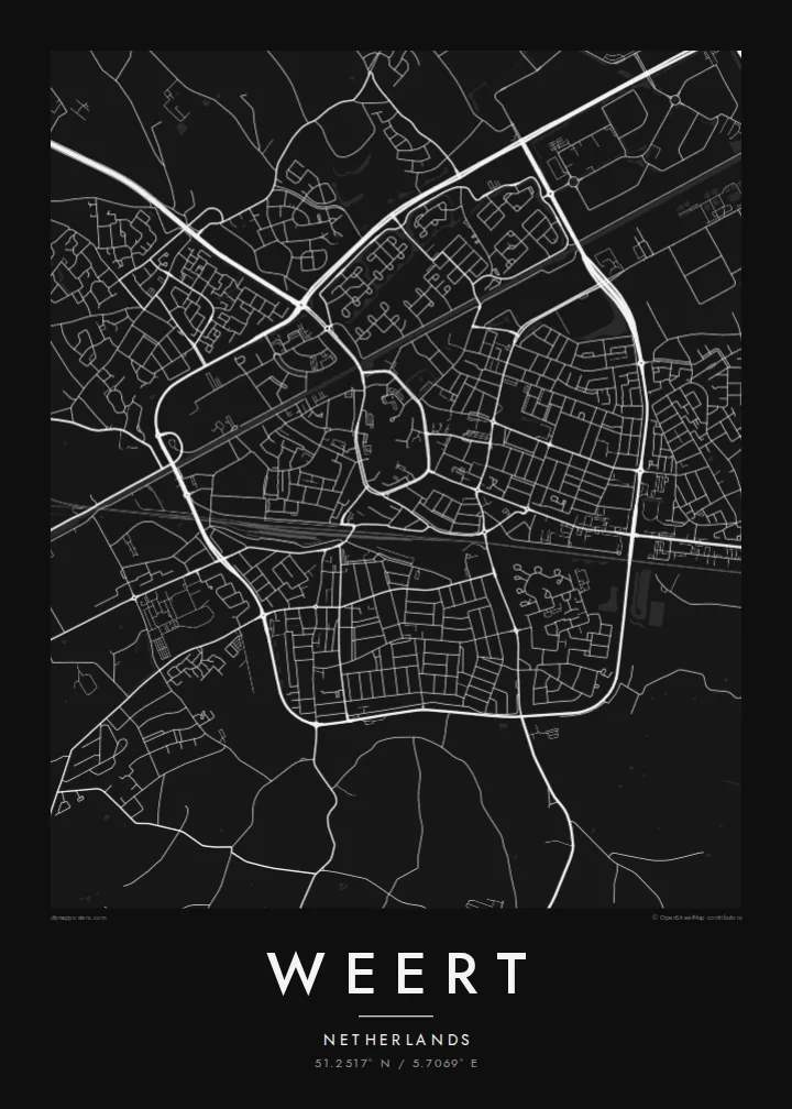
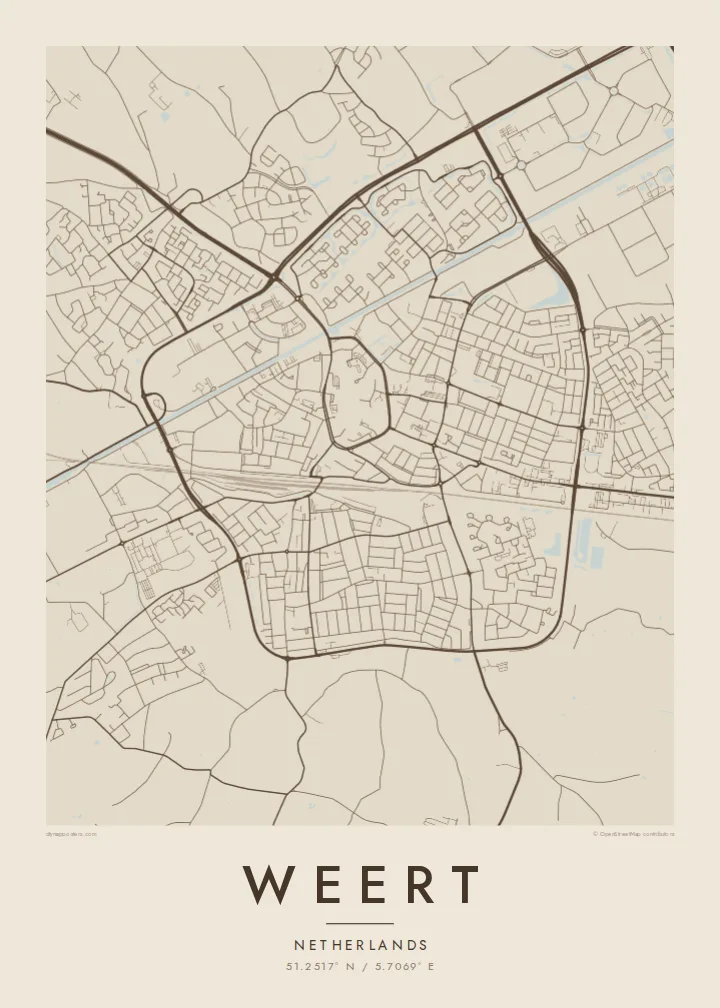
Weert lies in the western corner of Dutch Limburg, where the Netherlands narrows toward Belgium. The old centre is a compact cluster of streets around the Sint-Martinuskerk, the large late-Gothic church whose tower dominates the town. From there the plan spreads outward in rings of later neighbourhoods, all fairly low and evenly spaced on flat ground.
Water gives the map its strongest lines. The Zuid-Willemsvaart, the nineteenth-century canal between Maastricht and 's-Hertogenbosch, runs past the town, and several other canals meet it at Nederweert just to the north. On paper they draw long straight strokes that contrast with the curving streets of the centre.
Beyond the built-up area, the land opens into the woods and heath of the Kempen, including the Weerterbos. A Weert map poster brings these layers together: the old town gathered around its church, the ruler-straight canals, and the green, open edges that local people know from walks and cycling routes.
The historic canal traces a clean line past the town. This piece of nineteenth-century engineering reads especially well in black and white.
Narrow streets gather around the Sint-Martinuskerk and the market square, forming a dense knot at the centre of the poster.
Forest and heath on the edges of Weert, including the Weerterbos, keep the outer parts of the map light and open, crossed only by paths and tracks.
Agħmlu tiegħek
Żid data, isem jew sentenza tiegħek, ibdel l-istil, id-daqs jew l-orjentazzjoni.
Il-preview b'xejn hija b'riżoluzzjoni baxxa u bil-watermark. L-istampi u l-fajls HD jiġu ġġenerati b'300 DPI, sa 7,200 × 10,800 px, mingħajr watermark.
Għaliex Weert
Some people stay in Weert all their lives, others come back for family visits, and many know its canals from cycling. A map on the wall turns those familiar lines into something to look at properly instead of simply passing through.
Add a family name, a street or a year to the title and subtitle, and keep or change the coordinates. Pick from Classic black & white, Noir, Paper, Blueprint and Sand. Blueprint suits the canals, and Paper softens the old town.
Ordna l-poster Weert| Daqs tal-istampa | Riżoluzzjoni | Fajls |
|---|---|---|
| 30 × 40 cm (11.8 × 15.7″) | 3,543 × 4,724 px | PNG · PDF |
| 29.7 × 42 cm (A3, 11.7 × 16.5″) | 3,508 × 4,961 px | PNG · PDF |
| 42 × 59.4 cm (A2, 16.5 × 23.4″) | 4,961 × 7,016 px | PNG · PDF |
| 45.7 × 61 cm (18 × 24″) | 5,400 × 7,200 px | PNG · PDF |
| 50 × 70 cm (19.7 × 27.6″) | 5,906 × 8,268 px | PNG · PDF |
| 61 × 91.4 cm (24 × 36″) | 7,200 × 10,800 px | PNG · PDF |
Għal paragun, il-preview b'xejn huwa wiesa' 900 px, għandu watermark u huwa maħsub għall-iskrins. Il-fajls HD għandhom sa 8× ir-riżoluzzjoni f'kull direzzjoni u jiġu stampati b'mod nadif fid-daqs sħiħ tal-poster.
Agħżel stil fin-naħa ta' fuq tal-paġna, imbagħad agħżel Poster Stampat — daqs u, jekk trid, kurniċa — jew Fajls Diġitali HD. Il-ħlas isir f'pass wieħed, u l-paġna tal-ordni tiegħek tiġi aġġornata malli l-ħlas jgħaddi.
Jiġi stampat fuq karta matte premium ta' 200 gsm f'wieħed minn sitt daqsijiet, minn 30 × 40 cm sa 24 × 36″. Il-posters stampati jibdew minn {printFrom}, bil-kunsinna inkluża.
Iva. Agħżel kurniċa tal-injam solidu f'iswed, abjad, ballut naturali jew injam skur. Tiġi bi ħġieġ li ma jinkisirx u lesta biex tittella'. Il-posters inkurnati jibdew minn {framedFrom}, bil-kunsinna inkluża.
Il-kunsinna hija b'xejn madwar id-dinja. Kull poster jiġi stampat mill-eqreb sieħeb tal-istampar tagħna f'aktar minn 30 pajjiż u ġeneralment jasal fi 3–7 ijiem tax-xogħol. Tista' ssegwi l-istatus u t-tracking taħt L-Ordnijiet Tiegħi.
Ibgħatilna ritratt fi żmien 14-il jum mill-kunsinna u aħna nistampawh mill-ġdid b'xejn jew nirrimborżawk.
Iva. Fl-editur ta' din il-paġna, biddel it-titlu, is-sottotitlu u l-linja tal-koordinati għal kwalunkwe ħaġa trid, u agħżel stil u daqs. L-ordnijiet stampati, inkurnati u diġitali kollha jużaw eżattament id-disinn tiegħek.
Għal $9 tikseb fajls PNG b'300 DPI u PDF lesti għall-istampar fis-sitt daqsijiet kollha, mingħajr watermark, biex tistampa kullimkien. Għadek mhux ċert? L-ewwel iddawnlowdja preview b'xejn bil-watermark.
