Two-river confluence
The Tauber flows into the Main right beside the old town. The rivers draw a sharp Y of water that gives the poster its instantly recognisable shape.
Poster minimalist tal-mappa · il-Ġermanja
49.7590° N / 9.5085° E
A half-timbered town where the Main and Tauber meet, its old streets squeezed below a castle ruin on the hill.

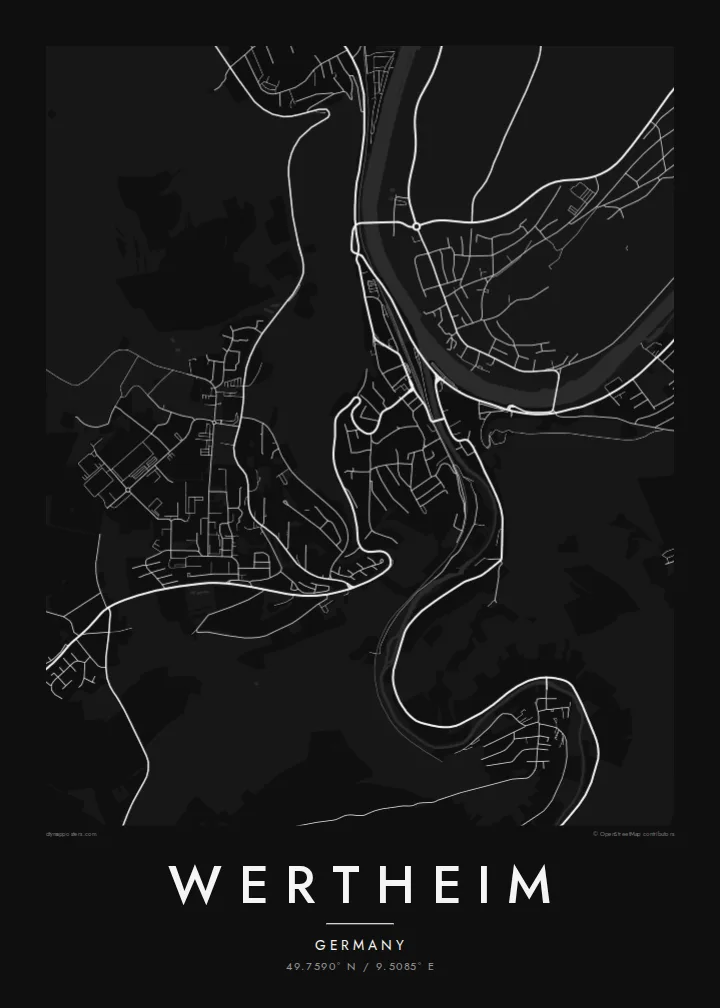

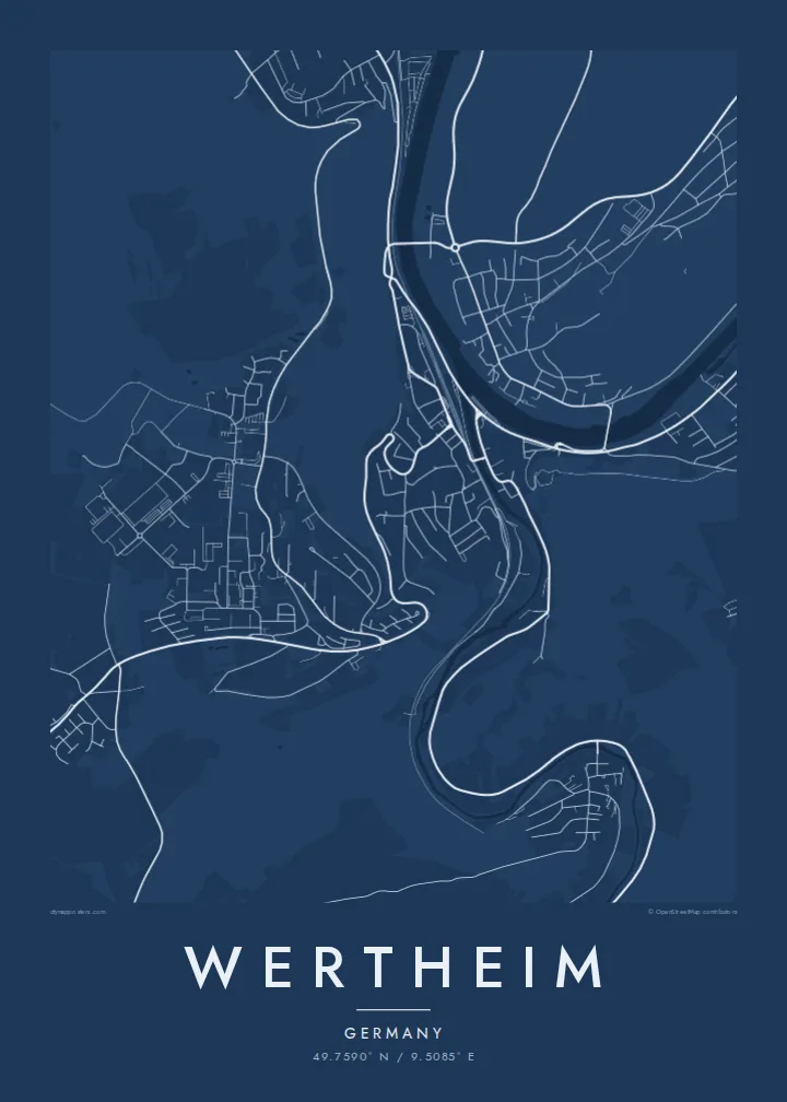

Belt waħda, ħames atmosferi
Agħfas fuq stil biex tarah fuq il-ħajt. Kull stil jiswa l-istess — stampat, inkurnat jew bħala fajls HD.
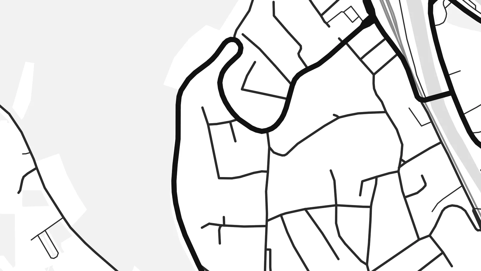 Pixels reali · fajl tal-istampar 24 × 36″
Preċiż għall-istampar
Dan huwa qtugħ ta' 100% mill-fajl tal-istampar reali. Kull poster — stampat, inkurnat jew iddawnlowdjat — jiġi ġġenerat fuq is-servers tagħna b'300 DPI, sa 7,200 × 10,800 pixel, biex saħansitra l-iżgħar toroq jibqgħu ċari fuq stampa ta' 24 × 36″.
Fuq il-ħajt


Il-mappa
Wertheim sits where the Tauber flows into the Main. It is the northernmost town in Baden-Württemberg, right on the border with Bavaria. On a map, the two rivers meet in a clean Y shape. The old town fills the narrow wedge of land between them, its lanes packed tightly together below a wooded hill crowned by castle ruins.
That setting makes a Wertheim map poster especially easy to read. The broad curve of the Main dominates the frame, the smaller Tauber arrives from the south, and bridges cross both rivers into newer districts on the far banks. Vineyards and forested slopes rise around the town, leaving the valleys as the only easy routes through the landscape.
The large ruin of Wertheim Castle overlooks the half-timbered houses and the Kittsteintor gate, whose walls record the heights of historic floods. The town is also known for scientific glassmaking, which has shaped its modern economy since the mid-twentieth century, and there is a glass museum in the old town.
The Tauber flows into the Main right beside the old town. The rivers draw a sharp Y of water that gives the poster its instantly recognisable shape.
The ruined castle stands on the wooded ridge above the old town. Paths and roads wind up the slope toward it in tight curves.
Half-timbered streets fill the narrow point of land between the two rivers. This is the densest area of the map and the heart of the town.
Agħmlu tiegħek
Żid data, isem jew sentenza tiegħek, ibdel l-istil, id-daqs jew l-orjentazzjoni.
Il-preview b'xejn hija b'riżoluzzjoni baxxa u bil-watermark. L-istampi u l-fajls HD jiġu ġġenerati b'300 DPI, sa 7,200 × 10,800 px, mingħajr watermark.
Għaliex Wertheim
Wertheim draws visitors from across Europe, from river-cruise passengers to walkers in the Main valley, and many locals have deep roots here. A map of the confluence is a graceful piece for a hallway or a study.
Personalise the title, subtitle and coordinates, perhaps with the date of a visit or a wedding at the castle. Pick one of five styles. The $9 HD download includes six sizes, from 30×40 cm to 24×36 inches, as PNG and PDF.
Ordna l-poster Wertheim| Daqs tal-istampa | Riżoluzzjoni | Fajls |
|---|---|---|
| 30 × 40 cm (11.8 × 15.7″) | 3,543 × 4,724 px | PNG · PDF |
| 29.7 × 42 cm (A3, 11.7 × 16.5″) | 3,508 × 4,961 px | PNG · PDF |
| 42 × 59.4 cm (A2, 16.5 × 23.4″) | 4,961 × 7,016 px | PNG · PDF |
| 45.7 × 61 cm (18 × 24″) | 5,400 × 7,200 px | PNG · PDF |
| 50 × 70 cm (19.7 × 27.6″) | 5,906 × 8,268 px | PNG · PDF |
| 61 × 91.4 cm (24 × 36″) | 7,200 × 10,800 px | PNG · PDF |
Għal paragun, il-preview b'xejn huwa wiesa' 900 px, għandu watermark u huwa maħsub għall-iskrins. Il-fajls HD għandhom sa 8× ir-riżoluzzjoni f'kull direzzjoni u jiġu stampati b'mod nadif fid-daqs sħiħ tal-poster.
Agħżel stil fin-naħa ta' fuq tal-paġna, imbagħad agħżel Poster Stampat — daqs u, jekk trid, kurniċa — jew Fajls Diġitali HD. Il-ħlas isir f'pass wieħed, u l-paġna tal-ordni tiegħek tiġi aġġornata malli l-ħlas jgħaddi.
Jiġi stampat fuq karta matte premium ta' 200 gsm f'wieħed minn sitt daqsijiet, minn 30 × 40 cm sa 24 × 36″. Il-posters stampati jibdew minn $39, bil-kunsinna inkluża.
Iva. Agħżel kurniċa tal-injam solidu f'iswed, abjad, ballut naturali jew injam skur. Tiġi bi ħġieġ li ma jinkisirx u lesta biex tittella'. Il-posters inkurnati jibdew minn $99, bil-kunsinna inkluża.
L-ispedizzjoni hija b'xejn mad-dinja kollha. Kull poster jiġi stampat mill-eqreb wieħed mis-sieħba tal-istampar tagħna f'aktar minn 30 pajjiż u normalment jaslilek fi 3–7 ijiem tax-xogħol. Tista' tsegwi l-istatus u t-traċċar taħt L-Ordnijiet Tiegħi. Xi pajjiżi jieħdu 2–5 ġimgħat, u fejn għadna ma nispedixxux, is-sit jgħidlek qabel ma tħallas.
Ibgħatilna ritratt fi żmien 14-il jum mill-kunsinna u aħna nistampawh mill-ġdid b'xejn jew nirrimborżawk.
Iva. Fl-editur ta' din il-paġna, biddel it-titlu, is-sottotitlu u l-linja tal-koordinati għal kwalunkwe ħaġa trid, u agħżel stil u daqs. L-ordnijiet stampati, inkurnati u diġitali kollha jużaw eżattament id-disinn tiegħek.
Għal $9 tikseb fajls PNG b'300 DPI u PDF lesti għall-istampar fis-sitt daqsijiet kollha, mingħajr watermark, biex tistampa kullimkien. Għadek mhux ċert? L-ewwel iddawnlowdja preview b'xejn bil-watermark.
