Old Muscat cove
The historic core fills a tight bay enclosed by cliffs, with two sixteenth-century forts on the headlands. On the map it appears as a small, dense pocket cut off from the rest of the city by rock.
Minimalist map poster · Oman
23.5841° N / 58.4078° E
A thin city threaded between dark mountains and the Gulf of Oman, its old harbour tucked into rocky coves.

One city, five moods
Tap a style to see it on the wall. Every style costs the same — printed, framed or as HD files.
 Actual pixels · 24 × 36″ print file
Print-sharp
This is a 100% crop of the real print file. Every poster — printed, framed or downloaded — is rendered on our servers at 300 DPI, up to 7,200 × 10,800 pixels, so even the smallest lanes stay crisp on a 24 × 36″ print.
On the wall

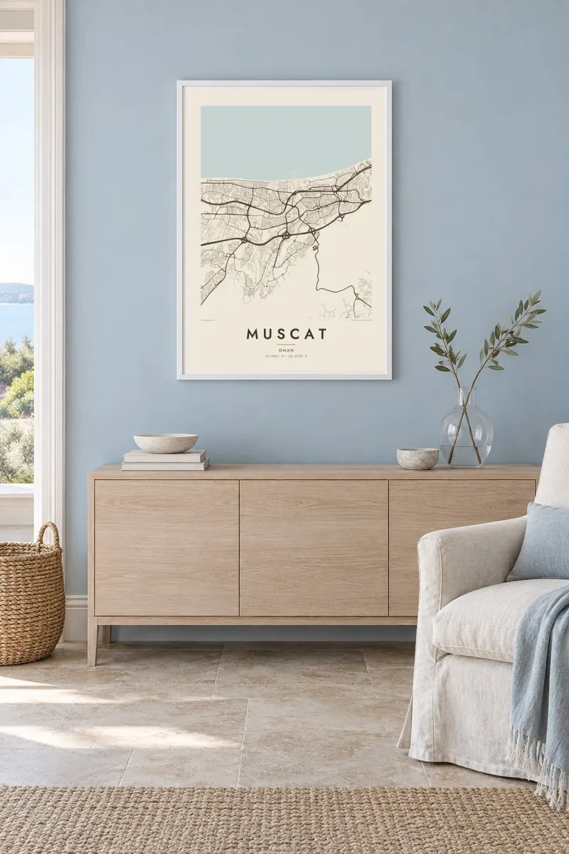
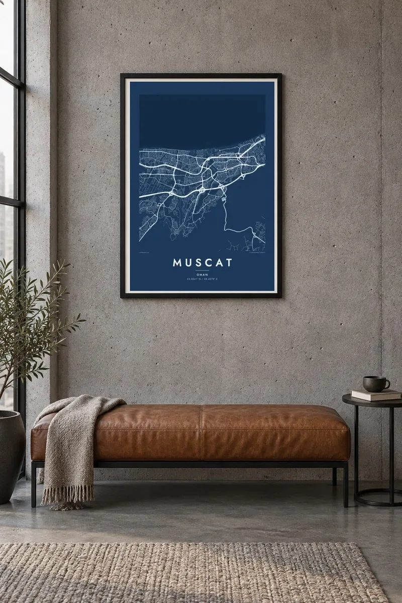
The map
From above, Muscat does not spread so much as stretch. The capital of Oman runs for dozens of kilometres along the Gulf of Oman, squeezed between the sea and the bare ridges of the Hajar Mountains. Neighbourhoods fill whichever valleys and coastal plains the rock allows, so the street network appears as a chain of separate pockets linked by long highways.
At the eastern end sits the old walled town, a compact knot of lanes in a small cove guarded by the Portuguese-era forts of Al Jalali and Al Mirani. Just west, the curved waterfront of Mutrah follows its harbour, while Sultan Qaboos Street carries the city inland past Qurum and on toward the Grand Mosque in Bawshar.
A Muscat map poster turns this unusual geography into a clean graphic. The blank spaces say as much as the lines: mountain slopes where nothing is built, dry wadis cutting down to the shore, and the open water that has shaped the city's trade for centuries. In black and white, the contrast between rock, road and sea reads clearly.
The historic core fills a tight bay enclosed by cliffs, with two sixteenth-century forts on the headlands. On the map it appears as a small, dense pocket cut off from the rest of the city by rock.
A long curving promenade follows the harbour at Mutrah, with the old souq's alleys packed behind it. The smooth arc of the seafront is one of the most recognisable lines on the whole map.
The main artery runs west from the coast through the newer districts and ties the scattered neighbourhoods together. On paper it becomes the spine that gives this linear city its structure.
Make it yours
Add a date, a name or a line of your own, switch style, size or orientation.
The free preview is low-resolution with a watermark. Prints and HD files are rendered at 300 DPI, up to 7,200 × 10,800 px, without a watermark.
Why Muscat
Muscat suits anyone who has lived, worked or travelled along this coast, and the map captures what photographs rarely show: how the whole city bends around mountains and sea. On a wall it stays quiet, detailed up close and simple from across a room.
You can personalise the title, subtitle and coordinates line with a name, a date or a place you stayed, and choose from five styles: Classic black & white, Noir, Paper, Blueprint and Sand. Sand in particular echoes the desert tones of the surrounding hills.
Order the Muscat poster| Print size | Resolution | Files |
|---|---|---|
| 30 × 40 cm11.8 × 15.7″ | 3,543 × 4,724 px | PNG · PDF |
| 29.7 × 42 cm (A3)11.7 × 16.5″ | 3,508 × 4,961 px | PNG · PDF |
| 42 × 59.4 cm (A2)16.5 × 23.4″ | 4,961 × 7,016 px | PNG · PDF |
| 45.7 × 61 cm18 × 24″ | 5,400 × 7,200 px | PNG · PDF |
| 50 × 70 cm19.7 × 27.6″ | 5,906 × 8,268 px | PNG · PDF |
| 61 × 91.4 cm24 × 36″ | 7,200 × 10,800 px | PNG · PDF |
For comparison, the free preview is 900 px wide, watermarked and meant for screens. The HD files have up to 8× the resolution in each direction and print cleanly at full poster size.
Pick a style at the top of the page, then choose Printed Poster — a size and, if you like, a frame — or Digital HD Files. Checkout takes one step, and your order page updates as soon as the payment goes through.
It is printed on premium 200 gsm matte paper in one of six sizes, from 30 × 40 cm to 24 × 36″. Printed posters start at $39, shipping included.
Yes. Choose a solid wood frame in black, white, natural oak or dark wood. It comes with shatterproof glazing and is ready to hang. Framed posters start at $99, shipping included.
Shipping is free to 60+ countries. Each poster is printed by the nearest of our print partners in 30+ countries and usually arrives in 3–7 business days. You can follow the status and tracking under My Orders. A few countries take 2–5 weeks, and where we don't ship yet, the site tells you before you pay.
Send us a photo within 14 days of delivery and we will reprint it for free or refund you.
Yes. In the editor on this page, change the title, the subtitle and the coordinates line to anything you like, and pick a style and size. Printed, framed and digital orders all use exactly your design.
For $9 you get 300 DPI PNG and print-ready PDF files in all six sizes, without a watermark, to print anywhere. Not sure yet? Download a free watermarked preview first.
Nearby
