Planned housing blocks
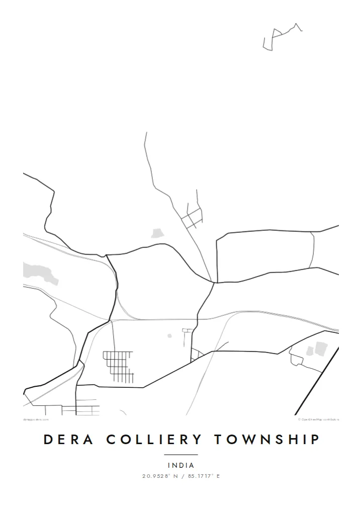
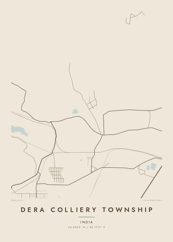
The township's streets form repeating rows and regular blocks. That layout is typical of company-built settlements and easy to read from above.
Minimalist map poster · India
20.9528° N / 85.1717° E
A planned mining township in the Talcher coalfield, with orderly housing lanes next to the large open shapes of the mines


One city, five moods
Ekamowa emwit style ouga bwe ouga ekamowa e dedaña ñan bwega. Style otata a kor eangan — eprint, eframe ke HD files.
 Pixel ekwan · 24 × 36″ print file
Print-sharp
Enin 100% crop eo mai print file eo elango. Poster otata — eprint, eframe ke edownload — erender iaan server bwir e 300 DPI, dedaña ñan 7,200 × 10,800 pixels, bwe lane ekekedik ekwan ebwe crisp iaan print 24 × 36″.
Ituro


The map
Dera Colliery Township is in central Odisha, in the coal-bearing Talcher belt. Like many colliery townships, it was built to house the people who work the nearby mines. That purpose shows clearly on a map. The residential area has an ordered, planned look, with housing rows, service roads and community spaces set out in regular blocks.
Around it the landscape is industrial. Mining areas, haul roads, rail sidings and cleared ground create large, irregular shapes. They sit very differently beside the neat lines of the township. Farmland, patches of scrub and water fill the spaces further out. The countryside around the mines is still largely rural.
A Dera Colliery Township map poster captures that contrast. On the page, a small planned community sits beside the broad, abstract outlines of an active coalfield. It is a specific place in the life of the people who work and live there, and it seldom appears on a map in its own right.
The township's streets form repeating rows and regular blocks. That layout is typical of company-built settlements and easy to read from above.
Nearby mine workings and cleared land form large, irregular shapes. They contrast sharply with the fine grid of the residential township.
Haul roads and rail lines run between the mines and the wider region. They carry the coal out and tie the township to the Talcher belt.
Make it yours
Add a date, a name or a line of your own, switch style, size or orientation.
Preview ededa low-resolution im watermark. Print im HD files erender iaan 300 DPI, dedaña ñan 7,200 × 10,800 px, ededa watermark.
Why Dera Colliery Township
This map is for mining families and former residents who remember the township's quarters, schools and roads. It is a precise record of a community built around work.
Personalise the title, subtitle and coordinates, and choose Classic black & white, Noir, Paper, Blueprint or Sand. The $9 digital download includes six sizes as 300 DPI PNG and PDF, and printed posters ship from partners in 30+ countries.
Oder poster Dera Colliery Township| Print size | Resolution | Files |
|---|---|---|
| 30 × 40 cm11.8 × 15.7″ | 3,543 × 4,724 px | PNG · PDF |
| 29.7 × 42 cm (A3)11.7 × 16.5″ | 3,508 × 4,961 px | PNG · PDF |
| 42 × 59.4 cm (A2)16.5 × 23.4″ | 4,961 × 7,016 px | PNG · PDF |
| 45.7 × 61 cm18 × 24″ | 5,400 × 7,200 px | PNG · PDF |
| 50 × 70 cm19.7 × 27.6″ | 5,906 × 8,268 px | PNG · PDF |
| 61 × 91.4 cm24 × 36″ | 7,200 × 10,800 px | PNG · PDF |
For comparison, the free preview is 900 px wide, watermarked and meant for screens. The HD files have up to 8× the resolution in each direction and print cleanly at full poster size.
Emwit style iaan capña page, im dogen Printed Poster — size eo, im framme ouga tomwin — ke Digital HD Files. Checkout eaer sit step, im order page bwira eupdate iaan payment eo emej.
Eprint iaan matte paper 200 gsm, iaan size eo eo, mai 30 × 40 cm ñan 24 × 36″. Poster eprint eo emeja iaan $39, shipping ededo.
Eko. Emwit frame wood solid iaan black, white, oak natural ke wood dark. Etaña shatterproof glazing im ready ñan hang. Poster eframe emeja iaan $99, shipping ededo.
Shipping ma free ägen 60+ country. Poster ngaga eo e print ägen print partner nearest ibiema 30+ country, ae e tep ägen 3–7 business day. Ngaga kor status ae tracking ibe My Orders. Country ibiema e tep 2–5 week, ae country ngaga ibe shipping e bwaren, website e ibin oen bwa ngaga pay.
Kabun photo bwira iaan 14 aean mai delivery, im bwira ereprint ededo ke erefund.
Eko. Iaan editor page eanin, ouga change title, subtitle, im coordinates line ñan tomwin ouga koda, im emwit style im size. Order eprint, eframe im digital otata ekamowa design ouga tomwin.
Iaan $9 ouga ereub 300 DPI PNG im PDF print-ready iaan size otata eo, ededa watermark, ñan print ekamowa tomwin. Ouga aewedik? Download preview ededa watermarked kabun.
Nearby
