BR-010 highway
The Belém–Brasília highway passes the town and is its main link to the rest of Brazil. It forms the strongest, straightest line on the map.
Fakatino mape mukamuka · Brazil
2.5578° S / 47.4950° W
A frontier town on the Belém–Brasília highway, set in a large Amazonian municipality of rivers, pasture and remaining forest


Taha e taone, lima e onoonoaga
Tapaki e taha puhala ke kitia ai ki luga he puipui. Kua tatai e totogi he tau puhala oti — pete he lolomi, poloka, po ke faila HD.
 Tau pikselo mooli · faila lolomi 24 × 36″
Maama mitaki ke lolomi
Ko e 100% e fahi mooli mai he faila lolomi. Ko e tau poster oti — pete kua lolomi, poloka, po ke utu hifo — kua taute ke he ha mautolu a tau tokoluga (server) ke he 300 DPI, hokotia ke he 7,200 × 10,800 piksela, ke maeke ai e tau ala ikiiki tote ke maaliali fakamitaki he lolomi 24 × 36″.
He Pā


Ko e mape
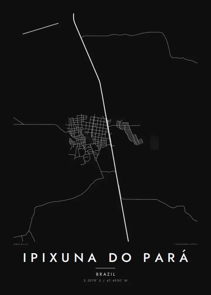
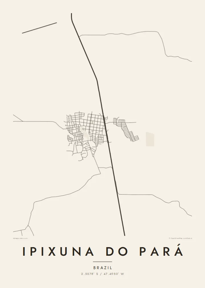
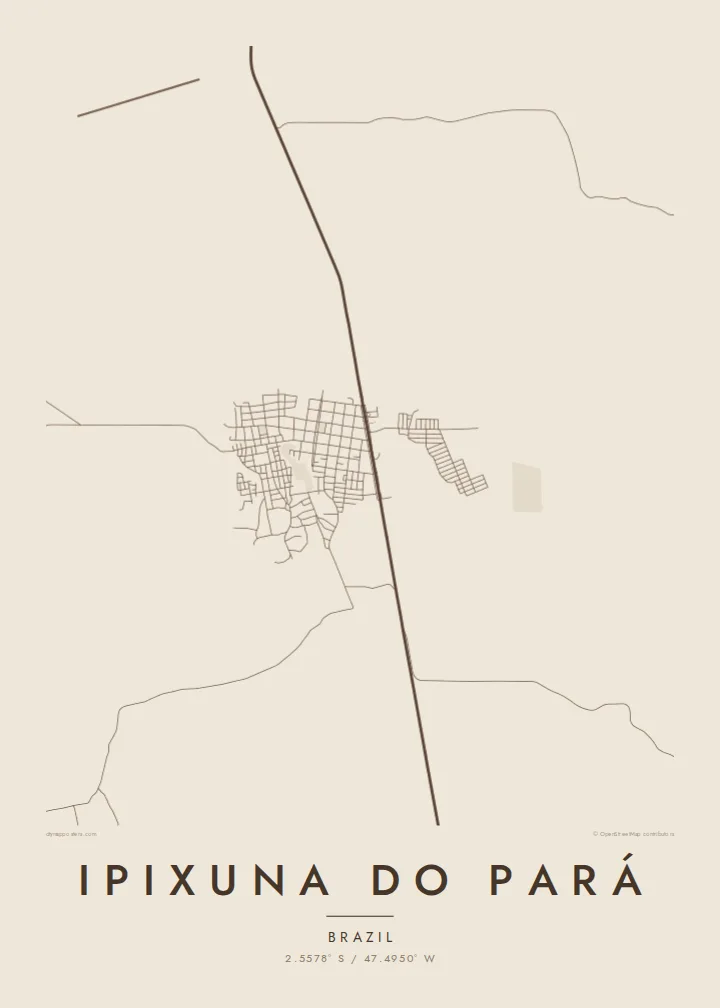
Ipixuna do Pará lies in north-eastern Pará, south of Belém, in a large municipality where the Amazon forest meets farming frontier. From above, the town is a relatively small grid of streets beside the BR-010, the Belém–Brasília highway. Beyond it, the landscape opens into a patchwork of pasture, cleared land, remaining forest and winding river channels.
Like many towns along the Belém–Brasília corridor, Ipixuna do Pará grew with the road. Its economy has depended on logging, cattle raising and farming. The municipality covers a wide area, so most of its population and most of its land lie outside the town itself. Scattered roads and settlements reach into the surrounding countryside.
An Ipixuna do Pará map poster reflects this frontier geography. It shows the straight highway, the regular grid of the town, and side roads branching off into the countryside. Rivers meander through the remaining forest. It is a simple, honest composition, well suited to families with roots here or anyone who knows the long road between Belém and the south.
The Belém–Brasília highway passes the town and is its main link to the rest of Brazil. It forms the strongest, straightest line on the map.
The urban area is a compact grid of streets beside the highway. It shows a planned layout typical of towns founded along Amazon frontier roads.
Winding waterways and remaining forest fill much of the municipality. They contrast with the straight lines of the roads and cleared land.
Taute ke ha hau
Lafi e aho, taha higoa po ke taha kupu haau, hiki e fakatino, lahi po ke tuaga.
Ko e kitiaaga nakai totogi kua tote e maaliali mo e fakamailoga vai. Ko e tau lolomi mo e tau faila HD kua taute ke he 300 DPI, hokotia ke he 7,200 × 10,800 px, nakai fai fakamailoga vai.
Ko e ha Ipixuna do Pará
For families who built their lives in Ipixuna do Pará, the grid beside the highway is home. For others it is a stop on a long journey through the Amazon. Either way, a map keeps that place in view.
Add a title, a subtitle in Portuguese and a coordinates line. Choose from Classic black & white, Noir, Paper, Blueprint or Sand. Buy the HD files for $9, with no watermark, or order a matte print with an optional wooden frame.
Talaage e poster Ipixuna do Pará| Lahi he lolomi | Maama | Tau faila |
|---|---|---|
| 30 × 40 cm11.8 × 15.7″ | 3,543 × 4,724 px | PNG · PDF |
| 29.7 × 42 cm (A3)11.7 × 16.5″ | 3,508 × 4,961 px | PNG · PDF |
| 42 × 59.4 cm (A2)16.5 × 23.4″ | 4,961 × 7,016 px | PNG · PDF |
| 45.7 × 61 cm18 × 24″ | 5,400 × 7,200 px | PNG · PDF |
| 50 × 70 cm19.7 × 27.6″ | 5,906 × 8,268 px | PNG · PDF |
| 61 × 91.4 cm24 × 36″ | 7,200 × 10,800 px | PNG · PDF |
Ke fakatatai, ko e fakatino noa kua 900 px e laulahi, fai fakamailoga mo e mo e tau mata komipiuta ni. Ko e tau faila HD kua ato hoko ke he 8× e maama ke he tau faahi takitaha mo e lolomi mitaki he lahi katoa he fakatino.
Fifili e taha puhala i luga he kupega, ti fifili e Poster Lolomi — e lahi mo e, kaeke ke manako ai koe, taha poloka — po ke Tau Faila HD Fakaeletonika. Ko e fakaotiaga totogi ko e taha gahua ni, ti ko e kupega he hau a talaaga ka fakafou fakahaga i mua he fakaotiaga e totogi.
Kua lolomi ai ke he pepa mitaki 200 gsm matte he taha he tau lahi ono, mai he 30 × 40 cm ke hoko ke he 24 × 36″. Kamata e tau poster lolomi mai he $39, kua putoia ai e utaaga.
E. Fifili e poloka akau malolō ke he lanu uli, tea, akau oki mooli, po ke akau pouli. Kua fakalataha mo e sioga malolō nakai malepe ti kua mautali ke tautau. Kamata e tau poster poloka mai he $99, kua putoia ai e utaaga.
Nakai totogi e fakafano ke he motu 60+. Ko e fakatino taha kua lolomi he fenoga lolomi ha mautolu kua tata mo e tau motu 30+, kua hoko mai he tau aho gahua 3–7. Maeke ia koe ke kikite e tuaga mo e fakamuitua he lalo he Haku Tau Fakatonu. Ke he falu motu kua 2–5 e tau tapu, ti ka nakai fakafano a mautolu ki ai, to fakaha he api tupe ia ki mua he totogi.
Fakafano mai e taha ata ki a mautolu he loto he 14 e tau aho tali mai he hokoaga, ti to lolomi foki e mautolu nakai totogi po ke liu atu e totogi ki a koe.
E. He editor i luga he kupega nei, hikihiki e matakupu, e matakupu lalo mo e laini coordinates ke he taha mena kua manako a koe ki ai, ti fifili e puhala mo e lahi. Ko e tau talaaga lolomi, poloka mo e fakaeletonika oti kua fakaaoga tonu e hau a fakatino.
Ma e $9 ka moua e koe e tau faila PNG 300 DPI mo e PDF kua mautali ke lolomi he tau lahi ono oti, nakai fai fakamailoga vai, ke lolomi i fe mena. Nakai maopoopo agaia? Utu hifo fakamua e kitiaaga nakai totogi ne fai fakamailoga vai.
Tata mai
