Canal network
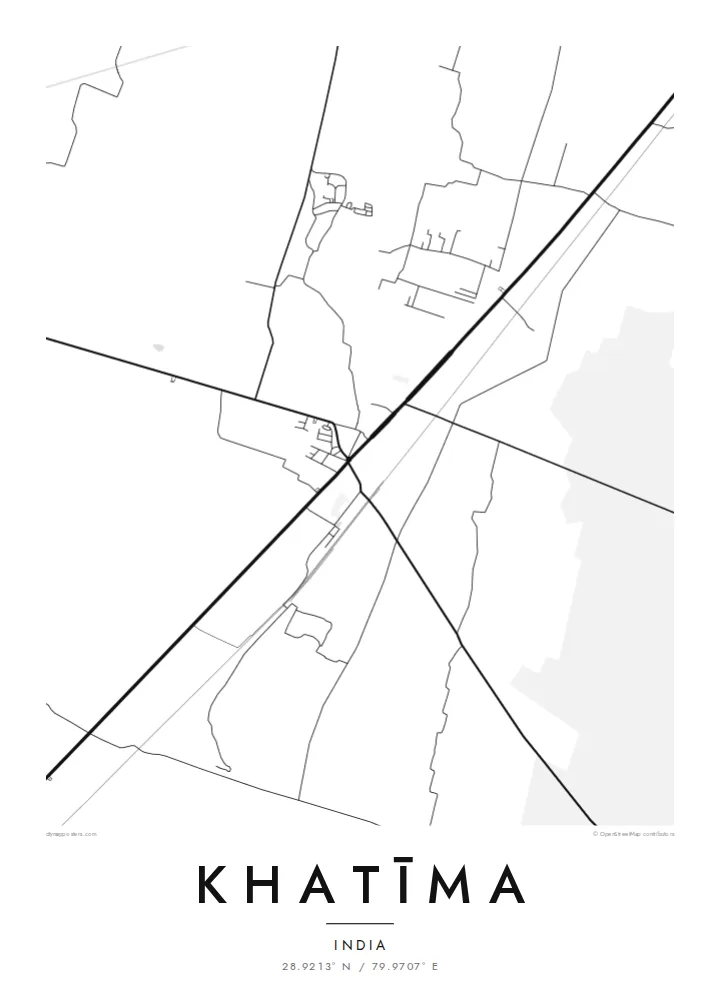
Irrigation canals cross the fields around the town in long, straight lines, giving the wider map a precise, engineered pattern that frames the settlement.
Fakatino mape mukamuka · India
28.9213° N / 79.9707° E
A Terai town on the plains of Uttarakhand near the Nepal border, bordered by canals, fields and forest.


Taha e taone, lima e onoonoaga
Tapaki e taha puhala ke kitia ai ki luga he puipui. Kua tatai e totogi he tau puhala oti — pete he lolomi, poloka, po ke faila HD.
 Tau pikselo mooli · faila lolomi 24 × 36″
Maama mitaki ke lolomi
Ko e 100% e fahi mooli mai he faila lolomi. Ko e tau poster oti — pete kua lolomi, poloka, po ke utu hifo — kua taute ke he ha mautolu a tau tokoluga (server) ke he 300 DPI, hokotia ke he 7,200 × 10,800 piksela, ke maeke ai e tau ala ikiiki tote ke maaliali fakamitaki he lolomi 24 × 36″.
He Pā


Ko e mape
Khatīma lies in the Udham Singh Nagar district of Uttarakhand, on the flat Terai plain at the foot of the Himalaya and close to the border with Nepal. The map shows a town spread along its main road and railway line, surrounded by a very regular landscape of irrigated fields, canals and patches of forest. The hills begin a short distance to the north.
The area is a homeland of the Tharu people, a community traditionally associated with the Terai, and many Tharu villages lie around the town. Water shapes the landscape: the Sharda river flows to the east along the frontier, and canals distribute water across the farmland. Khatīma also holds a notable place in the history of the movement for a separate Uttarakhand state.
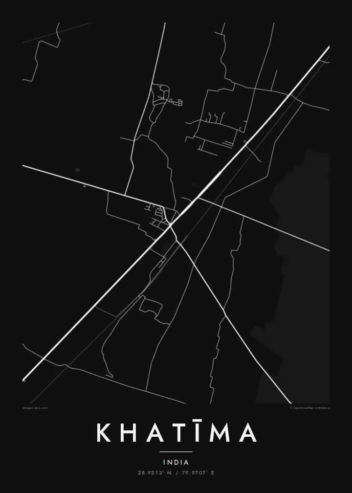
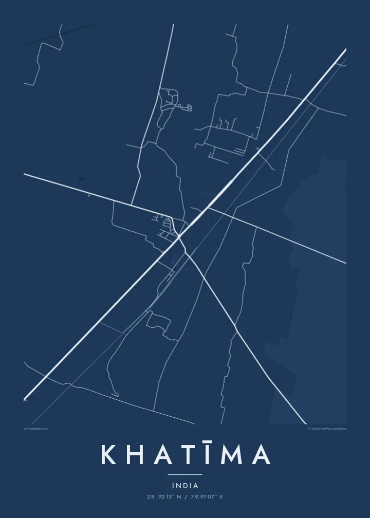
A Khatīma map poster works well when framed wide enough to show the canals and the long straight lines of the field boundaries, which contrast with the more irregular streets of the town. Blueprint suits the engineered water network, and Paper gives the plains a soft, calm tone. The result is quiet, orderly and quite distinctive.
Irrigation canals cross the fields around the town in long, straight lines, giving the wider map a precise, engineered pattern that frames the settlement.
The main road and the railway pass through Khatīma, forming the axis along which the town has grown and linking it with Tanakpur and the plains beyond.
Patches of forest remain among the farmland of the Terai, appearing as irregular open areas that interrupt the otherwise regular pattern of fields.
Taute ke ha hau
Lafi e aho, taha higoa po ke taha kupu haau, hiki e fakatino, lahi po ke tuaga.
Ko e kitiaaga nakai totogi kua tote e maaliali mo e fakamailoga vai. Ko e tau lolomi mo e tau faila HD kua taute ke he 300 DPI, hokotia ke he 7,200 × 10,800 px, nakai fai fakamailoga vai.
Ko e ha Khatīma
Khatīma holds deep meaning for Tharu families, for people from the Kumaon plains, and for those who remember its role in the statehood movement. A map of the town and its canals is a calm, personal image that carries that attachment without needing words.
Add your own title and subtitle, perhaps with a family name, include coordinates or a date, and choose Classic black & white, Noir, Paper, Blueprint or Sand. The $9 download includes six sizes, and printed posters can be ordered with a wooden frame.
Talaage e poster Khatīma| Lahi he lolomi | Maama | Tau faila |
|---|---|---|
| 30 × 40 cm11.8 × 15.7″ | 3,543 × 4,724 px | PNG · PDF |
| 29.7 × 42 cm (A3)11.7 × 16.5″ | 3,508 × 4,961 px | PNG · PDF |
| 42 × 59.4 cm (A2)16.5 × 23.4″ | 4,961 × 7,016 px | PNG · PDF |
| 45.7 × 61 cm18 × 24″ | 5,400 × 7,200 px | PNG · PDF |
| 50 × 70 cm19.7 × 27.6″ | 5,906 × 8,268 px | PNG · PDF |
| 61 × 91.4 cm24 × 36″ | 7,200 × 10,800 px | PNG · PDF |
Ke fakatatai, ko e fakatino noa kua 900 px e laulahi, fai fakamailoga mo e mo e tau mata komipiuta ni. Ko e tau faila HD kua ato hoko ke he 8× e maama ke he tau faahi takitaha mo e lolomi mitaki he lahi katoa he fakatino.
Fifili e taha puhala i luga he kupega, ti fifili e Poster Lolomi — e lahi mo e, kaeke ke manako ai koe, taha poloka — po ke Tau Faila HD Fakaeletonika. Ko e fakaotiaga totogi ko e taha gahua ni, ti ko e kupega he hau a talaaga ka fakafou fakahaga i mua he fakaotiaga e totogi.
Kua lolomi ai ke he pepa mitaki 200 gsm matte he taha he tau lahi ono, mai he 30 × 40 cm ke hoko ke he 24 × 36″. Kamata e tau poster lolomi mai he $39, kua putoia ai e utaaga.
E. Fifili e poloka akau malolō ke he lanu uli, tea, akau oki mooli, po ke akau pouli. Kua fakalataha mo e sioga malolō nakai malepe ti kua mautali ke tautau. Kamata e tau poster poloka mai he $99, kua putoia ai e utaaga.
Nakai totogi e fakafano ke he motu 60+. Ko e fakatino taha kua lolomi he fenoga lolomi ha mautolu kua tata mo e tau motu 30+, kua hoko mai he tau aho gahua 3–7. Maeke ia koe ke kikite e tuaga mo e fakamuitua he lalo he Haku Tau Fakatonu. Ke he falu motu kua 2–5 e tau tapu, ti ka nakai fakafano a mautolu ki ai, to fakaha he api tupe ia ki mua he totogi.
Fakafano mai e taha ata ki a mautolu he loto he 14 e tau aho tali mai he hokoaga, ti to lolomi foki e mautolu nakai totogi po ke liu atu e totogi ki a koe.
E. He editor i luga he kupega nei, hikihiki e matakupu, e matakupu lalo mo e laini coordinates ke he taha mena kua manako a koe ki ai, ti fifili e puhala mo e lahi. Ko e tau talaaga lolomi, poloka mo e fakaeletonika oti kua fakaaoga tonu e hau a fakatino.
Ma e $9 ka moua e koe e tau faila PNG 300 DPI mo e PDF kua mautali ke lolomi he tau lahi ono oti, nakai fai fakamailoga vai, ke lolomi i fe mena. Nakai maopoopo agaia? Utu hifo fakamua e kitiaaga nakai totogi ne fai fakamailoga vai.
Tata mai
