Lake Eola
The downtown lake is ringed by a walking path and park, with its lit fountain in the middle. It is a clear circle surrounded by the densest blocks of the city.
Minimalist map poster · United States
28.5383° N / 81.3792° W
A low Florida city dotted with round lakes, crossed diagonally by the interstate and spreading toward theme parks in the south-west.

One city, five moods
Tap a style to see it on the wall. Every style costs the same — printed, framed or as HD files.
 Actual pixels · 24 × 36″ print file
Print-sharp
This is a 100% crop of the real print file. Every poster — printed, framed or downloaded — is rendered on our servers at 300 DPI, up to 7,200 × 10,800 pixels, so even the smallest lanes stay crisp on a 24 × 36″ print.
On the wall

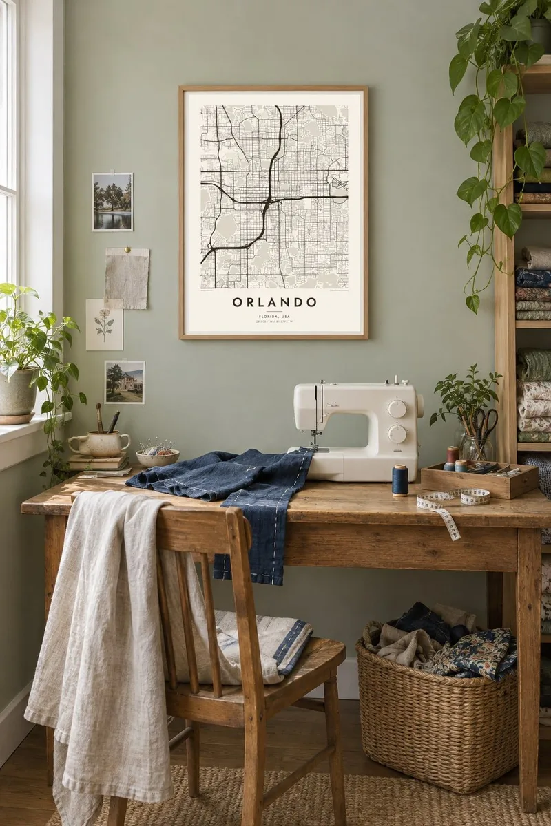

The map
Few cities look as watery on a map as Orlando. The land is flat central Florida, but it is dotted with dozens of lakes, many of them almost perfectly round and many formed as sinkholes. Streets bend around them and neighbourhoods take their names from them. The result is a grid that keeps giving way to open circles of water.
Downtown gathers around Lake Eola, whose fountain has become the city's emblem, with towers to the west and older residential streets to the east. Interstate 4 cuts through on a long diagonal. It links the centre with Winter Park to the north and with the resort corridor to the south-west, where Walt Disney World and other theme parks transformed the region from the 1970s onward.
Beyond the core, the map shows brick-street neighbourhoods such as Thornton Park, the green grounds of Leu Gardens and the orderly rows of later suburbs. An Orlando map poster picks out the lakes first and then lets the streets settle around them. That is roughly how the city itself grew.
The downtown lake is ringed by a walking path and park, with its lit fountain in the middle. It is a clear circle surrounded by the densest blocks of the city.
Dozens of small round lakes dot the residential districts, each edged by curving streets. Together they turn the map into a pattern of light and dark circles.
The highway slices across the city on a diagonal from north-east to south-west. It is a strong line connecting downtown to the attractions corridor beyond the city limits.
Make it yours
Add a date, a name or a line of your own, switch style, size or orientation.
The free preview is low-resolution with a watermark. Prints and HD files are rendered at 300 DPI, up to 7,200 × 10,800 px, without a watermark.
Why Orlando
Many Orlando residents arrived from somewhere else and made it home, and many families come back year after year on holiday. A map full of lakes is a gentle way to mark either story without resorting to souvenir imagery.
Change the title and subtitle, add the year you moved or the date of a family trip, and edit the coordinates line. Classic black & white, Noir, Paper, Blueprint and Sand are all available, as $9 digital files or as a printed poster with an optional wooden frame.
Order the Orlando poster| Print size | Resolution | Files |
|---|---|---|
| 30 × 40 cm11.8 × 15.7″ | 3,543 × 4,724 px | PNG · PDF |
| 29.7 × 42 cm (A3)11.7 × 16.5″ | 3,508 × 4,961 px | PNG · PDF |
| 42 × 59.4 cm (A2)16.5 × 23.4″ | 4,961 × 7,016 px | PNG · PDF |
| 45.7 × 61 cm18 × 24″ | 5,400 × 7,200 px | PNG · PDF |
| 50 × 70 cm19.7 × 27.6″ | 5,906 × 8,268 px | PNG · PDF |
| 61 × 91.4 cm24 × 36″ | 7,200 × 10,800 px | PNG · PDF |
For comparison, the free preview is 900 px wide, watermarked and meant for screens. The HD files have up to 8× the resolution in each direction and print cleanly at full poster size.
Pick a style at the top of the page, then choose Printed Poster — a size and, if you like, a frame — or Digital HD Files. Checkout takes one step, and your order page updates as soon as the payment goes through.
It is printed on premium 200 gsm matte paper in one of six sizes, from 30 × 40 cm to 24 × 36″. Printed posters start at $39, shipping included.
Yes. Choose a solid wood frame in black, white, natural oak or dark wood. It comes with shatterproof glazing and is ready to hang. Framed posters start at $99, shipping included.
Shipping is free to 60+ countries. Each poster is printed by the nearest of our print partners in 30+ countries and usually arrives in 3–7 business days. You can follow the status and tracking under My Orders. A few countries take 2–5 weeks, and where we don't ship yet, the site tells you before you pay.
Send us a photo within 14 days of delivery and we will reprint it for free or refund you.
Yes. In the editor on this page, change the title, the subtitle and the coordinates line to anything you like, and pick a style and size. Printed, framed and digital orders all use exactly your design.
For $9 you get 300 DPI PNG and print-ready PDF files in all six sizes, without a watermark, to print anywhere. Not sure yet? Download a free watermarked preview first.
Nearby
