Nakanoshima island
A long, narrow island between the Dojima and Tosabori rivers, holding museums, offices and parks. On the map it forms a slender shape in the city centre.
Minimalist map poster · Japan
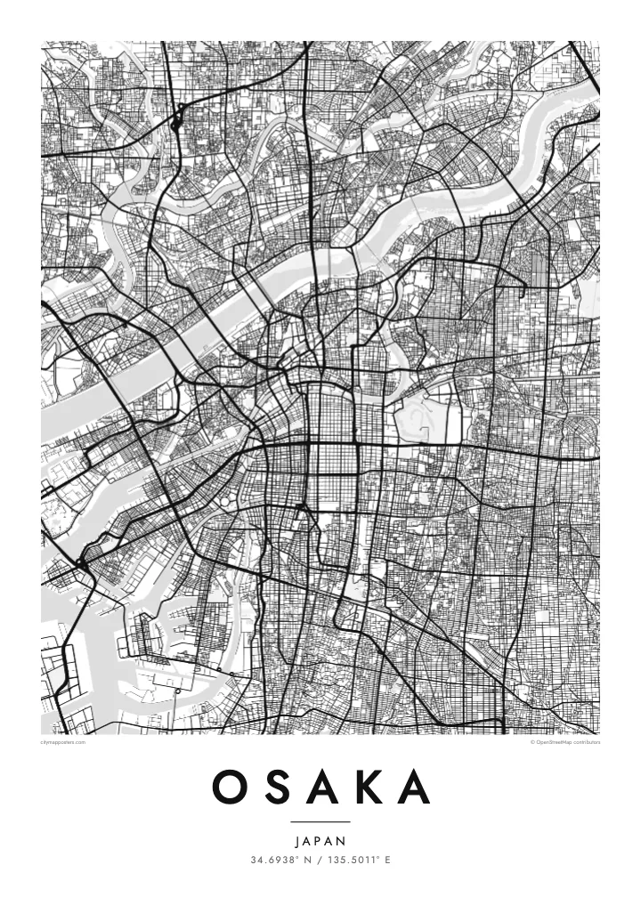
A dense bay city laced with rivers and canals, with a castle park and a long central boulevard
34.6938° N / 135.5011° E


One city, five moods
Tap a style to see it on the wall. Every style is included in the same $9 price.
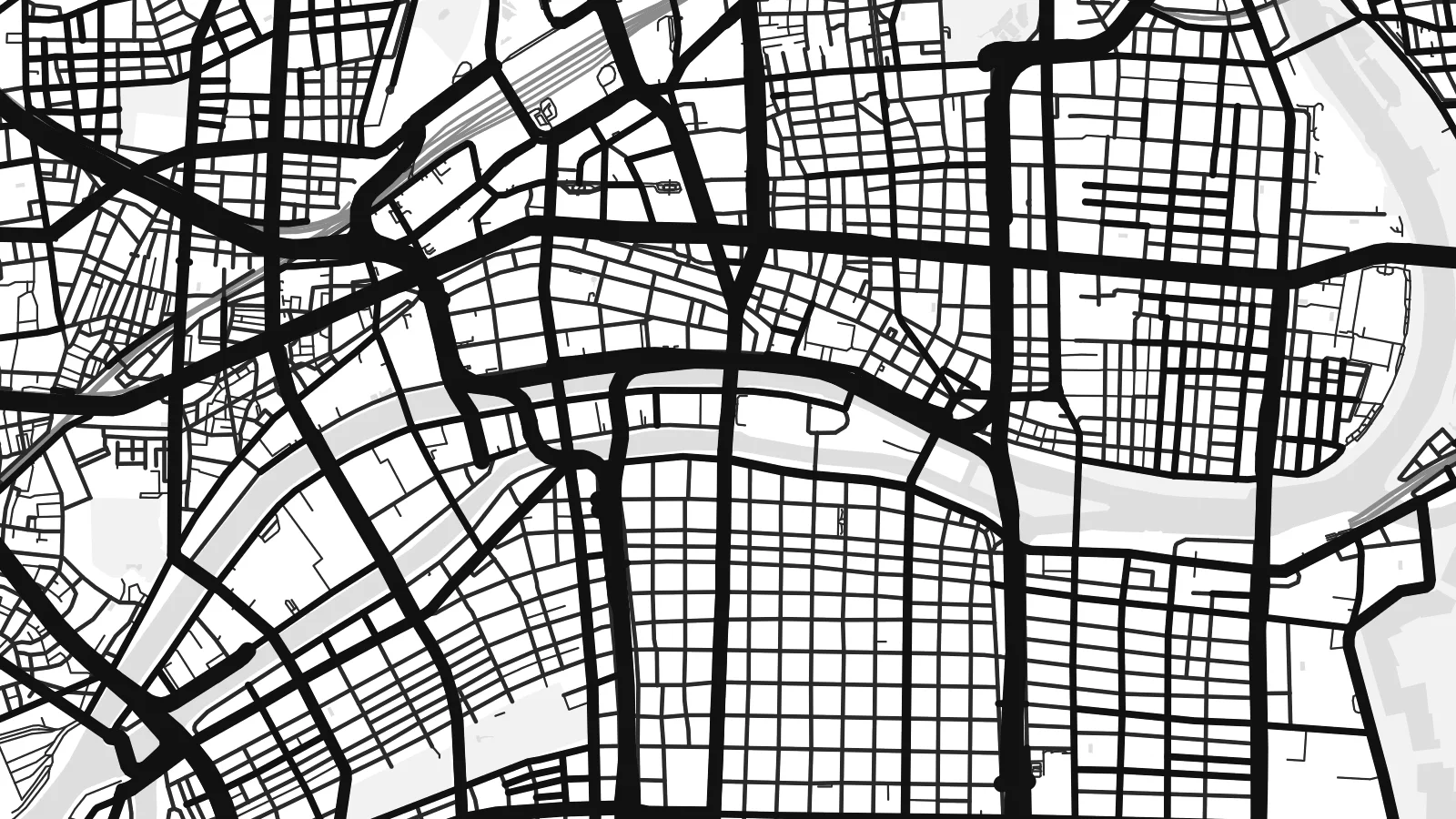 Actual pixels · 24 × 36″ HD file
Print-sharp
This is a crop of the real HD file at 100%. The paid download is rendered on our servers at 300 DPI, up to 7,200 × 10,800 pixels, so even the smallest lanes stay crisp on a 24 × 36″ print.
The map
Osaka sits on Osaka Bay, at the mouth of the Yodo River. From above, the city is a dense web of streets, criss-crossed by rivers and canals. The historic merchant city grew on this network of water, and many of its districts are still defined by the channels around them.
Nakanoshima, a long island between two rivers, holds public buildings and parks in the heart of the city. Midosuji, a wide boulevard, runs north–south through the centre. To the south, the Dotonbori canal cuts through one of the city's best-known entertainment districts, lined with neon signs and bridges.
On higher ground to the east lies Osaka Castle, surrounded by moats and a large park. The Osaka Loop Line rail circle runs around the central districts. An Osaka map poster shows how the rivers, canals, castle and boulevards come together in one of Japan's largest cities.
A long, narrow island between the Dojima and Tosabori rivers, holding museums, offices and parks. On the map it forms a slender shape in the city centre.
The castle stands within layered moats and a large park on higher ground east of the centre. It appears as a large, rectangular green space.
This canal runs east–west through the Namba area, crossed by many bridges. On the map it creates a thin, straight line through dense blocks.
Make it yours
Add a date, a name or a line of your own, switch style, size or orientation.
Free preview is low-resolution with a watermark. The HD version is 7,200 × 10,800 px, 300 DPI, no watermark.
Why Osaka
Osaka is remembered for food streets, river walks and late evenings in its neighbourhoods. For those who lived there or visited, a map of its rivers and canals is a clean reminder of the city.
Personalise the title, subtitle and coordinates, for instance with a ward name or a date, and choose Classic black & white, Noir, Paper, Blueprint or Sand. Get it as a digital file or printed poster.
Get the Osaka poster — $9| Print size | Resolution | Files |
|---|---|---|
| 30 × 40 cm | 3,543 × 4,724 px | PNG · PDF |
| 50 × 70 cm | 5,906 × 8,268 px | PNG · PDF |
| A3 · 29.7 × 42 cm | 3,508 × 4,961 px | PNG · PDF |
| A2 · 42 × 59.4 cm | 4,961 × 7,016 px | PNG · PDF |
| 18 × 24" | 5,400 × 7,200 px | PNG · PDF |
| 24 × 36" | 7,200 × 10,800 px | PNG · PDF |
For comparison, the free preview is 900 px wide, watermarked and meant for screens. The HD files have up to 8× the resolution in each direction and print cleanly at full poster size.
Yes. Drag and zoom the map in the editor — centre it on your neighbourhood, the old town or the whole metro area. The text updates independently.
The HD purchase includes 30×40 cm, 50×70 cm, A3, A2, 18×24″ and 24×36″, each as a 300 DPI PNG and a print-ready PDF.
You can download a free 900 px preview with a watermark. The paid HD files have no watermark and are sharp enough for large prints.
Send the PDF to any local print shop or online printing service and ask for the matching paper size. Matte paper and a thin black or oak frame suit this style best.
Nearby
