Oslofjord harbour
The inner fjord reaches into the city in a series of bays, piers and small islands. It gives the map a detailed, irregular southern edge.
Minimalist map poster · Norway
59.9127° N / 10.7461° E
A fjord capital between water and forest, its compact centre wrapped around harbour inlets and backed by wooded hills

One city, five moods
Tap a style to see it on the wall. Every style costs the same — printed, framed or as HD files.
 Actual pixels · 24 × 36″ print file
Print-sharp
This is a 100% crop of the real print file. Every poster — printed, framed or downloaded — is rendered on our servers at 300 DPI, up to 7,200 × 10,800 pixels, so even the smallest lanes stay crisp on a 24 × 36″ print.
On the wall
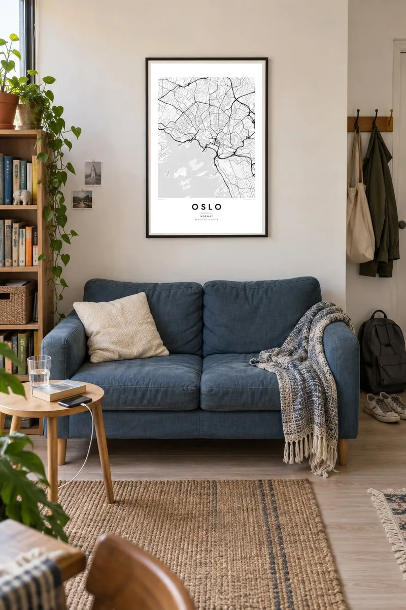
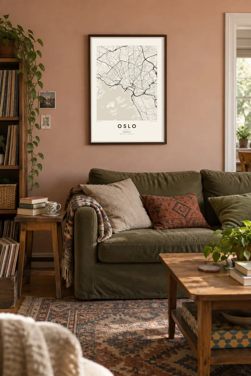

The map
Oslo lies at the head of the Oslofjord, where the long inlet narrows into a harbour scattered with small islands. The city fills the low ground around the water in a horseshoe, and forested hills known as the Marka enclose it to the north, east and west. On a map the contrast is striking: a dense centre, a shoreline of piers and peninsulas, and wide green space beyond the last streets.
The Akerselva river runs down from Lake Maridalsvannet through the city to the harbour. It once powered factories and is now lined with a footpath. On an Oslo map poster, Karl Johans gate draws a straight line from the Central Station to the Royal Palace, and the redeveloped Bjørvika waterfront, with the sloping marble Opera House, marks the eastern side of the harbour.
West of the centre, Frogner Park holds the Vigeland sculpture installation, a long axis of granite and bronze figures that shows on the map as a formal path through green space. On the hills above, the Holmenkollen ski jump looks down over the city and the fjord. Few capitals sit so close to both forest and water, and the map captures that balance in a single frame.
The inner fjord reaches into the city in a series of bays, piers and small islands. It gives the map a detailed, irregular southern edge.
A narrow river runs from the northern lakes through the city to the sea. It traces a thin, winding line that divides the eastern and western districts.
The Vigeland installation's formal central path cuts straight through the park. It is one of the clearest geometric features on the western side of the city.
Make it yours
Add a date, a name or a line of your own, switch style, size or orientation.
The free preview is low-resolution with a watermark. Prints and HD files are rendered at 300 DPI, up to 7,200 × 10,800 px, without a watermark.
Why Oslo
Oslo is a city people remember for its light, water and nearby forest, whether they grew up there, studied there or came for a season. The map brings the whole shape of the place into one quiet image.
Add a title, subtitle and date, perhaps the year you moved to Norway, and choose Classic black & white, Noir, Paper, Blueprint or Sand. Download print-ready files instantly or order a matte poster shipped from a nearby print partner.
Order the Oslo poster| Print size | Resolution | Files |
|---|---|---|
| 30 × 40 cm11.8 × 15.7″ | 3,543 × 4,724 px | PNG · PDF |
| 29.7 × 42 cm (A3)11.7 × 16.5″ | 3,508 × 4,961 px | PNG · PDF |
| 42 × 59.4 cm (A2)16.5 × 23.4″ | 4,961 × 7,016 px | PNG · PDF |
| 45.7 × 61 cm18 × 24″ | 5,400 × 7,200 px | PNG · PDF |
| 50 × 70 cm19.7 × 27.6″ | 5,906 × 8,268 px | PNG · PDF |
| 61 × 91.4 cm24 × 36″ | 7,200 × 10,800 px | PNG · PDF |
For comparison, the free preview is 900 px wide, watermarked and meant for screens. The HD files have up to 8× the resolution in each direction and print cleanly at full poster size.
Pick a style at the top of the page, then choose Printed Poster — a size and, if you like, a frame — or Digital HD Files. Checkout takes one step, and your order page updates as soon as the payment goes through.
It is printed on premium 200 gsm matte paper in one of six sizes, from 30 × 40 cm to 24 × 36″. Printed posters start at $39, shipping included.
Yes. Choose a solid wood frame in black, white, natural oak or dark wood. It comes with shatterproof glazing and is ready to hang. Framed posters start at $99, shipping included.
Shipping is free to 60+ countries. Each poster is printed by the nearest of our print partners in 30+ countries and usually arrives in 3–7 business days. You can follow the status and tracking under My Orders. A few countries take 2–5 weeks, and where we don't ship yet, the site tells you before you pay.
Send us a photo within 14 days of delivery and we will reprint it for free or refund you.
Yes. In the editor on this page, change the title, the subtitle and the coordinates line to anything you like, and pick a style and size. Printed, framed and digital orders all use exactly your design.
For $9 you get 300 DPI PNG and print-ready PDF files in all six sizes, without a watermark, to print anywhere. Not sure yet? Download a free watermarked preview first.
Nearby
