Section-line grid
Major roads follow the old land-survey grid at regular intervals, so the whole area divides into near-perfect squares. In black and white they look like a sheet of graph paper.
Minimalist map poster · United States
25.5384° N / 80.4089° W
A flat South Florida grid of nurseries, cul-de-sacs and long section-line roads between Biscayne Bay and the Everglades

One city, five moods
Tap a style to see it on the wall. Every style costs the same — printed, framed or as HD files.
 Actual pixels · 24 × 36″ print file
Print-sharp
This is a 100% crop of the real print file. Every poster — printed, framed or downloaded — is rendered on our servers at 300 DPI, up to 7,200 × 10,800 pixels, so even the smallest lanes stay crisp on a 24 × 36″ print.
On the wall

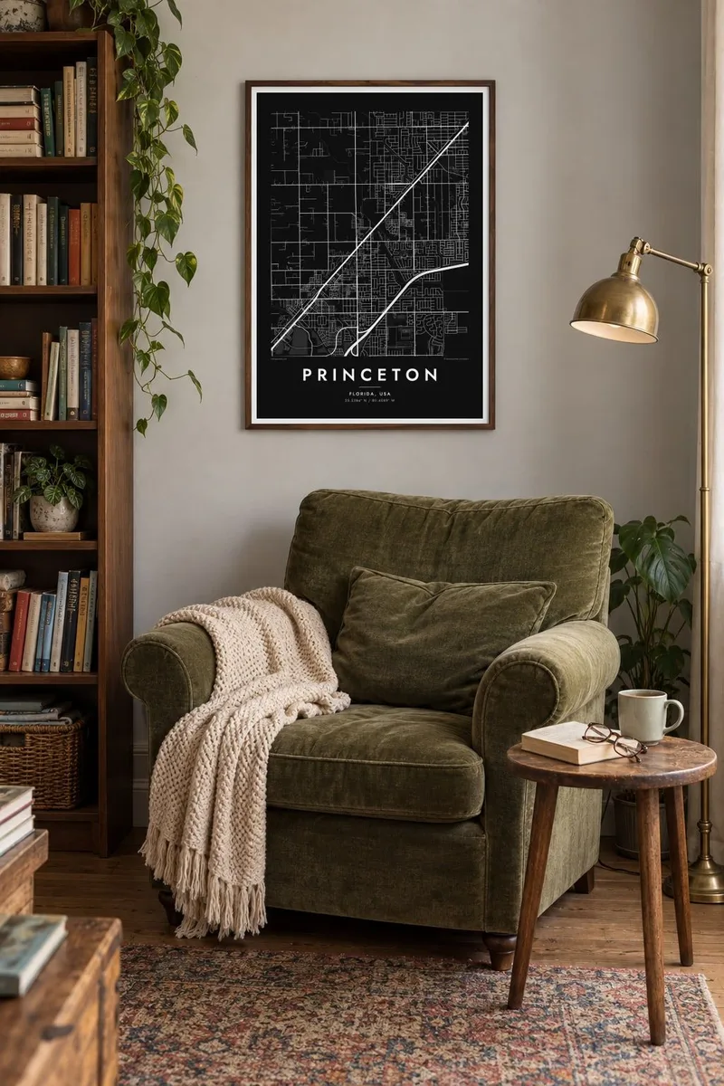
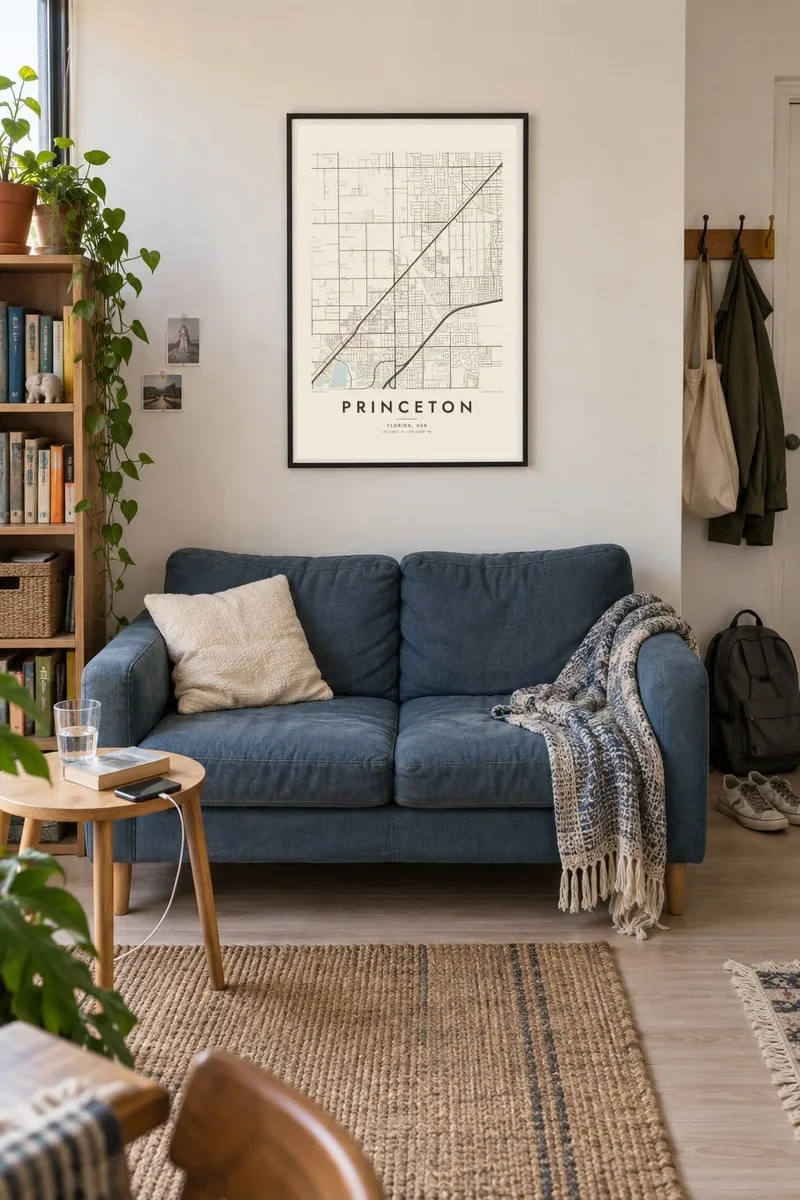
The map
Princeton sits in the southern part of Miami-Dade County, between the suburbs of Cutler Bay and the farm country around Homestead. On a map it reads as flat, low land divided into a strict grid. Long straight avenues run north to south and east to west at regular intervals. Inside that frame, newer subdivisions fill the squares with curving loops and cul-de-sacs.
The main lines through the area are the South Dixie Highway and the Florida's Turnpike, which run southwest toward the Keys side by side at a slight angle. Between and around them, blocks of housing meet plant nurseries and open parcels. East of Princeton the grid fades toward the mangrove edge of Biscayne Bay. To the west, the drained land stretches out toward the Everglades.
Much of South Miami-Dade was rebuilt after Hurricane Andrew struck in 1992, and a lot of today's street pattern dates from the years after. A Princeton map poster shows that layered suburban geometry clearly: an old agricultural survey grid with newer, softer street shapes written into it.
Major roads follow the old land-survey grid at regular intervals, so the whole area divides into near-perfect squares. In black and white they look like a sheet of graph paper.
The South Dixie Highway and Florida's Turnpike cut diagonally across the grid toward Homestead and the Keys. They are the only strong angles in an otherwise right-angled plan.
Inside the big grid squares, residential streets curl into loops and dead ends. At poster scale these cluster into small, dense patterns.
Make it yours
Add a date, a name or a line of your own, switch style, size or orientation.
The free preview is low-resolution with a watermark. Prints and HD files are rendered at 300 DPI, up to 7,200 × 10,800 px, without a watermark.
Why Princeton
Princeton is the kind of place people call home rather than visit, and that is exactly why a map of it is personal. A first house, a childhood street or a family nursery can be marked with your own title, a subtitle and a date that matters.
The grid prints especially cleanly. Classic black & white keeps it crisp, Blueprint suits the survey-line geometry, and Sand or Paper soften it for a living room. Noir turns the street pattern into fine light lines on a dark ground.
Order the Princeton poster| Print size | Resolution | Files |
|---|---|---|
| 30 × 40 cm11.8 × 15.7″ | 3,543 × 4,724 px | PNG · PDF |
| 29.7 × 42 cm (A3)11.7 × 16.5″ | 3,508 × 4,961 px | PNG · PDF |
| 42 × 59.4 cm (A2)16.5 × 23.4″ | 4,961 × 7,016 px | PNG · PDF |
| 45.7 × 61 cm18 × 24″ | 5,400 × 7,200 px | PNG · PDF |
| 50 × 70 cm19.7 × 27.6″ | 5,906 × 8,268 px | PNG · PDF |
| 61 × 91.4 cm24 × 36″ | 7,200 × 10,800 px | PNG · PDF |
For comparison, the free preview is 900 px wide, watermarked and meant for screens. The HD files have up to 8× the resolution in each direction and print cleanly at full poster size.
Pick a style at the top of the page, then choose Printed Poster — a size and, if you like, a frame — or Digital HD Files. Checkout takes one step, and your order page updates as soon as the payment goes through.
It is printed on premium 200 gsm matte paper in one of six sizes, from 30 × 40 cm to 24 × 36″. Printed posters start at $39, shipping included.
Yes. Choose a solid wood frame in black, white, natural oak or dark wood. It comes with shatterproof glazing and is ready to hang. Framed posters start at $99, shipping included.
Shipping is free to 60+ countries. Each poster is printed by the nearest of our print partners in 30+ countries and usually arrives in 3–7 business days. You can follow the status and tracking under My Orders. A few countries take 2–5 weeks, and where we don't ship yet, the site tells you before you pay.
Send us a photo within 14 days of delivery and we will reprint it for free or refund you.
Yes. In the editor on this page, change the title, the subtitle and the coordinates line to anything you like, and pick a style and size. Printed, framed and digital orders all use exactly your design.
For $9 you get 300 DPI PNG and print-ready PDF files in all six sizes, without a watermark, to print anywhere. Not sure yet? Download a free watermarked preview first.
Nearby
