Scattered districts
Neighbourhoods appear as separate clusters rather than one continuous city, each one originally built around a mine and linked by roads over the hills.
Minimalist map poster · Russia
53.9152° N / 86.7189° E
A coal city spread loosely across the hills of Kuzbass, its districts separated by mines, valleys and the winding Aba River.

One city, five moods
Tap a style to see it on the wall. Every style costs the same — printed, framed or as HD files.
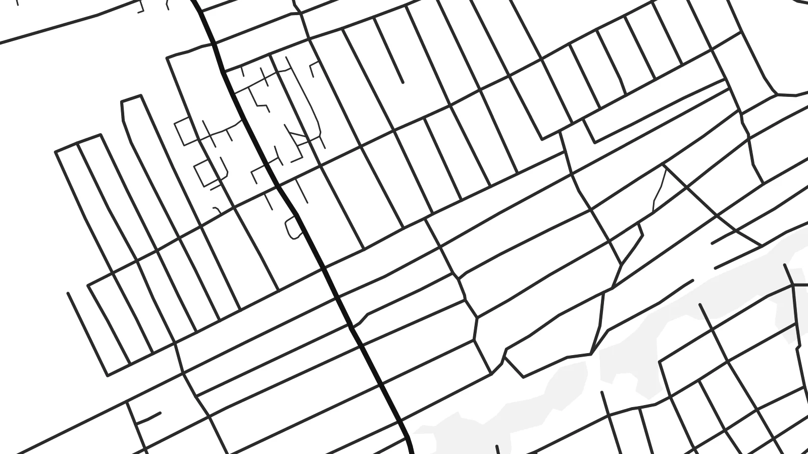 Actual pixels · 24 × 36″ print file
Print-sharp
This is a 100% crop of the real print file. Every poster — printed, framed or downloaded — is rendered on our servers at 300 DPI, up to 7,200 × 10,800 pixels, so even the smallest lanes stay crisp on a 24 × 36″ print.
On the wall


The map
Prokop’yevsk is one of the main coal-mining cities of the Kuznetsk Basin in southern Siberia. It does not have a compact centre. Instead, it spreads widely over hilly terrain, with separate districts that grew around individual mines and were later joined together. The small Aba River winds through the city, and railway lines and roads wrap around the slopes to connect the scattered neighbourhoods.
For most of the twentieth century, coal defined the city, with mines located almost everywhere within its boundaries. On the map, this history appears as gaps and irregular spaces between residential districts, former mining sites, spoil heaps and industrial railways. Many districts still have Soviet-era apartment blocks alongside streets of private wooden houses.
A Prokop’yevsk map poster captures this unusual structure: clusters of streets separated by empty land, curving roads following the hills, the thin line of the Aba and the railway tracks linking everything together. It is an honest portrait of an industrial city whose shape was determined by what lay beneath its surface.
Neighbourhoods appear as separate clusters rather than one continuous city, each one originally built around a mine and linked by roads over the hills.
A small river winds through the city in a series of bends, its valley providing one of the few natural lines in a heavily industrial landscape.
Railway lines curve between districts and former mining sites, forming long arcs that help to hold the widely spread city together on the map.
Make it yours
Add a date, a name or a line of your own, switch style, size or orientation.
The free preview is low-resolution with a watermark. Prints and HD files are rendered at 300 DPI, up to 7,200 × 10,800 px, without a watermark.
Why Prokop’yevsk
For people from Kuzbass, Prokop’yevsk is bound up with family history, shifts in the mines and a particular kind of hillside neighbourhood. A map of its scattered districts is a respectful way to remember where one comes from.
The title, subtitle and coordinates can be customised, including in Cyrillic, with a district, a year or a name. Choose from five styles and download high-resolution files, ready to print at any of six sizes.
Order the Prokop’yevsk poster| Print size | Resolution | Files |
|---|---|---|
| 30 × 40 cm11.8 × 15.7″ | 3,543 × 4,724 px | PNG · PDF |
| 29.7 × 42 cm (A3)11.7 × 16.5″ | 3,508 × 4,961 px | PNG · PDF |
| 42 × 59.4 cm (A2)16.5 × 23.4″ | 4,961 × 7,016 px | PNG · PDF |
| 45.7 × 61 cm18 × 24″ | 5,400 × 7,200 px | PNG · PDF |
| 50 × 70 cm19.7 × 27.6″ | 5,906 × 8,268 px | PNG · PDF |
| 61 × 91.4 cm24 × 36″ | 7,200 × 10,800 px | PNG · PDF |
For comparison, the free preview is 900 px wide, watermarked and meant for screens. The HD files have up to 8× the resolution in each direction and print cleanly at full poster size.
Pick a style at the top of the page, then choose Printed Poster — a size and, if you like, a frame — or Digital HD Files. Checkout takes one step, and your order page updates as soon as the payment goes through.
It is printed on premium 200 gsm matte paper in one of six sizes, from 30 × 40 cm to 24 × 36″. Printed posters start at $39, shipping included.
Yes. Choose a solid wood frame in black, white, natural oak or dark wood. It comes with shatterproof glazing and is ready to hang. Framed posters start at $99, shipping included.
Shipping is free to 60+ countries. Each poster is printed by the nearest of our print partners in 30+ countries and usually arrives in 3–7 business days. You can follow the status and tracking under My Orders. A few countries take 2–5 weeks, and where we don't ship yet, the site tells you before you pay.
Send us a photo within 14 days of delivery and we will reprint it for free or refund you.
Yes. In the editor on this page, change the title, the subtitle and the coordinates line to anything you like, and pick a style and size. Printed, framed and digital orders all use exactly your design.
For $9 you get 300 DPI PNG and print-ready PDF files in all six sizes, without a watermark, to print anywhere. Not sure yet? Download a free watermarked preview first.
Nearby
