Central Expressway
US 75 runs through Richardson from south to north. This wide corridor splits the city into eastern and western halves and anchors its main commercial strips.
Minimalist map poster · United States
32.9482° N / 96.7297° W
A tidy suburb north of Dallas, laid out in mile-square arterials and cut by a freeway and a light rail line.

One city, five moods
Tap a style to see it on the wall. Every style costs the same — printed, framed or as HD files.
 Actual pixels · 24 × 36″ print file
Print-sharp
This is a 100% crop of the real print file. Every poster — printed, framed or downloaded — is rendered on our servers at 300 DPI, up to 7,200 × 10,800 pixels, so even the smallest lanes stay crisp on a 24 × 36″ print.
On the wall


The map
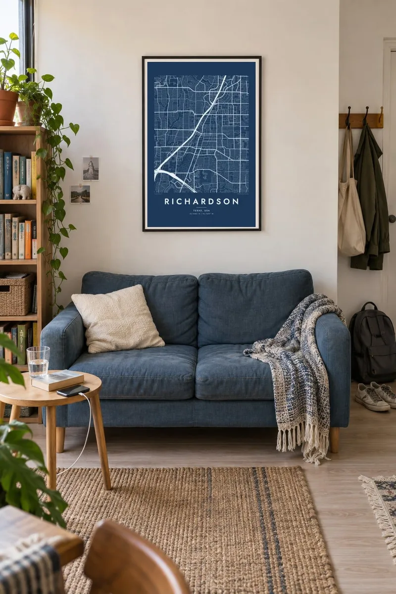
Richardson lies directly north of Dallas, and its map is a textbook case of Texas suburban planning. Major roads form a broad grid at intervals of roughly a mile, and inside each square, curving residential streets and cul-de-sacs fill the space. US 75, the Central Expressway, runs north through the city, and the DART light rail line runs alongside it on a similar course.
The city is known for the Telecom Corridor, a cluster of technology and telecommunications companies that grew here from the late twentieth century. The University of Texas at Dallas has a large campus in the northwest of the city, and its open spaces and loop roads are clearly visible from above. The President George Bush Turnpike crosses the northern part of town.
A Richardson map poster brings out the quiet rhythm of this layout: the strong lines of the highways, the regular squares of main roads and the looping residential streets inside them. Creeks and greenbelts wind across the grid, adding a softer natural line to a composition that is otherwise very ordered.
US 75 runs through Richardson from south to north. This wide corridor splits the city into eastern and western halves and anchors its main commercial strips.
The university campus in the northwest is a large open parcel with its own paths and loop roads, clearly distinct from the surrounding neighbourhoods.
Wooded creek corridors wind across the grid of main roads. These green strips with trails break up the straight lines and link parks through residential areas.
Make it yours
Add a date, a name or a line of your own, switch style, size or orientation.
The free preview is low-resolution with a watermark. Prints and HD files are rendered at 300 DPI, up to 7,200 × 10,800 px, without a watermark.
Why Richardson
Richardson draws people from around the world to study and to work in tech, and many spend formative years here before moving on. A poster of the city is a clear, unfussy reminder of a campus, a first job or a first house.
You can change the title, add a graduation year or a move-in date in the subtitle, and edit the coordinates line. Blueprint suits the engineering spirit of the Telecom Corridor, but Classic black & white, Noir, Paper and Sand are just as available, and the HD files cost $9.
Order the Richardson poster| Print size | Resolution | Files |
|---|---|---|
| 30 × 40 cm11.8 × 15.7″ | 3,543 × 4,724 px | PNG · PDF |
| 29.7 × 42 cm (A3)11.7 × 16.5″ | 3,508 × 4,961 px | PNG · PDF |
| 42 × 59.4 cm (A2)16.5 × 23.4″ | 4,961 × 7,016 px | PNG · PDF |
| 45.7 × 61 cm18 × 24″ | 5,400 × 7,200 px | PNG · PDF |
| 50 × 70 cm19.7 × 27.6″ | 5,906 × 8,268 px | PNG · PDF |
| 61 × 91.4 cm24 × 36″ | 7,200 × 10,800 px | PNG · PDF |
For comparison, the free preview is 900 px wide, watermarked and meant for screens. The HD files have up to 8× the resolution in each direction and print cleanly at full poster size.
Pick a style at the top of the page, then choose Printed Poster — a size and, if you like, a frame — or Digital HD Files. Checkout takes one step, and your order page updates as soon as the payment goes through.
It is printed on premium 200 gsm matte paper in one of six sizes, from 30 × 40 cm to 24 × 36″. Printed posters start at $39, shipping included.
Yes. Choose a solid wood frame in black, white, natural oak or dark wood. It comes with shatterproof glazing and is ready to hang. Framed posters start at $99, shipping included.
Shipping is free to 60+ countries. Each poster is printed by the nearest of our print partners in 30+ countries and usually arrives in 3–7 business days. You can follow the status and tracking under My Orders. A few countries take 2–5 weeks, and where we don't ship yet, the site tells you before you pay.
Send us a photo within 14 days of delivery and we will reprint it for free or refund you.
Yes. In the editor on this page, change the title, the subtitle and the coordinates line to anything you like, and pick a style and size. Printed, framed and digital orders all use exactly your design.
For $9 you get 300 DPI PNG and print-ready PDF files in all six sizes, without a watermark, to print anywhere. Not sure yet? Download a free watermarked preview first.
Nearby
