Fitzroy River
The wide, gently curving river divides the city into two halves joined by only a few bridges, and it gives the map a strong central axis.
Minimalist map poster · Australia
23.3803° S / 150.5060° E
A river city on the Tropic of Capricorn, its grid laid along the Fitzroy with Mount Archer rising to the east.

One city, five moods
Tap a style to see it on the wall. Every style costs the same — printed, framed or as HD files.
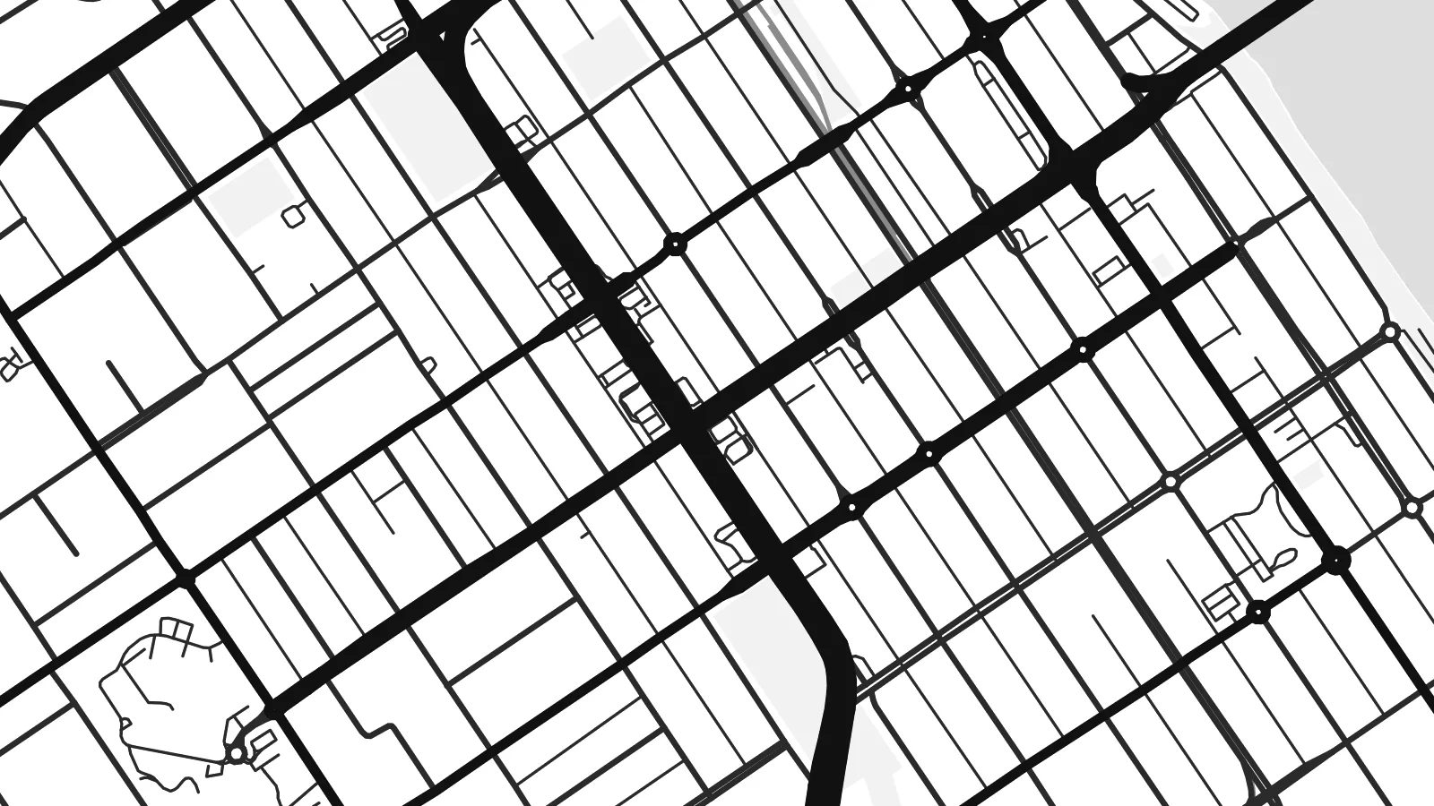 Actual pixels · 24 × 36″ print file
Print-sharp
This is a 100% crop of the real print file. Every poster — printed, framed or downloaded — is rendered on our servers at 300 DPI, up to 7,200 × 10,800 pixels, so even the smallest lanes stay crisp on a 24 × 36″ print.
On the wall


The map
Rockhampton sits on the Fitzroy River in central Queensland, a short distance inland from the coast. The river is the defining line of the map, a broad, slow channel that separates the older grid on the southern bank from the suburbs to the north. The Tropic of Capricorn passes through the city, marked by a spire on the southern approach.
The central streets follow a regular colonial grid, and Quay Street keeps a long row of nineteenth-century buildings facing the river. Mount Archer forms a forested rise on the eastern side, and its slopes bend the suburban roads into curves. Rockhampton also calls itself the beef capital of Australia, a title you can see in the bull statues around town.
A Rockhampton map poster suits a wider frame, so the Fitzroy can run across the sheet and the hills can soften the eastern edge. The digital version costs $9 and includes six sizes, from 18×24″ to 50×70 cm and beyond, each as a 300 DPI PNG and a print-ready PDF without a watermark. You can also order it as a printed poster on matte paper.
The wide, gently curving river divides the city into two halves joined by only a few bridges, and it gives the map a strong central axis.
South of the river, the CBD follows a straight, regular grid of blocks. Quay Street runs along the bank, with its heritage buildings facing the water.
To the east the land rises into Mount Archer. There, streets give way to bush and roads that follow the contours, which makes a quieter edge for the composition.
Make it yours
Add a date, a name or a line of your own, switch style, size or orientation.
The free preview is low-resolution with a watermark. Prints and HD files are rendered at 300 DPI, up to 7,200 × 10,800 px, without a watermark.
Why Rockhampton
Rockhampton is a regional centre, and many people pass through it for work, study or family. A map of the river bends and the grid gives a clear sense of the place and suits homes far from central Queensland as well as local ones.
Personalise the title, subtitle and coordinates line, perhaps with the tropic's latitude or a family surname, and pick from Classic black & white, Noir, Paper, Blueprint or Sand. Sand suits the warm light of the region especially well.
Order the Rockhampton poster| Print size | Resolution | Files |
|---|---|---|
| 30 × 40 cm11.8 × 15.7″ | 3,543 × 4,724 px | PNG · PDF |
| 29.7 × 42 cm (A3)11.7 × 16.5″ | 3,508 × 4,961 px | PNG · PDF |
| 42 × 59.4 cm (A2)16.5 × 23.4″ | 4,961 × 7,016 px | PNG · PDF |
| 45.7 × 61 cm18 × 24″ | 5,400 × 7,200 px | PNG · PDF |
| 50 × 70 cm19.7 × 27.6″ | 5,906 × 8,268 px | PNG · PDF |
| 61 × 91.4 cm24 × 36″ | 7,200 × 10,800 px | PNG · PDF |
For comparison, the free preview is 900 px wide, watermarked and meant for screens. The HD files have up to 8× the resolution in each direction and print cleanly at full poster size.
Pick a style at the top of the page, then choose Printed Poster — a size and, if you like, a frame — or Digital HD Files. Checkout takes one step, and your order page updates as soon as the payment goes through.
It is printed on premium 200 gsm matte paper in one of six sizes, from 30 × 40 cm to 24 × 36″. Printed posters start at $39, shipping included.
Yes. Choose a solid wood frame in black, white, natural oak or dark wood. It comes with shatterproof glazing and is ready to hang. Framed posters start at $99, shipping included.
Shipping is free to 60+ countries. Each poster is printed by the nearest of our print partners in 30+ countries and usually arrives in 3–7 business days. You can follow the status and tracking under My Orders. A few countries take 2–5 weeks, and where we don't ship yet, the site tells you before you pay.
Send us a photo within 14 days of delivery and we will reprint it for free or refund you.
Yes. In the editor on this page, change the title, the subtitle and the coordinates line to anything you like, and pick a style and size. Printed, framed and digital orders all use exactly your design.
For $9 you get 300 DPI PNG and print-ready PDF files in all six sizes, without a watermark, to print anywhere. Not sure yet? Download a free watermarked preview first.
Nearby
